
Historic bridges · East of England
Bridge Over Road And Revetments To Cutting, 160 Metres To South Of Nettleden Road
In or near Ashridge.
Bridge Over Road And Revetments To Cutting, 160 Metres To South Of Nettleden Road — Grade II listed building-listed bridge in england-west-midlands, United Kingdom.

Tom Presland — CC BY-SA 2.0 via Wikimedia Commons licence

Plan your visit
- Typical visit
- 15 min–30 min
- Nearest railway station
- Berkhamsted · 3.4 km
- Free entry
- Dog-friendly
Getting there & planning your visit
To visit the Bridge Over Road And Revetments To Cutting, the nearest railway station is Berkhamsted, located 3.4 km away. The postcode for navigation is HP1 3DA, and entry to the site is free.
About
Bridge Over Road And Revetments To Cutting, 160 Metres To South Of Nettleden Road is a Grade II listed building-listed bridge in england-west-midlands, United Kingdom, registered on the National Heritage List for England (NHLE entry 1174425). Listed status protects buildings and structures of special architectural or historic interest. See the linked Wikipedia article for further details.
Photo gallery
Heritage listing
Details TL 01 SW NETTLEDEN WITH ROMAN ROAD POTTEN END Nettleden 3/223 Bridge over road and - revetments to cutting, 160m to S of Nettleden Road GV II Flyover bridge to carry former principal drive to Ashridge over a local road artifically sunk here with revetted sides. Early C19, probably by James Wyatt, for Earl of Bridgewater c.1808. Bridge of red brick in English-bond with Portland stone string course, piers and hogsback- section coping between: revetments of similar brick and bond with large panels of uncoursed knapped flints. A Tudor-arched bridge of about 4m span and 3.5m height to springing of arch, built in 6 segments stepping up the slope southwards, and supporting a wide carriageway for the former drive running E-W at the upper level. The low brick parapets with splayed ends were broken by 4 tall Gothic stone piers on each side with cusped panels in each face and cross-gabled tops. The lower halfs remain but the upper parts lie tumbled in the vicinity. The deep cutting with revetted sides extends for some distance. Listing NGR: TL0204410506 Legacy The contents of this record have been generated from a legacy data system. Legacy System number: 158004 Legacy System: LBS
From the Historic England List Entry under OGL v3.
Protected designations
- Area of Outstanding Natural Beauty: Chilterns
Designations sourced from Natural England open data under OGL v3.
Place summary
Bridge Over Road And Revetments To Cutting, located 160 metres to the south of Nettleden Road in Hertfordshire, is a Grade II listed building. It serves as a notable example of early 20th-century engineering in the West Midlands region.
AI-generated from the structured facts on this page (operator, designation, listing, era). Not a substitute for visiting.
- Coordinates
- 51.7828, -0.5246
- County
- Hertfordshire
- District
- Dacorum
- Parish
- Nettleden with Potten End
- Postcode
- HP1 3DA
- Parliamentary constituency
- Harpenden and Berkhamsted
- Established
- 1808
- Nearest railway station
- Berkhamsted — 3.4 km
Sources
- wikidata: Q26469111 (CC0)
Other places nearby

Highridge Farm Camping
Campsites · 0.4 km
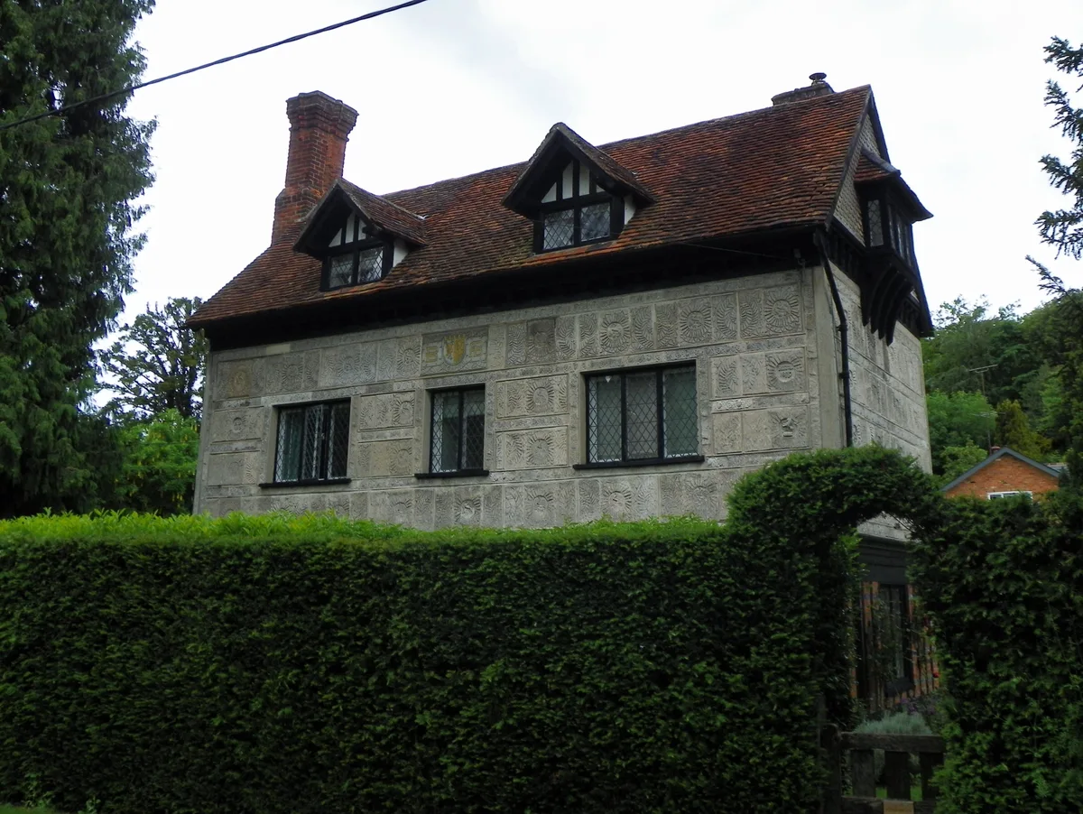
Little Manor
Stately homes · 0.6 km

Amaravati Monastery
Historic churches · 1.1 km
Amaravati Temple
Historic churches · 1.1 km

Great Gaddesden War Memorial Cross
Memorials & monuments · 1.4 km

St Margarets Priory (Remains)
Abbeys & priories · 1.5 km

St Margarets Priory (Remains)
Archaeological sites · 1.5 km

Potten End War Memorial
Memorials & monuments · 1.5 km

Great Gaddesden
Villages · 1.6 km
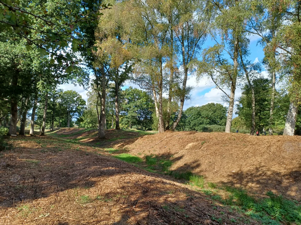
Sections of Grims Ditch
Archaeological sites · 1.7 km

Grimms Ditch
Archaeological sites · 1.7 km

Inns of Court War Memorial
Memorials & monuments · 1.8 km
Nearby
📷 5Campsites · East of England
Highridge Farm Camping
Highridge Farm Camping — a campsite in england west midlands.
Flagship📷 3Stately homes · East of England
Little Manor
Little Manor — manor house in Nettleden with Potten End, Dacorum, Hertfordshire, England, UK.
📷 5Historic churches · East of England
Amaravati Monastery
Amaravati Monastery — a church in england-west-midlands, United Kingdom.
📷 5Historic churches · East of England
Amaravati Temple
Amaravati Temple — a church in england-west-midlands, United Kingdom.
📷 3Memorials & monuments · East of England
Great Gaddesden War Memorial Cross
Great Gaddesden War Memorial Cross — Grade II listed building-listed memorial in england-west-midlands, United Kingdom.
📷 3Abbeys & priories · East of England
St Margarets Priory (Remains)
St Margarets Priory (Remains) — a abbey in england-west-midlands, United Kingdom.
Where to eat & stay near Bridge Over Road And Revetments To Cutting, 160 Metres To South Of Nettleden Road
Places to stay
📷 5Campsites · East of England
Highridge Farm Camping
Highridge Farm Camping — a campsite in england west midlands.
 📷 5
📷 5Campsites · South East England
Norcott Campsite - Camping In The Orchard
Norcott Campsite - Camping In The Orchard — a campsite in england west midlands.
 📷 5
📷 5Campsites · East of England
Phasels Wood Activity Centre
Phasels Wood Activity Centre — a campsite in england london.
 📷 5
📷 5Hotels · East of England
Shendish Manor Hotel
Shendish Manor Hotel — a hotel in england london.
 📷 3
📷 3 📷 5
📷 5Hotels · East of England
Aubrey Park Hotel
Aubrey Park Hotel — a hotel in england london.
Places to eat & drink
 📷 5
📷 5Historic pubs · East of England
The Red Lion Public House And Attached Coachhouse
The Red Lion Public House And Attached Coachhouse in England East, United Kingdom.
 📷 5
📷 5Cafés · East of England
Fred and Ginger Coffee
Fred and Ginger Coffee — a café in england west midlands.
 📷 5
📷 5Historic pubs · East of England
Ye Olde Chequers Public House
Ye Olde Chequers Public House in England East, United Kingdom.
 📷 5
📷 5 📷 5
📷 5Historic pubs · East of England
Saint George And The Dragon Public House
Saint George And The Dragon Public House in England East, United Kingdom.
 📷 5
📷 5Historic pubs · East of England
The Valiant Trooper Public House
The Valiant Trooper Public House in England East, United Kingdom.
Other works by James Wyatt
 📷 5
📷 5Historic houses · London
Home House
Home House — Grade I listed building in City of Westminster, United Kingdom.
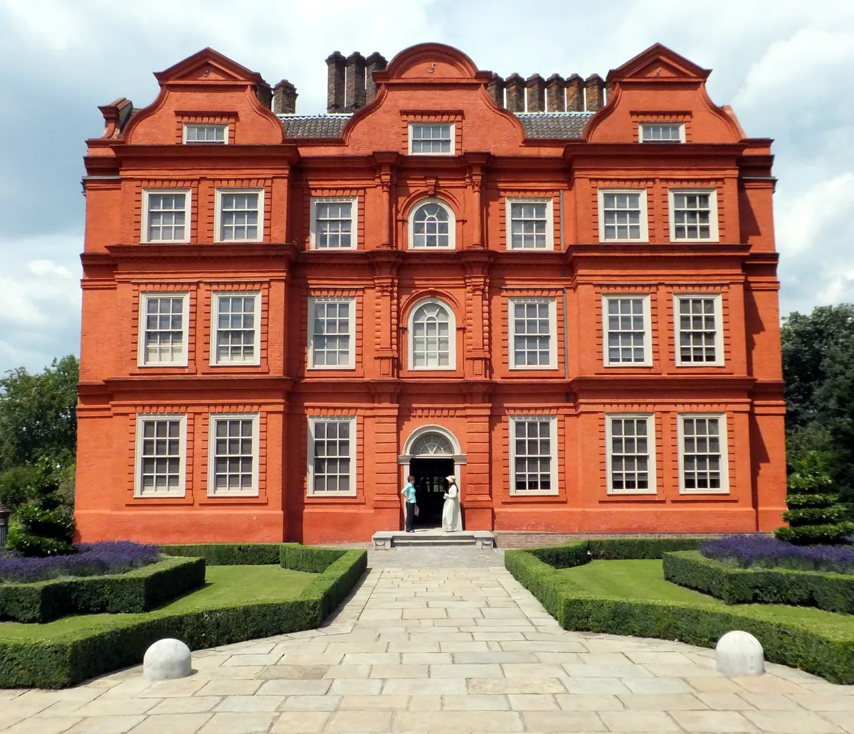 ★ Iconic📷 5
Palaces · London
Kew Palace
Kew Palace — Grade I listed historic house museum in London Borough of Richmond upon Thames, United Kingdom.
 📷 5
📷 5 📷 5
📷 5More bridges in this region
.JPG?width=1200) 📷 5
📷 5Historic bridges · East of England
Albert Bridge
Albert Bridge is a historic bridge in the United Kingdom.
.jpg?width=1200) 📷 5
📷 5Historic bridges · East of England
Bedford Town Bridge
Bedford Town Bridge is a historic bridge in the United Kingdom.
 📷 5
📷 5Historic bridges · East of England
Bethnal Green and King's Lynn Line
Bethnal Green and King's Lynn Line is a historic bridge in the United Kingdom.
 📷 5
📷 5Historic bridges · East of England
Bethnal Green and King's Lynn Line
Bethnal Green and King's Lynn Line is a historic bridge in the United Kingdom.
Frequently asked questions
- Where is Bridge Over Road And Revetments To Cutting, 160 Metres To South Of Nettleden Road?
- Bridge Over Road And Revetments To Cutting, 160 Metres To South Of Nettleden Road is in Hertfordshire, the West Midlands, United Kingdom (postcode HP1 3DA), in the parish of Nettleden with Potten End.
- What is Bridge Over Road And Revetments To Cutting, 160 Metres To South Of Nettleden Road?
- Bridge Over Road And Revetments To Cutting, 160 Metres To South Of Nettleden Road — Grade II listed building-listed bridge in england-west-midlands, United Kingdom.
- How do I get to Bridge Over Road And Revetments To Cutting, 160 Metres To South Of Nettleden Road?
- The nearest railway station is Berkhamsted, about 3.4 km away. Drivers can use postcode HP1 3DA.
- When was Bridge Over Road And Revetments To Cutting, 160 Metres To South Of Nettleden Road built?
- Built or established in 1808. Designed by James Wyatt.
- Is Bridge Over Road And Revetments To Cutting, 160 Metres To South Of Nettleden Road a listed building?
- Bridge Over Road And Revetments To Cutting, 160 Metres To South Of Nettleden Road is officially recognised as Grade II listed building listed.
- Is Bridge Over Road And Revetments To Cutting, 160 Metres To South Of Nettleden Road a protected site?
- Yes — Bridge Over Road And Revetments To Cutting, 160 Metres To South Of Nettleden Road is part of the Chilterns National Landscape (AONB).
- Is Bridge Over Road And Revetments To Cutting, 160 Metres To South Of Nettleden Road free to visit?
- Yes, Bridge Over Road And Revetments To Cutting, 160 Metres To South Of Nettleden Road is free to enter.
- How do I get to Bridge Over Road And Revetments To Cutting, 160 Metres To South Of Nettleden Road?
- The nearest railway station is Berkhamsted, about 3.4 km away. Drivers can navigate to postcode HP1 3DA.