
Beaches · South Wales
Brean
In or near Kewstoke.
Brean is a village and civil parish between Weston-super-Mare and Burnham-on-Sea in Somerset, England. The name is derived from "Bryn"; Brythonic and Modern Welsh for a hill. It has a population of 63

JThomas — CC BY-SA 2.0 via Wikimedia Commons licence

Plan your visit
- Typical visit
- 1 h–3 h
- Best time of year
- Summer (Jun–Aug)
- Nearest railway station
- Weston-super-Mare · 5.6 km
- Free entry
- Family-friendly
- Dog-friendly
Getting there & planning your visit
Brean is located in Somerset with the postcode TA8 2SG. The nearest railway station is Weston-super-Mare, which is 5.6 km away. Entry to the beach is free.
About
Brean is a village and civil parish between Weston-super-Mare and Burnham-on-Sea in Somerset, England. The name is derived from "Bryn"; Brythonic and Modern Welsh for a hill. It has a population of 635. Close to the village is Brean Down, a promontory standing 320 feet (98 m) high and extending 1.5 miles (2.4 km) into the Bristol Channel, on which stands Brean Down Fort, marking the end of Weston Bay. The village is on a strip of land between the sea and the River Axe. It is the home of Brean Leisure Park, a tropical bird garden, other tourist attractions, and several caravan parks. The sandy beach has been used for land sailing since 1970. Sometimes, Brean can also be linked with the nearby village, Berrow so the villages can also be called Berrow & Brean.
Photo gallery
360° view
Imagery © Mapillary contributors, CC BY-SA 4.0
Protected designations
- Site of Special Scientific Interest: Bridgwater Bay SSSI
- National Nature Reserve: MENDIP
- Ramsar wetland: Severn Estuary
Designations sourced from Natural England open data under OGL v3.
From the Wikipedia article
Brean is a village and civil parish between Weston-super-Mare and Burnham-on-Sea in Somerset, England. The name is derived from "Bryn"; Brythonic and Modern Welsh for a hill. It has a population of 635. Close to the village is Brean Down, a promontory standing 320 feet (98 m) high and extending 1.5 miles (2.4 km) into the Bristol Channel, on which stands Brean Down Fort, marking the end of Weston Bay. The village is on a strip of land between the sea and the River Axe. It is the home of Brean Leisure Park, a tropical bird garden, other tourist attractions, and several caravan parks. The sandy beach has been used for land sailing since 1970. Sometimes, Brean can also be linked with the nearby village, Berrow so the villages can also be called Berrow & Brean.
Excerpt from Wikipedia under CC BY-SA 4.0. See the source article linked in Sources below.
Background
History
Brean was part of the hundred of Bempstone. During the Bristol Channel floods of 1607, the village was flooded, with seven of its nine houses being destroyed and 26 inhabitants drowned.
Sourced from Wikipedia under CC BY-SA 4.0.
- Coordinates
- 51.3000, -3.0110
- District
- Somerset
- Parish
- Brean
- Postcode
- TA8 2SG
- Parliamentary constituency
- Bridgwater
- Nearest railway station
- Weston-super-Mare — 5.6 km
- Official site
- www.neighbourhood.statistics.gov.uk
Sources
- wikipedia: Brean (CC BY-SA 4.0)
Other places nearby

Warren Farm Holiday Centre
Campsites · 0.3 km

Northam Farm Caravan & Touring Park
Campsites · 0.6 km

Diamond Farm Caravan Park
Caravan parks · 0.8 km

Northam Farm Caravan Park and Camp Site
Caravan parks · 1.0 km

Diamond Farm Touring Park
Caravan parks · 1.1 km

Stardust Leisure
Natural landmarks · 1.5 km

Channel View
Campsites · 1.6 km

Brean Sands Holiday Centre
Beaches · 1.7 km

Beachside Holiday Park
Caravan parks · 2.0 km

Brean Theme Park
Theme parks · 2.1 km

Brean Down Caravan Park
Caravan parks · 2.2 km

Brean Sands
Caravan parks · 2.2 km
Nearby
📷 5Campsites · South Wales
Warren Farm Holiday Centre
Warren Farm Holiday Centre — a campsite in wales south.
📷 5Campsites · South West England
Northam Farm Caravan & Touring Park
Northam Farm Caravan & Touring Park — a campsite in england south west.
📷 5Caravan parks · South West England
Diamond Farm Caravan Park
Diamond Farm Caravan Park — a caravan park in england south west.
📷 5Caravan parks · South West England
Northam Farm Caravan Park and Camp Site
Northam Farm Caravan Park and Camp Site — a caravan park in england south west.
📷 5Caravan parks · South West England
Diamond Farm Touring Park
Diamond Farm Touring Park — a caravan park in england south west.
📷 3Natural landmarks · South West England
Stardust Leisure
Stardust Leisure — a other in england-south-west, United Kingdom.
Where to eat & stay near Brean
Places to stay
📷 5Campsites · South Wales
Warren Farm Holiday Centre
Warren Farm Holiday Centre — a campsite in wales south.
📷 5Campsites · South West England
Northam Farm Caravan & Touring Park
Northam Farm Caravan & Touring Park — a campsite in england south west.
📷 5Caravan parks · South West England
Diamond Farm Caravan Park
Diamond Farm Caravan Park — a caravan park in england south west.
📷 5Caravan parks · South West England
Northam Farm Caravan Park and Camp Site
Northam Farm Caravan Park and Camp Site — a caravan park in england south west.
📷 5Caravan parks · South West England
Diamond Farm Touring Park
Diamond Farm Touring Park — a caravan park in england south west.
📷 5Campsites · South Wales
Channel View
Channel View — a campsite in wales south.
Places to eat & drink

 📷 5
📷 5 📷 5
📷 5 📷 5
📷 5Restaurants · South Wales
The Pavilion
The Pavilion — a restaurant in wales south.

 📷 5
📷 5Restaurants · South Wales
Muffins Tea Room & Brasserie
Muffins Tea Room & Brasserie — a restaurant in wales south.
More beaches in this region
 📷 3
📷 3Beaches · South Wales
ABCC Meeting Point
ABCC Meeting Point is a beach in the United Kingdom.
 📷 3
📷 3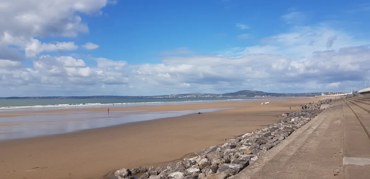 📷 4
📷 4Beaches · South Wales
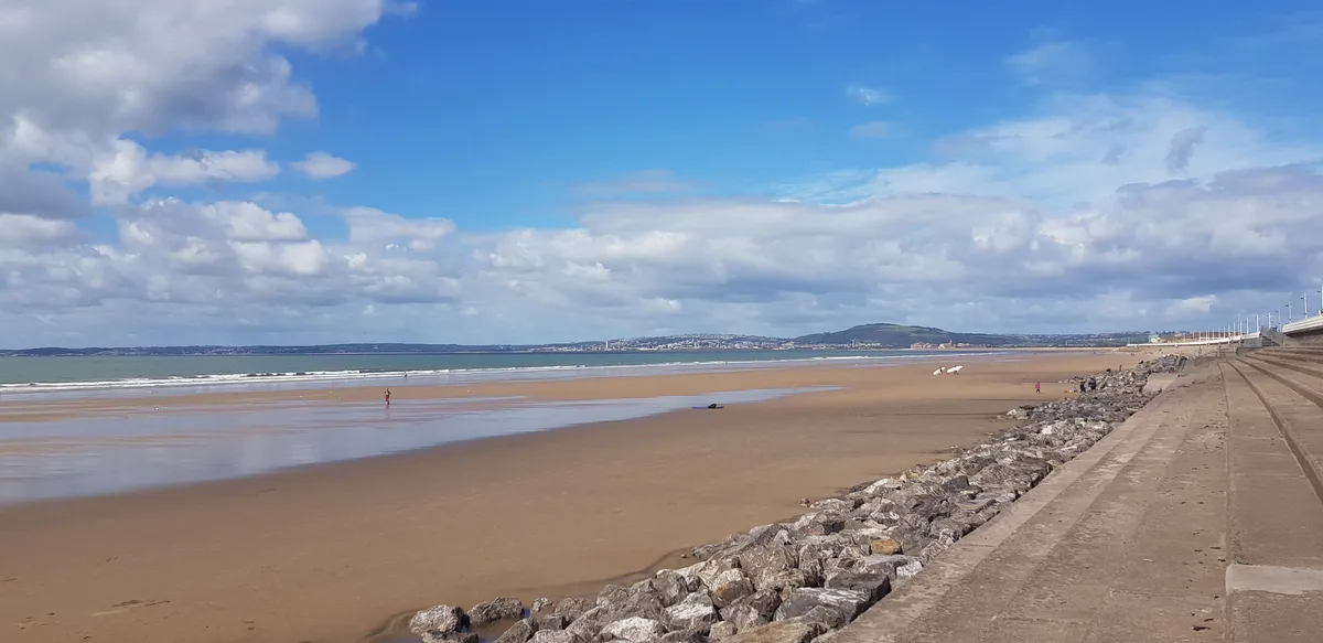
Aberavon Beach
Aberavon Beach is a beach in the United Kingdom.
 📷 4
📷 4Frequently asked questions
- Where is Brean?
- Brean is in South Wales, United Kingdom (postcode TA8 2SG), in the parish of Brean.
- What is Brean?
- Brean is a village and civil parish between Weston-super-Mare and Burnham-on-Sea in Somerset, England. The name is derived from "Bryn"; Brythonic and Modern Welsh for a hill. It has a population of 63
- How do I get to Brean?
- The nearest railway station is Weston-super-Mare, about 5.6 km away. Drivers can use postcode TA8 2SG.
- Is Brean a protected site?
- Yes — Brean is part of the Bridgwater Bay SSSI Site of Special Scientific Interest and the MENDIP National Nature Reserve.
- Is Brean free to visit?
- Yes, Brean is free to enter.
- How do I get to Brean?
- The nearest railway station is Weston-super-Mare, about 5.6 km away. Drivers can navigate to postcode TA8 2SG.