
Museums · South East England
Bracknell Forest
In or near Winkfield.
Bracknell Forest is a borough with unitary status in Berkshire, England, centred on the two towns of Bracknell and Sandhurst. It also includes the villages of Crowthorne and also includes the areas of

Steve Daniels — CC BY-SA 2.0 via Wikimedia Commons licence

Plan your visit
- Typical visit
- 1.5 h–3 h
- Best time of year
- Year-round
- Nearest railway station
- Bracknell · 0.6 km
- Family-friendly
- Limited wheelchair access
About
Bracknell Forest is a borough with unitary status in Berkshire, England, centred on the two towns of Bracknell and Sandhurst. It also includes the villages of Crowthorne and also includes the areas of North Ascot, Binfield, Warfield, and Winkfield. The borough borders the Berkshire boroughs of Wokingham and the Royal Borough of Windsor and Maidenhead, and also parts of Surrey and Hampshire.
Photo gallery
See it from the streetimagery from 2018
Imagery © Mapillary contributors, CC BY-SA 4.0
From the Wikipedia article
Bracknell Forest is a borough with unitary status in Berkshire, England, centred on the two towns of Bracknell and Sandhurst. It also includes the villages of Crowthorne and also includes the areas of North Ascot, Binfield, Warfield, and Winkfield. The borough borders the Berkshire boroughs of Wokingham and the Royal Borough of Windsor and Maidenhead, and also parts of Surrey and Hampshire.
Excerpt from Wikipedia under CC BY-SA 4.0. See the source article linked in Sources below.
Background
History
The district was formed as Easthampstead Rural District under the Local Government Act 1894 as a successor to the Easthampstead rural sanitary district. Originally a small rural district, its population was about 20,000 during World War II. Bracknell, in the district, was one of the first post-war new towns to be designated, and became a civil parish in 1955, created from parts of Binfield, Easthampstead, Warfield and Winkfield parishes. Bracknell had originally been a hamlet at the far south-west of Warfield parish. The district's population rose rapidly, and reached 64,135 by the 1971 census. In 1974 the district was reconstituted as the non-metropolitan district of Bracknell under the…
Sourced from Wikipedia under CC BY-SA 4.0.
- Coordinates
- 51.4170, -0.7469
- District
- Bracknell Forest
- Parish
- Bracknell
- Postcode
- RG12 1AD
- Parliamentary constituency
- Bracknell
- Nearest railway station
- Bracknell — 0.6 km
Sources
- wikipedia: Bracknell Forest (CC BY-SA 4.0)
Other places nearby

Bracknell and Wokingham College
Ironworks & forges · 0.2 km

Cineworld
Cinemas · 0.3 km

Bracknell
Memorials & monuments · 0.3 km

ABC Bracknell
Theatres · 0.4 km

Odeon
Cinemas · 0.5 km

Odeon Bracknell
Theatres · 0.7 km
Sperry's New Symbolic Gyroscope
Public art & sculpture · 0.9 km
Sperry's Gyroscope
Memorials & monuments · 0.9 km

The Parks Leaves
Public art & sculpture · 0.9 km
Bill Hill
Archaeological sites · 1.1 km
The Brakenhale School
Natural landmarks · 1.2 km

Pigeon
Public art & sculpture · 1.5 km
Nearby
📷 5Ironworks & forges · South East England
Bracknell and Wokingham College
Bracknell and Wokingham College is a ironworks in the United Kingdom.
📷 5📷 5Memorials & monuments · South East England
Bracknell
Bracknell — a memorial in england-south-east, United Kingdom.
📷 5📷 5📷 5Where to eat & stay near Bracknell Forest
Places to stay
 📷 5
📷 5Campsites · South East England
Scotlands House Campsite
Scotlands House Campsite — a campsite in england south east.
 📷 5
📷 5Hotels · South East England
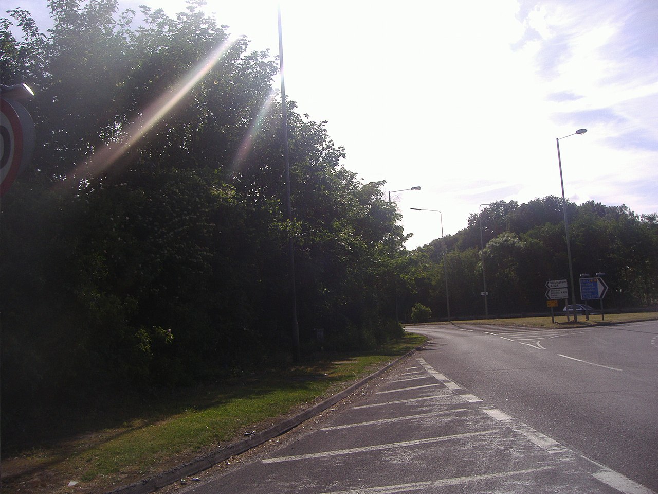
Coppid Beech Hotel
Coppid Beech Hotel — a hotel in england south east.
 📷 5
📷 5Hotels · South East England
DoubleTree by Hilton St. Anne's Manor
DoubleTree by Hilton St. Anne's Manor — a hotel in england south east.
 📷 5
📷 5Hotels · South East England
The Winning Post
The Winning Post — a hotel in england south east.
 📷 5
📷 5Hotels · South East England
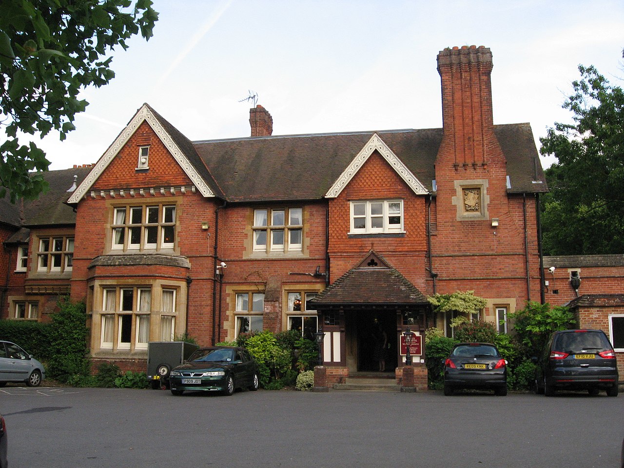
Cantley House Hotel
Cantley House Hotel — a hotel in england south east.
 📷 5
📷 5Campsites · South East England
Earleywood Campsite and County Centre
Earleywood Campsite and County Centre — a campsite in england south east.
Places to eat & drink
 📷 5
📷 5Restaurants · South East England
Peacock Farm
Peacock Farm — a restaurant in england south east.
 📷 7
📷 7Historic pubs · South East England
Nos 3 And 5 And The Southern Section Of The Victoria Arms Public House
Nos 3 And 5 And The Southern Section Of The Victoria Arms Public House in England South East, United Kingdom.
 📷 5
📷 5Historic pubs · South East England
The Metropolitan Public House
The Metropolitan Public House in England South East, United Kingdom.
 📷 7
📷 7Historic pubs · South East England
Ye Olde Rose Inne
Ye Olde Rose Inne in England South East, United Kingdom.
 📷 7
📷 7Historic pubs · South East England
Roebuck Public House
Roebuck Public House in England South East, United Kingdom.
 📷 7
📷 7Historic pubs · South East England
The Lord Raglan Public House
The Lord Raglan Public House in England South East, United Kingdom.
More museums in this region
 📷 5
📷 5Museums · South East England
Coldrum Long Barrow
Coldrum Long Barrow — neolithic chambered long barrow near Trottiscliffe, Kent, England, UK.
 📷 5
📷 5Museums · South East England
Guildford House
Guildford House — house in Guildford, Surrey, England, UK.
 📷 5
📷 5Museums · South East England
Huguenot Museum
Huguenot Museum — museum in Rochester, England, UK.
 📷 5
📷 5Museums · South East England
Medway megaliths
Medway megaliths — group of long barrows in Kent, England.
Frequently asked questions
- Where is Bracknell Forest?
- Bracknell Forest is in South-East England, United Kingdom (postcode RG12 1AD), in the parish of Bracknell.
- What is Bracknell Forest?
- Bracknell Forest is a borough with unitary status in Berkshire, England, centred on the two towns of Bracknell and Sandhurst. It also includes the villages of Crowthorne and also includes the areas of
- How do I get to Bracknell Forest?
- The nearest railway station is Bracknell, about 0.6 km away. Drivers can use postcode RG12 1AD.
- Who owns Bracknell Forest?
- Bracknell Forest is owned by Bracknell Forest Borough Council.
- How do I get to Bracknell Forest?
- The nearest railway station is Bracknell, about 0.6 km away. Drivers can navigate to postcode RG12 1AD.