Mountains & hills · North West England
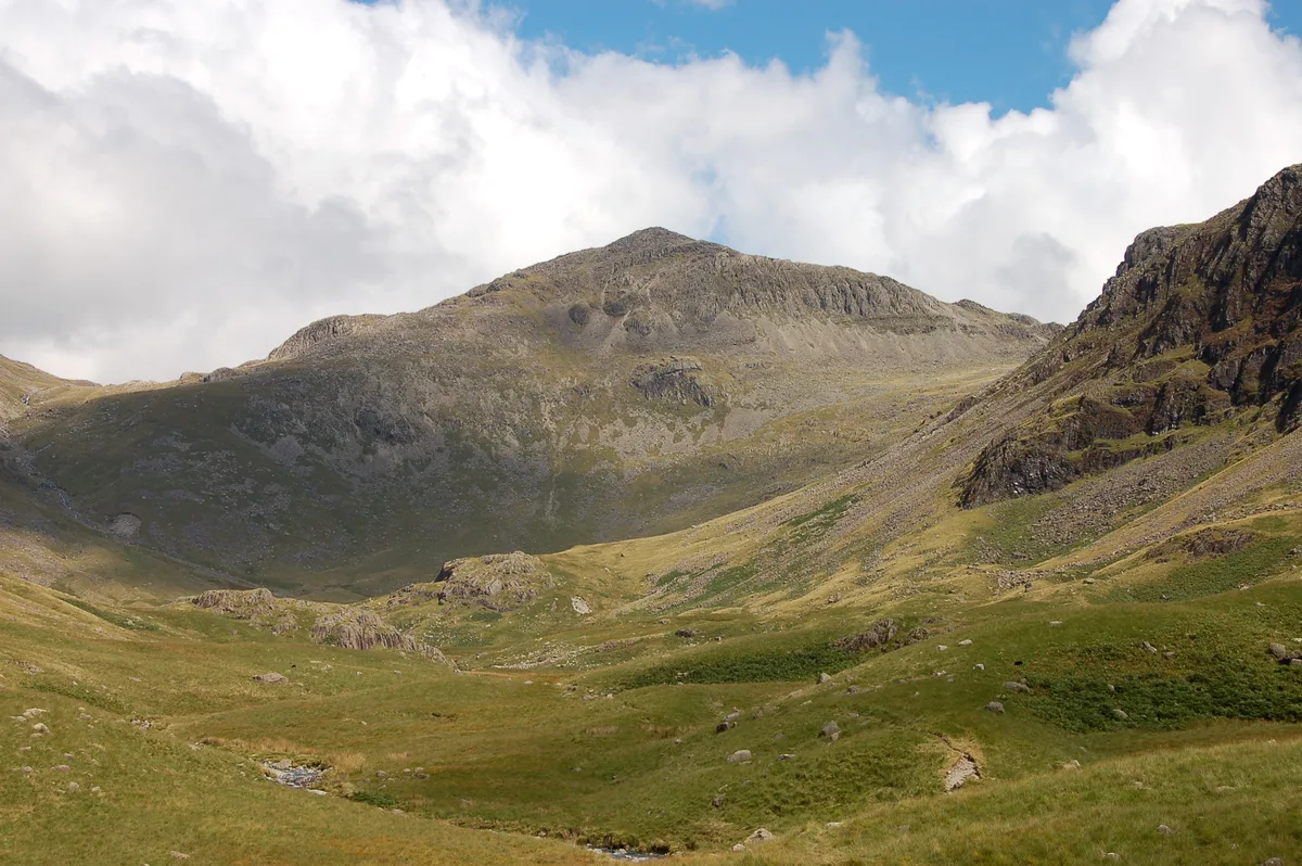
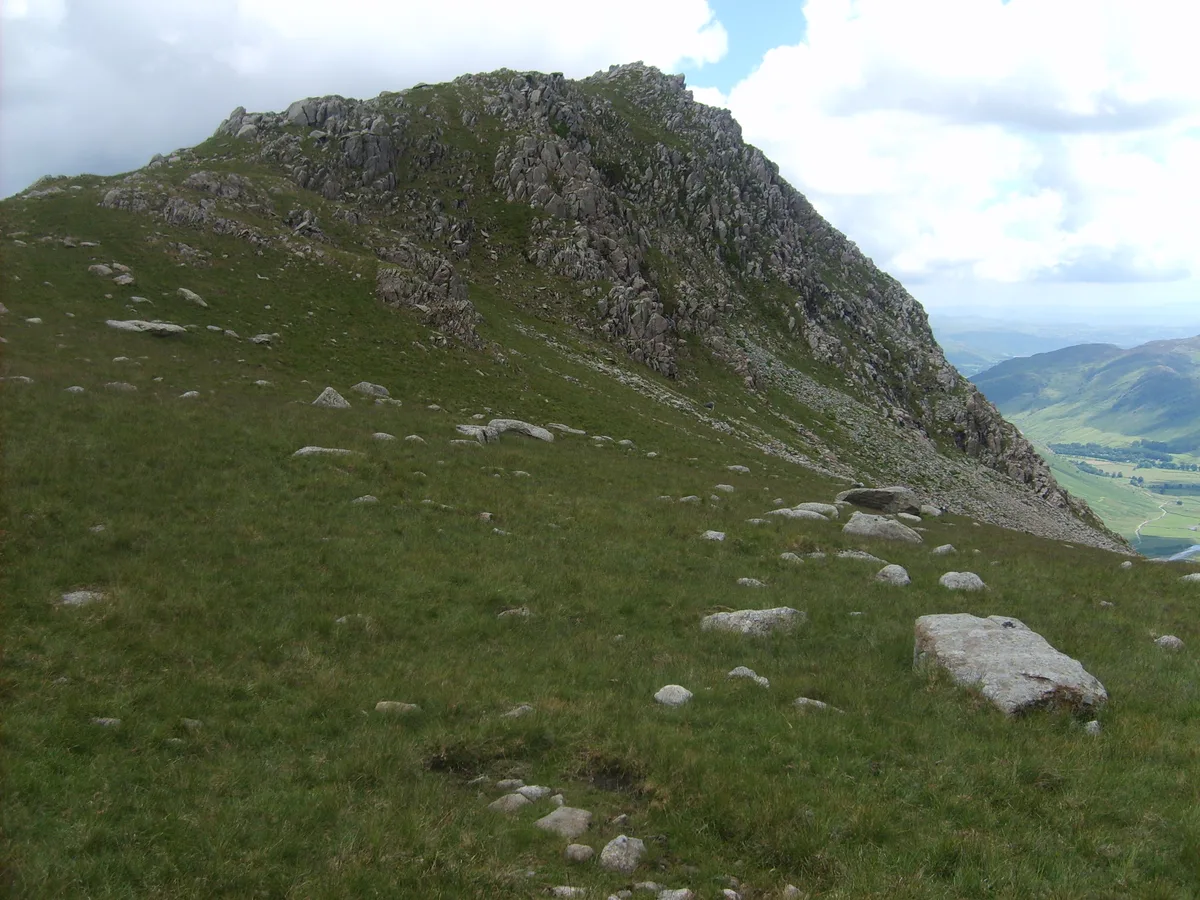
Bowfell
In or near Elterwater.
Bowfell — Named summit at 902.9 m.

Wikimedia Commons contributors — see linked file page for photographer and licence licence
Plan your visit
- Typical visit
- 3 h–8 h
- Best time of year
- Late spring – early autumn (May–Oct)
- Nearest railway station
- Dalegarth · 9.1 km
- Free entry
- Dog-friendly
About
Bowfell is a named summit in the United Kingdom. Wikidata describes it as: "Named summit at 902.9 m.". Coordinates: 54.4478°, -3.1662°.
Photo gallery
From the Wikipedia article
Bowfell (named Bow Fell on Ordnance Survey maps) is a pyramid-shaped mountain lying at the heart of the English Lake District, in the Southern Fells area. It is the eighth-highest mountain in the Lake District and one of the most popular of the Lake District fells for walkers. It is listed in Alfred Wainwright's 'best half dozen' Lake District fells.
Excerpt from Wikipedia under CC BY-SA 4.0. See the source article linked in Sources below.
- Coordinates
- 54.4478, -3.1662
- Address
- Cumbria, England
- Nearest railway station
- Dalegarth — 9.1 km
Sources
- osm: n5340666308 (ODbL)
- wikipedia: Bowfell (CC BY-SA 4.0)
- commons: Bow Fell from Lingcove.JPG (CC BY-SA 4.0)
Other places nearby
Bowfell
Natural landmarks · 0.1 km

Cambridge Crags
Climbing & bouldering crags · 0.1 km
Flat Crags
Climbing & bouldering crags · 0.2 km

Bowfell Buttress
Climbing & bouldering crags · 0.3 km

Bowfell North Top
Mountains & hills · 0.5 km

The Packwoman's Grave
Memorials & monuments · 1.0 km
Rossett Pike
Mountains & hills · 1.2 km
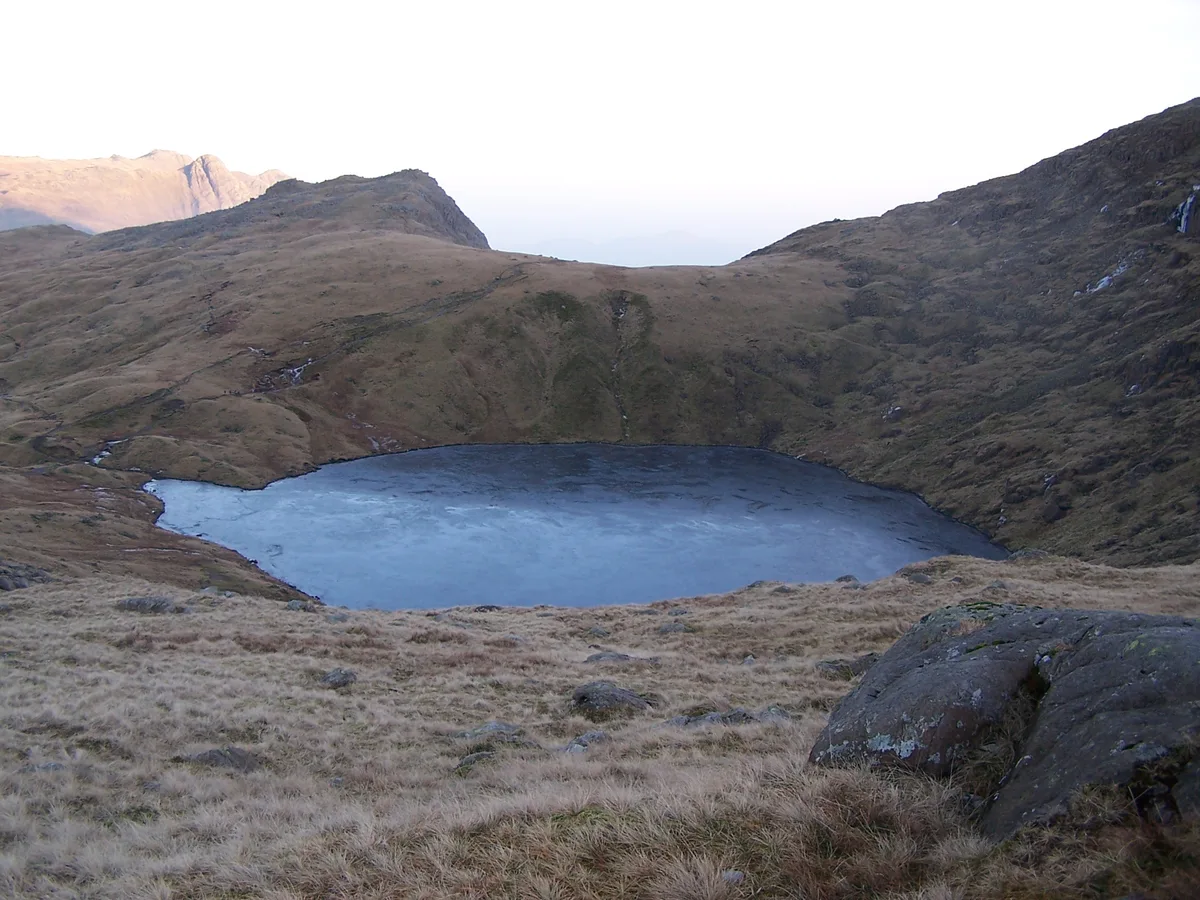
Angle Tarn
Natural landmarks · 1.2 km

Shelter Crags
Mountains & hills · 1.2 km

Rossett Pike
Natural landmarks · 1.2 km

Esk Pike
Natural landmarks · 1.3 km
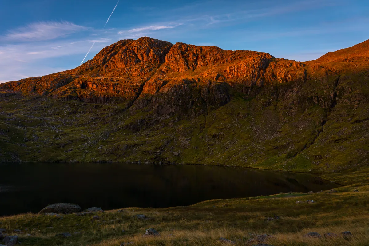
Esk Pike
Mountains & hills · 1.3 km
Nearby
📷 4📷 5Climbing & bouldering crags · North West England
Cambridge Crags
Cambridge Crags — a climbing crag in england north west.
📷 5Climbing & bouldering crags · North West England
Flat Crags
Flat Crags — a climbing crag in england north west.
📷 5Climbing & bouldering crags · North West England
Bowfell Buttress
Bowfell Buttress — a climbing crag in england north west.
📷 5Mountains & hills · North West England
Bowfell North Top
Bowfell North Top — mountain in england north west. Elevation: 866 m.
📷 3Memorials & monuments · North West England
The Packwoman's Grave
The Packwoman's Grave — a memorial in england-north-west, United Kingdom.
Where to eat & stay near Bowfell
Places to stay
 📷 5
📷 5Campsites · North West England
Great Langdale Campsite
Great Langdale Campsite — a campsite in england north west.
 📷 5
📷 5Caravan parks · North West England
Greenhowe Caravan Park
Greenhowe Caravan Park — a caravan park in england north west.
 📷 5
📷 5Campsites · North West England
Seathwaite Farm Campsite
Seathwaite Farm Campsite — a campsite in england north west.
 📷 5
📷 5Campsites · North West England
Wasdale Head Campsite
Wasdale Head Campsite — a campsite in england north west.
 📷 5
📷 5Campsites · North West England
Wasdale Campsite
Wasdale Campsite — a campsite in england north west.
 📷 5
📷 5Campsites · North West England
Seatoller Farm
Seatoller Farm — a campsite in england north east.
Places to eat & drink
 📷 7
📷 7Historic pubs · North West England
The Travellers Rest
The Travellers Rest in England North West, United Kingdom.
 📷 7
📷 7Cafés · North West England
Grange Bridge Cottage
Grange Bridge Cottage — a café in england north east.
 📷 5
📷 5Restaurants · North West England
The Terrace Coffee House and Restaurant
The Terrace Coffee House and Restaurant — a restaurant in england north west. Cuisine: sandwich;lunch.
 📷 7
📷 7Historic pubs · North West England
Church House Public House
Church House Public House in England North West, United Kingdom.
 📷 5
📷 5Historic pubs · North West England
Golden Rule Hotel
Golden Rule Hotel in England North West, United Kingdom.
 📷 5
📷 5Historic pubs · North West England
Sun Cottage Sun Inn Public House
Sun Cottage Sun Inn Public House in England North West, United Kingdom.
More mountains in this region
 📷 5
📷 5Mountains & hills · North West England
Appleton Park
Appleton Park — a hill or mountain in england west midlands.
 📷 5
📷 5Mountains & hills · North West England
High Warren
High Warren — mountain in england west midlands. Elevation: 105 m.
 📷 5
📷 5Mountains & hills · North West England
Alderley Edge
Alderley Edge — mountain in england west midlands. Elevation: 194 m.
 📷 3
📷 3Frequently asked questions
- Where is Bowfell?
- Bowfell is in North-West England, United Kingdom.
- What is Bowfell?
- Bowfell — Named summit at 902.9 m.
- How do I get to Bowfell?
- The nearest railway station is Dalegarth, about 9.1 km away. Its coordinates are 54.4478°, -3.1662°.
- Is Bowfell free to visit?
- Yes, Bowfell is free to enter.