Cemeteries · West Midlands
Botley Cemetery
Botley Cemetery is a cemetery in the United Kingdom.

Bill Nicholls — CC BY-SA 2.0 via Wikimedia Commons licence
Plan your visit
- Typical visit
- 30 min–1 h
- Nearest railway station
- Oxford · 1.7 km
- Free entry
- Dog-friendly
About
Botley Cemetery is a cemetery in Oxfordshire, the West Midlands of architectural and local-history note. It sits within the Oxford West and Abingdon parliamentary constituency. The nearest railway station is Oxford, about 1.7 km away. Postcode area OX2.
Photo gallery
From the Wikipedia article
Botley is the name of several places in the United Kingdom: Botley, Buckinghamshire Botley, Hampshire Botley, Oxfordshire
Excerpt from Wikipedia under CC BY-SA 4.0. See the source article linked in Sources below.
- Coordinates
- 51.7508, -1.2936
- County
- Oxfordshire
- District
- Vale of White Horse
- Parish
- Botley and North Hinksey
- Postcode
- OX2 0LX
- Parliamentary constituency
- Oxford West and Abingdon
- Nearest railway station
- Oxford — 1.7 km
Sources
Other places nearby
Loading nearby places…
Nearby
Memorials & monuments · West Midlands
The Cross of Sacrifice
The Cross of Sacrifice — a memorial in england-west-midlands, United Kingdom.
 📷 3
📷 3Historic houses · West Midlands
The Old Manor House
The Old Manor House — house in North Hinksey, Vale of White Horse, UK.
 📷 3
📷 3Parks · West Midlands
Raleigh Park, Oxfordshire
Raleigh Park, Oxfordshire — park in Oxfordshire, England.
 📷 5
📷 5Museums · West Midlands
Oxfordshire
Oxfordshire ( OKS-fərd-shər, -sheer; abbreviated Oxon) is a ceremonial county in South East England. The county is bordered by Northamptonshire and Warwickshire to the north, Buckinghamshire to the e
 📷 3
📷 3Country parks · West Midlands
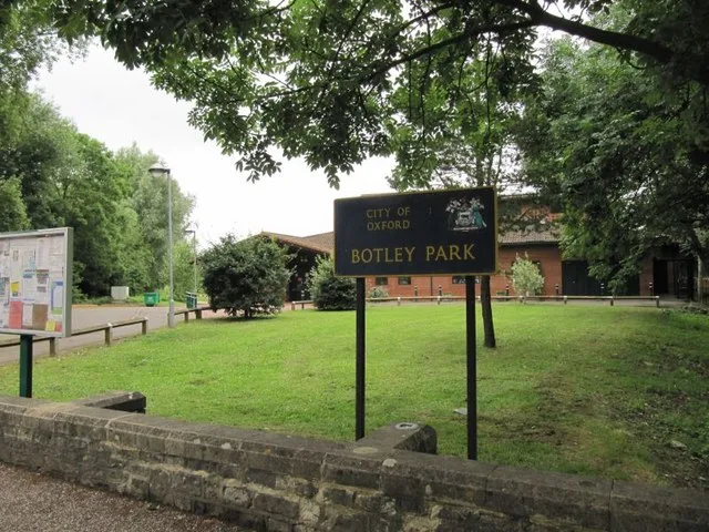
Botley Park
Botley Park — West Oxford public park.
 📷 4
📷 4Historic bridges · West Midlands
Seven Arches Bridge
Seven Arches Bridge — Grade II listed building-listed bridge in england-west-midlands, United Kingdom.
More cemeteries in this region
 📷 5
📷 5Cemeteries · West Midlands
All Saints Church
All Saints Church is a cemetery in the United Kingdom.
 📷 3
📷 3Cemeteries · West Midlands
Aylesbury Vale Burial Meadow
Aylesbury Vale Burial Meadow is a cemetery in the United Kingdom.
 📷 3
📷 3Cemeteries · West Midlands
Barnetts Lane Cemetery
Barnetts Lane Cemetery is a cemetery in the United Kingdom.
 📷 3
📷 3Cemeteries · West Midlands
Belgrave Cemetery
Belgrave Cemetery is a cemetery in the United Kingdom.
Frequently asked questions
- Where is Botley Cemetery?
- Botley Cemetery is in West Midlands, in the United Kingdom — coordinates 51.7508°, -1.2936°. The nearest railway station is Oxford, around 1.7 km away.
- Is Botley Cemetery free to visit?
- Yes — admission to Botley Cemetery is free.