
Wildlife reserves · East of England
Blakeney Point
In or near Blakeney.
Blakeney Point — National nature reserve on the north coast of Norfolk, England.

Wikimedia Commons contributors — see linked file page for photographer and licence licence

Plan your visit
- Typical visit
- 2 h–4 h
- Best time of year
- Autumn & winter (migration & wildfowl)
- Nearest railway station
- The Midden · 8.1 km
- Free entry
- Family-friendly
- Dog-friendly
- Limited wheelchair access
Getting there & planning your visit
To visit Blakeney Point, the nearest railway station is The Midden, located 8.1 km away. Entry to the wildlife reserve is free, but accessibility is limited for wheelchair users.
About
Blakeney Point is a wildlife reserve in the United Kingdom. Owned by National Trust. Managed by National Trust. Wikidata describes it as: "National nature reserve on the north coast of Norfolk, England". Coordinates: 52.9772°, 0.9778°.
Photo gallery
Summary from the official site
Blakeney Point is a natural reserve featuring a four-mile shingle ridge and dune system, known for its diverse wildlife, including England's largest grey seal colony. Visitors can enjoy scenic walks and observe various bird species, particularly during the breeding seasons.
Read more on the official property page.
Protected designations
- Site of Special Scientific Interest: North Norfolk Coast SSSI
- National Nature Reserve: HOLKHAM
- National Nature Reserve: BLAKENEY
- Area of Outstanding Natural Beauty: Norfolk Coast
Designations sourced from Natural England open data under OGL v3.
From the Wikipedia article
Blakeney Point (designated as Blakeney National Nature Reserve) is a national nature reserve situated near to the villages of Blakeney, Morston and Cley next the Sea on the north coast of Norfolk, England. Its main feature is a 6.4 km (4.0 mi) spit of shingle and sand dunes, but the reserve also includes salt marshes, tidal mudflats and reclaimed farmland. It has been managed by the National Trust since 1912, and lies within the North Norfolk Coast Site of Special Scientific Interest, which is additionally protected through Natura 2000, Special Protection Area (SPA), International Union for Conservation of Nature (IUCN) and Ramsar listings. The reserve is part of both an Area of Outstanding Natural Beauty (AONB), and a World Biosphere Reserve. The Point has been studied for more than a century, following pioneering ecological studies by botanist Francis Wall Oliver and a bird ringing programme initiated by ornithologist Emma Turner. The area has a long history of human occupation; ruins of a medieval monastery and "Blakeney Chapel" (probably a domestic dwelling) are buried in the marshes. The towns sheltered by the shingle spit were once important harbours, but land reclamation schemes starting in the 17th century resulted in the silting up of the river channels. The reserve is important for breeding birds, especially terns, and its location makes it a major site for migrating birds in autumn. Up to 500 seals may gather at the end of the spit, and its sand and shingle hold a number of specialised invertebrates and plants, including the edible samphire, or "sea asparagus". The many visitors who come to birdwatch, sail or for other outdoor recreations are important to the local economy, but the land-based activities jeopardize nesting birds and fragile habitats, especially the dunes. Some access restrictions on humans and dogs help to reduce the adverse effects, and trips to see the seals are usually undertaken by boat. The spit is a dynamic structure, gradually…
Excerpt from Wikipedia under CC BY-SA 4.0. See the source article linked in Sources below.
Background
Description
goes along the top of a portion of the sea wall. The salt marshes are on the left and farmland is on the right.]] Blakeney Point, like most of the northern part of the marshes in this area, is part of the parish of Cley next the Sea. The main spit runs roughly west to east, and joins the mainland at Cley Beach before continuing onwards as a coastal ridge to Weybourne. It is approximately 6.4 km long, 97 per cent of which is derived from flint. The Point was formed by longshore drift and this movement continues westward; the spit lengthened by 132.1 m between 1886 and 1925. Salt marshes have formed between the shingle curves and in front of the coasts sheltered by the spit, There is an area…
Sourced from Wikipedia under CC BY-SA 4.0.
- Coordinates
- 52.9772, 0.9778
- Address
- North Norfolk, Norfolk, England
- Nearest railway station
- The Midden — 8.1 km
- Opening
- Daily Dawn - Dusk; Lifeboat House 10am - 4pm
- Official site
- www.nationaltrust.org.uk
Sources
- wikidata: Q4924624 (CC0)
- wikipedia: Blakeney Point (CC BY-SA 4.0)
- commons: Blakeney point lifeboat station.jpg (CC BY-SA 4.0)
Other places nearby

Long Hills
Beaches · 0.6 km

Blakeney Harbour
Harbours & ports · 1.3 km

National Trust Lookout
Viewpoints · 2.2 km

Morston Hall
Hotels · 2.5 km

Morston
Villages · 2.6 km

Blakeney Harbour
Harbours & ports · 3.4 km

You’ve come a long way
Public art & sculpture · 3.4 km

Red House
Historic houses · 3.4 km

Blakeney Village Sign
Public art & sculpture · 3.5 km

Kings Arms Inn
Historic pubs · 3.5 km

Guildhall
Archaeological sites · 3.6 km

Blakeney Mariners Hill
Castles · 3.6 km
Nearby
📷 3📷 5Harbours & ports · East of England
Blakeney Harbour
Blakeney Harbour — a harbour in england east midlands.
📷 3Viewpoints · East of England
National Trust Lookout
National Trust Lookout is a viewpoint in the United Kingdom.
📷 5Hotels · East of England
Morston Hall
Morston Hall — a hotel in england east midlands.
📷 5📷 3Harbours & ports · East of England
Blakeney Harbour
Blakeney Harbour — harbour at Blakeney, Norfolk, England, UK.
Where to eat & stay near Blakeney Point
Places to stay
📷 5Hotels · East of England
Morston Hall
Morston Hall — a hotel in england east midlands.
 📷 5
📷 5 📷 2
📷 2 📷 5
📷 5Caravan parks · East of England
Friary Farm Caravan Park
Friary Farm Caravan Park — a caravan park in england east midlands.
 📷 2
📷 2 📷 5
📷 5Caravan parks · East of England
High Sands Creek
High Sands Creek — a caravan park in england east midlands.
Places to eat & drink
📷 5 📷 5
📷 5Historic pubs · East of England
White Horse Public House
White Horse Public House in England East, United Kingdom.
 📷 5
📷 5 📷 5
📷 5 📷 5
📷 5Historic pubs · East of England
Oxford Stores Public House
Oxford Stores Public House in England East, United Kingdom.
 📷 5
📷 5Historic pubs · East of England
White Horse Public House And Adjoining Cottage
White Horse Public House And Adjoining Cottage in England East, United Kingdom.
More places run by National Trust
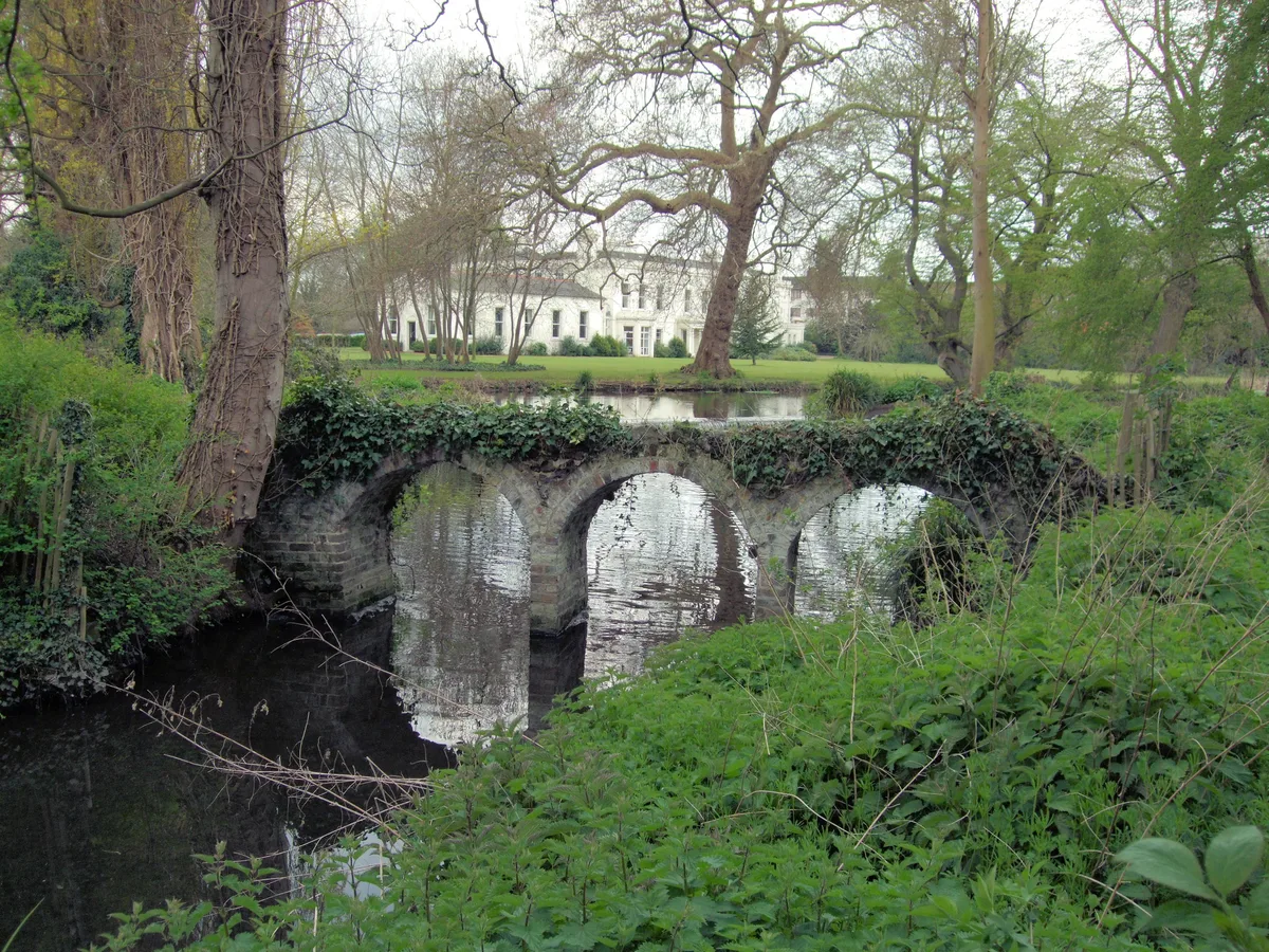 Flagship📷 10
Parks · London
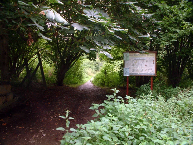
Morden Hall Park
Morden Hall Park — park in Morden, London.
 Flagship📷 10
 📷 5
📷 5Gardens · London
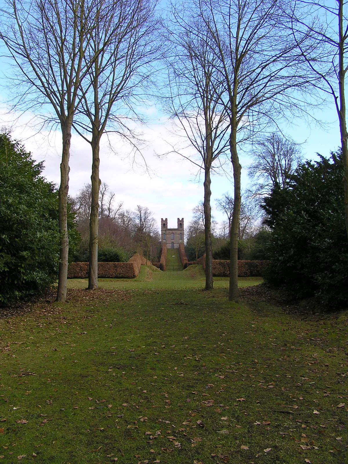
Claremont Landscape Garden
Claremont Landscape Garden — historic garden in Surrey, England, UK.
 📷 5
📷 5Stately homes · London
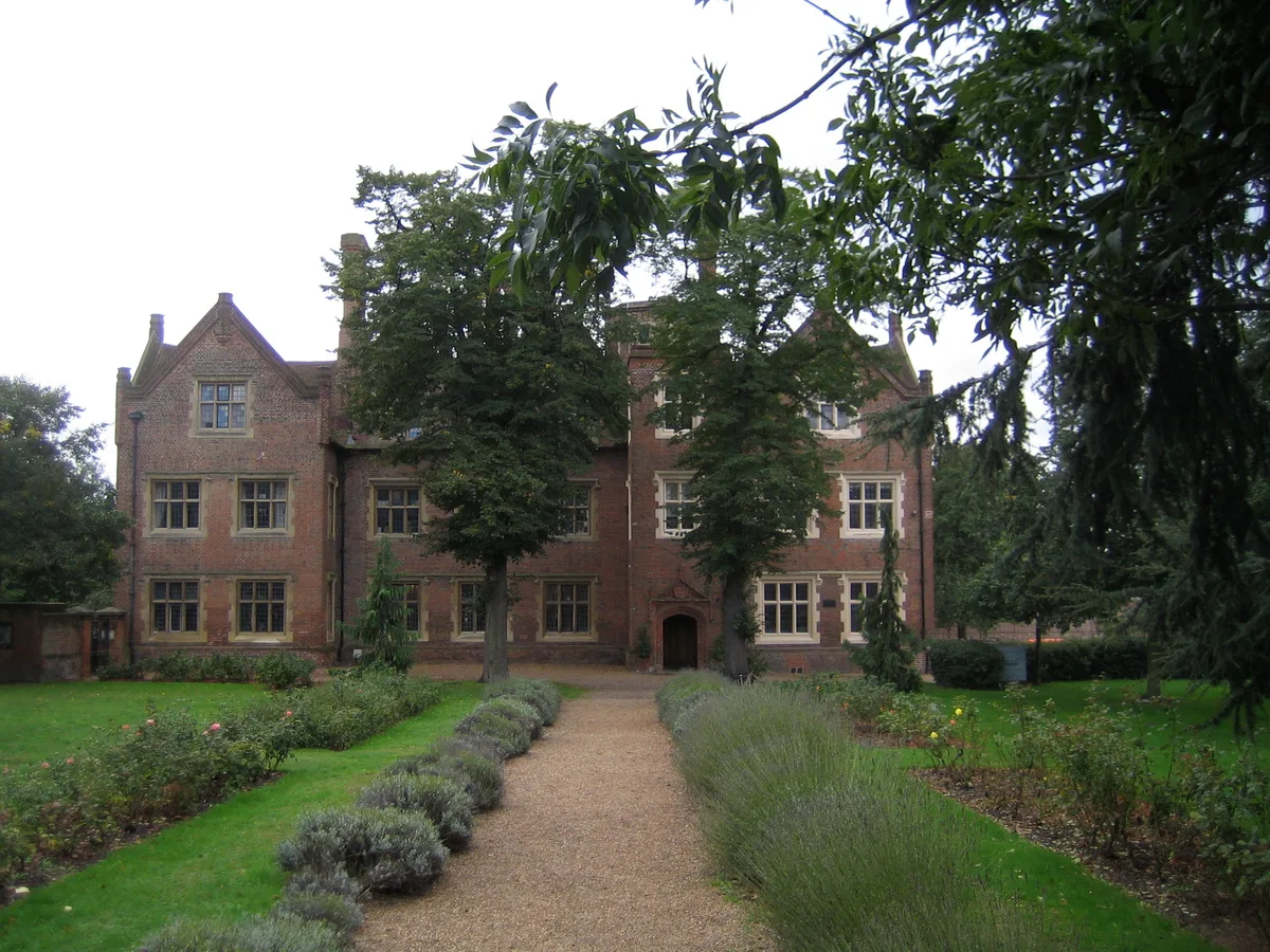
Eastbury Manor House
Eastbury Manor House — Grade I listed historic house museum in London Borough of Barking and Dagenham, United Kingdom.
More places in this region
 Flagship📷 10
Wildlife reserves · East of England
Amwell Quarry
Amwell Quarry — nature reserve in United Kingdom.
 Flagship📷 10
Wildlife reserves · East of England
Aubrey Buxton Nature Reserve
Aubrey Buxton Nature Reserve — Essex Wildlife Trust Nature reserve.
 Flagship📷 10
Wildlife reserves · East of England
Canvey Wick
Canvey Wick — nature reserve in Essex, United Kingdom.
 Flagship📷 10
Wildlife reserves · East of England
Crowsheath Wood
Crowsheath Wood — Essex Wildlife Trust Nature reserve.
Frequently asked questions
- Where is Blakeney Point?
- Blakeney Point is in the East Midlands, United Kingdom.
- What is Blakeney Point?
- Blakeney Point — National nature reserve on the north coast of Norfolk, England.
- How do I get to Blakeney Point?
- The nearest railway station is The Midden, about 8.1 km away. Its coordinates are 52.9772°, 0.9778°.
- Who runs Blakeney Point?
- Blakeney Point is operated by National Trust.
- Is Blakeney Point a protected site?
- Yes — Blakeney Point is part of the North Norfolk Coast SSSI Site of Special Scientific Interest and the HOLKHAM National Nature Reserve.
- Is Blakeney Point free to visit?
- Yes, Blakeney Point is free to enter.
- Are dogs allowed at Blakeney Point?
- Most wildlife reserves allow dogs on lead only, with restrictions during ground-nesting bird season (March-July). Check signage at the reserve.