Reservoirs & lochs · Mid Wales
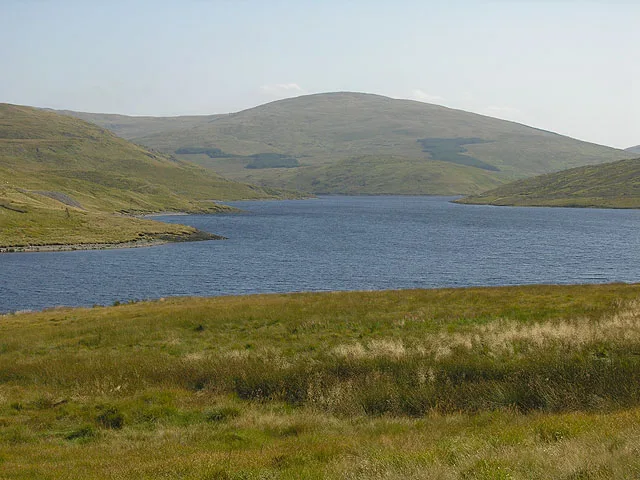
Blaenrheidol
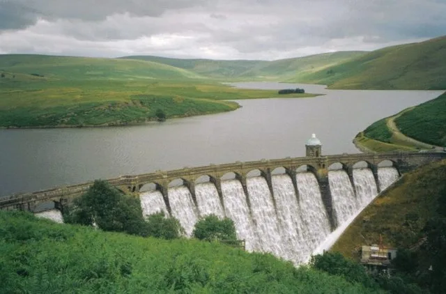
Blaenrheidol in Wales Mid, United Kingdom.

OLU — CC BY-SA 2.0 via Wikimedia Commons licence
Plan your visit
- Typical visit
- 1 h–2.5 h
- Nearest railway station
- Rhiwfron · 7.2 km
- Free entry
- Dog-friendly
Getting there & planning your visit
To visit Blaenrheidol, the nearest railway station is Rhiwfron, located 7.2 km away. The postcode for navigation is SY23 3AG. Entry to the reservoir is free.
About
Blaenrheidol is a place of interest in Wales Mid, United Kingdom — drawn from open-data sources for visitor reference. See the linked Wikipedia article for the full description.
Photo gallery
From the Wikipedia article
Blaenrheidol is a community in the county of Ceredigion, North Wales. It lies in the Cambrian Mountains of Mid Wales, approximately 12 miles (19 km) east of Aberystwyth on the A44 road, and includes Pumlumon. It includes the settlements of Ponterwyd, Ystumtuen and Llywernog. As the name suggests, a large section of the Afon Rheidol is in the community as well as the large man-made reservoir of Nant-y-moch.
Excerpt from Wikipedia under CC BY-SA 4.0. See the source article linked in Sources below.
- Coordinates
- 52.4404, -3.8167
- District
- Ceredigion
- Parish
- Blaenrheidol
- Postcode
- SY23 3AG
- Parliamentary constituency
- Ceredigion Preseli
- Nearest railway station
- Rhiwfron — 7.2 km
- Official site
- www.neighbourhood.statistics.gov.uk
Sources
- wikidata: Q15651371 (CC0)
- wikipedia: Blaenrheidol (CC BY-SA 4.0)
Other places nearby

Drybedd
Mountains & hills · 0.9 km

Stone Circle and Round Cairns, Hirnant
Stone circles · 1.3 km

Y Garn
Natural landmarks · 1.5 km
Y Garn
Mountains & hills · 1.5 km

Drum Peithnant
Mountains & hills · 1.5 km

Bryn Glas
Mountains & hills · 1.6 km

Eisteddfa Gurig
Mountain passes · 2.4 km

Dinas
Mountains & hills · 2.4 km

Dinas Camp
Archaeological sites · 2.4 km
Dinas SW of Aber-Peithnant
Vineyards · 2.4 km
Dinas
Mountains & hills · 2.5 km
Dinas, Melindwr
Vineyards · 2.5 km
Nearby
📷 3📷 3Stone circles · Mid Wales
Stone Circle and Round Cairns, Hirnant
Stone Circle and Round Cairns, Hirnant — a stone circle in wales-mid, United Kingdom.
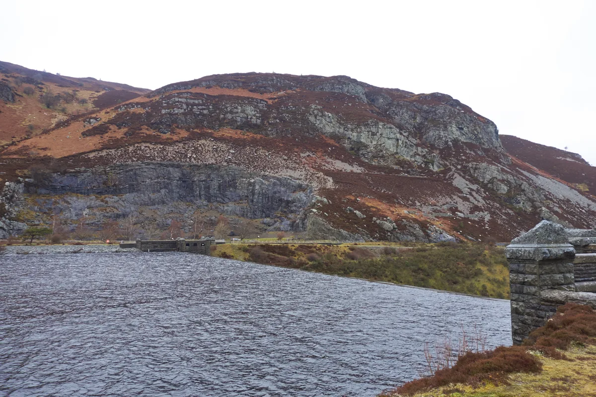
📷 3📷 3📷 5📷 5Where to eat & stay near Blaenrheidol
Places to stay
 📷 7
📷 7Hotels · Mid Wales
George Borrow Hotel
George Borrow Hotel — a hotel in wales mid.
 📷 5
📷 5 📷 5
📷 5Caravan parks · Mid Wales
Tynyffordd Fach Caravan Park
Tynyffordd Fach Caravan Park — a caravan park in wales mid.
 📷 5
📷 5Caravan parks · Mid Wales
Erwbarfe Farm Caravan Park
Erwbarfe Farm Caravan Park — a caravan park in wales mid.
 📷 5
📷 5Campsites · Mid Wales
Woodlands Touring Park
Woodlands Touring Park — a campsite in wales mid.
 📷 5
📷 5Caravan parks · Mid Wales
Woodlands Caravan Park Devils Bridge
Woodlands Caravan Park Devils Bridge — a caravan park in wales mid.
Places to eat & drink
 📷 5
📷 5Cafés · Mid Wales
Llywernog Silver Lead Mine
Llywernog Silver Lead Mine — a café in wales mid.
 📷 7
📷 7 📷 5
📷 5Restaurants · Mid Wales
The White Lion Hotel
The White Lion Hotel — a restaurant in wales mid.
 📷 5
📷 5 📷 6
📷 6More places in this region
 📷 3
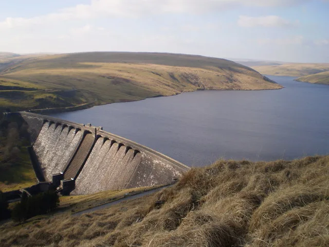
📷 3Reservoirs & lochs · Mid Wales
Caban-côch Reservoir
Caban-côch Reservoir — reservoir in Powys, Wales, UK.
 📷 3
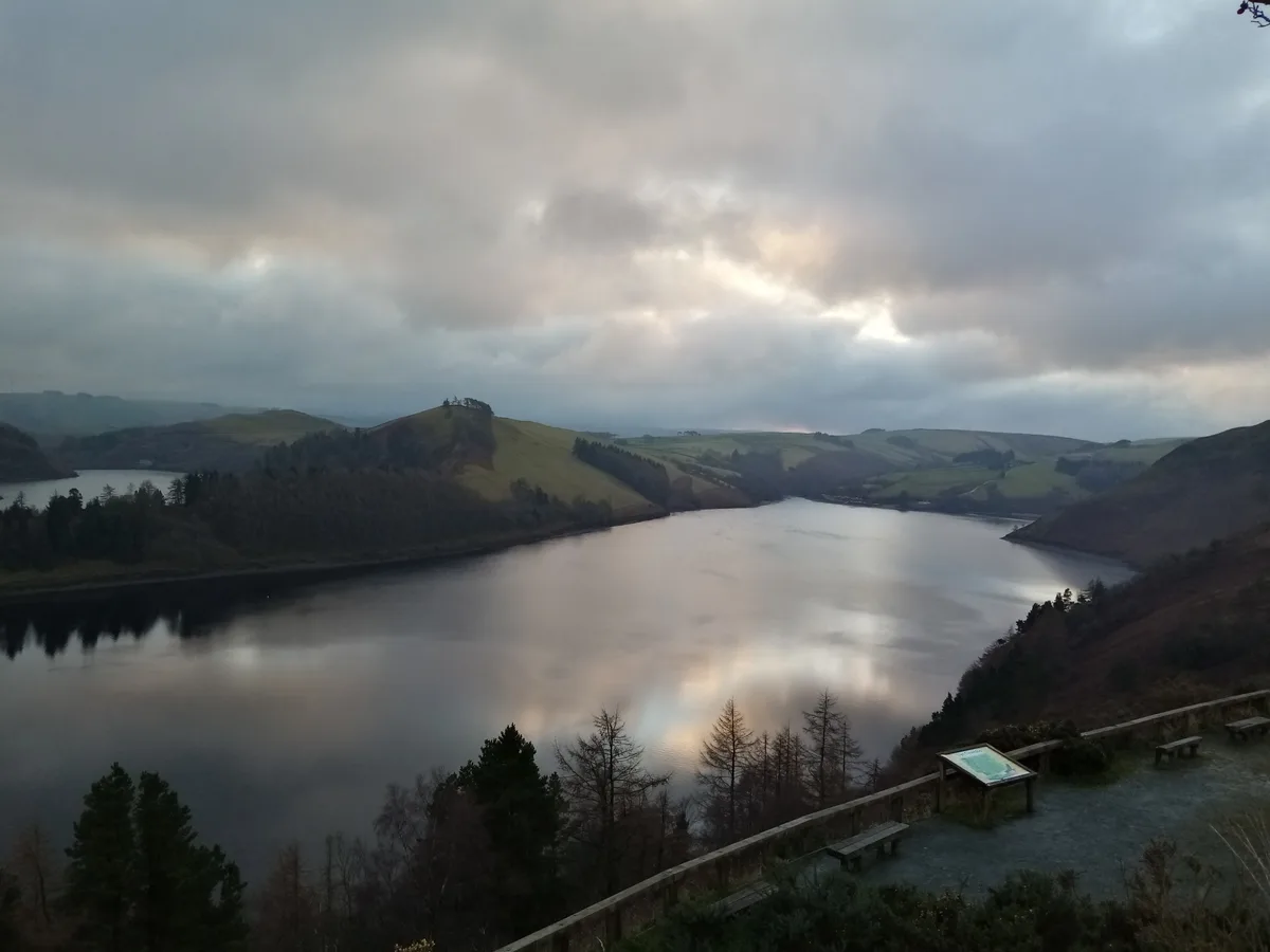
📷 3Reservoirs & lochs · Mid Wales
Claerwen Reservoir
Claerwen Reservoir — reservoir in Powys, Wales.
 📷 5
📷 5Reservoirs & lochs · Mid Wales
Clywedog Reservoir
Clywedog Reservoir — reservoir in Powys, Wales, UK.
 📷 3
📷 3Reservoirs & lochs · Mid Wales
Craig Goch Reservoir
Craig Goch Reservoir — reservoir near Rhayader, Powys, Wales, UK.
Frequently asked questions
- Where is Blaenrheidol?
- Blaenrheidol is in Mid Wales, United Kingdom (postcode SY23 3AG), in the parish of Blaenrheidol.
- What is Blaenrheidol?
- Blaenrheidol in Wales Mid, United Kingdom.
- How do I get to Blaenrheidol?
- The nearest railway station is Rhiwfron, about 7.2 km away. Drivers can use postcode SY23 3AG.
- Is Blaenrheidol free to visit?
- Yes, Blaenrheidol is free to enter.
- How do I get to Blaenrheidol?
- The nearest railway station is Rhiwfron, about 7.2 km away. Drivers can navigate to postcode SY23 3AG.