
Museums · South East England
Bishop's Waltham
In or near Upham.
Bishop's Waltham (or Bishops Waltham) is a medieval market town situated at the source of the River Hamble in Hampshire, England. It has a foot in the South Downs National Park and is located at the m

Michael FORD — CC BY-SA 2.0 via Wikimedia Commons licence

Plan your visit
- Typical visit
- 1.5 h–3 h
- Best time of year
- Year-round
- Nearest railway station
- Botley · 5.3 km
- Free entry
- Family-friendly
- Limited wheelchair access
Getting there & planning your visit
To visit Bishop's Waltham, the nearest railway station is Botley, located 5.3 km away. Entry to the museum is free, but wheelchair accessibility is limited. The postcode for sat-nav is SO32 1AJ.
About
Bishop's Waltham (or Bishops Waltham) is a medieval market town situated at the source of the River Hamble in Hampshire, England. It has a foot in the South Downs National Park and is located at the midpoint of a long-established route between Winchester and Portsmouth. It is home to the ruins of Bishop's Waltham Palace, a Scheduled Ancient Monument under English Heritage management, and a well-preserved high street with many listed buildings which now house independent shops. Bishop's Waltham's long history includes a roll call of Medieval and Tudor kings and queens who visited the town to stay at the palace. The name of the town is derived from the Anglo-Saxon words: "wald" (forest) and "ham" (settlement). Modern day Bishop's Waltham has a population of over 6,723 and is the largest settlement in the Winchester district outside the city itself. It is home to an infant and junior school.
Photo gallery
Summary from the official site
Bishop's Waltham Palace is a historic site in Hampshire that served as a grand residence for the Bishops of Winchester. Visitors can explore the remains of 12th- and 14th-century buildings, including a three-storey tower and the great hall, all set within attractive grounds.
Read more on the official property page.
Protected designations
- Site of Special Scientific Interest: River Itchen - 2000227 SSSI
Designations sourced from Natural England open data under OGL v3.
From the Wikipedia article
Bishop's Waltham (or Bishops Waltham) is a medieval market town situated at the source of the River Hamble in Hampshire, England. It has a foot in the South Downs National Park and is located at the midpoint of a long-established route between Winchester and Portsmouth. It is home to the ruins of Bishop's Waltham Palace, a Scheduled Ancient Monument under English Heritage management, and a well-preserved high street with many listed buildings which now house independent shops. Bishop's Waltham's long history includes a roll call of Medieval and Tudor kings and queens who visited the town to stay at the palace. The name of the town is derived from the Anglo-Saxon words: "wald" (forest) and "ham" (settlement). Modern day Bishop's Waltham has a population of over 6,723 and is the largest settlement in the Winchester district outside the city itself. It is home to an infant and junior school.
Excerpt from Wikipedia under CC BY-SA 4.0. See the source article linked in Sources below.
Background
History
The town's name comprises three parts 'walt' – forest; 'ham' – settlement'; and 'Bishop's'. It started off as a very early Anglo-Saxon settlement between 450 and 550 AD, and steadily grew to become one of Hampshire's largest villages, despite being burnt to the ground by Danes in 1001 AD. By the time of the Domesday Book (1086), it had a population of around 600 living in 115 households - at the time, the 11th largest settlement in Hampshire. In 904, King Edward the Elder (King Alfred's son) exchanged it with Denewulf, Bishop of Winchester, for the Bishop's estate at Portchester. In 1136 Henry de Blois, a later bishop, built a new church and in 1158 started the now-ruined Bishop's Waltham…
Description
The Moors, Bishop's Waltham is a Site of Special Scientific Interest. It is a nationally significant tract of alkaline wetland and open waters located south of the Chalk outcrop in southern Hampshire at the head of River Hamble displaying a good diversity of habitat types, plant and animal communities and rare species. As a result, not only is the majority of the site designated as a Site of Special Scientific Interest (SSSI) under the UK Wildlife and Countryside Act, but also as a Nature Conservation Review (NCR) site, in recognition of its special national interest. The land comprises some mainly of hydrologically sensitive fen, fen meadow and wet woodland dissected by a series of south…
Sourced from Wikipedia under CC BY-SA 4.0.
- Coordinates
- 50.9536, -1.2118
- County
- Hampshire
- District
- Winchester
- Parish
- Bishops Waltham
- Postcode
- SO32 1AJ
- Parliamentary constituency
- Winchester
- Nearest railway station
- Botley — 5.3 km
- Opening
- Daily 10am–5pm; closed 24–26 Dec
- Official site
- www.english-heritage.org.uk
Sources
- wikipedia: Bishop's Waltham (CC BY-SA 4.0)
Other places nearby

The Crown Hotel
Historic pubs · 0.1 km

Bishop's Waltham Museum
Museums · 0.2 km

The Mafeking Hero Public House
Historic pubs · 0.2 km
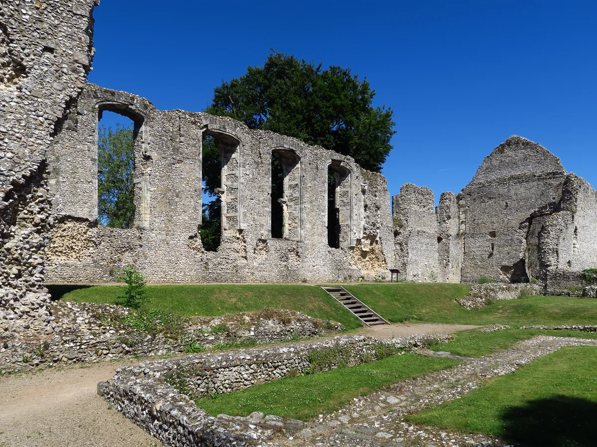
Bishop's Waltham Palace
Palaces · 0.3 km

Bishops Waltham Branch LNR
Wildlife reserves · 0.9 km

The Moors
Forests & woodlands · 0.9 km

Clewers Hill
Mountains & hills · 2.3 km
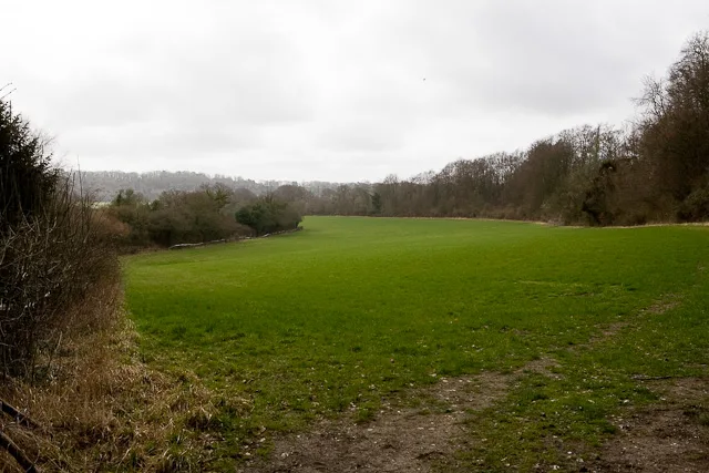
Galley Down Wood
Archaeological sites · 2.3 km

Galley Down
Mountains & hills · 2.3 km
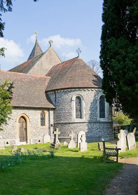
Church of St Barnabas
Historic churches · 2.4 km

Swanmore War Memorial
Memorials & monuments · 2.4 km

Swanmore
Villages · 2.5 km
Nearby
📷 7Historic pubs · South East England
The Crown Hotel
The Crown Hotel in England South East, United Kingdom.
📷 5Museums · South East England
Bishop's Waltham Museum
Bishop's Waltham Museum — a museum in england-south-east, United Kingdom.
📷 7Historic pubs · South East England
The Mafeking Hero Public House
The Mafeking Hero Public House in England South East, United Kingdom.
📷 5Palaces · South East England
Bishop's Waltham Palace
Bishop's Waltham Palace — palace ruins in England.
📷 5Wildlife reserves · South East England
Bishops Waltham Branch LNR
Bishops Waltham Branch LNR is a wildlife reserve in the United Kingdom.
📷 5Forests & woodlands · South East England
The Moors
The Moors is a forest or woodland in the United Kingdom.
Where to eat & stay near Bishop's Waltham
Places to stay
 📷 5
📷 5 📷 5
📷 5 📷 5
📷 5Hotels · South East England
Macdonald Botley Park Hotel & Spa
Macdonald Botley Park Hotel & Spa — a hotel in england south east.
📷 5Hotels · South East England
Macdonald Botley Park Hotel & Spa
Macdonald Botley Park Hotel & Spa — a hotel in england south east.
 📷 5
📷 5Campsites · South East England
YMCA Fairthorne Manor
YMCA Fairthorne Manor — a campsite in england south east.
 📷 5
📷 5Caravan parks · South East England
Rookesbury Park
Rookesbury Park — a caravan park in england south east.
Places to eat & drink
📷 7Historic pubs · South East England
The Crown Hotel
The Crown Hotel in England South East, United Kingdom.
📷 7Historic pubs · South East England
The Mafeking Hero Public House
The Mafeking Hero Public House in England South East, United Kingdom.
 📷 5
📷 5Historic pubs · South East England
Brushmakers Arms
Brushmakers Arms in England South East, United Kingdom.
📷 5Historic pubs · South East England
New Place, Shirrell Heath
New Place, Shirrell Heath in England South East, United Kingdom.
 📷 7
📷 7Historic pubs · South East England
The Bakers Arms
The Bakers Arms in England South East, United Kingdom.
 📷 7
📷 7More museums in this region
 📷 5
📷 5Museums · South East England
Coldrum Long Barrow
Coldrum Long Barrow — neolithic chambered long barrow near Trottiscliffe, Kent, England, UK.
 📷 5
📷 5Museums · South East England
Guildford House
Guildford House — house in Guildford, Surrey, England, UK.
 📷 5
📷 5Museums · South East England
Huguenot Museum
Huguenot Museum — museum in Rochester, England, UK.
 📷 5
📷 5Museums · South East England
Medway megaliths
Medway megaliths — group of long barrows in Kent, England.
Frequently asked questions
- Where is Bishop's Waltham?
- Bishop's Waltham is in Hampshire, South-East England, United Kingdom (postcode SO32 1AJ), in the parish of Bishops Waltham.
- What is Bishop's Waltham?
- Bishop's Waltham (or Bishops Waltham) is a medieval market town situated at the source of the River Hamble in Hampshire, England. It has a foot in the South Downs National Park and is located at the m
- How do I get to Bishop's Waltham?
- The nearest railway station is Botley, about 5.3 km away. Drivers can use postcode SO32 1AJ.
- Is Bishop's Waltham a protected site?
- Yes — Bishop's Waltham is part of the River Itchen - 2000227 SSSI Site of Special Scientific Interest.
- Is Bishop's Waltham free to visit?
- Yes, Bishop's Waltham is free to enter.
- How do I get to Bishop's Waltham?
- The nearest railway station is Botley, about 5.3 km away. Drivers can navigate to postcode SO32 1AJ.