
Natural landmarks · Central Scotland
Binnein an Fhidhleir
In or near Cairndow.
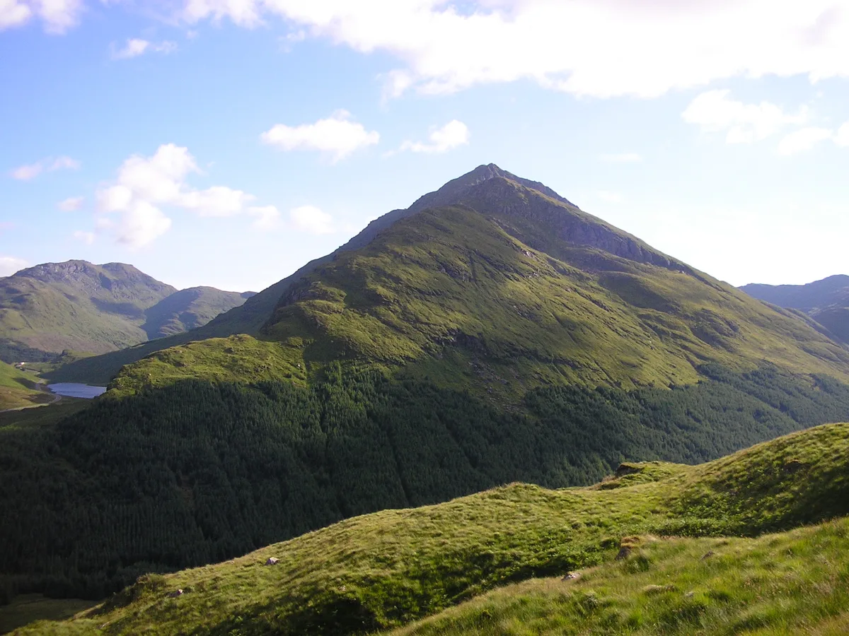
Binnein an Fhidhleir — mountain in Argyll and Bute, Scotland, UK.

Wikimedia Commons contributors — see linked file page for photographer and licence licence

Plan your visit
- Typical visit
- 1 h–2 h
- Nearest railway station
- Ardlui · 9.8 km
- Free entry
- Dog-friendly
Getting there & planning your visit
To visit Binnein an Fhidhleir, the nearest railway station is Ardlui, which is approximately 9.8 km away. Entry to the site is free. Please note that there are no specific postcode or sat-nav coordinates provided for direct navigation.
About
Binnein an Fhidhleir is a named natural landmark in the United Kingdom. Part of Arrochar Alps. Wikidata describes it as: "mountain in Argyll and Bute, Scotland, UK". Coordinates: 56.2575°, -4.8590°.
Photo gallery
Official information
Binnein an Fhidleir is a mountain located in the Scottish Highlands, known for its steep southern slopes and craggy tops. It offers various ascent routes and stunning views of the surrounding landscape, making it a popular destination for hikers.
From the Wikipedia article
Binnein an Fhidhleir, is one of the Arrochar Alps, a mountain in Argyll and Bute, western Scotland. Located in the Loch Lomond and The Trossachs National Park. Located above the Butter Bridge, on the north side the A83 road, facing Beinn an Lochain to the south. The mountain has several tops, including; Creag Bhrosgan 770.3 metres (2,527 ft); Stob Coire Creagach, which replaced Binnein an Fhidhleir as the Marilyn in April 2006, at 817 metres (2,680 ft). Later 817.8 metres (2,683 ft) in August 2021. One without any name at all at 748 metres (2,454 ft). Binnein an Fhidhleir itself, further to the west at 811 metres (2,661 ft). Although Stob Coire Creagach is the highest summit, the name Binnein an Fhidhleir is generally used for the whole mountain. The shortest route of ascent is directly up the hillside above Butter Bridge, where there is a carpark. A number of small crags must be avoided, and the route is steep and unrelenting. Alternatively, the mountain can be ascended from further up Glen Kinglas by way of Binnein an Fhidhleir's northern ridge: although longer this route is considerably less steep.
Excerpt from Wikipedia under CC BY-SA 4.0. See the source article linked in Sources below.
- Coordinates
- 56.2575, -4.8590
- Address
- Argyll and Bute, Scotland
- Nearest railway station
- Ardlui — 9.8 km
- Official site
- www.munromagic.com
Sources
- wikidata: Q41212 (CC0)
- wikipedia: Binnein an Fhidhleir (CC BY-SA 4.0)
- commons: Binnein an Fhidhleir mountain.jpg (CC BY-SA 4.0)
Other places nearby

Stob Coire Creagach
Mountains & hills · 0.0 km

Creag Bhrosgan
Mountains & hills · 0.7 km

Butter Bridge
Historic bridges · 1.4 km
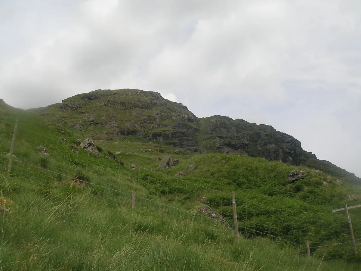
Binnein an Fhidhleir
Mountains & hills · 1.6 km

Glen Kinglas
Castles · 1.8 km

Easain Duibh
Waterfalls · 2.1 km

Meall Beag
Mountains & hills · 2.1 km
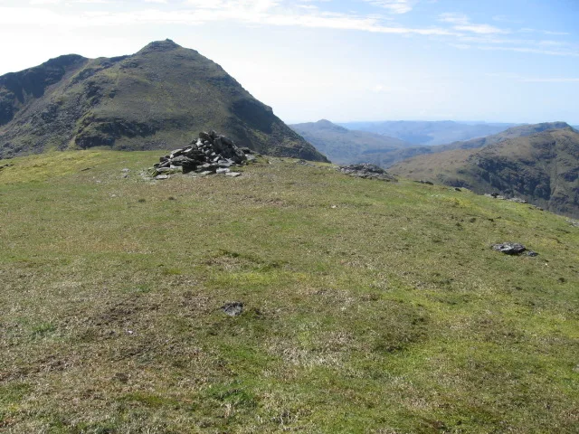
Beinn Chorranach
Mountains & hills · 2.8 km
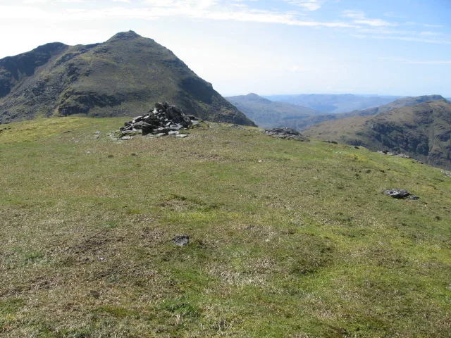
Beinn Chorranach
Natural landmarks · 2.8 km

Loch Restil
National parks · 2.9 km
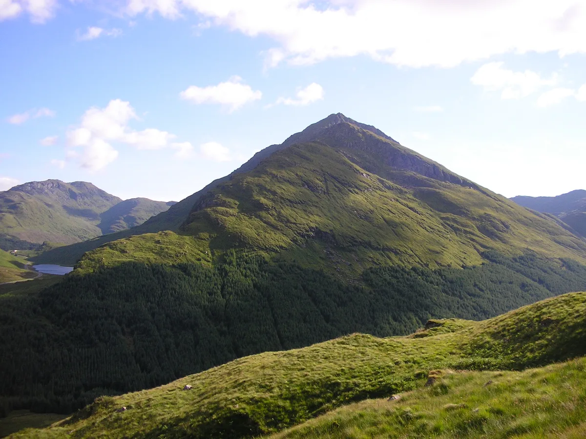
Beinn an Lochain
Mountains & hills · 3.1 km
Beinn an Lochain
Natural landmarks · 3.2 km
Nearby
📷 3Mountains & hills · Central Scotland
Stob Coire Creagach
Stob Coire Creagach — a mountain in scotland-highlands, United Kingdom.
📷 5Mountains & hills · Central Scotland
Creag Bhrosgan
Creag Bhrosgan — mountain in scotland highlands. Elevation: 771 m.
📷 5Historic bridges · Central Scotland
Butter Bridge
Butter Bridge — category B listed building-listed bridge in scotland-highlands, United Kingdom.
📷 3Mountains & hills · Central Scotland
Binnein an Fhidhleir
Binnein an Fhidhleir — Named summit at 811 m.
📷 5Castles · Central Scotland
Glen Kinglas
Glen Kinglas in Scotland Islands, United Kingdom.
📷 5Where to eat & stay near Binnein an Fhidhleir
Places to stay
 📷 5
📷 5Caravan parks · Central Scotland
Honeymoon Bridge
Honeymoon Bridge — a caravan park in scotland highlands.
 📷 5
📷 5Caravan parks · Central Scotland
Stay the Night Ardgartan
Stay the Night Ardgartan — a caravan park in scotland highlands.
 📷 5
📷 5Campsites · Central Scotland
MacTavish Campsite
MacTavish Campsite — a campsite in scotland highlands.
 📷 5
📷 5Campsites · Central Scotland
Inveruglas camping permit area March-September
Inveruglas camping permit area March-September — a campsite in scotland highlands.
 📷 5
📷 5 📷 5
📷 5Campsites · Central Scotland
Lochgoilhead Scout Camp
Lochgoilhead Scout Camp — a campsite in scotland highlands.
Places to eat & drink
 📷 5
📷 5Historic pubs · Central Scotland
The Drovers Inn
The Drovers Inn — Historic pub — listed building or notable heritage status.
 📷 3
📷 3Historic pubs · Central Scotland
Ardbrecknish House
Ardbrecknish House — Historic pub — listed building or notable heritage status.
More natural landmarks in this region
 📷 4
📷 4Natural landmarks · Central Scotland
Blackadder Water
Blackadder Water in England North East, United Kingdom.
 📷 3
📷 3Natural landmarks · Central Scotland
A6105 road
A6105 road in England North East, United Kingdom.
 📷 3
📷 3 📷 3
📷 3Frequently asked questions
- Where is Binnein an Fhidhleir?
- Binnein an Fhidhleir is in the Scottish Highlands, United Kingdom.
- What is Binnein an Fhidhleir?
- Binnein an Fhidhleir — mountain in Argyll and Bute, Scotland, UK.
- How do I get to Binnein an Fhidhleir?
- The nearest railway station is Ardlui, about 9.8 km away. Its coordinates are 56.2575°, -4.8590°.
- Is Binnein an Fhidhleir free to visit?
- Yes, Binnein an Fhidhleir is free to enter.