Mountains & hills · South East England
Bembridge Down
Bembridge Down — Named summit at 100 m.

Wikimedia Commons contributors — see linked file page for photographer and licence licence
Plan your visit
- Typical visit
- 3 h–8 h
- Best time of year
- Late spring – early autumn (May–Oct)
- Nearest railway station
- Brading · 1.9 km
- Free entry
- Dog-friendly
About
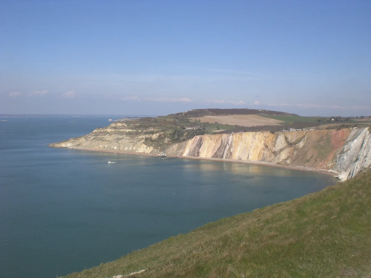
Bembridge Down is a named summit in the United Kingdom. Wikidata describes it as: "Named summit at 100 m.". Coordinates: 50.6703°, -1.1145°.
Photo gallery
Protected designations
- Area of Outstanding Natural Beauty: Isle Of Wight
Designations sourced from Natural England open data under OGL v3.
From the Wikipedia article
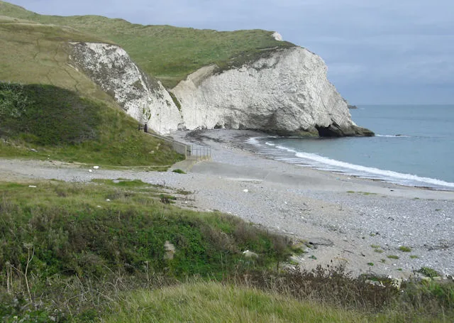
Bembridge Down is a 56.3-hectare (139-acre) Site of special scientific interest which is north-east of Sandown, Isle of Wight, England. The site was notified in 1951 for both its biological and geological features.
Excerpt from Wikipedia under CC BY-SA 4.0. See the source article linked in Sources below.
- Coordinates
- 50.6703, -1.1145
- District
- Isle of Wight
- Parish
- Bembridge
- Postcode
- PO36 8QY
- Parliamentary constituency
- Isle of Wight East
- Nearest railway station
- Brading — 1.9 km
Sources
- osm: n673496561 (ODbL)
- wikipedia: Bembridge Down (CC BY-SA 4.0)
- commons: Start of Bembridge Down.JPG (CC BY-SA 4.0)
Other places nearby
Loading nearby places…
Nearby
 📷 5
📷 5Memorials & monuments · South East England
The Earl Of Yarborough's Monument
The Earl Of Yarborough's Monument — Grade II listed building-listed memorial in england-south-east, United Kingdom.
 📷 5
📷 5Memorials & monuments · South East England
Yarborough Monument
Yarborough Monument is a memorial in the United Kingdom.
 📷 5
📷 5Natural landmarks · South East England
Culver Millenium Beacon
Culver Millenium Beacon — a other in england-south-east, United Kingdom.
Natural landmarks · South East England
Culver Down Battery
Culver Down Battery — a other in england-south-east, United Kingdom.
 📷 5
📷 5Forests & woodlands · South East England
RSPB Brading Marshes
RSPB Brading Marshes is a forest or woodland in the United Kingdom.
Caravan parks · South East England
Sandhills Holiday Park
Sandhills Holiday Park — a caravan park in england south east.
More mountains in this region
 📷 5
📷 5Mountains & hills · South East England
Alum Bay
Alum Bay is a mountain or hill in the United Kingdom.
 📷 5
📷 5Mountains & hills · South East England
Arish Mell
Arish Mell — bay in Dorset, England.
 📷 5
📷 5Mountains & hills · South East England
Balaclava Bay
Balaclava Bay — bay in Dorset, England.
 📷 5
📷 5Mountains & hills · South East England
Balch Cave
Balch Cave — Cave in Somerset, England.
Frequently asked questions
- Where is Bembridge Down?
- Bembridge Down is in South-East England, United Kingdom (postcode PO36 8QY), in the parish of Bembridge.
- Is Bembridge Down a protected site?
- Yes — Bembridge Down is part of the Isle Of Wight National Landscape (AONB).
- Is Bembridge Down free to visit?
- Yes, Bembridge Down is free to enter.
- How do I get to Bembridge Down?
- The nearest railway station is Brading, about 1.9 km away. Drivers can navigate to postcode PO36 8QY.