
Natural landmarks · Scottish Islands
Bay of Greentoft
Bay of Greentoft — a natural feature in scotland islands.

Rude Health — CC BY-SA 2.0 via Wikimedia Commons licence

Plan your visit
- Typical visit
- 1 h–2 h
- Dog-friendly
About
Bay of Greentoft is a named natural feature in scotland islands, recorded in the GeoNames UK gazetteer. British landmarks of this type are typically marked on Ordnance Survey maps and recorded in the national gazetteer for cartographic and navigational reference. Coordinates and feature classification are sourced from the GeoNames open dataset.
Photo gallery
Place summary
The Bay of Greentoft is a natural landmark located in the Scottish Islands. This coastal area features rugged cliffs and expansive views of the surrounding sea. It is characterised by its unique geological formations and diverse marine life, making it a point of interest for nature enthusiasts and researchers alike. The bay is part of the region's stunning coastal landscape, offering a glimpse into Scotland's natural beauty.
AI-generated from the structured facts on this page (operator, designation, listing, era). Not a substitute for visiting.
- Coordinates
- 59.1500, -2.7667
- District
- Orkney Islands
- Postcode
- KW17 2AA
- Parliamentary constituency
- Orkney and Shetland
Sources
- manual: geonames-2647939 (CC BY 4.0)
Other places nearby

standing stone 130m SW of Southside
Windmills · 0.3 km

Stackel Brae
Archaeological sites · 0.7 km
Sands of Green
Beaches · 0.8 km

Backaland
Islands · 0.9 km
Hannah's Kirk
Archaeological sites · 0.9 km

Ward Hill
Mountains & hills · 1.1 km

Knol of Merrigarth
Archaeological sites · 1.1 km

Whitemaw Bay
Natural landmarks · 1.7 km
Leeniesdale Hill
Mountains & hills · 2.0 km

Chapel Hill
Mountains & hills · 2.5 km
Flaughton Hill
Mountains & hills · 2.6 km
Whitemaw Hill
Mountains & hills · 2.9 km
Nearby
📷 5Windmills · Scottish Islands
standing stone 130m SW of Southside
standing stone 130m SW of Southside — a post mill in scotland-islands, United Kingdom.
📷 3Archaeological sites · Scottish Islands
Stackel Brae
Stackel Brae — a archaeological in scotland-islands, United Kingdom.
📷 5📷 5📷 3Archaeological sites · Scottish Islands
Hannah's Kirk
Hannah's Kirk — a archaeological in scotland-islands, United Kingdom.
📷 5Mountains & hills · Scottish Islands
Ward Hill
Ward Hill — mountain in scotland islands. Elevation: 102 m.
Where to eat & stay near Bay of Greentoft
Places to stay
 📷 5
📷 5Hostels · Scottish Islands
Eday Community Youth Hostel
Eday Community Youth Hostel — a hostel in scotland islands.
 📷 5
📷 5Campsites · Scottish Islands
Trumland Hostel & Campsite
Trumland Hostel & Campsite — a campsite in scotland islands.
📷 5Hostels · Scottish Islands
Trumland Hostel & Campsite
Trumland Hostel & Campsite — a hostel in scotland islands.
 📷 5
📷 5Campsites · Scottish Islands
Ayres Rock Hostel & Campsite
Ayres Rock Hostel & Campsite — a campsite in scotland islands.
📷 5 📷 5
📷 5Hotels · Scottish Islands
Balfour Castle
Balfour Castle — a hotel in scotland islands.
More natural landmarks in this region
 📷 3
📷 3Natural landmarks · Scottish Islands
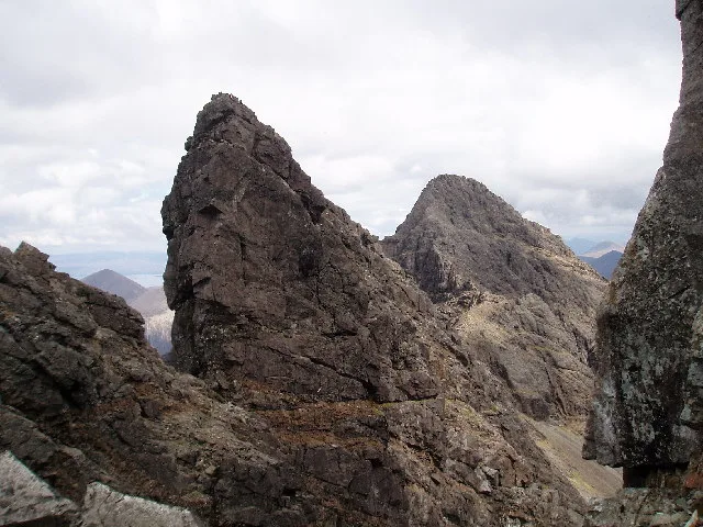
Am Basteir
Am Basteir — 934m high mountain in Highland, Scotland, UK.
 📷 3
📷 3Natural landmarks · Scottish Islands
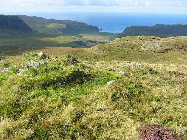
Arnaval
Arnaval — mountain on the Isle of Skye, in Highland, Scotland, UK.
 📷 5
📷 5Natural landmarks · Scottish Islands
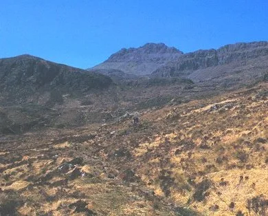
Askival
Askival — 812m high mountain in Highland, Scotland, UK.
 📷 5
📷 5Natural landmarks · Scottish Islands
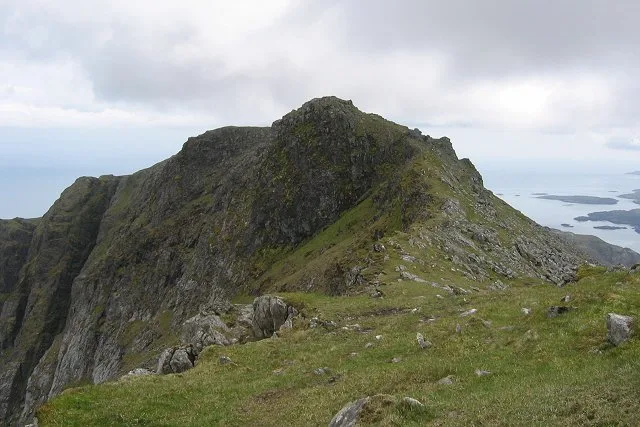
Beinn Mhòr
Beinn Mhòr — 620m high mountain on South Uist, Outer Hebrides, Scotland, UK.
Frequently asked questions
- Where is Bay of Greentoft?
- Bay of Greentoft is in the Scottish Islands, United Kingdom (postcode KW17 2AA).
- What is Bay of Greentoft?
- Bay of Greentoft — a natural feature in scotland islands.
- How do I get to Bay of Greentoft?
- Drivers can use postcode KW17 2AA.
- How do I get to Bay of Greentoft?
- Drivers can navigate to postcode KW17 2AA. It sits within the Orkney and Shetland parliamentary constituency.