
Forts · Yorkshire & the Humber
Battle of Marston Moor
Also known as: Brwydr Marston Moor
In or near Tockwith.
Battle of Marston Moor is a fort in the United Kingdom.

Wikimedia Commons contributors — see linked file page for photographer and licence licence

Plan your visit
- Typical visit
- 45 min–1.5 h
- Nearest railway station
- Hammerton · 3.8 km
Getting there & planning your visit
To visit the Battle of Marston Moor, the nearest railway station is Hammerton, located 3.8 km away. The postcode for sat-nav is YO26 7PL. Entry details are not specified.
About
Battle of Marston Moor is a historic fort or fortified site in the United Kingdom. Coordinates: 53.9634°, -1.2662°. This entry is part of The Great Britain Guide, a free, ad-free, open-data tourist directory.
Photo gallery
From the Wikipedia article
The Battle of Marston Moor was fought on 2 July 1644, during the Wars of the Three Kingdoms of 1639–1653. The combined forces of the English Parliamentarians under Lord Fairfax and the Earl of Manchester and the Scottish Covenanters under the Earl of Leven defeated the Royalists commanded by Prince Rupert of the Rhine and the Marquess of Newcastle. During the summer of 1644, the Covenanters and Parliamentarians had been besieging York, which was defended by the Marquess of Newcastle. Rupert had gathered an army which marched through the northwest of England, gathering reinforcements and fresh recruits on the way, and across the Pennines to relieve the city. The convergence of these forces made the ensuing battle the largest of the civil wars. On 1 July, Rupert outmanoeuvred the Covenanters and Parliamentarians to relieve the city. The next day, he sought battle with them even though he was outnumbered. He was dissuaded from attacking immediately and during the day both sides gathered their full strength on Marston Moor, an expanse of wild meadow west of York. Towards evening, the Covenanters and Parliamentarians themselves launched a surprise attack. After a confused fight lasting two hours, Parliamentarian cavalry under Oliver Cromwell routed the Royalist cavalry from the field and, with Leven's infantry, annihilated the remaining Royalist infantry. After their defeat the Royalists effectively abandoned Northern England, losing much of the manpower from the northern counties of England (which were strongly Royalist in sympathy) and also losing access to the European continent through the ports on the North Sea coast. Although they partially retrieved their fortunes with victories later in the year in Southern England, the loss of the north was to prove a fatal handicap the next year, when they tried unsuccessfully to link up with the Scottish Royalists under the Marquess of Montrose.
Excerpt from Wikipedia under CC BY-SA 4.0. See the source article linked in Sources below.
- Coordinates
- 53.9634, -1.2662
- District
- North Yorkshire
- Parish
- Long Marston
- Postcode
- YO26 7PL
- Parliamentary constituency
- Wetherby and Easingwold
- Nearest railway station
- Hammerton — 3.8 km
Sources
- osm: w160606221 (ODbL)
- wikipedia: Battle of Marston Moor (CC BY-SA 4.0)
- commons: Battle of Marston Moor 1644 by John Barker.png (CC BY-SA 4.0)
Other places nearby

Battle of Marston Moor (1644) Monument
Memorials & monuments · 0.8 km

Stirling Bomber crash monument
Memorials & monuments · 1.1 km

Tockwith
Towns & cities · 1.4 km

Bilton-in-Ainsty with Bickerton War Memorial Cross
Memorials & monuments · 1.9 km
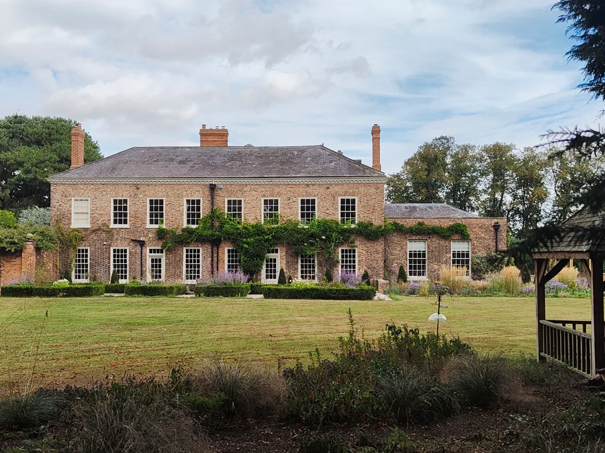
Long Marston Manor
Stately homes · 2.5 km

Long Marston
Villages · 2.6 km

Tockwith Caravan Storage
Caravan parks · 2.9 km

Wilstrop deserted village
Archaeological sites · 3.2 km
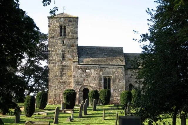
St John the Baptist church, Kirk Hammerton
Historic churches · 3.7 km

Skip Bridge
Historic bridges · 3.8 km

Kirk Hammerton
Villages · 3.8 km

Cattal Bridge
Historic bridges · 3.9 km
Nearby
📷 3Memorials & monuments · Yorkshire & the Humber
Battle of Marston Moor (1644) Monument
Battle of Marston Moor (1644) Monument is a memorial in the United Kingdom.
📷 3Memorials & monuments · Yorkshire & the Humber
Stirling Bomber crash monument
Stirling Bomber crash monument — a memorial in england-yorkshire, United Kingdom.
📷 5Towns & cities · Yorkshire & the Humber
Tockwith
Tockwith — village in North Yorkshire, England, UK.
📷 3Memorials & monuments · Yorkshire & the Humber
Bilton-in-Ainsty with Bickerton War Memorial Cross
Bilton-in-Ainsty with Bickerton War Memorial Cross — Grade II listed building-listed memorial in england-yorkshire, United Kingdom.
📷 3Stately homes · Yorkshire & the Humber
Long Marston Manor
Long Marston Manor — manor house in Long Marston, Harrogate, North Yorkshire, England, UK.
📷 5Where to eat & stay near Battle of Marston Moor
Places to stay
📷 5Caravan parks · Yorkshire & the Humber
Tockwith Caravan Storage
Tockwith Caravan Storage — a caravan park in england yorkshire.
 📷 5
📷 5Caravan parks · Yorkshire & the Humber
Niddmouth Caravan Site
Niddmouth Caravan Site — a caravan park in england yorkshire.
 📷 5
📷 5Caravan parks · Yorkshire & the Humber
Acomb Grange Caravan Site
Acomb Grange Caravan Site — a caravan park in england yorkshire.
 📷 5
📷 5Caravan parks · Yorkshire & the Humber
Linton Lock Marina
Linton Lock Marina — a caravan park in england yorkshire.
 📷 5
📷 5Caravan parks · Yorkshire & the Humber
Nurseries Caravan Park
Nurseries Caravan Park — a caravan park in england yorkshire.
 📷 5
📷 5Caravan parks · Yorkshire & the Humber
Cherry Tree Cottage Caravan site
Cherry Tree Cottage Caravan site — a caravan park in england yorkshire.
Places to eat & drink
 📷 5
📷 5Historic pubs · Yorkshire & the Humber
The Dawnay Arms
The Dawnay Arms in England Yorkshire, United Kingdom.
 📷 7
📷 7Historic pubs · Yorkshire & the Humber
Swan And Talbot
Swan And Talbot in England Yorkshire, United Kingdom.
 📷 7
📷 7Historic pubs · Yorkshire & the Humber
The Brunswick
The Brunswick in England Yorkshire, United Kingdom.
 📷 5
📷 5Historic pubs · Yorkshire & the Humber
The Angel And White Horse
The Angel And White Horse in England Yorkshire, United Kingdom.
 📷 5
📷 5Historic pubs · Yorkshire & the Humber
The Old Star Inn
The Old Star Inn in England Yorkshire, United Kingdom.
 📷 5
📷 5Historic pubs · Yorkshire & the Humber
Bay Horse Inn
Bay Horse Inn in England Yorkshire, United Kingdom.
More forts in this region
.jpg?width=1200) 📷 3
📷 3Forts · Yorkshire & the Humber
Battle Flat
Battle Flat is a fort in the United Kingdom.
 📷 3
📷 3Forts · Yorkshire & the Humber
Battle of Adwalton Moor
Battle of Adwalton Moor is a fort in the United Kingdom.
 📷 3
📷 3Forts · Yorkshire & the Humber
Battle of Boroughbridge
Battle of Boroughbridge is a fort in the United Kingdom.
 📷 3
📷 3Forts · Yorkshire & the Humber
Battle of Bramham Moor
Battle of Bramham Moor is a fort in the United Kingdom.
Frequently asked questions
- Where is Battle of Marston Moor?
- Battle of Marston Moor is in Yorkshire, United Kingdom (postcode YO26 7PL), in the parish of Long Marston.
- What is Battle of Marston Moor?
- Battle of Marston Moor is a fort in the United Kingdom.
- How do I get to Battle of Marston Moor?
- The nearest railway station is Hammerton, about 3.8 km away. Drivers can use postcode YO26 7PL.
- How do I get to Battle of Marston Moor?
- The nearest railway station is Hammerton, about 3.8 km away. Drivers can navigate to postcode YO26 7PL.