
Forts · Yorkshire & the Humber
Battle of Boroughbridge
In or near Marton-le-Moor.
Battle of Boroughbridge is a fort in the United Kingdom.

Wikimedia Commons contributors — see linked file page for photographer and licence licence

Plan your visit
- Typical visit
- 45 min–1.5 h
About
Battle of Boroughbridge is a historic fort or fortified site in the United Kingdom. Coordinates: 54.0971°, -1.3951°. This entry is part of The Great Britain Guide, a free, ad-free, open-data tourist directory.
Photo gallery
From the Wikipedia article
The Battle of Boroughbridge was fought on 16 March 1322 in England between a group of rebellious barons and the forces of King Edward II, near Boroughbridge, north-west of York. The culmination of a long period of antagonism between the King and Thomas, Earl of Lancaster, his most powerful subject, it resulted in Lancaster's defeat and execution, ending the Despenser War. This allowed Edward to re-establish royal authority and hold on to power for almost five more years. Though not a part of the Wars of Scottish Independence, the battle is significant for its employment of tactics learned in the Scottish wars in a domestic, English conflict. Both the extensive use of foot soldiers rather than cavalry and the heavy impact caused by the longbow represented significant steps in military developments.
Excerpt from Wikipedia under CC BY-SA 4.0. See the source article linked in Sources below.
Background
History
Edward II was a weak and ineffectual king (made to look the more so by comparison with his father and son, Edward I and Edward III), and his reign was marked by military failure and internal strife. A great number of the barons turned against the King and Thomas of Lancaster eventually became the leader of the opposition. Lancaster was Edward's cousin and next to the King was the richest man in the country. Through a set of regulations known as the Ordinances, Lancaster and his associates had been trying to put restrictions on royal authority, but by the late 1310s Edward was again in full control of central government. The situation was aggravated by the King's ostentatious patronage of…
Sourced from Wikipedia under CC BY-SA 4.0.
- Coordinates
- 54.0971, -1.3951
- District
- North Yorkshire
- Parish
- Boroughbridge
- Postcode
- YO51 9LA
- Parliamentary constituency
- Wetherby and Easingwold
Sources
- osm: n768491782 (ODbL)
- wikipedia: Battle of Boroughbridge (CC BY-SA 4.0)
- commons: Battle-of-Boroughbridge-en.jpg (CC BY-SA 4.0)
Other places nearby

Riverside Court
Historic pubs · 0.0 km
.JPG?width=1200)
Borough Bridge
Historic bridges · 0.0 km

Crown Hotel
Hotels · 0.1 km
.jpg?width=1200)
Boroughbridge War Memorial
Memorials & monuments · 0.2 km

Village Cross
Memorials & monuments · 0.3 km

Yorkshire Rose Public House
Historic pubs · 0.3 km

Boroughbridge
Museums · 0.4 km

Devil's Arrows
Archaeological sites · 0.7 km

Devil's Arrows
Stone circles · 0.7 km

Old Hall Holiday Park
Caravan parks · 0.8 km

RMBC Langthorpe Moorings
Piers · 0.9 km
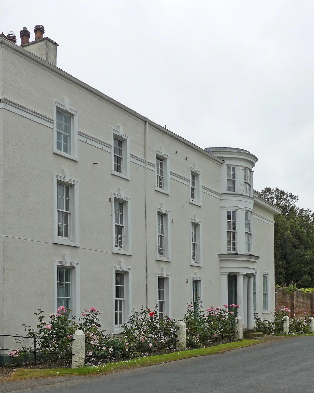
Aldborough Manor
Stately homes · 0.9 km
Nearby
📷 5Historic pubs · Yorkshire & the Humber
Riverside Court
Riverside Court in England Yorkshire, United Kingdom.
📷 3Historic bridges · Yorkshire & the Humber
Borough Bridge
Borough Bridge is a historic bridge in the United Kingdom.
📷 5📷 3Memorials & monuments · Yorkshire & the Humber
Boroughbridge War Memorial
Boroughbridge War Memorial is a memorial in the United Kingdom.
📷 4Memorials & monuments · Yorkshire & the Humber
Village Cross
Village Cross is a memorial in the United Kingdom.
📷 5Historic pubs · Yorkshire & the Humber
Yorkshire Rose Public House
Yorkshire Rose Public House in England Yorkshire, United Kingdom.
Where to eat & stay near Battle of Boroughbridge
Places to stay
📷 5📷 5Caravan parks · Yorkshire & the Humber
Old Hall Holiday Park
Old Hall Holiday Park — a caravan park in england yorkshire.
 📷 5
📷 5Caravan parks · Yorkshire & the Humber
Ponderosa Paddocks
Ponderosa Paddocks — a caravan park in england yorkshire.
 📷 5
📷 5Caravan parks · Yorkshire & the Humber
Headlands Caravan Park
Headlands Caravan Park — a caravan park in england yorkshire.
 📷 5
📷 5Caravan parks · Yorkshire & the Humber
Boroughbridge Camping And Caravanning Club Site
Boroughbridge Camping And Caravanning Club Site — a caravan park in england yorkshire.
 📷 5
📷 5Caravan parks · Yorkshire & the Humber
Ashdown Park
Ashdown Park — a caravan park in england yorkshire.
Places to eat & drink
📷 5Historic pubs · Yorkshire & the Humber
Riverside Court
Riverside Court in England Yorkshire, United Kingdom.
📷 5Historic pubs · Yorkshire & the Humber
Yorkshire Rose Public House
Yorkshire Rose Public House in England Yorkshire, United Kingdom.
 📷 5
📷 5Historic pubs · Yorkshire & the Humber
Golden Lion Public House Old Fountain Stores
Golden Lion Public House Old Fountain Stores in England Yorkshire, United Kingdom.
 📷 5
📷 5Historic pubs · Yorkshire & the Humber
The Oak Tree Public House
The Oak Tree Public House in England Yorkshire, United Kingdom.
 📷 7
📷 7Historic pubs · Yorkshire & the Humber
The Fleece Public House
The Fleece Public House in England Yorkshire, United Kingdom.
 📷 5
📷 5Cafés · Yorkshire & the Humber
Lula's Café
Lula's Café — a café in england yorkshire.
More forts in this region
.jpg?width=1200) 📷 3
📷 3Forts · Yorkshire & the Humber
Battle Flat
Battle Flat is a fort in the United Kingdom.
 📷 3
📷 3Forts · Yorkshire & the Humber
Battle of Adwalton Moor
Battle of Adwalton Moor is a fort in the United Kingdom.
 📷 3
📷 3Forts · Yorkshire & the Humber
Battle of Bramham Moor
Battle of Bramham Moor is a fort in the United Kingdom.
 📷 3
📷 3Forts · Yorkshire & the Humber
Battle of Chequer Field
Battle of Chequer Field is a fort in the United Kingdom.
Frequently asked questions
- Where is Battle of Boroughbridge?
- Battle of Boroughbridge is in Yorkshire, United Kingdom (postcode YO51 9LA), in the parish of Boroughbridge.
- What is Battle of Boroughbridge?
- Battle of Boroughbridge is a fort in the United Kingdom.
- How do I get to Battle of Boroughbridge?
- Drivers can use postcode YO51 9LA.
- How do I get to Battle of Boroughbridge?
- Drivers can navigate to postcode YO51 9LA. It sits within the Wetherby and Easingwold parliamentary constituency.