
Mountains & hills · South West England
Barrow Hill
In or near Sandhurst.
Barrow Hill — mountain in england west midlands. Elevation: 75 m.

Ian S — CC BY-SA 2.0 via Wikimedia Commons licence

Plan your visit
- Typical visit
- 3 h–8 h
- Best time of year
- Late spring – early autumn (May–Oct)
- Nearest railway station
- Gloucester · 8.5 km
- Dog-friendly
About
Barrow Hill is a mountain located in england west midlands. Elevation: 75 m. A named British peak recorded in OpenStreetMap. Peaks are typically named on Ordnance Survey 1:50k mapping.
Photo gallery
Protected designations
- Area of Outstanding Natural Beauty: Cotswolds
Designations sourced from Natural England open data under OGL v3.
Place summary
Barrow Hill is a mountain located in the West Midlands. It is part of the natural landscape of the region, offering various outdoor activities. Visitors can expect a range of walking trails suitable for different skill levels, providing opportunities to explore the area's natural beauty. The surrounding environment is characterised by typical West Midlands flora and fauna.
AI-generated from the structured facts on this page (operator, designation, listing, era). Not a substitute for visiting.
- Coordinates
- 51.9403, -2.2610
- County
- Gloucestershire
- District
- Tewkesbury
- Parish
- Ashleworth
- Postcode
- GL19 4LD
- Parliamentary constituency
- Forest of Dean
- Nearest railway station
- Gloucester — 8.5 km
Sources
- osm: n471633728 (ODbL)
Other places nearby

Wall And Main Entrance Gates, Hasfield Court
Holy wells · 0.6 km
Hasfield
Villages · 0.6 km

Hasfield Court
Stately homes · 0.7 km

Monument To William Lane In The Churchyard Of The Church Of St Mary, Circa 9 Metres South West Of Tower
Memorials & monuments · 0.8 km

Church of St Mary
Historic churches · 0.8 km

Monument To Reverend Ralph Bourne Baker In The Churchyard Of The Church Of St Mary, Circa 6 Metres North Of North Aisle
Memorials & monuments · 0.8 km

Meerend Thicket and Ashleworth Ham
Forests & woodlands · 1.0 km
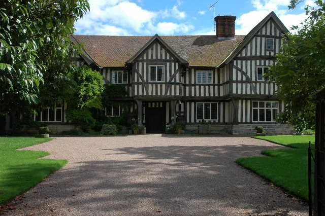
Ashleworth Manor
Stately homes · 1.2 km

The Great House
Historic houses · 1.3 km

Corse Grove Hill
Mountains & hills · 1.4 km

The Preaching Cross
Memorials & monuments · 1.7 km

Ashleworth Court
Historic houses · 1.7 km
Nearby
📷 3Holy wells · South West England
Wall And Main Entrance Gates, Hasfield Court
Wall And Main Entrance Gates, Hasfield Court — wall in Hasfield, Tewkesbury, Gloucestershire, England, UK.
📷 5📷 4Stately homes · South West England
Hasfield Court
Hasfield Court — a garden in england-west-midlands, United Kingdom.
📷 3Memorials & monuments · South West England
Monument To William Lane In The Churchyard Of The Church Of St Mary, Circa 9 Metres South West Of Tower
Monument To William Lane In The Churchyard Of The Church Of St Mary, Circa 9 Metres South West Of Tower — Grade II listed building-listed memorial in england-west-midlands, United Kingdom.
📷 3Historic churches · South West England
Church of St Mary
Church of St Mary — church in Hasfield, Gloucestershire, England, UK.
📷 3Memorials & monuments · South West England
Monument To Reverend Ralph Bourne Baker In The Churchyard Of The Church Of St Mary, Circa 6 Metres North Of North Aisle
Monument To Reverend Ralph Bourne Baker In The Churchyard Of The Church Of St Mary, Circa 6 Metres North Of North Aisle — Grade II listed building-listed memorial in england-west-midlands, United King
Where to eat & stay near Barrow Hill
Places to stay
 📷 5
Campsites · South West England
The Red Lion Caravan and Camping Park
The Red Lion Caravan and Camping Park — a campsite in england west midlands.
 📷 5
Campsites · South West England
Court Farm Camping
Court Farm Camping — a campsite in england west midlands.
 📷 5
Caravan parks · South West England
Fieldview Caravan Park
Fieldview Caravan Park — a caravan park in england west midlands.
 📷 5
Hotels · South West England
Hatherley Manor Hotel
Hatherley Manor Hotel — a hotel in england west midlands.
 📷 5
Caravan parks · South West England
The Willows
The Willows — a caravan park in england west midlands.
 📷 5
Caravan parks · West Midlands
Three Counties Park
Three Counties Park — a caravan park in england west midlands.
Places to eat & drink
 📷 7
Restaurants · South West England
The Dark Barn
The Dark Barn — a restaurant in england west midlands. Cuisine: gastropub. 4-star.
📷 5Historic pubs · South West England
Lower Lode Hotel
Lower Lode Hotel in England South East, United Kingdom.
 📷 5
Historic pubs · South West England
Coach And Horses Inn
Coach And Horses Inn in England South East, United Kingdom.
 📷 6
Historic pubs · South West England
The Pelican Inn
The Pelican Inn in England South East, United Kingdom.
 📷 7
Historic pubs · South West England
Dick Whittington Tavern
Dick Whittington Tavern in England South East, United Kingdom.
 📷 5
More mountains in this region
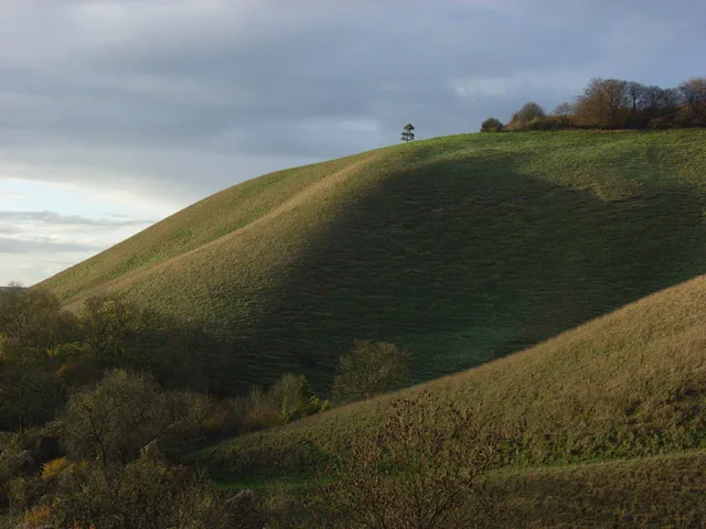 📷 5
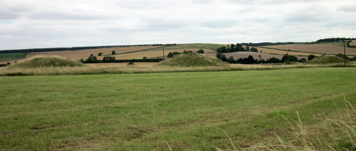 📷 5
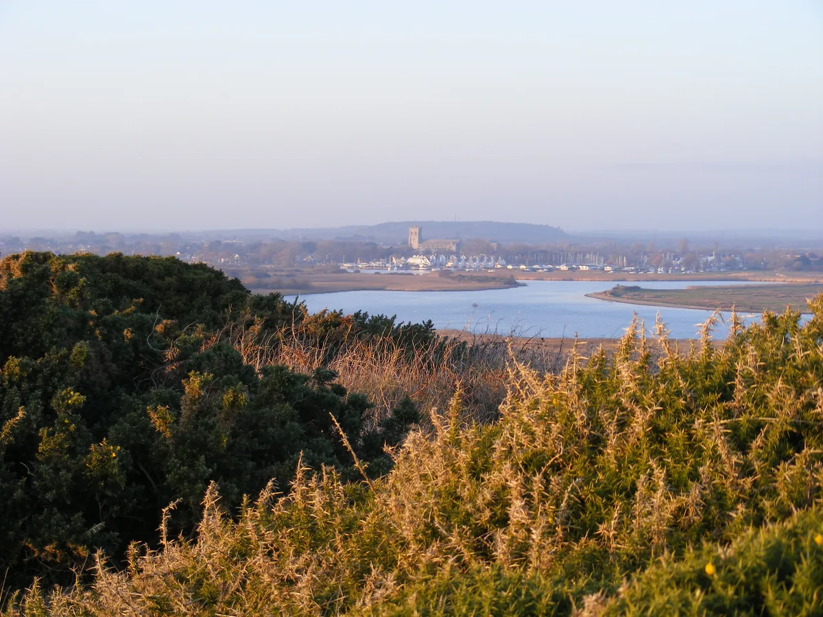 📷 5
Mountains & hills · South West England
Warren Hill
Warren Hill — Named summit at 36 m.
 📷 5
Mountains & hills · South West England
Porton Down
Porton Down — a hill or mountain in england south east.
Frequently asked questions
- Where is Barrow Hill?
- Barrow Hill is in Gloucestershire, South-West England, United Kingdom (postcode GL19 4LD), in the parish of Ashleworth.
- What is Barrow Hill?
- Barrow Hill — mountain in england west midlands. Elevation: 75 m.
- How do I get to Barrow Hill?
- The nearest railway station is Gloucester, about 8.5 km away. The nearest town is Sandhurst. Drivers can use postcode GL19 4LD.
- Is Barrow Hill a protected site?
- Yes — Barrow Hill is part of the Cotswolds National Landscape (AONB).
- How do I get to Barrow Hill?
- Drivers can navigate to postcode GL19 4LD. It sits within the Forest of Dean parliamentary constituency.