
Lighthouses · Scottish Islands
Barra Head Lighthouse
Barra Head Lighthouse — lighthouse in Outer Hebrides, Scotland, UK.

Wikimedia Commons contributors — see linked file page for photographer and licence licence

Plan your visit
- Typical visit
- 30 min–1 h
- Free entry
- Family-friendly
- Dog-friendly
Getting there & planning your visit
Barra Head Lighthouse is located in the Scottish Highlands at latitude 56.7854 and longitude -7.6536, and there is no nearest railway station or postcode available. Entry to the lighthouse is free. Accessibility details are not provided.
About
Barra Head Lighthouse is a working or historic lighthouse on the United Kingdom coast. Records date its origin to 1833. Heritage designation: category A listed building. Managed by Northern Lighthouse Board. Wikidata describes it as: "lighthouse in Outer Hebrides, Scotland, UK". Coordinates: 56.7854°, -7.6536°.
Photo gallery
Heritage listing
Barra Head Lighthouse on Barra Head identifies the southern entrance to The Minch, roughly halfway between the Eilean Glas and Rinns of Islay lighthouses. The 58-foot (18-metre) stone tower, built in 1833, stands on the west side of the island, at the top of a very steep cliff, making the light the highest in the UK with a focal plane of 208 m (682 ft) above sea level. It has a range of 18 nautical miles (21 mi; 33 km). There is no shallow water west of Berneray to break the blow of the Atlantic storms and small fish are sometimes thrown onto the grass on the cliff top.
From Historic Environment Scotland under OGL v3.
Official information
Barra Head Lighthouse is a historic lighthouse located on Barra Head, the southernmost point of the Outer Hebrides in Scotland. Visitors can explore the lighthouse and learn about its history and significance in maritime navigation.
From the Wikipedia article
Barra Head Lighthouse on Barra Head identifies the southern entrance to The Minch, roughly halfway between the Eilean Glas and Rinns of Islay lighthouses. The 58-foot (18-metre) stone tower, built in 1833, stands on the west side of the island, at the top of a very steep cliff, making the light the highest in the UK with a focal plane of 208 m (682 ft) above sea level. It has a range of 18 nautical miles (21 mi; 33 km). There is no shallow water west of Berneray to break the blow of the Atlantic storms and small fish are sometimes thrown onto the grass on the cliff top. In 1836 Sir Archibald Geikie recorded the movement of a 42-long-ton (43-tonne) block of gneiss across 5 feet (1.5 m) of ground during a violent storm.
Excerpt from Wikipedia under CC BY-SA 4.0. See the source article linked in Sources below.
Background
History
Designed by Robert Stevenson and built by James Smith of Inverness the light was first exhibited on 15 October 1833. The oil-burning light was converted to incandescent in 1906 and the lighthouse was converted to automatic operation on 23 October 1980, when the last keepers were withdrawn. The departure of the last of the crofting families meant an end to regular links by sea and the regular mist and fog rendered signalling unreliable. A system of wireless communications with Castlebay on Barra was therefore proposed and installed by 1925. The pier was built in the late 1930s with the approach of war, when a sophisticated radar system was installed to guard the Western Approaches. This…
Sourced from Wikipedia under CC BY-SA 4.0.
- Coordinates
- 56.7854, -7.6536
- Address
- Barra Head<br>Outer Hebrides<br>Scotland
- Established
- 1833
- Official site
- www.nlb.org.uk
Sources
- wikidata: Q3378173 (CC0)
- wikipedia: Barra Head Lighthouse (CC BY-SA 4.0)
- commons: Entrance to Dun Sron an Duin, Berneray - geograph.org.uk - 1033042.jpg (CC BY-SA 4.0)
Other places nearby

Sròn an Dùin
Mountains & hills · 0.0 km
Berneray
Vineyards · 0.1 km
Berneray, Dun Briste
Vineyards · 0.3 km
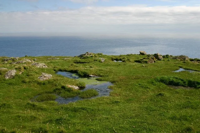
Sotan
Mountains & hills · 0.6 km

Mingulay, Geirum Mor
Vineyards · 0.9 km

Gearum Beag, dun site
Archaeological sites · 1.1 km
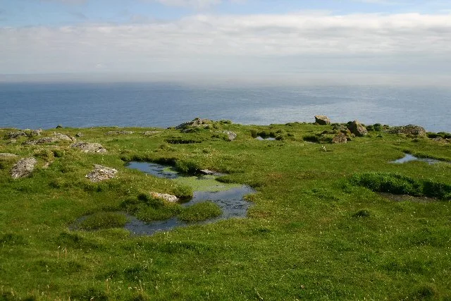
Barra Head
Islands · 1.1 km

Arnamul
Mountains & hills · 1.7 km

Mingulay, Dun Mhiughlaigh
Vineyards · 2.1 km

Heacla
Mountains & hills · 2.1 km
Gunamul
Mountains & hills · 2.1 km
Hèacla
Mountains & hills · 2.2 km
Nearby
📷 5Mountains & hills · Scottish Islands
Sròn an Dùin
Sròn an Dùin — a hill or mountain in scotland highlands.
📷 5Vineyards · Scottish Islands
Berneray
Berneray — a UK vineyard in scotland highlands, producing English or Welsh wine from cool-climate grape varieties.
📷 5Vineyards · Scottish Islands
Berneray, Dun Briste
Berneray, Dun Briste — a UK vineyard in scotland highlands, producing English or Welsh wine from cool-climate grape varieties.
📷 5📷 5Vineyards · Scottish Islands
Mingulay, Geirum Mor
Mingulay, Geirum Mor — a UK vineyard in scotland highlands, producing English or Welsh wine from cool-climate grape varieties.
📷 3Archaeological sites · Scottish Islands
Gearum Beag, dun site
Gearum Beag, dun site — a archaeological in scotland-highlands, United Kingdom.
Where to eat & stay near Barra Head Lighthouse
Places to stay
 📷 5
📷 5Hostels · Scottish Islands
Dunard Hostel
Dunard Hostel — a hostel in scotland highlands.
 📷 5
📷 5Campsites · Scottish Islands
Borve Camping and Caravan Site
Borve Camping and Caravan Site — a campsite in scotland highlands.
📷 5Campsites · Scottish Islands
Wavecrest Campsite
Wavecrest Campsite — a campsite in scotland highlands.
More places run by Northern Lighthouse Board
 📷 3
📷 3Lighthouses · North West England
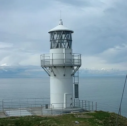
Crammag Head Lighthouse
Crammag Head Lighthouse — lighthouse in Dumfries and Galloway, Scotland, UK.
 📷 3
📷 3Lighthouses · North West England
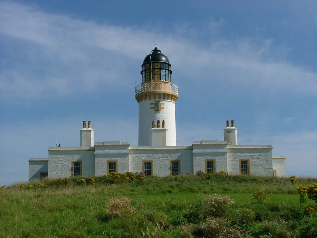
Little Ross Lighthouse
Little Ross Lighthouse — lighthouse in Dumfries and Galloway, Scotland, UK.
 📷 3
📷 3Lighthouses · North West England
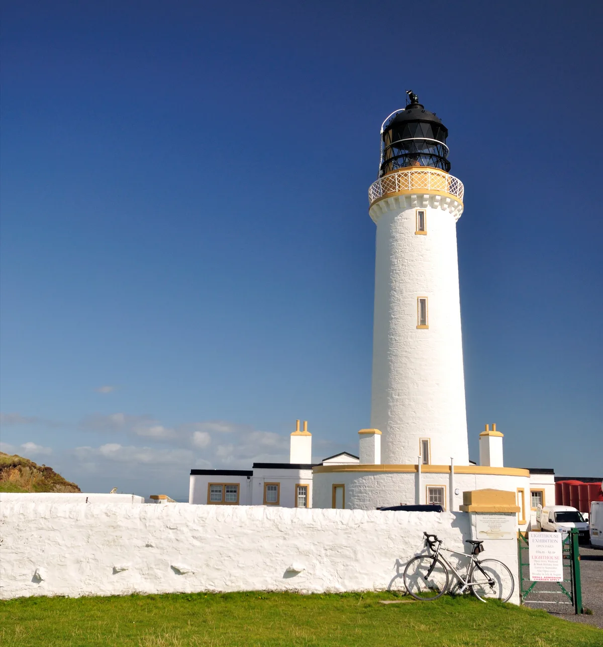
Mull of Galloway Lighthouse
Mull of Galloway Lighthouse — lighthouse in Dumfries and Galloway, Scotland, UK.
 📷 3
📷 3Lighthouses · Scottish Highlands
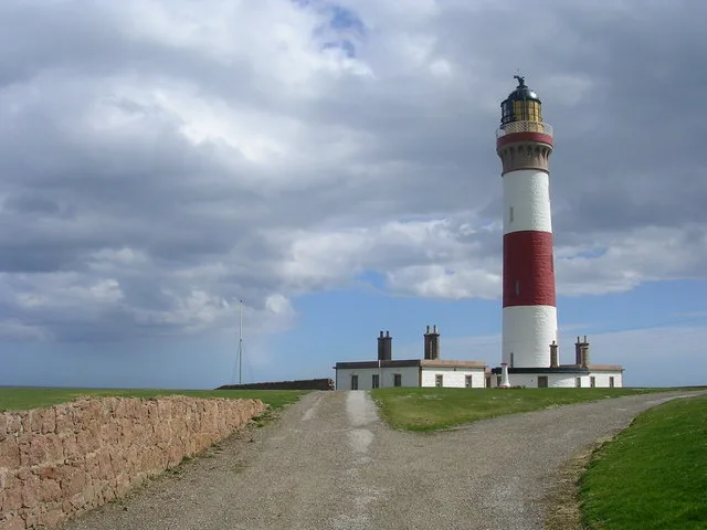
Buchan Ness Lighthouse
Buchan Ness Lighthouse — lighthouse in Aberdeenshire, Scotland, UK.
Other lighthouses from this era
 📷 5
📷 5Lighthouses · South East England
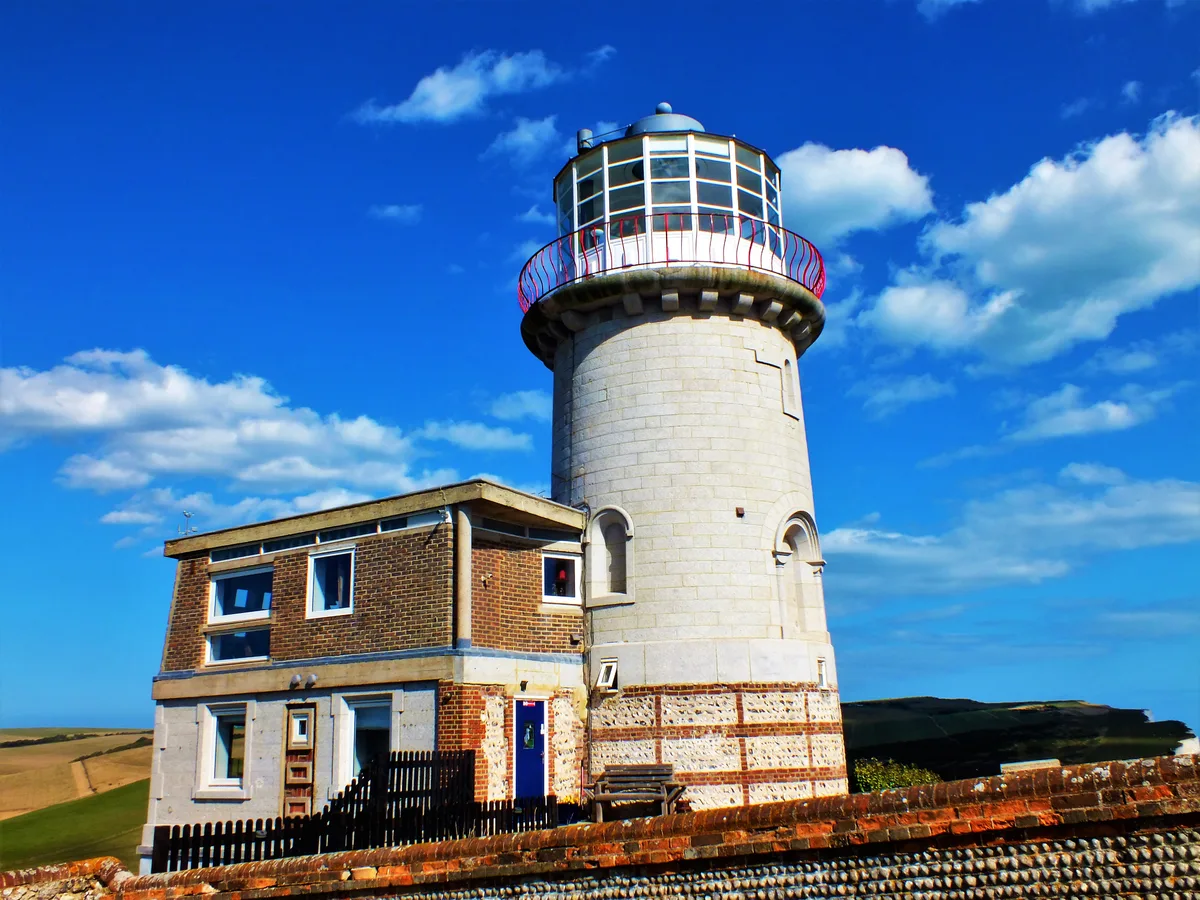
Belle Tout lighthouse
Belle Tout lighthouse — decommissioned lighthouse at Beachy Head, East Sussex, England, UK.
 📷 5
📷 5Lighthouses · South East England
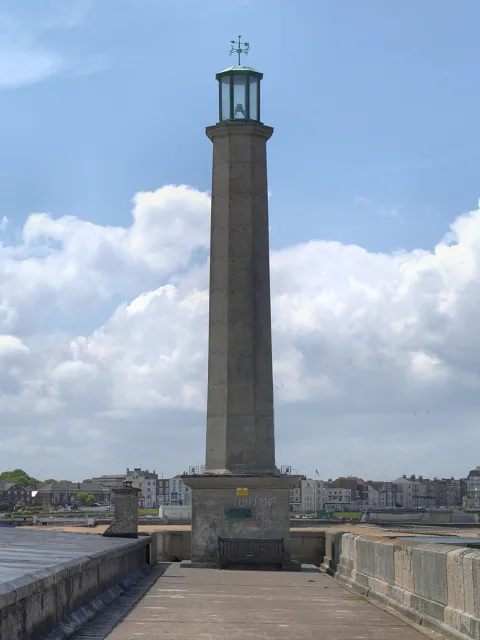
Margate Lighthouse
Margate Lighthouse — lighthouse in Margate, Kent, England.
 📷 5
📷 5Lighthouses · South East England
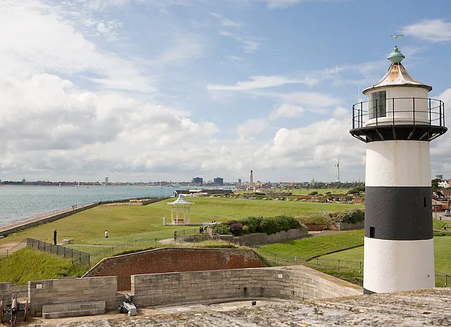
Southsea Castle lighthouse
Southsea Castle lighthouse — lighthouse in Southsea, Hampshire, England, UK.
 📷 5
📷 5Lighthouses · South West England
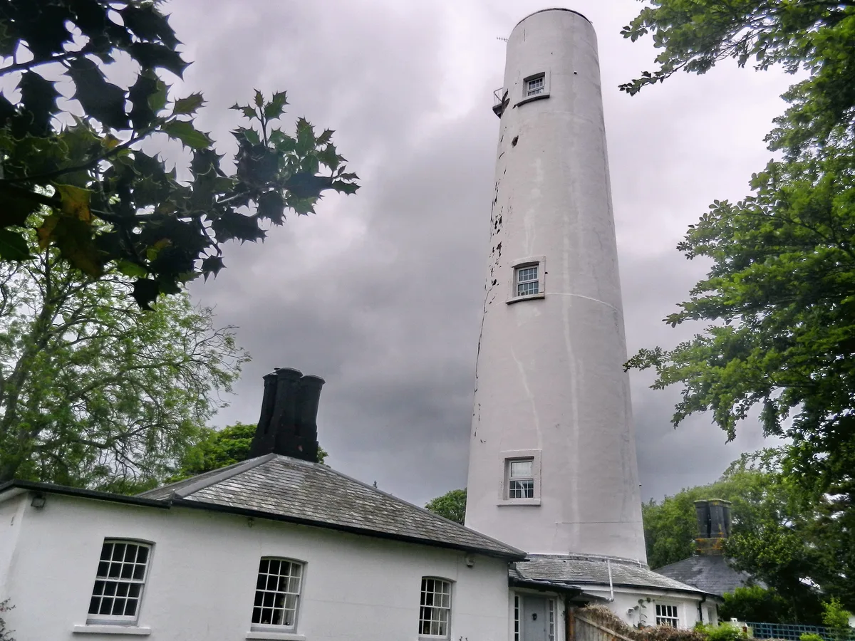
Burnham-on-Sea High Lighthouse
Burnham-on-Sea High Lighthouse — lighthouse in Burnham-on-Sea and Highbridge, Sedgemoor, Somerset, England, UK.
More lighthouses in this region
 📷 2
📷 2Lighthouses · Scottish Islands
Aird Laimishader
Aird Laimishader — lighthouse on the Isle of Lewis, Scotland, UK.
 📷 2
📷 2Lighthouses · Scottish Islands
An t-Iasgair Light
An t-Iasgair Light — lighthouse in Highland, Scotland, UK.
 📷 3
📷 3Lighthouses · Scottish Islands
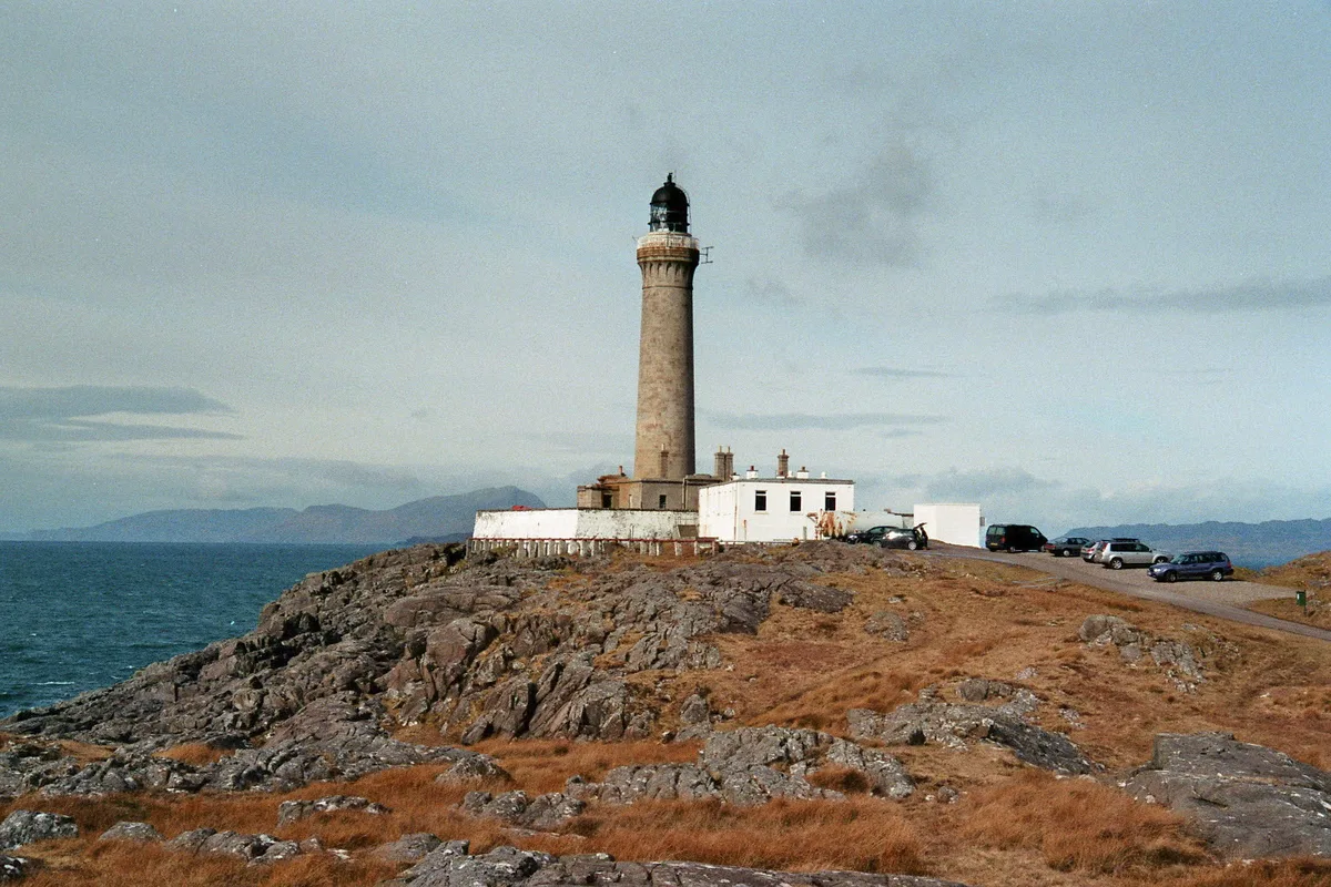
Ardnamurchan Lighthouse
Ardnamurchan Lighthouse — lighthouse in Lochaber, Highland, Scotland, built in 1849.
 📷 3
📷 3Lighthouses · Scottish Islands
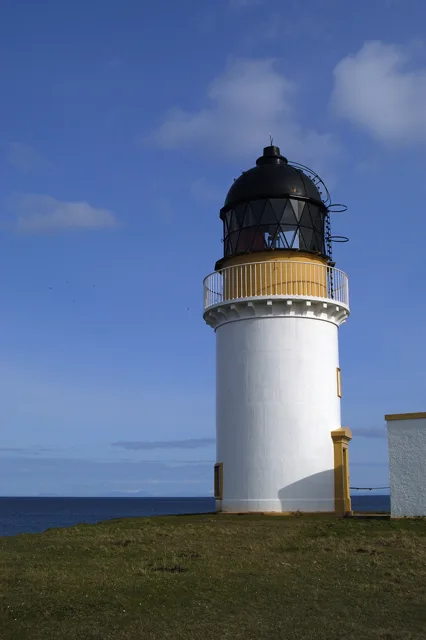
Arnish Point Lighthouse, Lewis
Arnish Point Lighthouse, Lewis — lighthouse in Outer Hebrides, Scotland, UK.
Frequently asked questions
- Where is Barra Head Lighthouse?
- Barra Head Lighthouse is in the Scottish Highlands, United Kingdom.
- What is Barra Head Lighthouse?
- Barra Head Lighthouse — lighthouse in Outer Hebrides, Scotland, UK.
- How do I get to Barra Head Lighthouse?
- Its coordinates are 56.7854°, -7.6536°.
- When was Barra Head Lighthouse built?
- Built or established in 1833.
- Who runs Barra Head Lighthouse?
- Barra Head Lighthouse is operated by Northern Lighthouse Board.
- Is Barra Head Lighthouse a listed building?
- Barra Head Lighthouse is officially recognised as category A listed building listed.
- Is Barra Head Lighthouse free to visit?
- Yes, Barra Head Lighthouse is free to enter.