Parks · North East England
Barnes
In or near Sunderland.
Barnes in England North East, United Kingdom.

Robert Graham — CC BY-SA 2.0 via Wikimedia Commons licence
Plan your visit
- Typical visit
- 1 h–2 h
- Nearest railway station
- Millfield · 1.1 km
- Free entry
- Family-friendly
- Dog-friendly
Getting there & planning your visit
To visit Barnes park in Sunderland, the nearest railway station is Millfield, located 1.1 km away. Entry to the park is free.
About
Barnes is a place of interest in England North East, United Kingdom — drawn from open-data sources for visitor reference. See the linked Wikipedia article for the full description.
Photo gallery
Protected designations
- Site of Special Scientific Interest: Durham Coast SSSI
Designations sourced from Natural England open data under OGL v3.
From the Wikipedia article
Barnes is an inner suburb in the southwest of Sunderland in northeast England, situated about a mile from the city centre. The area is split into Barnes, which lies towards the east, and High Barnes, which lies around Barnes Park and the Bede Sixth Form Centre of City of Sunderland College. Barnes is bounded by Chester Road to the north, Durham Road on the south, Springwell Road to the west and the city centre to the east. However, these boundaries are not officially set; views vary as to where the area begins and ends. The population of this ward taken at the 2021 Census was 10,781. There are two churches in the vicinity of High Barnes, Ewesley Road Methodist Church and St. Gabriel's Church.
Excerpt from Wikipedia under CC BY-SA 4.0. See the source article linked in Sources below.
Background
History
The specific name of "The Barnes" evolved from what was described as "The Barnes of the Manor of Hameldon" a former medieval village which existed in the area in reference to the nearby Humbledon Hill. After the estate was partitioned, the Barnes became the property of the Bowes Family. The Ettrick family mansion, situated to the north of the modern day park on the hill overlooking the surrounding area, was the centre of the estate. The mansion house fell into disrepair and was demolished in the mid-19th century. Formerly Little Sisters of The Poor operated a Catholic care home, built in the late 19th century, on the site; it dominates the area. The Nuns relinquished the very large building…
Sourced from Wikipedia under CC BY-SA 4.0.
- Coordinates
- 54.8976, -1.4077
- District
- Sunderland
- Parish
- Sunderland, unparished area
- Postcode
- SR4 7PN
- Parliamentary constituency
- Sunderland Central
- Nearest railway station
- Millfield — 1.1 km
Sources
- wikidata: Q4861498 (CC0)
- wikipedia: Barnes, Sunderland (CC BY-SA 4.0)
Other places nearby

Bishopwearmouth Burn
Parks · 0.3 km
City of Sunderland College
Other places · 0.5 km

The Lodge
Cafés · 0.6 km

Barnes Park
Parks · 0.6 km

Plaque to commemorate civilians killed in World War II
Memorials & monuments · 0.7 km
St. Mary's Roman Catholic School, Sunderland
Historic churches · 0.7 km

Bishopwearmouth Cemetery
Cemeteries · 0.8 km

Humbledon Hill
Mountains & hills · 0.8 km

Defended settlement on Humbledon Hill
Archaeological sites · 0.8 km
Defended settlement on Humbledon Hill
Vineyards · 0.8 km
Non-Conformist Mortuary chapel (ruins)
Historic houses · 0.8 km
Non-Conformist Mortuary chapel (ruins)
Archaeological sites · 0.8 km
Nearby
📷 3Parks · North East England
Bishopwearmouth Burn
Bishopwearmouth Burn in England North East, United Kingdom.
📷 3Other places · North East England
City of Sunderland College
City of Sunderland College in England North East, United Kingdom.
📷 5📷 4📷 3Memorials & monuments · North East England
Plaque to commemorate civilians killed in World War II
Plaque to commemorate civilians killed in World War II — a memorial in scotland-lowlands, United Kingdom.
📷 3Historic churches · North East England
St. Mary's Roman Catholic School, Sunderland
St. Mary's Roman Catholic School, Sunderland in England North East, United Kingdom.
Where to eat & stay near Barnes
Places to stay
 📷 5
📷 5Hotels · North East England
Hilton Garden Inn Sunderland
Hilton Garden Inn Sunderland — a hotel in scotland lowlands. 3-star. Brand: Hilton Garden Inn.
 📷 5
📷 5Caravan parks · North East England
Showmen's Guild Site - Sunnyside Farm
Showmen's Guild Site - Sunnyside Farm — a caravan park in scotland lowlands.
 📷 5
📷 5Caravan parks · North East England
Lizard Lane Caravan Park
Lizard Lane Caravan Park — a caravan park in scotland lowlands.
 📷 5
📷 5Hotels · North East England
Bowes Incline Hotel
Bowes Incline Hotel — a hotel in scotland lowlands.
 📷 5
📷 5 📷 5
📷 5Caravan parks · North East England
Sandhaven Caravan Site
Sandhaven Caravan Site — a caravan park in scotland lowlands.
Places to eat & drink
📷 5 📷 5
📷 5Historic pubs · North East England
Mountain Daisy Public House
Mountain Daisy Public House in England North East, United Kingdom.
 📷 6
📷 6Historic pubs · North East England
Fitzgerald's Public House
Fitzgerald's Public House in England North East, United Kingdom.
 📷 5
📷 5Historic pubs · North East England
Livingstone's Public House
Livingstone's Public House in England North East, United Kingdom.
 📷 5
📷 5Historic pubs · North East England
Greens Public House
Greens Public House in England North East, United Kingdom.
 📷 5
📷 5Historic pubs · North East England
The Dun Cow Public House
The Dun Cow Public House in England North East, United Kingdom.
More parks in this region
 📷 3
📷 3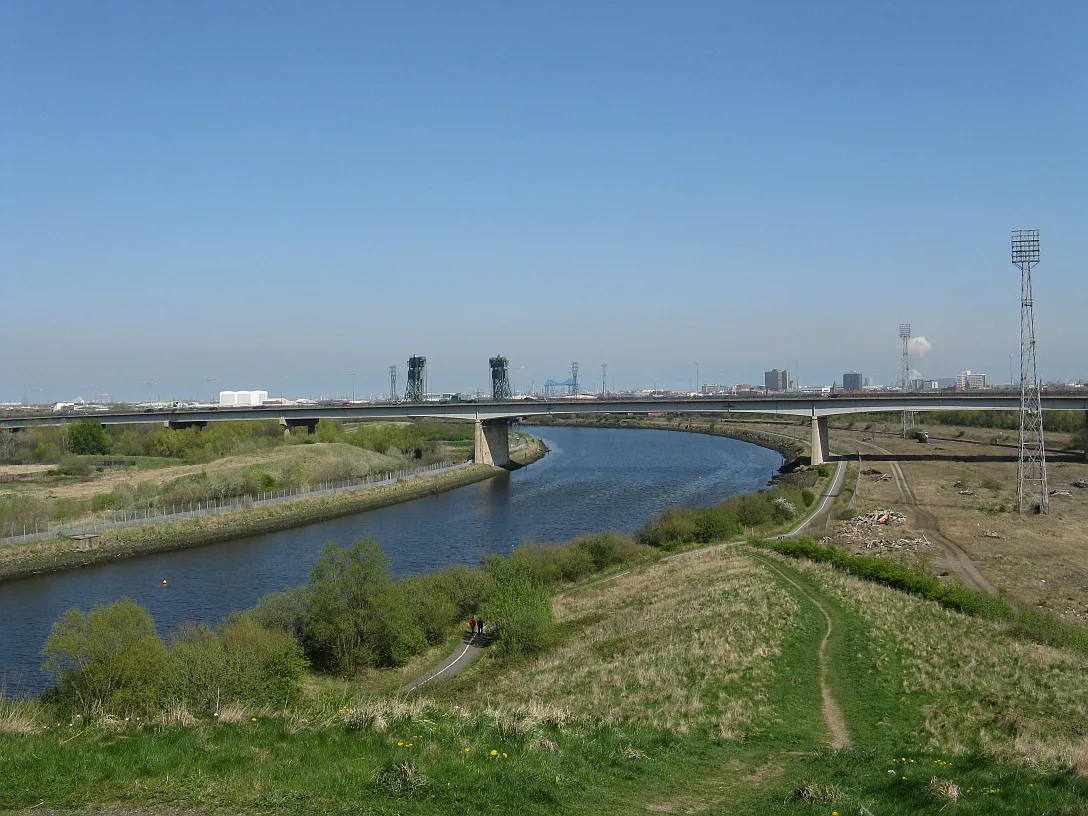 📷 4
📷 4Parks · North East England
Maze Park Nature Reserve
Maze Park Nature Reserve — park in Middlesbrough, United Kingdom.
 📷 3
📷 3Parks · North East England
Portrack Incinerator
Portrack Incinerator — former waste and power plant in England.
 📷 3
📷 3Parks · North East England
Preston Park, Stockton-on-Tees
Preston Park, Stockton-on-Tees — public park in north eastern England.
Frequently asked questions
- Where is Barnes?
- Barnes is in North-East England, United Kingdom (postcode SR4 7PN), in the parish of Sunderland, unparished area.
- What is Barnes?
- Barnes in England North East, United Kingdom.
- How do I get to Barnes?
- The nearest railway station is Millfield, about 1.1 km away. Drivers can use postcode SR4 7PN.
- Is Barnes a protected site?
- Yes — Barnes is part of the Durham Coast SSSI Site of Special Scientific Interest.
- Is Barnes free to visit?
- Yes, Barnes is free to enter.
- How do I get to Barnes?
- The nearest railway station is Millfield, about 1.1 km away. Drivers can navigate to postcode SR4 7PN.