Mountains & hills · Northern Ireland
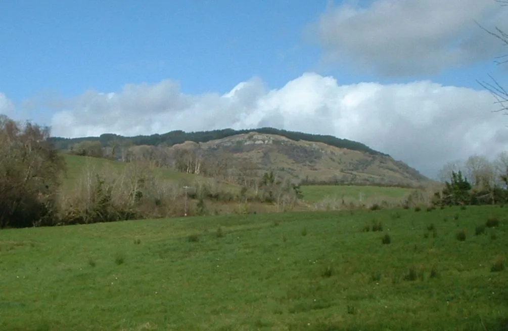
Barnes Top
Barnes Top — a hill or mountain in northern ireland.

Kenneth Allen — CC BY-SA 2.0 via Wikimedia Commons licence
Plan your visit
- Typical visit
- 3 h–8 h
- Best time of year
- Late spring – early autumn (May–Oct)
About
A British hill or mountain, named on Ordnance Survey maps and walked by hill-baggers. Barnes Top is a named hill or mountain in northern ireland, recorded in the GeoNames UK gazetteer. British landmarks of this type are typically marked on Ordnance Survey maps and recorded in the national gazetteer for cartographic and navigational reference. Coordinates and feature classification are sourced from the GeoNames open dataset.
Photo gallery
- Coordinates
- 54.8428, -7.0077
Sources
- manual: geonames-12611264 (CC BY 4.0)
Other places nearby
Loading nearby places…
Nearby
📷 5Mountains & hills · Northern Ireland
Barnes Top
Barnes Top — mountain in northern ireland. Elevation: 456 m.
📷 5Mountains & hills · Northern Ireland
Knockanbane Mountain
Knockanbane Mountain — mountain in northern ireland. Elevation: 441.0 m.
Mountains & hills · Northern Ireland
Knockanbane Mountain
Knockanbane Mountain — mountain in northern ireland. Elevation: 494.2 m.
 📷 5
📷 5Mountains & hills · Northern Ireland
Meenard Mtn W Top
Meenard Mtn W Top — mountain in northern ireland. Elevation: 480 m.
 📷 5
📷 5Mountains & hills · Northern Ireland
Mullach Aise
Mullach Aise — a hill or mountain in northern ireland.
📷 5Mountains & hills · Northern Ireland
Mullaghash
Mullaghash — mountain in northern ireland. Elevation: 480 m.
Where to eat & stay near Barnes Top
Places to stay
 📷 5
📷 5Campsites · Northern Ireland
Shepherds Rest
Shepherds Rest — a campsite in northern ireland.
📷 5Caravan parks · Northern Ireland
Shepherds Rest
Shepherds Rest — a caravan park in northern ireland.
 📷 3
📷 3Campsites · Northern Ireland
Hillfoot Campsite
Hillfoot Campsite — a campsite in northern ireland.
 📷 3
📷 3Hotels · Northern Ireland
The Belfray
The Belfray — a hotel in northern ireland.
More mountains in this region
 📷 5
📷 5Mountains & hills · Northern Ireland
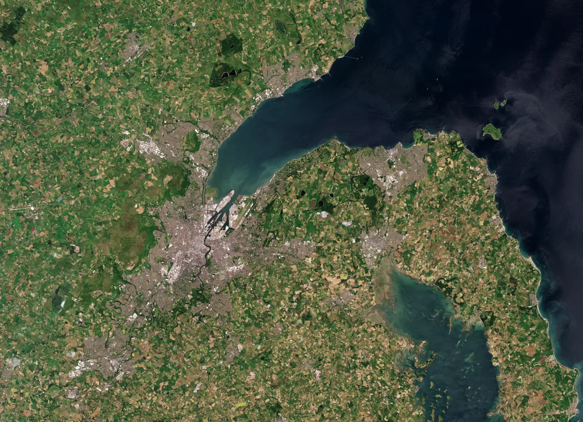
Belfast Lough
Belfast Lough — intertidal inlet in Northern Ireland.
 📷 5
📷 5Mountains & hills · Northern Ireland
Belmore Mountain
Belmore Mountain — Named summit at 398 m.
 📷 4
📷 4Mountains & hills · Northern Ireland
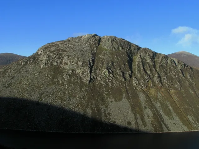
Ben Crom
Ben Crom — Named summit at 526 m.
 📷 3
📷 3Mountains & hills · Northern Ireland
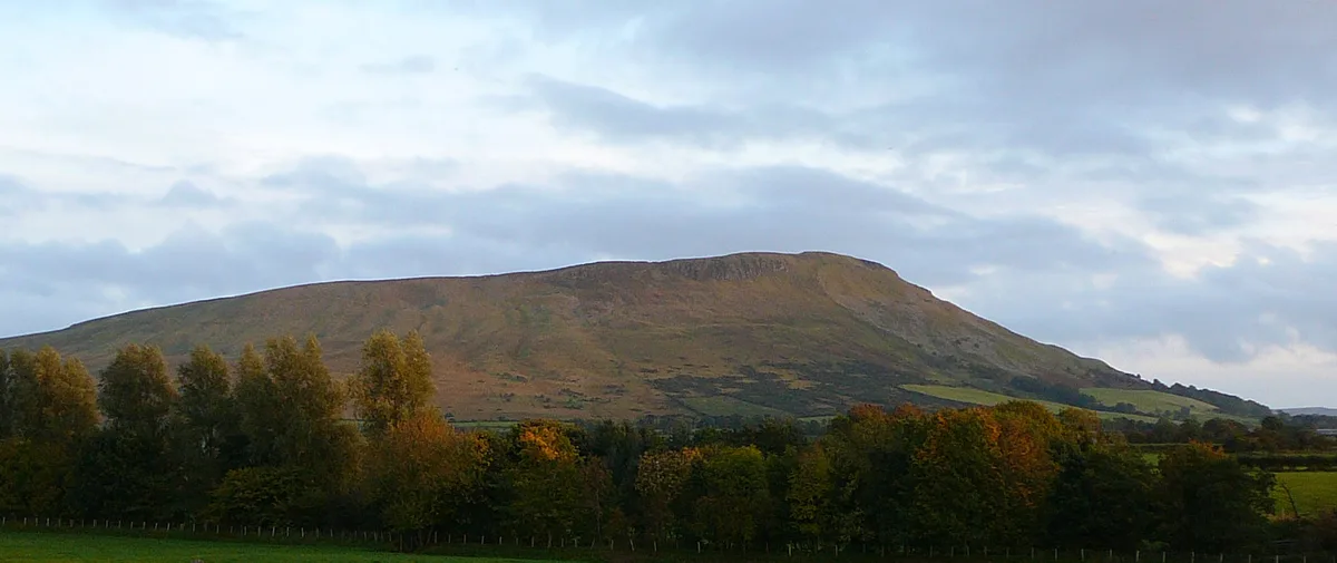
Benbradagh
Benbradagh — Named summit at 465 m.
Frequently asked questions
- Where is Barnes Top?
- Barnes Top is in Northern Ireland, United Kingdom.
- What is Barnes Top?
- Barnes Top — a hill or mountain in northern ireland.
- How do I get to Barnes Top?
- Its coordinates are 54.8428°, -7.0077°.