Mountains & hills · South East England
Barkers Hill
Barkers Hill — a hill or mountain in england south east.

Toby — CC BY-SA 2.0 via Wikimedia Commons licence
Plan your visit
- Typical visit
- 3 h–8 h
- Best time of year
- Late spring – early autumn (May–Oct)
About
A British hill or mountain, named on Ordnance Survey maps and walked by hill-baggers. Barkers Hill is a named hill or mountain in england south east, recorded in the GeoNames UK gazetteer. British landmarks of this type are typically marked on Ordnance Survey maps and recorded in the national gazetteer for cartographic and navigational reference. Coordinates and feature classification are sourced from the GeoNames open dataset.
Photo gallery
Place summary
Barkers Hill is a mountain located in South-East England. It is notable for its elevation and natural landscape, offering a range of outdoor activities for visitors. The area is suitable for walking, hiking, and enjoying the surrounding scenery. As a prominent feature in the region, it attracts those interested in exploring the outdoors.
AI-generated from the structured facts on this page (operator, designation, listing, era). Not a substitute for visiting.
- Coordinates
- 51.0299, -2.1355
Sources
- manual: geonames-12613732 (CC BY 4.0)
Other places nearby
Loading nearby places…
Nearby
 📷 5
📷 5Mountains & hills · South East England
Barkers Hill
Barkers Hill — mountain in england south east. Elevation: 208 m.
 📷 5
📷 5Historic churches · South East England
Church of St Mary
Church of St Mary — church in Donhead St Mary, Wiltshire, England, UK.
📷 5Mountains & hills · South East England
Tittle Path Hill
Tittle Path Hill — mountain in england south east. Elevation: 241 m.
 📷 5
📷 5Memorials & monuments · South East England
Donhead St. Andrew War Memorial
Donhead St. Andrew War Memorial — Grade II listed building-listed memorial in england-south-east, United Kingdom.
 📷 4
📷 4Villages · South East England
Donhead St Andrew
Donhead St Andrew — a village in england south east.
 📷 5
📷 5Manor houses · South East England
Hook Manor
Hook Manor — Grade II* listed building-listed manor in england-south-east, United Kingdom.
Where to eat & stay near Barkers Hill
Places to stay
 📷 5
📷 5Hotels · South East England
Royal Chase Hotel
Royal Chase Hotel — a hotel in england south east.
 📷 5
📷 5Hotels · South East England
The Grosvenor Arms
The Grosvenor Arms — a hotel in england south east.
 📷 5
📷 5Campsites · South East England
Holyrood campsite
Holyrood campsite — a campsite in england south east.
 📷 5
📷 5Campsites · South East England
Melbury Vale Farm
Melbury Vale Farm — a campsite in england south east.
 📷 5
📷 5B&Bs · South East England
The Royal Oak
The Royal Oak — a bed-and-breakfast in england south east.
 📷 5
📷 5Hotels · South East England
The Lamb
The Lamb — a hotel in england south east.
Places to eat & drink
 📷 5
📷 5Historic pubs · South West England
The Benett Arms
The Benett Arms in England South West, United Kingdom.
 📷 5
📷 5Historic pubs · South West England
The Mitre Inn
The Mitre Inn in England South West, United Kingdom.
 📷 5
📷 5Historic pubs · South West England
The Ship Inn
The Ship Inn in England South West, United Kingdom.
 📷 5
📷 5Historic pubs · South West England
Talbot Inn
Talbot Inn in England South West, United Kingdom.
 📷 5
📷 5Historic pubs · South West England
Fox And Hounds Public House
Fox And Hounds Public House in England South West, United Kingdom.
 📷 5
📷 5Historic pubs · South West England
The Talbot at Iwerne Minster
The Talbot at Iwerne Minster in England South West, United Kingdom.
More mountains in this region
 📷 5
📷 5Mountains & hills · South East England
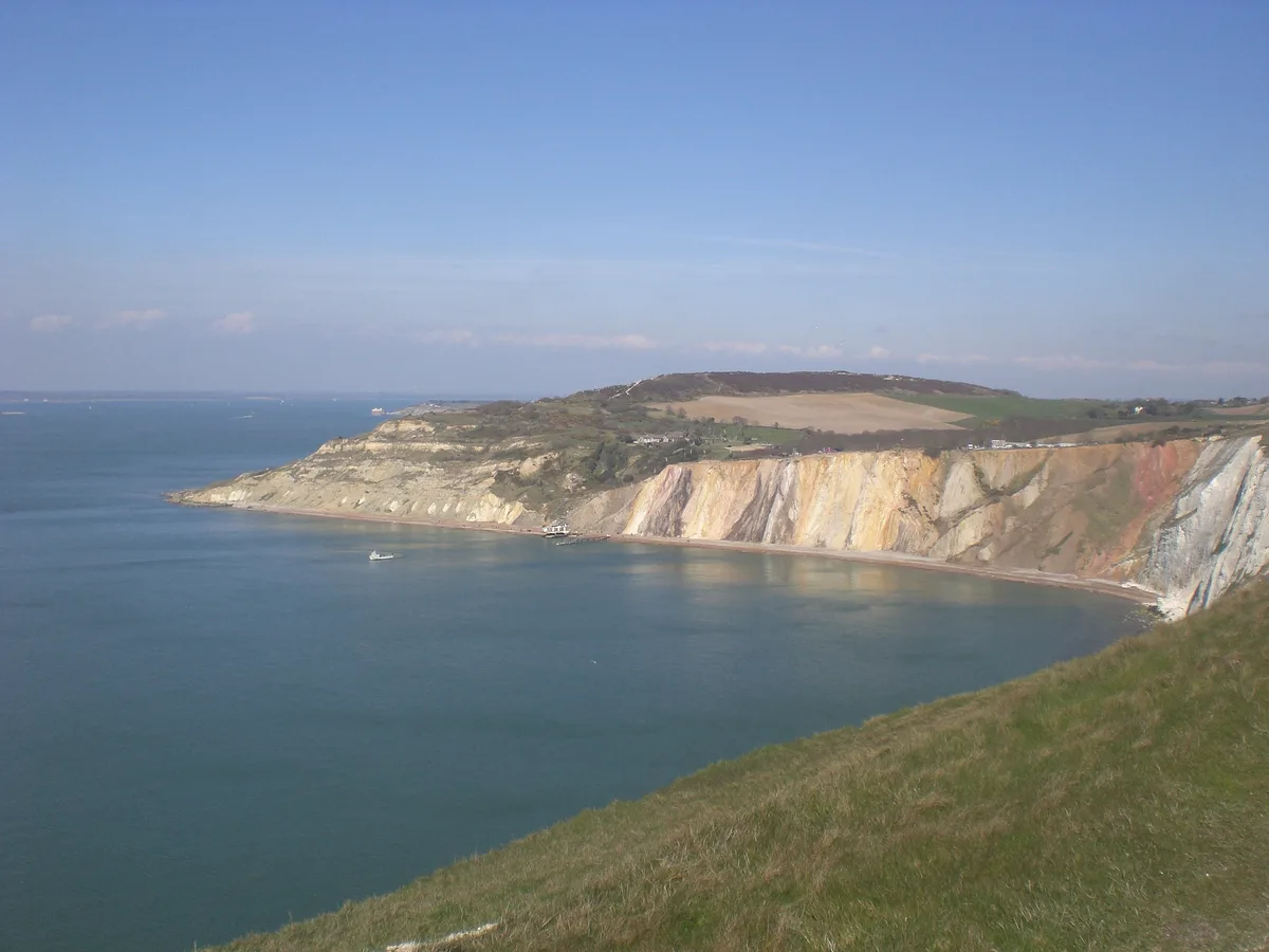
Alum Bay
Alum Bay is a mountain or hill in the United Kingdom.
 📷 5
📷 5Mountains & hills · South East England
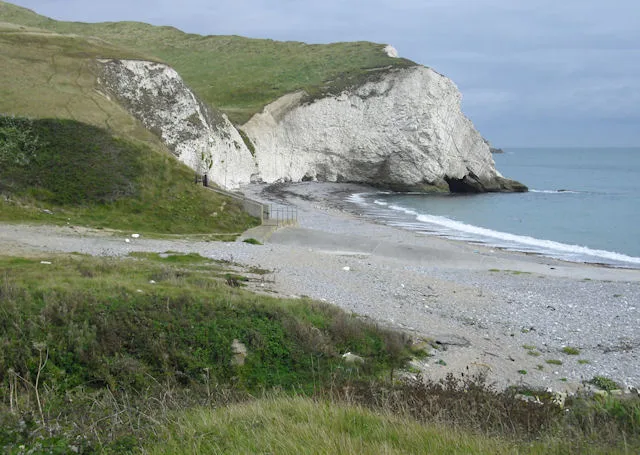
Arish Mell
Arish Mell — bay in Dorset, England.
 📷 5
📷 5Mountains & hills · South East England
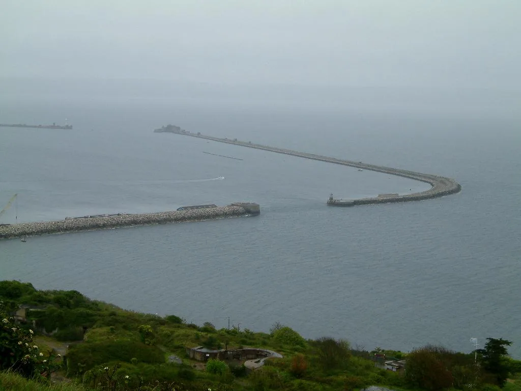
Balaclava Bay
Balaclava Bay — bay in Dorset, England.
 📷 5
📷 5Mountains & hills · South East England
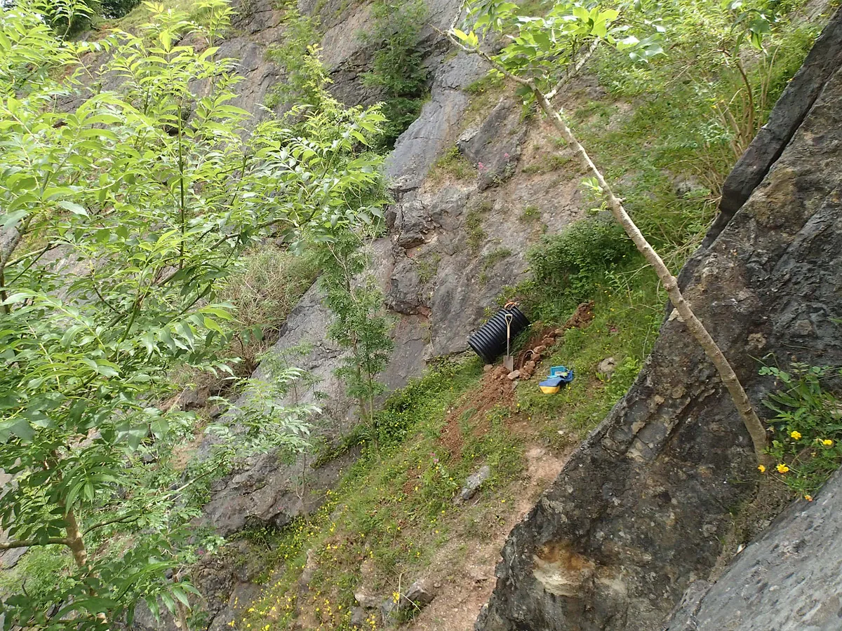
Balch Cave
Balch Cave — Cave in Somerset, England.
Frequently asked questions
- Where is Barkers Hill?
- Barkers Hill is in South-East England, United Kingdom.
- What is Barkers Hill?
- Barkers Hill — a hill or mountain in england south east.
- How do I get to Barkers Hill?
- Its coordinates are 51.0299°, -2.1355°.