
Hill forts · East Midlands
Bannaventa
In or near Norton.
Bannaventa — settlement in Northamptonshire, England.

Wikimedia Commons contributors — see linked file page for photographer and licence licence

Plan your visit
- Typical visit
- 1 h–2 h
- Nearest railway station
- Long Buckby · 2.4 km
- Free entry
- Dog-friendly
Getting there & planning your visit
To visit Bannaventa, the nearest railway station is Long Buckby, located 2.4 km away. The postcode for sat-nav is NN11 2EH. Entry to the site is free.
About
Bannaventa is a hill fort in the United Kingdom. Heritage designation: scheduled monument. Wikidata describes it as: "settlement in Northamptonshire, England". Coordinates: 52.2753°, -1.1022°.
Photo gallery
From the Wikipedia article
Bannaventa or Benaventa was a Romano-British fortified town which was on the Roman road later called Watling Street, which today is here, as in most places, the A5 road. Bannaventa straddles the boundaries of Norton and Whilton, Northamptonshire, England, villages highly clustered 1 kilometre (0.62 mi) and double that away, respectively.
Excerpt from Wikipedia under CC BY-SA 4.0. See the source article linked in Sources below.
Background
Description
| caption = Map of the small Roman town of Bannaventa straddling the Watling Street Roman Road at a junction with a road to Duston. A larger first-century enclosure surrounds a possible late 3rd century walled enclosure. No above ground remains can be seen and Watling Street now makes a minor diversion from its Roman course. The canal, railway and motorway to the east have removed the evidence of the course of the Duston road. |legendBox=Bannaventa,150px70px3px, 4px354px |legendItem1=Roman 'Small Town' <br>(1st century,2,13 |legendItem2=Roman Posting Station (3rd century),11,36 |legendItem3=Roman roads and streets,12,60 |mark-coord11= |shape11=box |mark-size11=25x3 |shape-color11=dark…
Sourced from Wikipedia under CC BY-SA 4.0.
- Coordinates
- 52.2753, -1.1022
- District
- West Northamptonshire
- Parish
- Whilton
- Postcode
- NN11 2EH
- Parliamentary constituency
- Daventry
- Nearest railway station
- Long Buckby — 2.4 km
Sources
- wikidata: Q1884439 (CC0)
- wikipedia: Bannaventa (CC BY-SA 4.0)
- commons: Bannaventa site.png (CC BY-SA 4.0)
Other places nearby

Bridge Number 14 Over Grand Union Canal
Historic bridges · 0.5 km

Whilton Locks
Canal locks · 0.5 km

Grand Union Canal Long Buckby Wharf Bridge Number 12
Historic bridges · 1.1 km
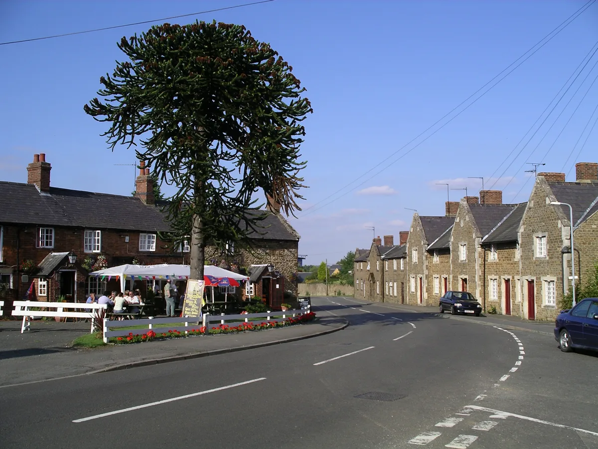
Norton
Towns & cities · 1.2 km
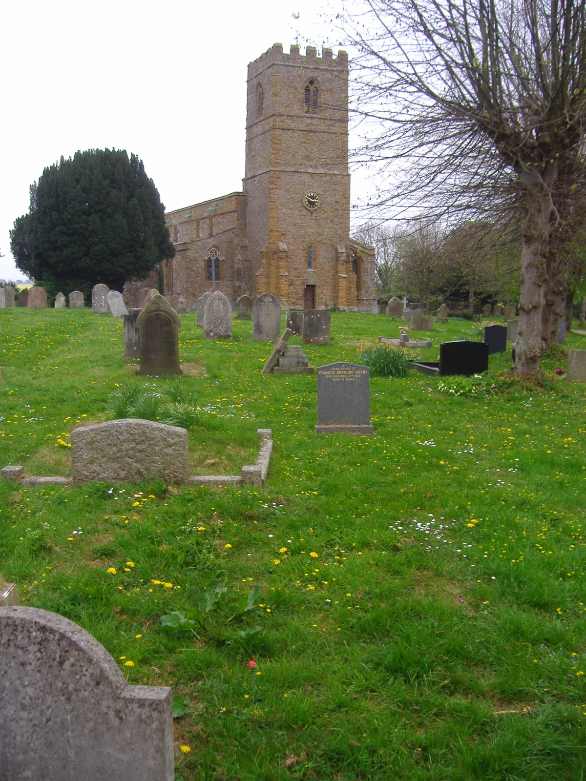
Church of All Saints
Historic churches · 1.3 km

Grand Union Canal Bridge Number 10
Historic bridges · 1.6 km

Muscott
Vineyards · 1.7 km

Bridge Over Lake In Brockhall Park
Historic bridges · 2.1 km

Grand Union Canal Leicester Line Bridge Number 2 At Sp600663
Historic bridges · 2.2 km
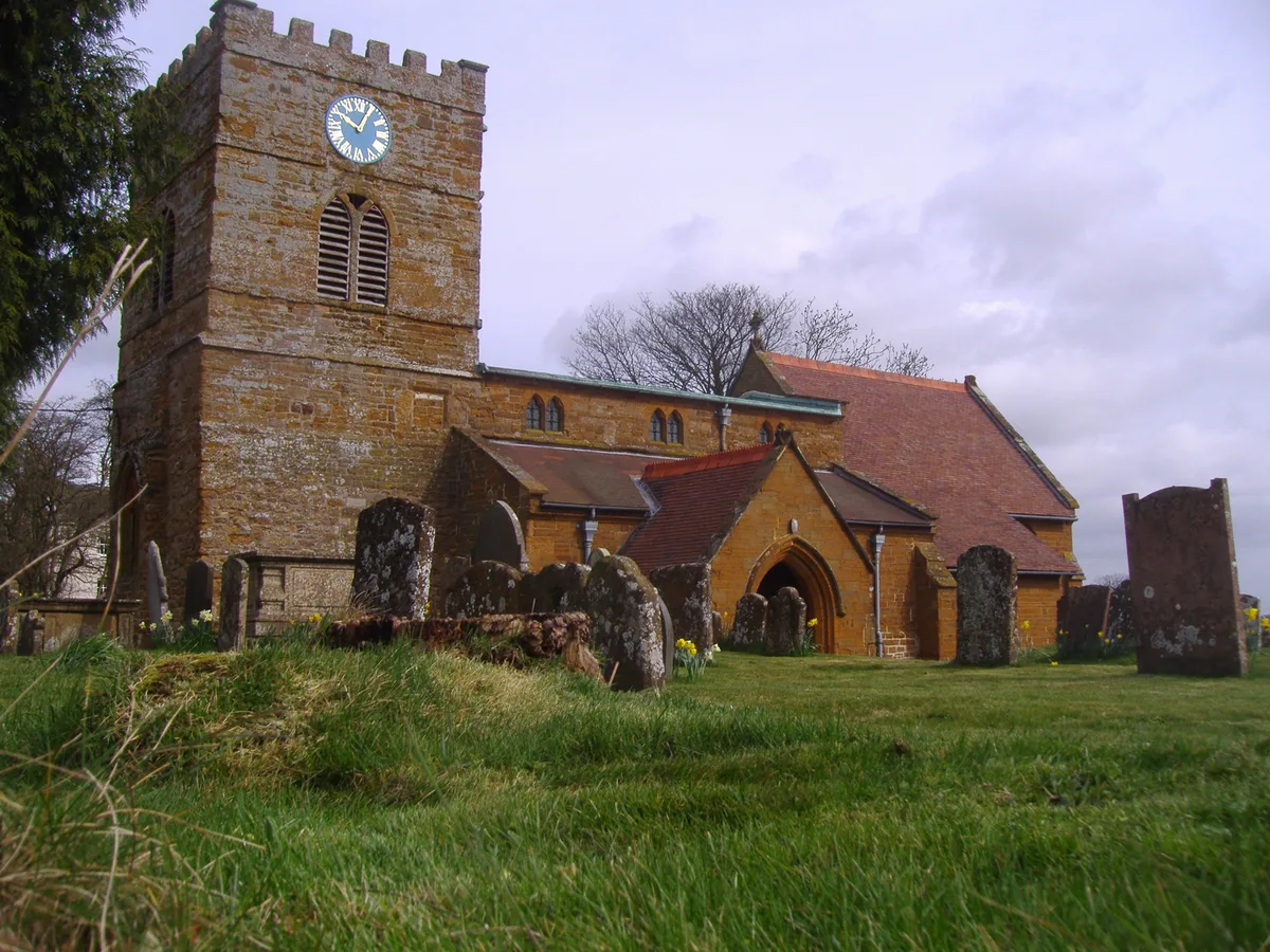
Whilton
Towns & cities · 2.3 km

The Hall
Historic houses · 2.6 km

Borough Hill 2
Vineyards · 2.7 km
Nearby
📷 3Historic bridges · East Midlands
Bridge Number 14 Over Grand Union Canal
Bridge Number 14 Over Grand Union Canal — Grade II listed building-listed bridge in england-west-midlands, United Kingdom.
📷 3Canal locks · East Midlands
Whilton Locks
Whilton Locks — flight of seven locks on the Grand Union Canal near Daventry, in the county of Northamptonshire, England.
📷 3Historic bridges · East Midlands
Grand Union Canal Long Buckby Wharf Bridge Number 12
Grand Union Canal Long Buckby Wharf Bridge Number 12 — Grade II listed building-listed bridge in england-west-midlands, United Kingdom.
Flagship📷 5Towns & cities · East Midlands
Norton
Norton — village and civil parish in Northamptonshire, UK.
📷 3Historic churches · East Midlands
Church of All Saints
Church of All Saints — historic church in Norton, Daventry, Northamptonshire, England, UK.
📷 3Historic bridges · East Midlands
Grand Union Canal Bridge Number 10
Grand Union Canal Bridge Number 10 — Grade II listed building-listed bridge in england-west-midlands, United Kingdom.
Where to eat & stay near Bannaventa
Places to stay
 📷 5
📷 5B&Bs · East Midlands
Murcott Mill Farmhouse B&B
Murcott Mill Farmhouse B&B — a bed-and-breakfast in england west midlands.
 📷 5
📷 5B&Bs · East Midlands
Low Thatch Cottage B&B
Low Thatch Cottage B&B — a bed-and-breakfast in england west midlands.
 📷 5
📷 5Hotels · East Midlands
Fawsley Hall Hotel & Spa
Fawsley Hall Hotel & Spa — a hotel in england west midlands. 4-star. Brand: Handpicked Hotels.
 📷 5
📷 5 📷 5
📷 5Caravan parks · South East England
The Limes Caravan Park
The Limes Caravan Park — a caravan park in england west midlands.
 📷 5
📷 5Caravan parks · South East England
Gayton Marina Caravan Park
Gayton Marina Caravan Park — a caravan park in england west midlands.
Places to eat & drink
 📷 5
📷 5Historic pubs · East Midlands
The Lion And Lamb Public House
The Lion And Lamb Public House in England West Midlands, United Kingdom.
 📷 5📷 5
Historic pubs · East Midlands
Red Lion Public House And Attached Barn
Red Lion Public House And Attached Barn in England West Midlands, United Kingdom.
 📷 5
📷 5Historic pubs · East Midlands
The Fox And Hounds Public House
The Fox And Hounds Public House in England West Midlands, United Kingdom.
 📷 5
📷 5Historic pubs · East Midlands
The Bakers Arms Public House
The Bakers Arms Public House in England West Midlands, United Kingdom.
 📷 5
📷 5Historic pubs · West Midlands
The Rose Public House
The Rose Public House in England West Midlands, United Kingdom.
More places in this region
 📷 3
📷 3Hill forts · East Midlands
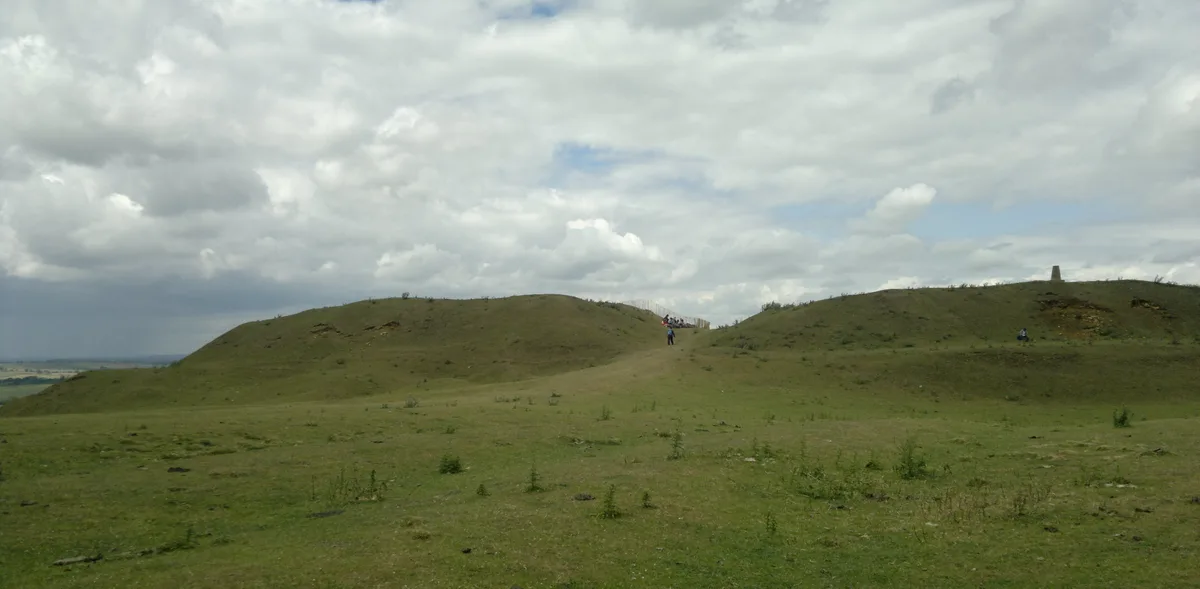
Burrough Hill
Burrough Hill — Iron Age hill fort in Leicestershire, England, UK.
 📷 5
📷 5Hill forts · East Midlands
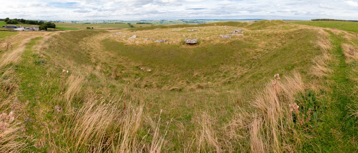
Arbor Low
Arbor Low — Neolithic henge monument.
 📷 5
📷 5Hill forts · East Midlands
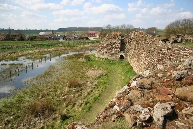
Bolingbroke Castle
Bolingbroke Castle — castle in Bolingbroke, England.
 📷 3
📷 3Hill forts · East Midlands
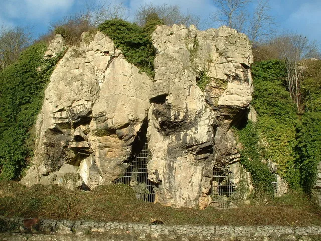
Creswell Crags
Creswell Crags — limestone gorge on the border between Derbyshire and Nottinghamshire, England.
Frequently asked questions
- Where is Bannaventa?
- Bannaventa is in the East Midlands, United Kingdom (postcode NN11 2EH), in the parish of Whilton.
- What is Bannaventa?
- Bannaventa — settlement in Northamptonshire, England.
- How do I get to Bannaventa?
- The nearest railway station is Long Buckby, about 2.4 km away. The nearest town is Norton. Drivers can use postcode NN11 2EH.
- Is Bannaventa a listed building?
- Bannaventa is officially recognised as scheduled monument listed.
- Is Bannaventa free to visit?
- Yes, Bannaventa is free to enter.
- How do I get to Bannaventa?
- The nearest railway station is Long Buckby, about 2.4 km away. Drivers can navigate to postcode NN11 2EH.