Natural landmarks · Northern Ireland
Ballinlea Upper
In or near Ballintoy.
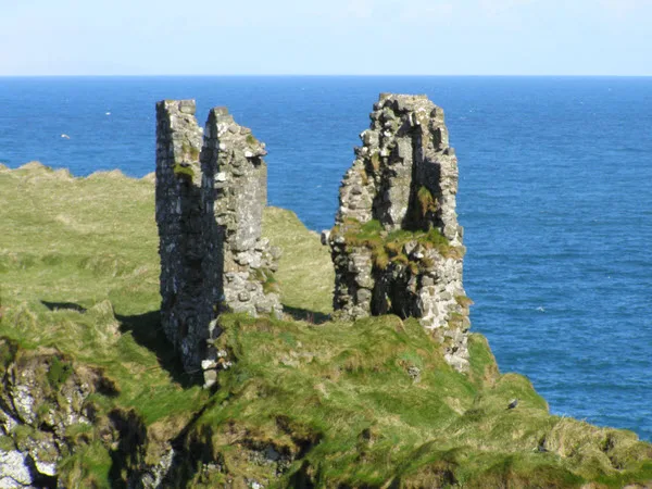
Ballinlea Upper in Northern Ireland, United Kingdom.

Willie Duffin — CC BY-SA 2.0 via Wikimedia Commons licence
Plan your visit
- Typical visit
- 1 h–2 h
- Free entry
- Dog-friendly
About
Ballinlea Upper is a place of interest in Northern Ireland, United Kingdom — drawn from open-data sources for visitor reference. See the linked Wikipedia article for the full description.
Photo gallery
From the Wikipedia article
Ballinlea Upper is a townland in County Antrim, Northern Ireland, near to Straid. It is situated in the historic barony of Cary and the civil parish of Ballintoy and covers an area of 280 acres The name derives from the Irish: Baile an Leagha (town of the physician). The population of the townland decreased during the 19th century:
Excerpt from Wikipedia under CC BY-SA 4.0. See the source article linked in Sources below.
- Coordinates
- 55.1978, -6.3680
- District
- Causeway Coast and Glens
- Postcode
- BT54 6NW
- Parliamentary constituency
- North Antrim
Sources
- wikidata: Q4851757 (CC0)
- wikipedia: Ballinlea Upper (CC BY-SA 4.0)
Other places nearby

Chambered Grave
Archaeological sites · 2.3 km

Straid
Villages · 2.6 km

Lannimore Hill
Mountains & hills · 3.1 km
Lannimore Hill
Mountains & hills · 3.1 km

Cosy Cottage on the Causeway coast and Glens
Hotels · 3.2 km
Dunseverick Castle
Castles · 4.1 km

Ballintoy Demesne
Natural landmarks · 4.1 km

Ballinlea Road
Historic bridges · 4.1 km

Moyarget
Villages · 4.1 km
North Antrim Coast
Wildlife reserves · 4.2 km

Glenmore Camping
Campsites · 4.3 km

Sheep Island View Hostel
Hostels · 4.3 km
Nearby
📷 3Archaeological sites · Northern Ireland
Chambered Grave
Chambered Grave — a archaeological in northern-ireland, United Kingdom.
📷 5📷 5Mountains & hills · Northern Ireland
Lannimore Hill
Lannimore Hill — mountain in northern ireland. Elevation: 207.00 m.
📷 5Mountains & hills · Northern Ireland
Lannimore Hill
Lannimore Hill — a hill or mountain in northern ireland.
📷 2Hotels · Northern Ireland
Cosy Cottage on the Causeway coast and Glens
Cosy Cottage on the Causeway coast and Glens — a hotel in northern ireland. 3-star.
📷 3Castles · Northern Ireland
Dunseverick Castle
Dunseverick Castle — castle near Dunseverick, Northern Ireland.
Where to eat & stay near Ballinlea Upper
Places to stay
📷 2Hotels · Northern Ireland
Cosy Cottage on the Causeway coast and Glens
Cosy Cottage on the Causeway coast and Glens — a hotel in northern ireland. 3-star.
📷 5📷 5Hostels · Northern Ireland
Sheep Island View Hostel
Sheep Island View Hostel — a hostel in northern ireland.
 📷 5
📷 5Hostels · Northern Ireland
White Park Bay Youth Hostel
White Park Bay Youth Hostel — a hostel in northern ireland.
 📷 5
📷 5Campsites · Northern Ireland
Craig House Campsite
Craig House Campsite — a campsite in northern ireland. Brand: Camping and Caravanning Club.
 📷 2
📷 2Caravan parks · Northern Ireland
Charlie's Hideaway Camping & Caravanning
Charlie's Hideaway Camping & Caravanning — a caravan park in northern ireland.
Places to eat & drink
 📷 7
📷 7Historic pubs · Northern Ireland
House of McDonnell
House of McDonnell in Northern Ireland, United Kingdom.
More natural landmarks in this region
 Flagship📷 4
Natural landmarks · Northern Ireland
Lough Erne
Lough Erne — lake in County Fermanagh, Northern Ireland, UK.
 Flagship📷 4
Natural landmarks · Northern Ireland
Lough Neagh
Lough Neagh — large lake in Northern Ireland.
 📷 3
📷 3Natural landmarks · Northern Ireland
Ballysaggart Lough
Ballysaggart Lough — lake in the United Kingdom.
 📷 5
📷 5Natural landmarks · Northern Ireland
Belmore Mountain
Belmore Mountain — mountain in the United Kingdom.
Frequently asked questions
- Where is Ballinlea Upper?
- Ballinlea Upper is in Northern Ireland, United Kingdom (postcode BT54 6NW).
- What is Ballinlea Upper?
- Ballinlea Upper in Northern Ireland, United Kingdom.
- How do I get to Ballinlea Upper?
- Drivers can use postcode BT54 6NW.
- Is Ballinlea Upper free to visit?
- Yes, Ballinlea Upper is free to enter.
- How do I get to Ballinlea Upper?
- Drivers can navigate to postcode BT54 6NW. It sits within the North Antrim parliamentary constituency.