
Historic bridges · Northern Ireland
Ballinlea Road
In or near Armoy.
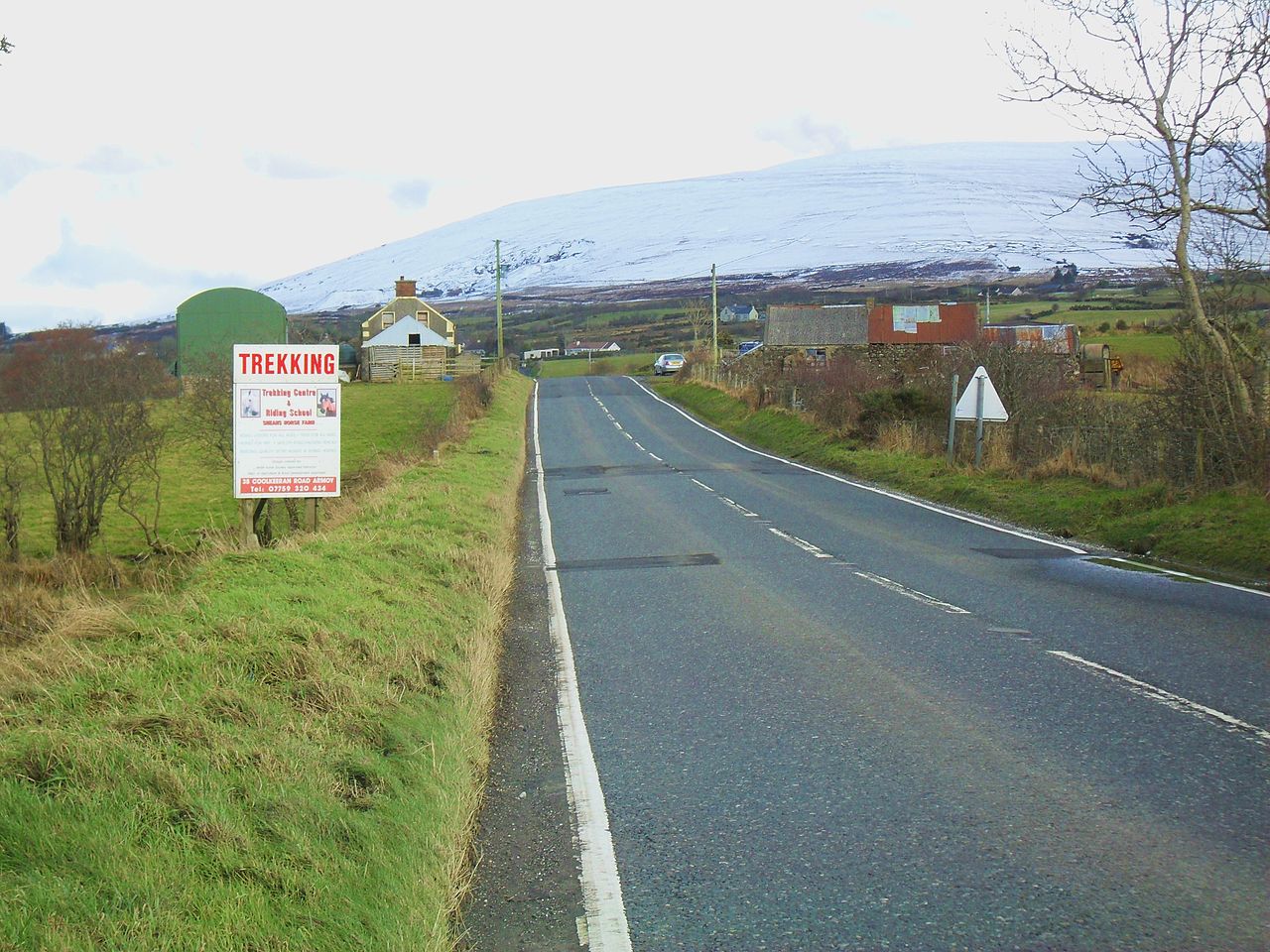
Ballinlea Road is a historic bridge in the United Kingdom.

Jonathan Wilkins — CC BY-SA 2.0 via Wikimedia Commons licence

Plan your visit
- Typical visit
- 15 min–30 min
- Free entry
- Dog-friendly
About
Ballinlea Road is a named historic bridge in the United Kingdom. Coordinates: 55.1613°, -6.3766°. This entry is part of The Great Britain Guide, a free, ad-free, open-data tourist directory.
Photo gallery
See it from the streetimagery from 2019
Imagery © Mapillary contributors, CC BY-SA 4.0
Place summary
Ballinlea Road is a bridge located in Northern Ireland, postcode BT53. It serves as a local thoroughfare, connecting various points in the region. The bridge's specific architectural features and historical significance are not detailed.
AI-generated from the structured facts on this page (operator, designation, listing, era). Not a substitute for visiting.
- Coordinates
- 55.1613, -6.3766
- District
- Causeway Coast and Glens
- Postcode
- BT53 8TY
- Parliamentary constituency
- North Antrim
Sources
- osm: w33089172 (ODbL)
Other places nearby

Chambered Grave
Archaeological sites · 1.9 km

Charlie's Hideaway Camping & Caravanning
Caravan parks · 2.5 km

Mullaghdubh
Natural landmarks · 2.6 km

Moyarget
Villages · 2.8 km

Moss-Side
Natural landmarks · 2.8 km

Straid
Villages · 2.9 km

Dark Hedges
Natural landmarks · 3.0 km

The Dark Hedges
Natural landmarks · 3.0 km

Gracehill railway station
Natural landmarks · 3.0 km

Gracehill
Villages · 3.1 km
Balleny
Natural landmarks · 3.6 km

Armoy railway station
Natural landmarks · 4.1 km
Nearby
📷 3Archaeological sites · Northern Ireland
Chambered Grave
Chambered Grave — a archaeological in northern-ireland, United Kingdom.
📷 2Caravan parks · Northern Ireland
Charlie's Hideaway Camping & Caravanning
Charlie's Hideaway Camping & Caravanning — a caravan park in northern ireland.
📷 2Natural landmarks · Northern Ireland
Mullaghdubh
Mullaghdubh in Northern Ireland, United Kingdom.
📷 5📷 4📷 5Where to eat & stay near Ballinlea Road
Places to stay
📷 2Caravan parks · Northern Ireland
Charlie's Hideaway Camping & Caravanning
Charlie's Hideaway Camping & Caravanning — a caravan park in northern ireland.
 📷 2
📷 2Hotels · Northern Ireland
Cosy Cottage on the Causeway coast and Glens
Cosy Cottage on the Causeway coast and Glens — a hotel in northern ireland. 3-star.
 📷 5
📷 5 📷 5
📷 5Hostels · Northern Ireland
White Park Bay Youth Hostel
White Park Bay Youth Hostel — a hostel in northern ireland.
 📷 3
📷 3Campsites · Northern Ireland
Fairhead Caravan Park
Fairhead Caravan Park — a campsite in northern ireland.
 📷 5
📷 5Hostels · Northern Ireland
Sheep Island View Hostel
Sheep Island View Hostel — a hostel in northern ireland.
Places to eat & drink
 📷 7
📷 7Historic pubs · Northern Ireland
House of McDonnell
House of McDonnell in Northern Ireland, United Kingdom.
More bridges in this region
 📷 3
📷 3Historic bridges · Northern Ireland
Albert Bridge
Albert Bridge is a historic bridge in the United Kingdom.
 📷 3
📷 3Historic bridges · Northern Ireland
Antrim Road
Antrim Road is a historic bridge in the United Kingdom.
 📷 3
📷 3Historic bridges · Northern Ireland
Arthur Road
Arthur Road is a historic bridge in the United Kingdom.
 📷 4
📷 4Historic bridges · Northern Ireland
Butcher Gate
Butcher Gate is a historic bridge in the United Kingdom.
Frequently asked questions
- Where is Ballinlea Road?
- Ballinlea Road is in Northern Ireland, United Kingdom (postcode BT53 8TY).
- What is Ballinlea Road?
- Ballinlea Road is a historic bridge in the United Kingdom.
- How do I get to Ballinlea Road?
- Drivers can use postcode BT53 8TY.
- Is Ballinlea Road free to visit?
- Yes, Ballinlea Road is free to enter.
- How do I get to Ballinlea Road?
- Drivers can navigate to postcode BT53 8TY. It sits within the North Antrim parliamentary constituency.