
Hill forts · South West England
Badbury Rings
In or near Tarrant Keyneston.
Badbury Rings — Iron Age hill fort in east Dorset, England, UK.

Wikimedia Commons contributors — see linked file page for photographer and licence licence

Plan your visit
- Typical visit
- 1 h–2 h
- Free entry
- Family-friendly
- Dog-friendly
- Limited wheelchair access
About
Badbury Rings is a hill fort in the United Kingdom. Heritage designation: scheduled monument. Owned by National Trust. Managed by National Trust. Wikidata describes it as: "Iron Age hill fort in east Dorset, England, UK". Coordinates: 50.8264°, -2.0523°.
Photo gallery
Summary from the official site
Badbury Rings is an ancient hill fort located near Wimborne Minster, Dorset. Visitors can explore the historic earthworks and enjoy scenic walks through the surrounding countryside.
Read more on the official property page.
Protected designations
- Site of Special Scientific Interest: River Avon System SSSI
- Area of Outstanding Natural Beauty: Dorset
- Area of Outstanding Natural Beauty: Cranborne Chase & West Wiltshire Downs
Designations sourced from Natural England open data under OGL v3.
From the Wikipedia article
Badbury Rings is an Iron Age hill fort and Scheduled Monument in east Dorset, England. It was in the territory of the Durotriges. In the Roman era a temple was located immediately west of the fort, and there was a Romano-British town known as Vindocladia a short distance to the south-west.
Excerpt from Wikipedia under CC BY-SA 4.0. See the source article linked in Sources below.
Background
Description
The site, on the dip slope of Cranborne Chase, is now part of the Kingston Lacy estate owned by the National Trust since 1982, with free access. The hillfort has been a scheduled ancient monument since 1924. On a clear day, the Isle of Wight is visible from the top.
Sourced from Wikipedia under CC BY-SA 4.0.
- Coordinates
- 50.8264, -2.0523
- District
- Dorset
- Parish
- Pamphill
- Postcode
- BH21 5DD
- Parliamentary constituency
- Mid Dorset and North Poole
- Phone
- +44 1202 883402
- Opening
- Daily 10:30am–3pm; car park and garden open 9:30am–5pm.
- Official site
- www.nationaltrust.org.uk
Sources
- wikidata: Q798831 (CC0)
- wikipedia: Badbury Rings (CC BY-SA 4.0)
- commons: Badbury Rings, Shapwick, Dorset.jpg (CC BY-SA 4.0)
Other places nearby

Badbury Rings
Mountains & hills · 0.0 km

Straw Barrow
Burial mounds & barrows · 1.8 km

Straw Barrow
Archaeological sites · 1.8 km

Vindocladia Roman Fort
Archaeological sites · 1.8 km

W.J.M Richards
Memorials & monuments · 2.0 km

Vindocladia Roman Town
Archaeological sites · 2.1 km

Site of the medieval manor house and associated buildings of Kingston Lacy
Manor houses · 2.1 km

Kingston Lacy
Manor houses · 2.2 km

Obelisk 330 Metres South West Of Kingston Lacy House
Forts · 2.3 km

Philae Obelisk
Memorials & monuments · 2.3 km

Bradford Barrow
Burial mounds & barrows · 2.4 km

Bradford Barrow
Archaeological sites · 2.4 km
Nearby
📷 5Mountains & hills · South West England
Badbury Rings
Badbury Rings — mountain in england south east. Elevation: 100 m.
📷 5Burial mounds & barrows · South West England
Straw Barrow
Straw Barrow — a burial mound in england-south-east, United Kingdom.
📷 5Archaeological sites · South West England
Straw Barrow
Straw Barrow — archaeological in england south east.
📷 5Archaeological sites · South West England
Vindocladia Roman Fort
Vindocladia Roman Fort — a archaeological in england-south-east, United Kingdom.
📷 5Memorials & monuments · South West England
W.J.M Richards
W.J.M Richards — a memorial in england-south-east, United Kingdom.
📷 5Archaeological sites · South West England
Vindocladia Roman Town
Vindocladia Roman Town — a archaeological in england-south-east, United Kingdom.
Where to eat & stay near Badbury Rings
Places to stay
 📷 5
📷 5Campsites · South West England
Crawford Farm Camping Field
Crawford Farm Camping Field — a campsite in england south east.
 📷 5
📷 5Campsites · South West England
Little Hundreds Campsite
Little Hundreds Campsite — a campsite in england south east.
 📷 5
📷 5Campsites · South West England
Farrs Meadow
Farrs Meadow — a campsite in england south east.
 📷 5
📷 5Campsites · South West England
Wilksworth Farm C.P.
Wilksworth Farm C.P. — a campsite in england south east.
 📷 5
📷 5Campsites · South West England
Charris Car.& Camp. Park
Charris Car.& Camp. Park — a campsite in england south east.
📷 5Caravan parks · South West England
Springfield Touring Park
Springfield Touring Park — a caravan park in england south east.
Places to eat & drink
 📷 5
📷 5Historic pubs · South West England
The Vine, Pamphill
The Vine, Pamphill in England South West, United Kingdom.
 📷 7
📷 7Historic pubs · South West England
The Green Man Inn
The Green Man Inn in England South West, United Kingdom.
 📷 7
📷 7Historic pubs · South West England
The Man in the Wall
The Man in the Wall in England South West, United Kingdom.
 📷 5
📷 5Historic pubs · South West England
Albion Hotel And Chandlers Wine Shop
Albion Hotel And Chandlers Wine Shop in England South West, United Kingdom.
 📷 5
📷 5Historic pubs · South West England
The Rising Sun
The Rising Sun in England South West, United Kingdom.
 📷 7
📷 7Restaurants · South West England
Three Kings
Three Kings — a restaurant in england south east.
More places run by National Trust
 Flagship📷 10
Parks · London
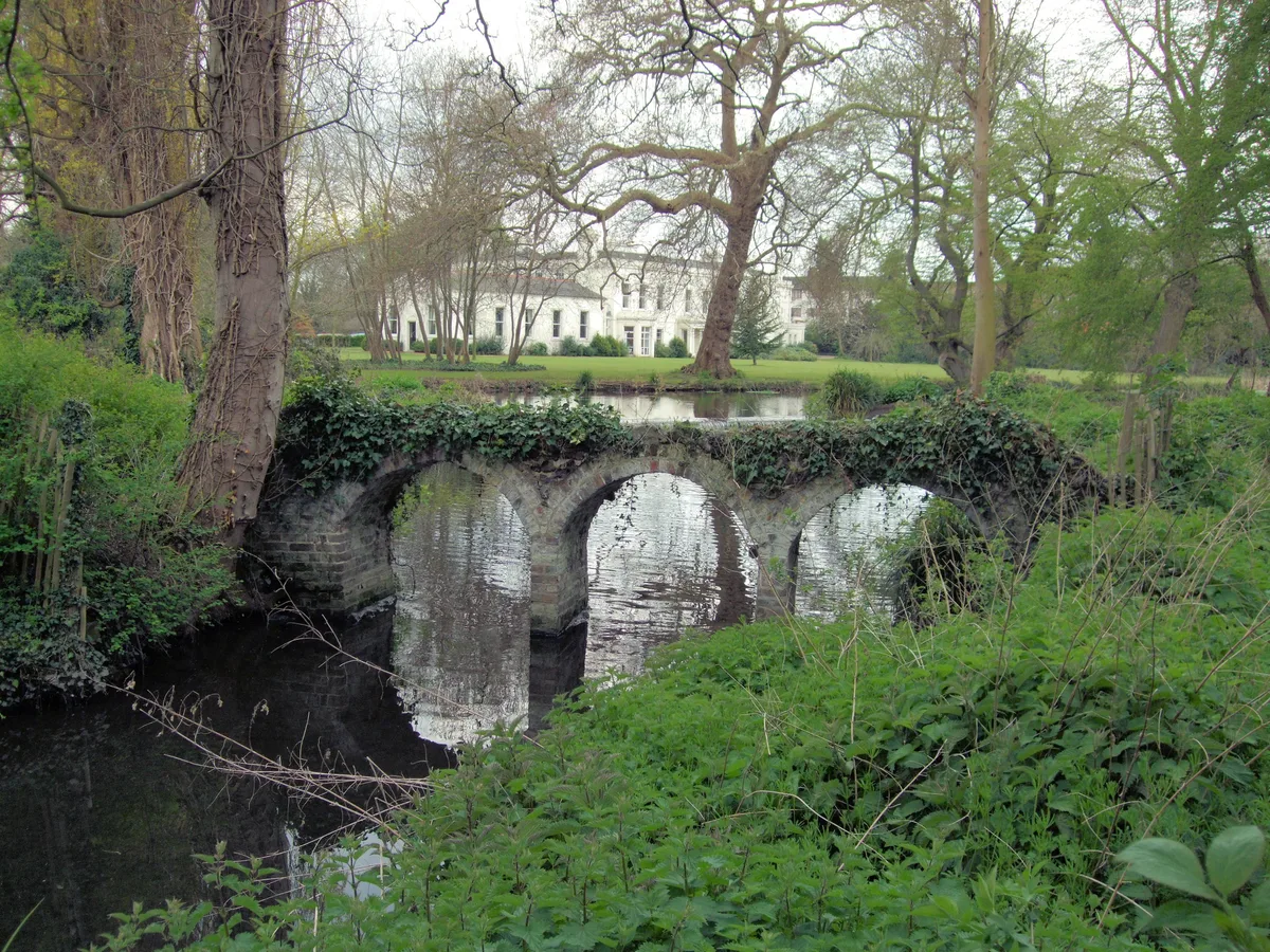
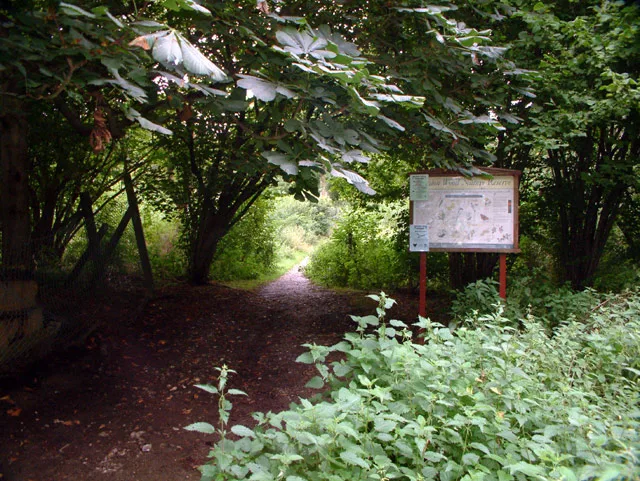
Morden Hall Park
Morden Hall Park — park in Morden, London.
 Flagship📷 10
 📷 5
📷 5Gardens · London
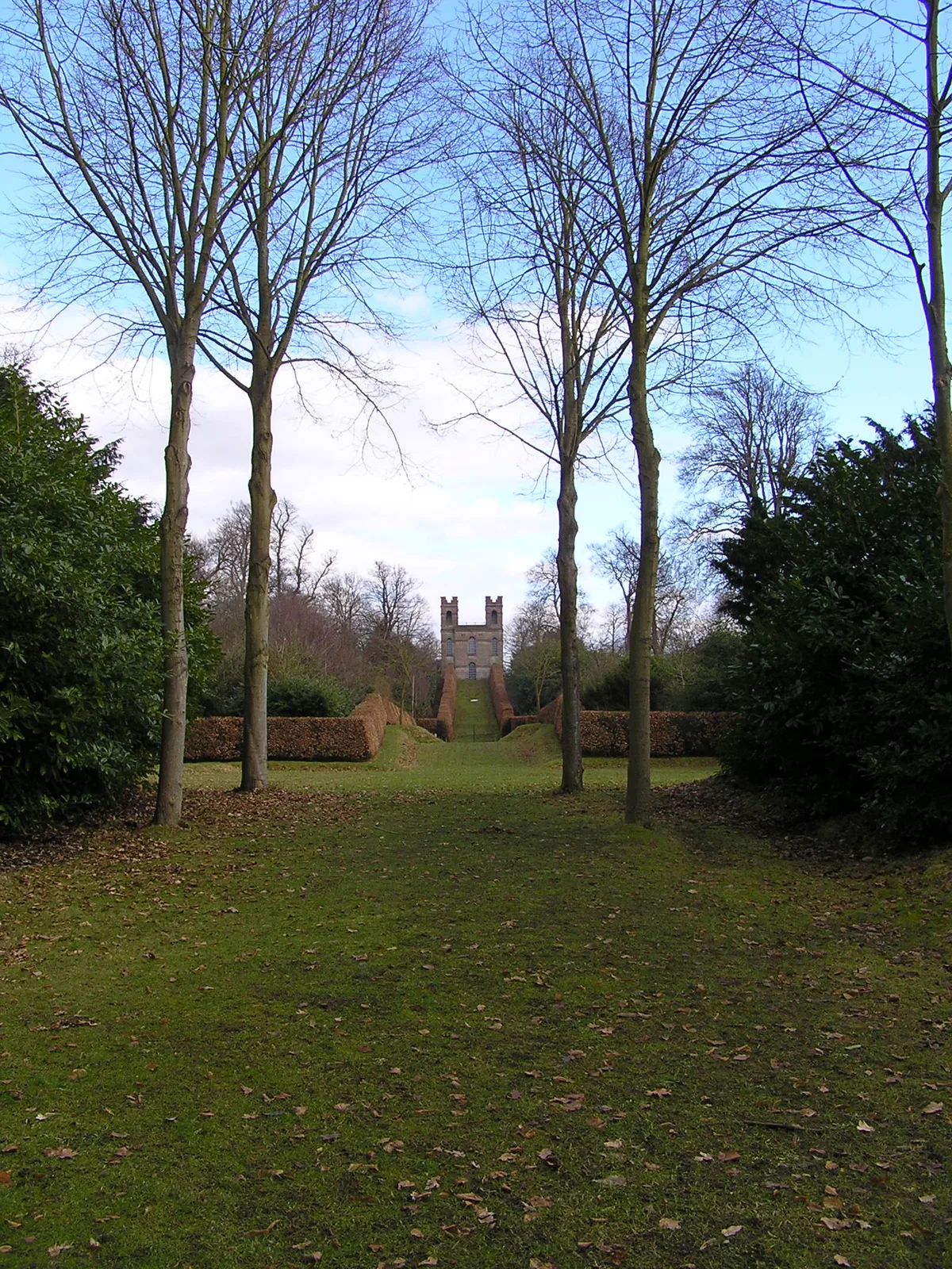
Claremont Landscape Garden
Claremont Landscape Garden — historic garden in Surrey, England, UK.
 📷 5
📷 5Stately homes · London
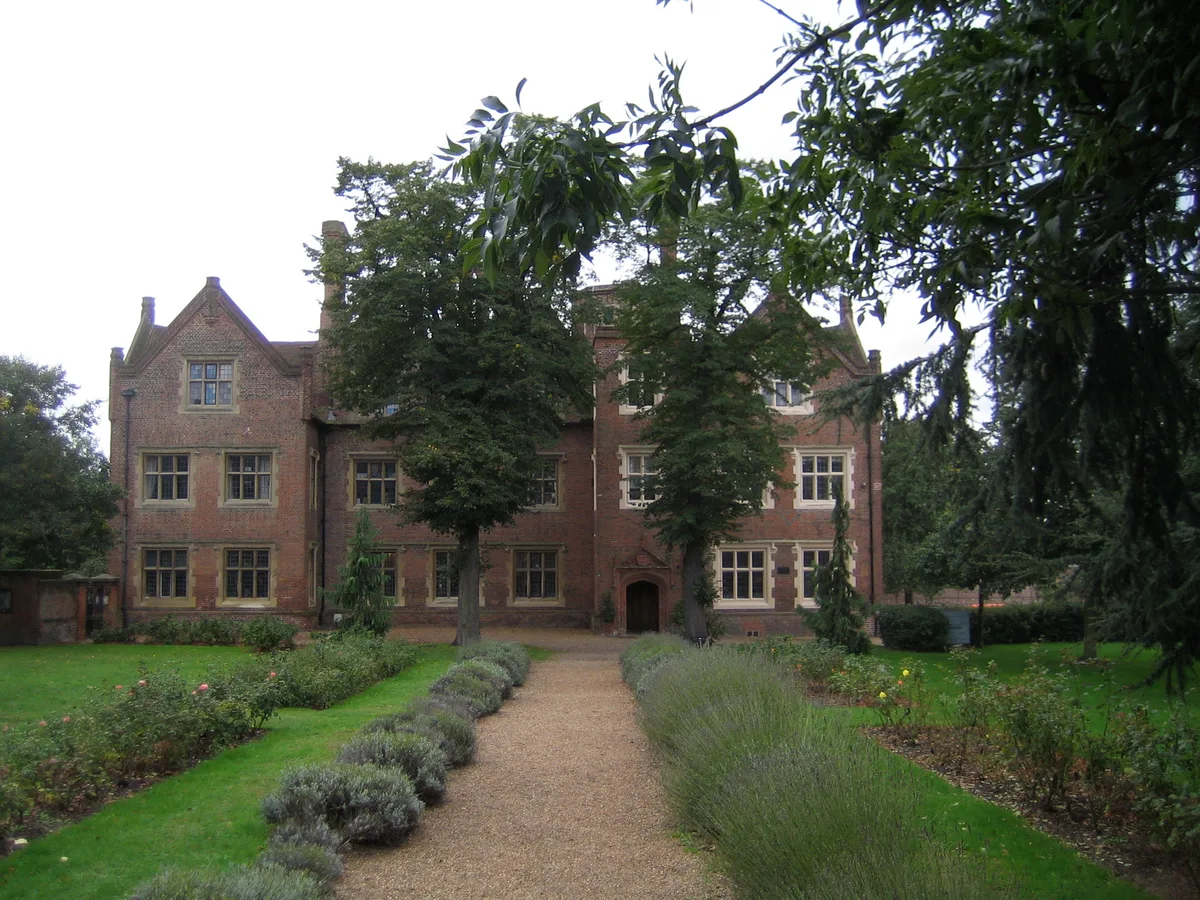
Eastbury Manor House
Eastbury Manor House — Grade I listed historic house museum in London Borough of Barking and Dagenham, United Kingdom.
More places in this region
 Flagship📷 10
Hill forts · South West England
Maiden Castle
Maiden Castle — Iron Age hill fort in Dorset, England, UK.
 📷 5
📷 5Hill forts · South West England
All Cannings Cross
All Cannings Cross — archaeological site in All Cannings, Wiltshire, England, UK.
 📷 5
📷 5Hill forts · South West England
Aquae Sulis
Aquae Sulis — town in Roman Britain on the site of Bath, England.
 📷 5
📷 5Hill forts · South West England
Aston Valley Barrow Cemetery
Aston Valley Barrow Cemetery — group of Bronze Age burial mounds in England.
Frequently asked questions
- Where is Badbury Rings?
- Badbury Rings is in South-East England, United Kingdom (postcode BH21 5DD), in the parish of Pamphill.
- What is Badbury Rings?
- Badbury Rings — Iron Age hill fort in east Dorset, England, UK.
- How do I get to Badbury Rings?
- Drivers can use postcode BH21 5DD.
- Who runs Badbury Rings?
- Badbury Rings is operated by National Trust.
- Is Badbury Rings a listed building?
- Badbury Rings is officially recognised as scheduled monument listed.
- Is Badbury Rings a protected site?
- Yes — Badbury Rings is part of the River Avon System SSSI Site of Special Scientific Interest and the Dorset National Landscape (AONB).
- Is Badbury Rings free to visit?
- Yes, Badbury Rings is free to enter.
- How do I get to Badbury Rings?
- Drivers can navigate to postcode BH21 5DD. It sits within the Mid Dorset and North Poole parliamentary constituency.