
Public art & sculpture · South East England
B52
In or near Molash.
B52 — a public art in england-south-east, United Kingdom.

David Anstiss — CC BY-SA 2.0 via Wikimedia Commons licence

Plan your visit
- Typical visit
- 1 h–2 h
- Nearest railway station
- Wye · 3.6 km
- Free entry
- Dog-friendly
Getting there & planning your visit
To visit B52, the nearest railway station is Wye, located 3.6 km away. The postcode for sat-nav is TN25 4AP, and entry is free.
About
B52 is a public art located in england-south-east, United Kingdom. Sourced from OpenStreetMap (ODbL licence); see local listings for visitor information, opening hours and admission details.
Photo gallery
Protected designations
- Area of Outstanding Natural Beauty: Kent Downs
Designations sourced from Natural England open data under OGL v3.
From the Wikipedia article
The Boeing B-52 Stratofortress is an American nuclear-capable subsonic jet-powered strategic bomber. The B-52 was designed and built by Boeing, which has continued to provide support and upgrades. It has been operated by the United States Air Force (USAF) since 1955 and was flown by NASA from 1959 to 2007. The bomber can carry up to 70,000 pounds (32,000 kg) of weapons and has a typical combat range of around 8,800 miles (14,200 km) without aerial refueling. After Boeing won the initial contract in June 1946, the aircraft's design evolved from a straight-wing aircraft powered by six turboprop engines to the final prototype YB-52 with eight turbojet engines and swept wings. The B-52 took its maiden flight in April 1952. Built to carry nuclear weapons for Cold War deterrence missions, the B-52 Stratofortress replaced the Convair B-36 Peacemaker. The bombers flew under the Strategic Air Command (SAC) until it was disestablished in 1992 and its aircraft absorbed into the Air Combat Command (ACC); in 2010, all B-52s were transferred to the new Air Force Global Strike Command (AFGSC). The B-52's official name Stratofortress is rarely used; informally, the aircraft is commonly referred to as the BUFF (Big Ugly Fat Fucker/Fella). Superior performance at high subsonic speeds and relatively low operating costs have kept them in service despite the introduction of more advanced strategic bombers, such as the Mach-2+ Convair B-58 Hustler, the variable-geometry Rockwell B-1 Lancer, and the stealth Northrop Grumman B-2 Spirit. The B-52 has used conventional munitions in the Vietnam War, Gulf War, NATO bombing of Yugoslavia, Iraq War, war against the Islamic State, war in Afghanistan, and 2026 Iran war. In its current nuclear role, the B-52H is assigned only the AGM-86B cruise missile. Conventionally, it can employ the AGM-142, AGM-154, AGM-158 air-to-ground weapons, and a variety of Joint Direct Attack Munitions, and in maritime roles can employ Harpoon anti-ship missiles and Quickstrike naval mines. As a mother ship, it has deployed the D-21 reconnaissance drone, and test-launched the X-15, X-24, X-38, and X-43 experimental aircraft and various hypersonic missiles. As of 2024, the US Air Force has 76 B-52s: 58 operated by active forces (2nd Bomb Wing and 5th Bomb Wing), 18 by reserve forces (307th Bomb Wing), and about 12 in long-term storage at the Davis-Monthan AFB Boneyard. The operational aircraft received upgrades between 2013 and 2015 and are expected to serve into the 2050s. The B-52H is the only operational variant, scheduled to be upgraded as the B-52J by 2030.
Excerpt from Wikipedia under CC BY-SA 4.0. See the source article linked in Sources below.
- Coordinates
- 51.2133, 0.9022
- County
- Kent
- District
- Ashford
- Parish
- Boughton Aluph
- Postcode
- TN25 4AP
- Parliamentary constituency
- Weald of Kent
- Nearest railway station
- Wye — 3.6 km
Sources
- osm: node/1359919169 (ODbL)
- wikipedia: B52 (CC BY-SA 4.0)
Other places nearby

Play Sculpture and Picnic Furniture
Public art & sculpture · 0.4 km

The Last Eleven Years
Public art & sculpture · 0.5 km

Walkway
Public art & sculpture · 0.6 km

Untitled Artwork
Public art & sculpture · 0.7 km
Ring
Public art & sculpture · 1.0 km
Coppice Cloud Chamber
Public art & sculpture · 1.1 km
The Miracle of The Legs
Public art & sculpture · 1.2 km
Score for a Hole in The Ground
National landscapes (AONB) · 1.2 km
Via Lucem Continues
Public art & sculpture · 1.3 km

Super Kingdom
Public art & sculpture · 1.3 km
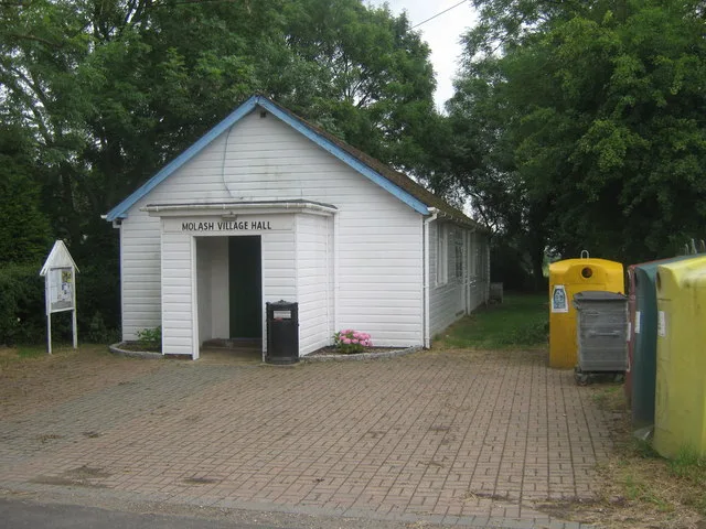
Molash
Towns & cities · 1.5 km

Boughton Court
Literary houses · 1.9 km
Nearby
📷 5Public art & sculpture · South East England
Play Sculpture and Picnic Furniture
Play Sculpture and Picnic Furniture — a public art in england-south-east, United Kingdom.
📷 5Public art & sculpture · South East England
The Last Eleven Years
The Last Eleven Years — a public art in england-south-east, United Kingdom.
📷 5Public art & sculpture · South East England
Walkway
Walkway — a public art in england-south-east, United Kingdom.
📷 5Public art & sculpture · South East England
Untitled Artwork
Untitled Artwork — a public art in england-south-east, United Kingdom.
📷 5Public art & sculpture · South East England
Ring
Ring — a public art in england-south-east, United Kingdom.
📷 5Public art & sculpture · South East England
Coppice Cloud Chamber
Coppice Cloud Chamber — a public art in england-south-east, United Kingdom.
Where to eat & stay near B52
Places to stay
 📷 5
📷 5Campsites · South East England
Dunn Street Farm Campsite
Dunn Street Farm Campsite — a campsite in england south east.
 📷 5
📷 5 📷 5
📷 5Caravan parks · South East England
Kent Gliding Club Caravan Park
Kent Gliding Club Caravan Park — a caravan park in england south east.
 📷 5
📷 5Hotels · South East England
Holiday Inn Ashford - North
Holiday Inn Ashford - North — a hotel in england south east.
 📷 5
📷 5Campsites · South East England
Mystole Campsite
Mystole Campsite — a campsite in england south east.
 📷 5
📷 5Caravan parks · South East England
Sunnyside Farm Caravan Park
Sunnyside Farm Caravan Park — a caravan park in england south east.
Places to eat & drink
 📷 7
📷 7Historic pubs · South East England
The Tickled Trout
The Tickled Trout in England South East, United Kingdom.
 📷 5
📷 5Historic pubs · South East England
The New Flying Horse
The New Flying Horse in England South East, United Kingdom.
 📷 5
📷 5Restaurants · South East England
The White Horse
The White Horse — a restaurant in england south east.
 📷 7
📷 7Restaurants · South East England
The Woolpack
The Woolpack — a restaurant in england south east. Cuisine: british. Brand: Beefeater.
 📷 5
📷 5 📷 6
📷 6Historic pubs · South East England
King's Head Public House
King's Head Public House in England South East, United Kingdom.
More places in this region
 📷 5
📷 5Public art & sculpture · South East England
The Jurors
The Jurors — Public artwork (installation) by Hew Locke.
 📷 5
📷 5Public art & sculpture · South East England
The Woking Martian
The Woking Martian — a public art in england-london, United Kingdom.
 📷 5
📷 5Public art & sculpture · South East England
The Golf Ball
The Golf Ball — a public art in england-london, United Kingdom.
 📷 5
📷 5Public art & sculpture · South East England
Memorial to Alan Turing
Memorial to Alan Turing — a public art in england-london, United Kingdom.
Frequently asked questions
- Where is B52?
- B52 is in Kent, South-East England, United Kingdom (postcode TN25 4AP), in the parish of Boughton Aluph.
- What is B52?
- B52 — a public art in england-south-east, United Kingdom.
- How do I get to B52?
- The nearest railway station is Wye, about 3.6 km away. Drivers can use postcode TN25 4AP.
- Is B52 a protected site?
- Yes — B52 is part of the Kent Downs National Landscape (AONB).
- Is B52 free to visit?
- Yes, B52 is free to enter.
- How do I get to B52?
- The nearest railway station is Wye, about 3.6 km away. Drivers can navigate to postcode TN25 4AP.