
Stately homes · East of England
Aston Bury
In or near Knebworth.
Aston Bury — manor house in Aston, Hertfordshire, England, UK.

Wikimedia Commons contributors — see linked file page for photographer and licence licence

Plan your visit
- Typical visit
- 2 h–4 h
- Nearest railway station
- Knebworth · 3.0 km
- Family-friendly
- Limited wheelchair access
Getting there & planning your visit
To visit Aston Bury, the nearest railway station is Knebworth, which is approximately 3 km away. The postcode for sat-nav is SG2 7EH. Accessibility is limited for wheelchair users.
About
Aston Bury is a stately home in the United Kingdom. Heritage designation: Grade I listed building. Wikidata describes it as: "manor house in Aston, Hertfordshire, England, UK". Coordinates: 51.8790°, -0.1480°.
Photo gallery
Heritage listing
Aston Bury is a manor house near Aston, Hertfordshire, England. It is Grade I listed building. It was built in the mid 17th century, possibly by the Boteler family, restored in 1883 for Captain William Edward Freeman O'Brien and restored again in 1908-09 for Vernon A. Malcolmson. The house is now a luxury apartment block. The building consists of a long rectangular block in two storeys with cellars and attics and two large gabled stair wings at the rear. The ground floor walls are made of flint, banded with brick and with brick dressings. The first floor has timber framing, infilled and faced with brick.
From the Historic England List Entry under OGL v3.
From the Wikipedia article
Aston Bury is a manor house near Aston, Hertfordshire, England. It is Grade I listed building. It was built in the mid 17th century, possibly by the Boteler family, restored in 1883 for Captain William Edward Freeman O'Brien and restored again in 1908-09 for Vernon A. Malcolmson. The house is now a luxury apartment block. The building consists of a long rectangular block in two storeys with cellars and attics and two large gabled stair wings at the rear. The ground floor walls are made of flint, banded with brick and with brick dressings. The first floor has timber framing, infilled and faced with brick. The roof is steep and made of red tiles.
Excerpt from Wikipedia under CC BY-SA 4.0. See the source article linked in Sources below.
Background
History
Aston Bury manor belonged to the monks of St Mary, Reading when it was seized by the Crown at the Dissolution of the Monasteries and leased to Sir Philip Boteler of Watton-at-Stone, (High Sheriff of Hertfordshire in 1533 and 1540). The manor belonged to Sir Henry Cason, of Aston Bury, Birthdate: circa 1600, Death: after April 18, 1649. The manor then descended in the Boteler family until John Palmer Boteler sold it to Sir Thomas Rumbold. It then passed through various hands to Captain William Edward Freeman O'Brien, who sold it in 1907 to Mr. Vernon A. Malcolmson. Malcolmson died in 1948 and his son sold the house to Paul Petrocokino, a leading Member of Moral Re-Armament. In 1973…
Sourced from Wikipedia under CC BY-SA 4.0.
- Coordinates
- 51.8790, -0.1480
- County
- Hertfordshire
- District
- East Hertfordshire
- Parish
- Aston
- Postcode
- SG2 7EH
- Parliamentary constituency
- Stevenage
- Nearest railway station
- Knebworth — 3 km
Sources
- wikidata: Q4810948 (CC0)
- wikipedia: Aston Bury (CC BY-SA 4.0)
- commons: Aston Bury. - geograph.org.uk - 119995.jpg (CC BY-SA 4.0)
Other places nearby

Astonbury Wood
Wildlife reserves · 0.5 km
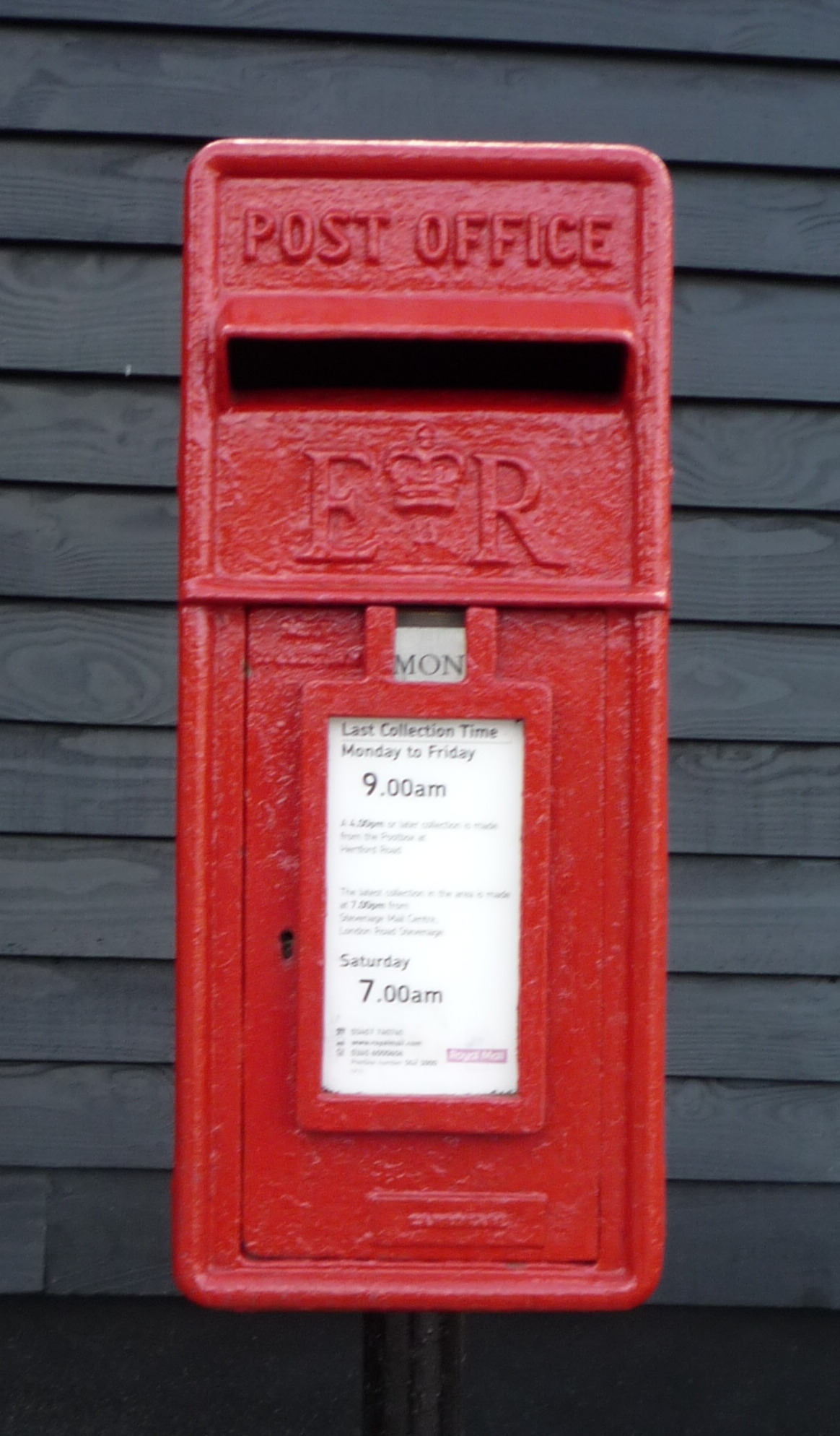
Chequers Inn
Historic pubs · 0.9 km

War Memorial on St Mary's Churchyard (70 Metres to East of Church)
Memorials & monuments · 1.0 km

The Pig And Whistle Public House
Historic pubs · 1.1 km

Ridlins Mire
Forests & woodlands · 1.3 km
Ridlins Mire
Wildlife reserves · 1.4 km

Harwood Park Crematorium
Cemeteries · 1.6 km
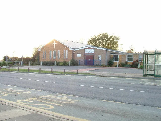
Longmeadow Evangelical Church
Historic churches · 1.8 km

Blue Hill Manor
Manor houses · 2.1 km
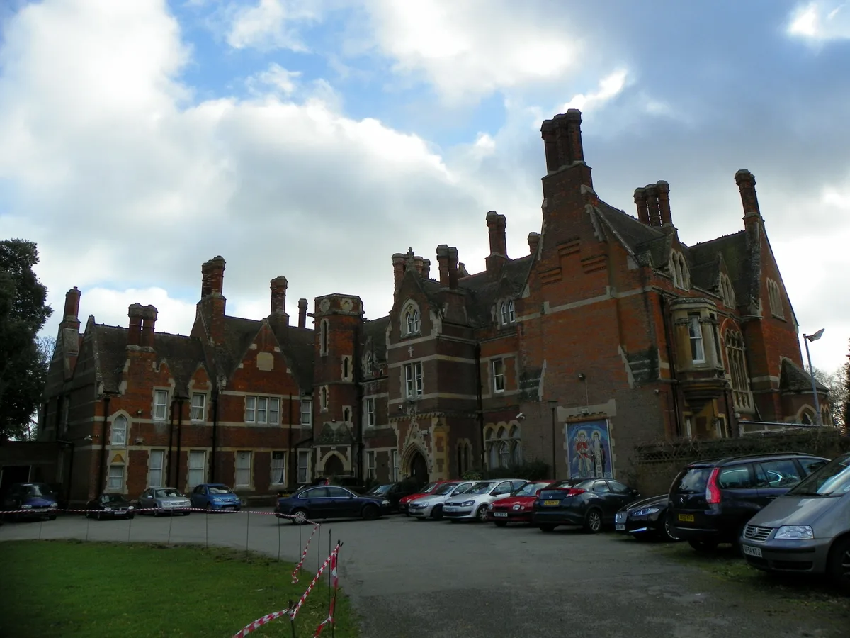
Shephall Manor
Stately homes · 2.3 km

Shephall
Villages · 2.4 km

The Heathcote School
Natural landmarks · 2.4 km
Nearby
📷 5Wildlife reserves · East of England
Astonbury Wood
Astonbury Wood — nature reserve in Hertfordshire, England.
📷 5📷 5Memorials & monuments · East of England
War Memorial on St Mary's Churchyard (70 Metres to East of Church)
War Memorial on St Mary's Churchyard (70 Metres to East of Church) — Grade II listed building-listed memorial in england-london, United Kingdom.
📷 5Historic pubs · East of England
The Pig And Whistle Public House
The Pig And Whistle Public House in England East, United Kingdom.
📷 5Forests & woodlands · East of England
Ridlins Mire
Ridlins Mire is a forest or woodland in the United Kingdom.
📷 5Wildlife reserves · East of England
Ridlins Mire
Ridlins Mire — nature reserve in Hertfordshire, England.
Where to eat & stay near Aston Bury
Places to stay
 📷 5
📷 5Campsites · East of England
Harmergreen Scout Camp Site
Harmergreen Scout Camp Site — a campsite in england london.
 📷 5
📷 5 📷 5
📷 5 📷 5
📷 5 📷 5
📷 5Hotels · East of England
Redcoats Farmhouse Hotel
Redcoats Farmhouse Hotel — a hotel in england london.
 📷 5
📷 5Hotels · East of England
Hanbury Manor
Hanbury Manor — a hotel in england london.
Places to eat & drink
📷 5📷 5Historic pubs · East of England
The Pig And Whistle Public House
The Pig And Whistle Public House in England East, United Kingdom.
 📷 5
📷 5Restaurants · East of England
The Tilbury
The Tilbury — a restaurant in england london.
 📷 5
📷 5Historic pubs · East of England
The Horns Public House
The Horns Public House in England East, United Kingdom.
 📷 5
📷 5Restaurants · East of England
Nando's
Nando's — a restaurant in england london. Cuisine: chicken;portuguese. Brand: Nando's.
 📷 5
📷 5Historic pubs · East of England
The White Lion Public House (On Corner Of Winters Lane)
The White Lion Public House (On Corner Of Winters Lane) in England East, United Kingdom.
More places in this region
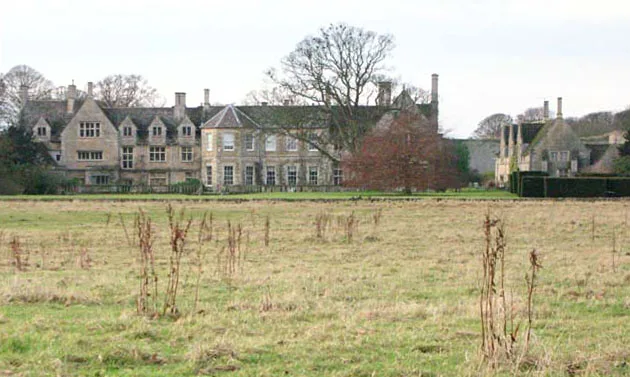 📷 5
📷 5Stately homes · East of England
Barnwell Manor
Barnwell Manor — manor house in Barnwell, Northamptonshire, England, UK.
 📷 5
📷 5 📷 5
📷 5 Flagship📷 5
Stately homes · East of England
Caldress Manor
Caldress Manor — manor house in Ickleton, South Cambridgeshire, England, UK.
Frequently asked questions
- Where is Aston Bury?
- Aston Bury is in Hertfordshire, East of England, United Kingdom (postcode SG2 7EH), in the parish of Aston.
- What is Aston Bury?
- Aston Bury — manor house in Aston, Hertfordshire, England, UK.
- How do I get to Aston Bury?
- The nearest railway station is Knebworth, about 3.0 km away. The nearest town is Knebworth. Drivers can use postcode SG2 7EH.
- Is Aston Bury a listed building?
- Aston Bury is officially recognised as Grade I listed building listed.
- How do I get to Aston Bury?
- The nearest railway station is Knebworth, about 3.0 km away. Drivers can navigate to postcode SG2 7EH.