
Historic churches · East Midlands
Ashby de la Launde and Bloxholm
In or near Bloxholm.
Ashby de la Launde and Bloxholm is a civil parish in the North Kesteven district of Lincolnshire, England. According to the 2001 Census it had a population of 796, increasing to 837 at the 2011 censu

Jonathan Thacker — CC BY-SA 2.0 via Wikimedia Commons licence

Plan your visit
- Typical visit
- 30 min–1 h
- Nearest railway station
- Ruskington · 4.1 km
- Free entry
Getting there & planning your visit
To visit Ashby de la Launde and Bloxholm, the nearest railway station is Ruskington, located 4.1 km away. The postcode for navigation is LN4 3QQ. Entry to the site is free.
About
Ashby de la Launde and Bloxholm is a civil parish in the North Kesteven district of Lincolnshire, England. According to the 2001 Census it had a population of 796, increasing to 837 at the 2011 census. The parish includes the villages of Ashby de la Launde and Bloxholm, and the southern part of Scopwick Heath. For administrative reasons the parish council is also responsible for the adjacent parish of Temple Bruer with Temple High Grange.
Photo gallery
From the Wikipedia article
Ashby de la Launde and Bloxholm is a civil parish in the North Kesteven district of Lincolnshire, England. According to the 2001 Census it had a population of 796, increasing to 837 at the 2011 census. The parish includes the villages of Ashby de la Launde and Bloxholm, and the southern part of Scopwick Heath. For administrative reasons the parish council is also responsible for the adjacent parish of Temple Bruer with Temple High Grange.
Excerpt from Wikipedia under CC BY-SA 4.0. See the source article linked in Sources below.
Background
Description
The two parishes straddle the A15 in between Lincoln and Sleaford. The Temple Bruer parish is entirely rural, containing the farm and Knights Templar ruins to the west of the A15, and a hamlet at Thompson's bottom. The Ashby del la Launde parish contains most of the village of Ashby de la Launde and the hamlet of Bloxholm. The second is around RAF Digby, with the associated housing and school at the junction of Heath Road and Cuckoo Lane. Cuckoo lane is the northern boundary of the parish, so only the buildings south of Cuckoo Lane are in the parish. The western edge of the Temple parish is along the alignment of the former Roman Road of High Dyke park of Ermine Street.
Sourced from Wikipedia under CC BY-SA 4.0.
- Coordinates
- 53.0700, -0.4200
- County
- Lincolnshire
- District
- North Kesteven
- Parish
- Ashby de la Launde and Bloxholm
- Postcode
- LN4 3QQ
- Parliamentary constituency
- Sleaford and North Hykeham
- Nearest railway station
- Ruskington — 4.1 km
Sources
- wikipedia: Ashby de la Launde and Bloxholm (CC BY-SA 4.0)
Other places nearby

Bloxholm
Towns & cities · 0.6 km

Brauncewell
Archaeological sites · 1.6 km
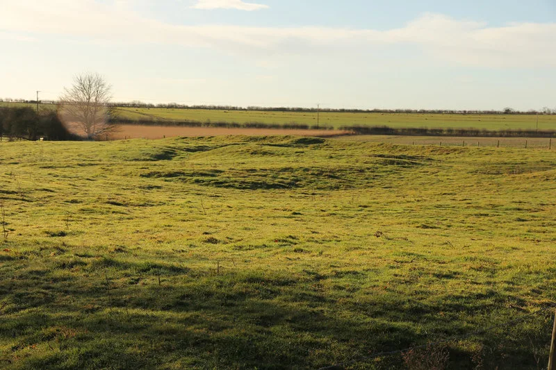
Brauncewell medieval village
Archaeological sites · 1.7 km

Digby, Lincolnshire
Museums · 2.1 km

Digby
Villages · 2.1 km

Dorrington, Lincolnshire
Museums · 2.3 km

Dorrington
Villages · 2.3 km

Digby War Memorial
Memorials & monuments · 2.3 km

Digby village cross
Historic houses · 2.4 km

RAF Digby
Museums · 2.5 km

Dunsby
Archaeological sites · 3.0 km
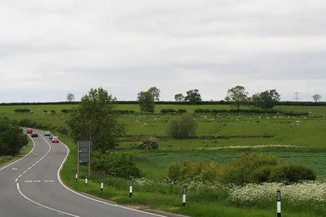
Dunsby medieval village
Archaeological sites · 3.1 km
Nearby
📷 3📷 3Archaeological sites · East Midlands
Brauncewell
Brauncewell — a archaeological in england-east-midlands, United Kingdom.
📷 3Archaeological sites · East Midlands
Brauncewell medieval village
Brauncewell medieval village — archaeological site in Cranwell, Brauncewell and Byard's Leap, North Kesteven, England, UK.
📷 5Museums · East Midlands
Digby, Lincolnshire
Digby, Lincolnshire — a museum in england-east-midlands, United Kingdom.
📷 5📷 5Museums · East Midlands
Dorrington, Lincolnshire
Dorrington is a village and civil parish in the North Kesteven district of Lincolnshire, England. It is situated 1.2 miles (2 km) both south from Digby and north from Ruskington. It is to the east of
Where to eat & stay near Ashby de la Launde and Bloxholm
Places to stay
 📷 5
📷 5 📷 5
📷 5Campsites · East Midlands
Woodland Waters
Woodland Waters — a campsite in england east midlands.
 📷 5
📷 5Campsites · East Midlands
Branston Moor Campsite
Branston Moor Campsite — a campsite in england east midlands.
 📷 5
📷 5 📷 5
📷 5Campsites · East Midlands
Riverview Caravan Park
Riverview Caravan Park — a campsite in england east midlands.
 📷 5
📷 5Caravan parks · East Midlands
Tattershall Lakes
Tattershall Lakes — a caravan park in england east midlands. Brand: Away Resorts.
Places to eat & drink
 📷 7
📷 7Historic pubs · East Midlands
The Marquis Of Granby Public House And Attached Outbuildings
The Marquis Of Granby Public House And Attached Outbuildings in England East, United Kingdom.
 📷 5
📷 5Historic pubs · East Midlands
Star And Garter Public House
Star And Garter Public House in England East, United Kingdom.
 📷 7
📷 7 📷 5
📷 5Historic pubs · East Midlands
The Lion And Royal Public House
The Lion And Royal Public House in England East, United Kingdom.
 📷 5
📷 5Historic pubs · East Midlands
The Marquis Of Granby
The Marquis Of Granby in England East, United Kingdom.
 📷 7
📷 7More places in this region
 📷 5
📷 5Historic churches · East Midlands
All Saints' Church, Stamford
All Saints' Church, Stamford — church in Stamford, Lincolnshire, England, UK.
 📷 5
📷 5Historic churches · East Midlands
Church of All Saints
Church of All Saints — church in Little Casterton, Rutland, United Kingdom.
 📷 5
📷 5Historic churches · East Midlands
Church of All Saints
Church of All Saints — church in Fenland, UK.
 📷 5
📷 5Historic churches · East Midlands
Church of St Leonard
Church of St Leonard — church in Fenland, UK.
Frequently asked questions
- Where is Ashby de la Launde and Bloxholm?
- Ashby de la Launde and Bloxholm is in Lincolnshire, the East Midlands, United Kingdom (postcode LN4 3QQ), in the parish of Ashby de la Launde and Bloxholm.
- What is Ashby de la Launde and Bloxholm?
- Ashby de la Launde and Bloxholm is a civil parish in the North Kesteven district of Lincolnshire, England. According to the 2001 Census it had a population of 796, increasing to 837 at the 2011 censu
- How do I get to Ashby de la Launde and Bloxholm?
- The nearest railway station is Ruskington, about 4.1 km away. Drivers can use postcode LN4 3QQ.
- Is Ashby de la Launde and Bloxholm free to visit?
- Yes, Ashby de la Launde and Bloxholm is free to enter.
- How do I get to Ashby de la Launde and Bloxholm?
- The nearest railway station is Ruskington, about 4.1 km away. Drivers can navigate to postcode LN4 3QQ.