
Reservoirs & lochs · South East England
Ardingly Reservoir
In or near Ardingly.
Ardingly Reservoir — lake in the United Kingdom.

Wikimedia Commons contributors — see linked file page for photographer and licence licence

Plan your visit
- Typical visit
- 1 h–2.5 h
- Nearest railway station
- Balcombe · 2.6 km
- Free entry
- Dog-friendly
Getting there & planning your visit
To visit Ardingly Reservoir, the nearest railway station is Balcombe, located 2.6 km away. The postcode for sat-nav is RH17 6AZ, and entry to the reservoir is free.
About
Ardingly Reservoir is a reservoir in the United Kingdom. Wikidata describes it as: "lake in the United Kingdom". Coordinates: 51.0472°, -0.1028°.
Photo gallery
Protected designations
- Area of Outstanding Natural Beauty: High Weald
Designations sourced from Natural England open data under OGL v3.
From the Wikipedia article
Ardingly Reservoir is west of Ardingly in West Sussex. The southern end is a 74.5-hectare (184-acre) Local Nature Reserve owned and managed by South East Water. The reservoir feeds the River Ouse located in West Sussex, England 5 miles (8.0 km) north of Haywards Heath. The villages of Ardingly and Balcombe are immediately to the east and north of the reservoir respectively. It was created in 1979 by damming Shell Brook, a tributary of the River Ouse which flows into the Ouse about 500m south of the reservoir. It is filled with water pumped from the River Ouse when river flows are high. The water is stored in the reservoir before being treated and distributed to consumers. Ardingly Activity Centre provides watersports for the public including wind surfing, kayaking, powerboating, paddleboarding and dinghy sailing as well the Black Hut Kiosk that serves drinks and snacks. The reservoir is also used regularly by Ardingly Rowing Club and Mid Sussex Tri Club. The reservoir is a popular fishing venue offering 3 miles (5 km) of freshwater fishing for carp, tench, pike, roach, rudd, eel, gudgeon, European perch and bream. The west bank of the reservoir is private property of the Balcombe Estate but the north, south and east shores offer public rights of way and bridleways. Ornithologists are catered for with two bird hides situated on the east bank.
Excerpt from Wikipedia under CC BY-SA 4.0. See the source article linked in Sources below.
- Coordinates
- 51.0472, -0.1028
- County
- West Sussex
- District
- Mid Sussex
- Parish
- Balcombe
- Postcode
- RH17 6AZ
- Parliamentary constituency
- East Grinstead and Uckfield
- Nearest railway station
- Balcombe — 2.6 km
Sources
- wikidata: Q4788072 (CC0)
- wikipedia: Ardingly Reservoir (CC BY-SA 4.0)
- commons: Ardingly Reservoir 1.jpg (CC BY-SA 4.0)
Other places nearby

Ardingly Reservoir & Ouse Valley
Reservoirs & lochs · 0.5 km
.jpg?width=1200)
Stone Hall
Historic houses · 1.0 km
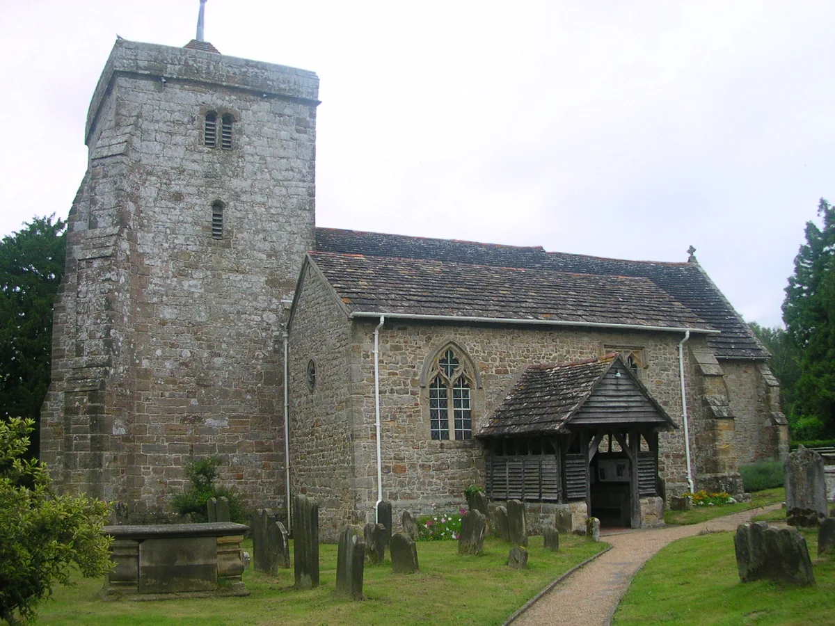
St Peter's Church, Ardingly
Historic churches · 1.1 km

Ardingly College
Historic houses · 1.1 km

Ouse Valley Viaduct Viewpoint
Viewpoints · 1.4 km

Ardingly Showground
Natural landmarks · 1.4 km

Wakehurst
Botanic gardens · 1.4 km

Ouse Valley Viaduct
Historic bridges · 1.6 km
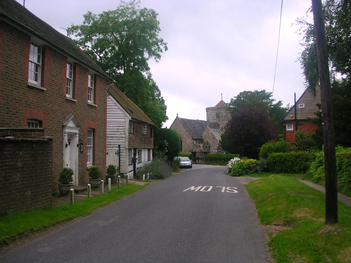
Ardingly
Towns & cities · 1.7 km

Balcombe Mill
Watermills · 1.8 km

Isla
Public art & sculpture · 2.1 km
.jpg?width=1200)
Kemp's House
Historic houses · 2.3 km
Nearby
📷 5Reservoirs & lochs · South East England
Ardingly Reservoir & Ouse Valley
Ardingly Reservoir & Ouse Valley — a other in england-south-east, United Kingdom.
📷 5Historic houses · South East England
Stone Hall
Stone Hall — Grade I listed building in Mid Sussex, England, UK.
📷 5Historic churches · South East England
St Peter's Church, Ardingly
St Peter's Church, Ardingly — church in Mid Sussex, England, UK.
📷 5Historic houses · South East England
Ardingly College
Ardingly College — a Grade II-listed historic house in england-south-east, United Kingdom.
📷 5Viewpoints · South East England
Ouse Valley Viaduct Viewpoint
Ouse Valley Viaduct Viewpoint is a viewpoint in the United Kingdom.
📷 5Natural landmarks · South East England
Ardingly Showground
Ardingly Showground — a other in england-south-east, United Kingdom.
Where to eat & stay near Ardingly Reservoir
Places to stay
 📷 5
📷 5Campsites · South East England
Bluebell Camp Site
Bluebell Camp Site — a campsite in england south east.
 📷 5
📷 5Campsites · South East England
Hook Farm Campsite
Hook Farm Campsite — a campsite in england south east.
 📷 5
📷 5Campsites · South East England
Wild Boar Wood Campsite
Wild Boar Wood Campsite — a campsite in england south east.
 📷 5
📷 5Campsites · South East England
Embers
Embers — a campsite in england south east.
📷 5 📷 5
📷 5Caravan parks · South East England
Woodside Park
Woodside Park — a caravan park in england south east.
Places to eat & drink
 📷 7
📷 7Historic pubs · South East England
The Sergison Arms Public House
The Sergison Arms Public House in England South East, United Kingdom.
 📷 5
📷 5Historic pubs · South East England
The Jolly Tanners Public House
The Jolly Tanners Public House in England South East, United Kingdom.
 📷 5
📷 5 📷 7
📷 7 📷 5
📷 5Historic pubs · South East England
White Hart Inn
White Hart Inn in England South East, United Kingdom.
 📷 5
📷 5Historic pubs · South East England
Old Punch Bowl
Old Punch Bowl in England South East, United Kingdom.
More places in this region
 📷 5
📷 5Reservoirs & lochs · South East England
Arlington Reservoir
Arlington Reservoir — protected area in East Sussex, England.
 📷 5
📷 5Reservoirs & lochs · South East England
Bewl Water
Bewl Water — reservoir in the United Kingdom.
 📷 5
📷 5Reservoirs & lochs · South East England
Darwell Reservoir
Darwell Reservoir — lake in the United Kingdom.
 📷 5
📷 5Reservoirs & lochs · South East England
Eyeworth Pond
Eyeworth Pond — reservoir in Hampshire, England, UK.
Frequently asked questions
- Where is Ardingly Reservoir?
- Ardingly Reservoir is in West Sussex, South-East England, United Kingdom (postcode RH17 6AZ), in the parish of Balcombe.
- What is Ardingly Reservoir?
- Ardingly Reservoir — lake in the United Kingdom.
- How do I get to Ardingly Reservoir?
- The nearest railway station is Balcombe, about 2.6 km away. The nearest town is Ardingly. Drivers can use postcode RH17 6AZ.
- Who owns Ardingly Reservoir?
- Ardingly Reservoir is owned by South East Water.
- Is Ardingly Reservoir a protected site?
- Yes — Ardingly Reservoir is part of the High Weald National Landscape (AONB).
- Is Ardingly Reservoir free to visit?
- Yes, Ardingly Reservoir is free to enter.
- How do I get to Ardingly Reservoir?
- The nearest railway station is Balcombe, about 2.6 km away. Drivers can navigate to postcode RH17 6AZ.