
Historic churches · West Midlands
Annscroft
In or near Wroxeter.
Annscroft in Wales Mid, United Kingdom.

Jonathan Billinger — CC BY-SA 2.0 via Wikimedia Commons licence

Plan your visit
- Typical visit
- 30 min–1 h
- Nearest railway station
- Shrewsbury · 8.0 km
- Free entry
Getting there & planning your visit
To visit Annscroft, the nearest railway station is Shrewsbury, located 8 km away. The postcode for your sat-nav is SY5 8HH, and entry is free.
About
Annscroft is a place of interest in Wales Mid, United Kingdom — drawn from open-data sources for visitor reference. See the linked Wikipedia article for the full description.
Photo gallery
Protected designations
- Area of Outstanding Natural Beauty: Shropshire Hills
Designations sourced from Natural England open data under OGL v3.
From the Wikipedia article
Annscroft is a small village in Shropshire, England. It is located on the Shrewsbury to Longden road, approximately 4 miles from Shrewsbury, with nearby hamlets Arscott and Hook-a-Gate. The village is a linear settlement, laid along the one road, and is in the civil parish of Longden. Many of the houses were 'squatter cottages' built in the 19th century to house miners working in the local collieries, which closed by 1940. There is a church at the village's north-east end: Christ Church (C of E) was built in 1868–69, by Shrewsbury architect John Laurence Randall at a cost of £1,400, raised by subscription. It is of rubble-stone with sandstone dressings, in Early English style. The church contains three war memorials: a brass plaque on the south wall of the nave in memory of Trooper William Hulston who was killed in the Boer War of 1899-1902, a marble plaque in the chancel to 18 men who died through serving in World War I and an electric blower organ with plaque to 9 men who died as a result of World War II. The churchyard contains Commonwealth war graves of a Royal Welsh Fusiliers soldier of World War I and a Royal Air Force airman of World War II. Half a mile north-west of the village is Moat Hall, a disguised timber-framed house built for the Berington family in about 1600, jetty underbuilt in brick. It gave its name to the Moat Hall Colliery, the largest mine in the vicinity, which was merged under one company with the colliery at Hanwood in 1921 and where coal ceased to be lifted in 1931. The village is home to bus and coach operator Minsterley Motors, South Shropshire Hunt Kennels, Stoneyford Riding School and The Farriers Business Park.
Excerpt from Wikipedia under CC BY-SA 4.0. See the source article linked in Sources below.
- Coordinates
- 52.6500, -2.8100
- District
- Shropshire
- Parish
- Longden
- Postcode
- SY5 8HH
- Parliamentary constituency
- Shrewsbury
- Nearest railway station
- Shrewsbury — 8 km
Sources
Other places nearby
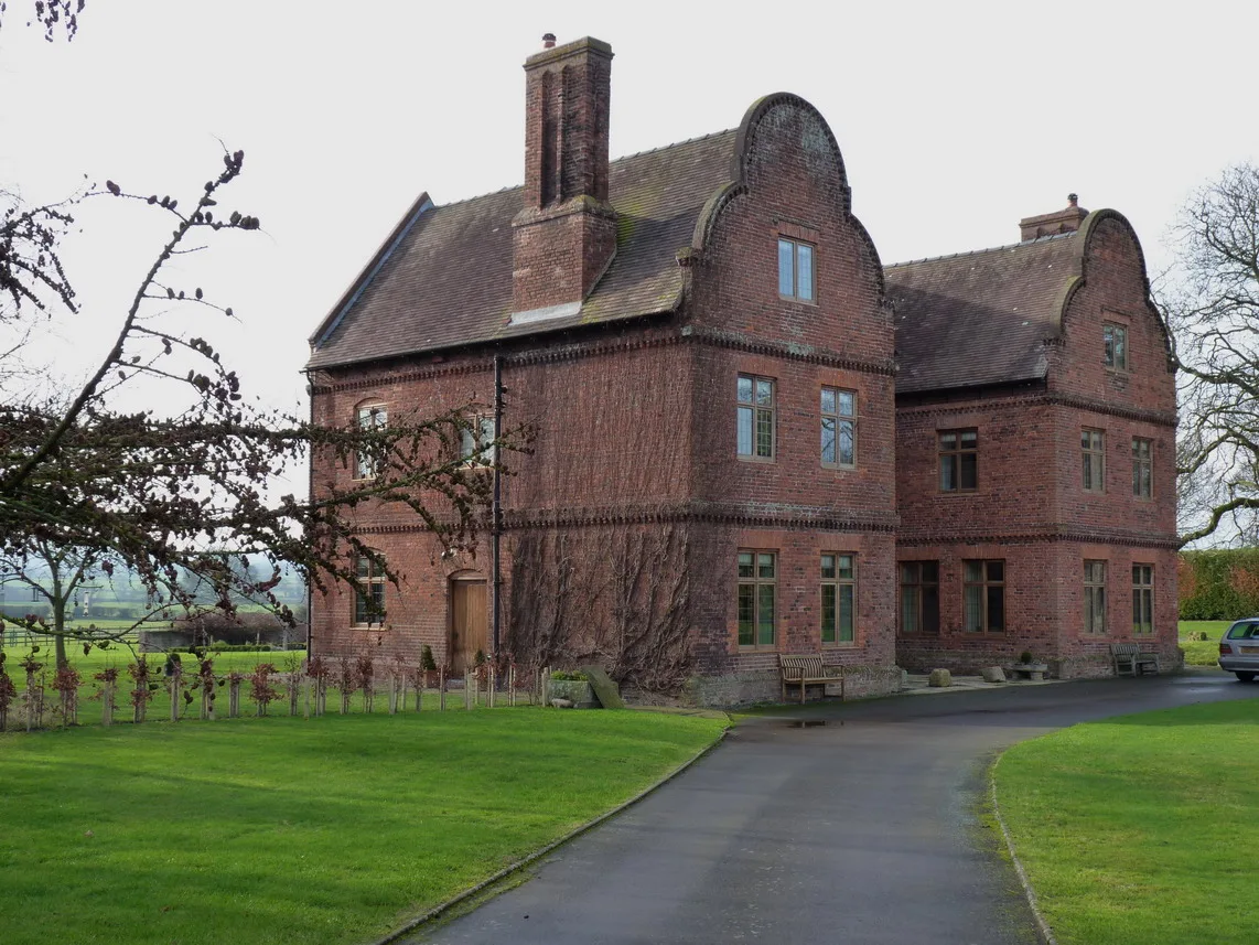
Great Lyth Manor
Stately homes · 1.2 km

Lyth Hill
Mountains & hills · 2.0 km

Longden Common Village Sign
Public art & sculpture · 2.1 km

Stapleton, Shropshire
Castles · 2.3 km

Stapleton War Memorial
Memorials & monuments · 2.4 km
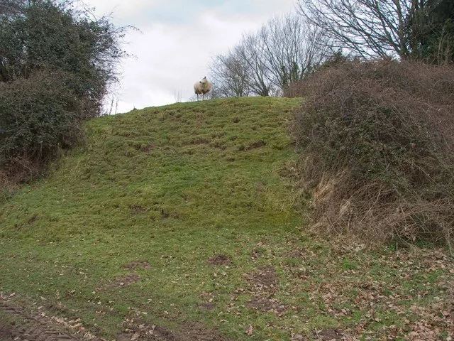
Stapleton Motte
Castles · 2.4 km

Stapleton
Villages · 2.6 km

Plealey Hill
Mountains & hills · 2.6 km

Sibberscote Manor
Manor houses · 3.1 km

Plealey
Villages · 3.1 km

Welbatch Pit Mound
Historic houses · 3.1 km

By The Wood
Campsites · 3.2 km
Nearby
Flagship📷 3Stately homes · West Midlands
Great Lyth Manor
Great Lyth Manor — manor house in Longden, Shropshire, England, UK.
📷 5📷 3Public art & sculpture · West Midlands
Longden Common Village Sign
Longden Common Village Sign — a public art in wales-mid, United Kingdom.
📷 5Castles · West Midlands
Stapleton, Shropshire
Stapleton, Shropshire — a castle in wales-mid, United Kingdom.
📷 3Memorials & monuments · West Midlands
Stapleton War Memorial
Stapleton War Memorial — Grade II listed building-listed memorial in wales-mid, United Kingdom.
📷 3Castles · West Midlands
Stapleton Motte
Stapleton Motte — castle in Stapleton, Shropshire, England, UK.
Where to eat & stay near Annscroft
Places to stay
📷 5 📷 5
📷 5Caravan parks · West Midlands
Stoney Acres
Stoney Acres — a caravan park in wales mid.
 📷 5
📷 5Caravan parks · West Midlands
Spring Lea Fishery & Holiday Park
Spring Lea Fishery & Holiday Park — a caravan park in wales mid.
 📷 5
📷 5Caravan parks · West Midlands
Woodville Caravan Site
Woodville Caravan Site — a caravan park in wales mid.

Caravan parks · West Midlands
Condover Park Touring Caravan Site
Condover Park Touring Caravan Site — a caravan park in wales mid.
 📷 4
📷 4Caravan parks · West Midlands
Cartref Caravan and Camping
Cartref Caravan and Camping — a caravan park in wales mid.
Places to eat & drink
 📷 5
📷 5 📷 5
📷 5Historic pubs · West Midlands
Admiral Benbow Public House
Admiral Benbow Public House in Wales North, United Kingdom.
 📷 7
📷 7 📷 7
📷 7Historic pubs · West Midlands
The Hole In The Wall Public House
The Hole In The Wall Public House in Wales North, United Kingdom.
 📷 7
📷 7Historic pubs · West Midlands
Yorkshire House Public House
Yorkshire House Public House in Wales North, United Kingdom.
 📷 5
📷 5Historic pubs · West Midlands
The Dun And Cow Public House
The Dun And Cow Public House in Wales North, United Kingdom.
More places in this region
 📷 3
📷 3Historic churches · West Midlands
Church of All Saints
Church of All Saints — Grade I listed church in King's Bromley, Staffordshire, England, UK.
 📷 3
📷 3Historic churches · West Midlands
Church of St Leonard, Blithfield
Church of St Leonard, Blithfield — Grade I listed church, Blithfield, United Kingdom.
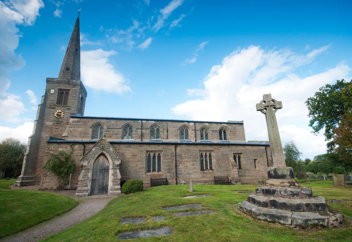 📷 3
📷 3Historic churches · West Midlands
Church of St Michael and All Angels, Hamstall Ridware
Church of St Michael and All Angels, Hamstall Ridware — church in Hamstall Ridware, Staffordshire, England, UK.
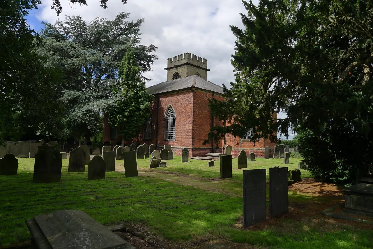 📷 5
📷 5Historic churches · West Midlands
Church of St Nicholas, Mavesyn Ridware
Church of St Nicholas, Mavesyn Ridware — church in Mavesyn Ridware, Staffordshire, England, UK.
Frequently asked questions
- Where is Annscroft?
- Annscroft is in Mid Wales, United Kingdom (postcode SY5 8HH), in the parish of Longden.
- What is Annscroft?
- Annscroft in Wales Mid, United Kingdom.
- How do I get to Annscroft?
- The nearest railway station is Shrewsbury, about 8.0 km away. Drivers can use postcode SY5 8HH.
- Is Annscroft a protected site?
- Yes — Annscroft is part of the Shropshire Hills National Landscape (AONB).
- Is Annscroft free to visit?
- Yes, Annscroft is free to enter.
- How do I get to Annscroft?
- Drivers can navigate to postcode SY5 8HH. It sits within the Shrewsbury parliamentary constituency.