Archaeological sites · Scottish Highlands
An Dun Broch
An Dun Broch — archaeological in scotland highlands.

Claire Pegrum — CC BY-SA 2.0 via Wikimedia Commons licence
Plan your visit
- Typical visit
- 45 min–1.5 h
About
An Dun Broch is a archaeological located in scotland highlands. A British archaeological site recorded in OpenStreetMap with at least one heritage quality signal (Wikidata link, Wikipedia article or designated operator).
Photo gallery
Place summary
An Dun Broch is an archaeological site located in the Scottish Highlands. This ancient stone structure is a notable example of a broch, a type of drystone tower built during the Iron Age. The site provides insight into the region's prehistoric architecture and settlement patterns. Visitors can explore the remains and gain an understanding of the historical significance of brochs in Scottish heritage.
AI-generated from the structured facts on this page (operator, designation, listing, era). Not a substitute for visiting.
- Coordinates
- 58.2038, -3.5273
Sources
- osm: w1385450654 (ODbL)
- wikidata: Q56668519 (CC0)
Other places nearby
Loading nearby places…
Nearby
 📷 2
📷 2Archaeological sites · Scottish Highlands
Tulach Bad A' Choilich Broch
Tulach Bad A' Choilich Broch — a archaeological in scotland-highlands, United Kingdom.
📷 5Archaeological sites · Scottish Highlands
Tulach Bad A' Choilich Broch
Tulach Bad A' Choilich Broch — archaeological in scotland highlands.

Vineyards · Scottish Highlands
Rinsary,homestead 500m WNW of,Berriedale
Rinsary,homestead 500m WNW of,Berriedale — a UK vineyard in scotland highlands, producing English or Welsh wine from cool-climate grape varieties.
 📷 5
📷 5Mountains & hills · Scottish Highlands
Beinn nan Coireag
Beinn nan Coireag — a hill or mountain in scotland highlands.
📷 5Mountains & hills · Scottish Highlands
Beinn nan Coireag
Beinn nan Coireag — mountain in scotland highlands. Elevation: 271 m.
 📷 5
📷 5Mountains & hills · Scottish Highlands
Meall na Caorach
Meall na Caorach — a hill or mountain in scotland highlands.
Where to eat & stay near An Dun Broch
Places to stay
 📷 5
📷 5Campsites · Scottish Highlands
Dunbeath Harbour Camping
Dunbeath Harbour Camping — a campsite in scotland highlands.
 📷 5
📷 5Campsites · Scottish Highlands
Inver Caravan Park & BB
Inver Caravan Park & BB — a campsite in scotland highlands.
 📷 5
📷 5Campsites · Scottish Highlands
Wildcamp latheronwheel
Wildcamp latheronwheel — a campsite in scotland highlands.
 📷 5
📷 5Hostels · Scottish Highlands
Helmsdale Hostel
Helmsdale Hostel — a hostel in scotland highlands.
More archaeological sites in this region
 📷 5
📷 5Archaeological sites · Scottish Highlands
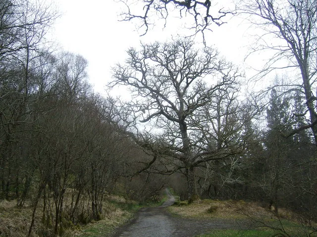
Ariundle Oakwood National Nature Reserve
Ariundle Oakwood National Nature Reserve — forested nature reserve in Highland, Scotland, UK.
 📷 3
📷 3Archaeological sites · Scottish Highlands
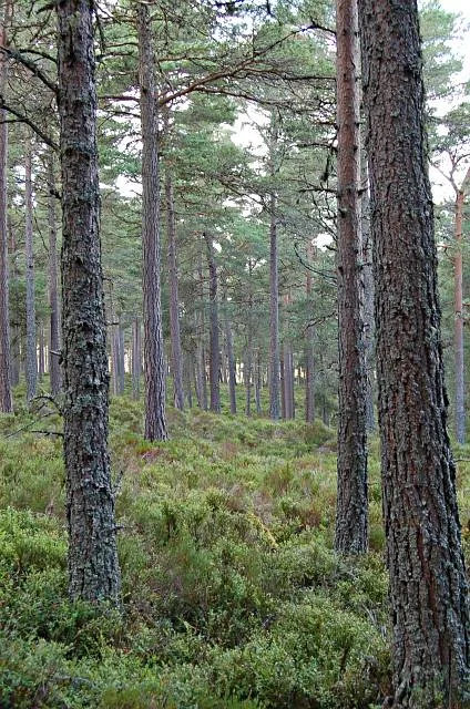
Abernethy Forest
Abernethy Forest — forest in Highland, Scotland, UK.
 📷 3
📷 3Archaeological sites · Scottish Highlands
Abriachan Forest
Abriachan Forest — Forest near Abriachan village in Scotland.
 📷 3
📷 3Archaeological sites · Scottish Highlands
Achnashellach Forest
Achnashellach Forest is a archaeological site in the United Kingdom.
Frequently asked questions
- Where is An Dun Broch?
- An Dun Broch is in the Scottish Highlands, United Kingdom.
- What is An Dun Broch?
- An Dun Broch — archaeological in scotland highlands.
- How do I get to An Dun Broch?
- Its coordinates are 58.2038°, -3.5273°.