
Historic churches · Yorkshire & the Humber
Amcotts
In or near Luddington.
Amcotts is a village and civil parish in the North Lincolnshire district of Lincolnshire, England, and on the Isle of Axholme. The village is situated north-west from Scunthorpe, and on the west bank

Jonathan Thacker — CC BY-SA 2.0 via Wikimedia Commons licence

Plan your visit
- Typical visit
- 30 min–1 h
- Nearest railway station
- Althorpe · 3.1 km
- Free entry
About
Amcotts is a village and civil parish in the North Lincolnshire district of Lincolnshire, England, and on the Isle of Axholme. The village is situated north-west from Scunthorpe, and on the west bank of the River Trent facing Flixborough on the east bank. The 2001 Census recorded a population of 219 for the parish, increasing to 260 at the 2021 census.
Photo gallery
Protected designations
- Site of Special Scientific Interest: Humber Estuary - 2000480 SSSI
- Ramsar wetland: Humber Estuary
Designations sourced from Natural England open data under OGL v3.
From the Wikipedia article
Amcotts is a village and civil parish in the North Lincolnshire district of Lincolnshire, England, and on the Isle of Axholme. The village is situated north-west from Scunthorpe, and on the west bank of the River Trent facing Flixborough on the east bank. The 2001 Census recorded a population of 219 for the parish, increasing to 260 at the 2021 census.
Excerpt from Wikipedia under CC BY-SA 4.0. See the source article linked in Sources below.
Background
History
Amcotts is listed in the 1086 Domesday Book with eight households. A chantry chapel was founded in the mid-15th century by Geoffrey Crowle and William Amcotts. Formerly a township of Althorpe parish, Amcotts was created a civil parish in 1866 and enlarged in 1885 by gaining part of neighbouring Luddington. Amcotts Grade II listed Anglican parish church is dedicated to St Mark, and was built in 1853 to replace an earlier church dedicated to St Thomas A Becket which fell down in 1849. Amcotts CE School, built in 1860 as a National School, closed in 1961. In 1974 properties in the village were subject to significant damage because of the Flixborough disaster.
Sourced from Wikipedia under CC BY-SA 4.0.
- Coordinates
- 53.6100, -0.7100
- District
- North Lincolnshire
- Parish
- Flixborough
- Postcode
- DN15 8UD
- Parliamentary constituency
- Scunthorpe
- Nearest railway station
- Althorpe — 3.1 km
Sources
- wikipedia: Amcotts (CC BY-SA 4.0)
Other places nearby

Gunness
Historic churches · 2.2 km

Flixborough
Historic churches · 2.4 km

Pavilion Picture House
Theatres · 2.6 km

The Berkeley
Historic houses · 2.7 km

The Berkeley
Historic pubs · 2.7 km

foxhill park
Parks · 2.7 km

Keadby
Villages · 2.7 km

AirKings indoor trampoline park
Trampoline parks · 3.0 km

Keadby Bridge
Historic bridges · 3.0 km

Vazon Sliding Railway Bridge
Historic bridges · 3.4 km

Baitus Salaam Mosque
Historic churches · 3.6 km
.jpg?width=1200)
Quibell Park Stadium
Stadiums · 3.7 km
Nearby
📷 5Historic churches · Yorkshire & the Humber
Gunness
Gunness — a church in england-yorkshire, United Kingdom.
📷 5Historic churches · Yorkshire & the Humber
Flixborough
Flixborough — a church in england-yorkshire, United Kingdom.
📷 3Theatres · Yorkshire & the Humber
Pavilion Picture House
Pavilion Picture House in England Yorkshire, United Kingdom.
📷 4Historic houses · Yorkshire & the Humber
The Berkeley
The Berkeley — a Grade II*-listed historic house in england-yorkshire, United Kingdom.
📷 7Historic pubs · Yorkshire & the Humber
The Berkeley
The Berkeley in England Yorkshire, United Kingdom.
📷 3Parks · Yorkshire & the Humber
foxhill park
foxhill park — a other in england-yorkshire, United Kingdom.
Where to eat & stay near Amcotts
Places to stay
 📷 5
📷 5Campsites · Yorkshire & the Humber
Normanby Park Camp Site
Normanby Park Camp Site — a campsite in england yorkshire.
 📷 5
📷 5 📷 5
📷 5Caravan parks · Yorkshire & the Humber
7 Lakes Country Park
7 Lakes Country Park — a caravan park in england yorkshire.
 📷 5
📷 5Caravan parks · Yorkshire & the Humber
College Farm Caravan Park
College Farm Caravan Park — a caravan park in england yorkshire.
 📷 5
📷 5Caravan parks · East Midlands
Grange Motorhome Park
Grange Motorhome Park — a caravan park in england yorkshire.
 📷 5
📷 5Campsites · Yorkshire & the Humber
Whitgift Hall Caravan Site and Fishery
Whitgift Hall Caravan Site and Fishery — a campsite in england yorkshire.
Places to eat & drink
📷 7Historic pubs · Yorkshire & the Humber
The Berkeley
The Berkeley in England Yorkshire, United Kingdom.
 📷 5
📷 5Historic pubs · Yorkshire & the Humber
The Cross Keys
The Cross Keys in England Yorkshire, United Kingdom.
 📷 7
📷 7Restaurants · Yorkshire & the Humber
The Lowther Hotel
The Lowther Hotel — a restaurant in england yorkshire.
 📷 4
📷 4Historic pubs · Yorkshire & the Humber
The Royal
The Royal — Historic pub — listed building or notable heritage status.
 📷 5
📷 5Historic pubs · Yorkshire & the Humber
The Buccaneer Public House
The Buccaneer Public House in England Yorkshire, United Kingdom.
 📷 7
📷 7Historic pubs · Yorkshire & the Humber
Fox And Coney Public House
Fox And Coney Public House in England Yorkshire, United Kingdom.
More places in this region
 📷 5
📷 5Historic churches · Yorkshire & the Humber
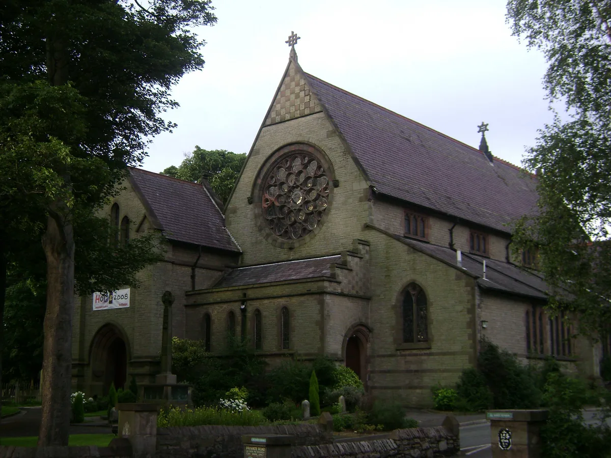
All Saints Church, Marple
All Saints Church, Marple — church in Marple, Greater Manchester, England, UK.
 📷 3
📷 3Historic churches · Yorkshire & the Humber
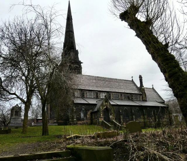
Brookfield Unitarian Church
Brookfield Unitarian Church — church in Manchester, UK.
 📷 5
📷 5Historic churches · Yorkshire & the Humber
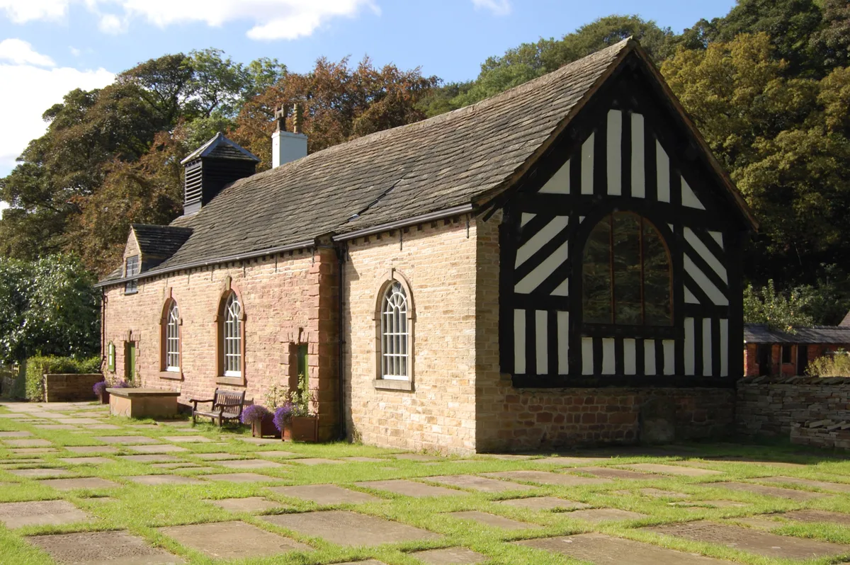
Chadkirk Chapel
Chadkirk Chapel — church and museum in Stockport, United Kingdom.
 📷 3
📷 3Historic churches · Yorkshire & the Humber
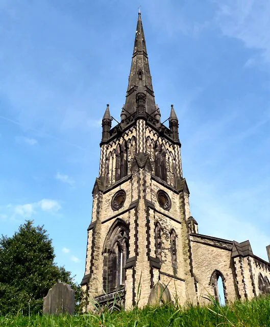
Christ Church, Heaton Norris
Christ Church, Heaton Norris — church in Stockport, UK.
Frequently asked questions
- Where is Amcotts?
- Amcotts is in Yorkshire, United Kingdom (postcode DN15 8UD), in the parish of Flixborough.
- What is Amcotts?
- Amcotts is a village and civil parish in the North Lincolnshire district of Lincolnshire, England, and on the Isle of Axholme. The village is situated north-west from Scunthorpe, and on the west bank
- How do I get to Amcotts?
- The nearest railway station is Althorpe, about 3.1 km away. Drivers can use postcode DN15 8UD.
- Is Amcotts a protected site?
- Yes — Amcotts is part of the Humber Estuary - 2000480 SSSI Site of Special Scientific Interest and the Humber Estuary Ramsar wetland.
- Is Amcotts free to visit?
- Yes, Amcotts is free to enter.
- How do I get to Amcotts?
- The nearest railway station is Althorpe, about 3.1 km away. Drivers can navigate to postcode DN15 8UD.