
Historic churches · Scottish Highlands
Altyre, Old Parish Church And Burial Ground
In or near Kinloss.
Altyre, Old Parish Church And Burial Ground — scheduled monument-listed church in scotland-highlands, United Kingdom.

Des Colhoun — CC BY-SA 2.0 via Wikimedia Commons licence

Plan your visit
- Typical visit
- 30 min–1 h
- Nearest railway station
- Forres · 3.7 km
- Free entry
Getting there & planning your visit
To visit Altyre, Old Parish Church And Burial Ground, the nearest railway station is Forres, located 3.7 km away. The postcode for sat-nav is IV36 2SH. Entry is free.
About
Altyre, Old Parish Church And Burial Ground is a scheduled monument-listed church in scotland-highlands, United Kingdom, registered on the Historic Environment Scotland register (entry SM5809). Listed status protects buildings and structures of special architectural or historic interest. See the linked Wikipedia article for further details.
Photo gallery
Heritage listing
Date Added 01/11/1993 Type Ecclesiastical: church Local Authority Moray Parish Rafford NGR NJ 03577 55383 Coordinates 303577, 855383 — The monument consists of the remains of the old parish church of Altyre which date from the beginning of the 14th century. Mention of a chapel in use here in 1230 occurs in the Chartulary of Moray. The parish formerly belonged to the parsonage of Dallas, but was disjoined and subsequently added to Rafford about 1659. The centre of worship was the church located on the Altyre Estate. The estate has been owned by the Comyn (Cumming) family since at least the 14th century. The simple rectangular-plan church is situated 800m NE of Altyre House on the E edge of the Auld Kirk Wood. Its dimensions are 18.65m E-W by 9m N-S overall with walls 0.9m thick. The N side is built on ground sloping away from the church and simple buttresses have been subsequently added to each end of the N wall for stability. The walls, of rubble with ashlar dressings, survive to full height. Two opposed shallow pointed-headed entrances open near the W end. The N one has a draw-bar hole. Near the centre of the N elevation are two slim pointed-headed lancets, three more lancets light the E end of the S elevation. In the centre of the E gable is a broader window which formerly had simple Y tracery. Two central rectangular windows, one above the other, suggest that later alterations took place in the W gable. A table tomb for Robert Cumming of Logie is situated towards the E end. The area to be scheduled is rectangular, extending 5m from the exterior walls of the church and measuring a maximum of 28.65m E-W by 19m N-S, as shown in red on the accompanying map.
From Historic Environment Scotland under OGL v3.
Place summary
Altyre, Old Parish Church and Burial Ground is located in the Scottish Highlands. This site is designated as a scheduled monument, highlighting its historical significance.
AI-generated from the structured facts on this page (operator, designation, listing, era). Not a substitute for visiting.
- Coordinates
- 57.5782, -3.6141
- District
- Moray
- Postcode
- IV36 2SH
- Parliamentary constituency
- Moray West, Nairn and Strathspey
- Nearest railway station
- Forres — 3.7 km
Sources
- wikidata: Q17568710 (CC0)
Other places nearby

Episcopal Church, Altyre
Historic churches · 1.0 km

Dallas Dhu Historic Distillery
Museums · 1.3 km

Loch of Blairs
Lakes · 1.3 km

Scurrypool Bridge
Historic bridges · 2.0 km

Old Parish Church and Burial Ground, Rafford
Historic churches · 2.5 km

Balnageith Farmhouse
Hill forts · 2.6 km

Rafford
Villages · 2.6 km

Rafford Parish Church
Historic churches · 2.6 km

Rafford War Memorial
Memorials & monuments · 2.6 km

Sanquhar Loch
Lakes · 2.7 km

Nimrod XV230 Crew Memorial
Memorials & monuments · 3.3 km

Forres
Castles · 3.3 km
Nearby
📷 5Historic churches · Scottish Highlands
Episcopal Church, Altyre
Episcopal Church, Altyre — category C listed building-listed church in scotland-highlands, United Kingdom.
📷 3Museums · Scottish Highlands
Dallas Dhu Historic Distillery
Dallas Dhu Historic Distillery — a museum in scotland-highlands, United Kingdom.
📷 5📷 5Historic bridges · Scottish Highlands
Scurrypool Bridge
Scurrypool Bridge — category B listed building-listed bridge in scotland-highlands, United Kingdom.
📷 5Historic churches · Scottish Highlands
Old Parish Church and Burial Ground, Rafford
Old Parish Church and Burial Ground, Rafford — category B listed building-listed church in scotland-highlands, United Kingdom.
📷 3Hill forts · Scottish Highlands
Balnageith Farmhouse
Balnageith Farmhouse — archaeological site in Moray, Scotland, UK.
Where to eat & stay near Altyre, Old Parish Church And Burial Ground
Places to stay
 📷 5
📷 5 📷 5
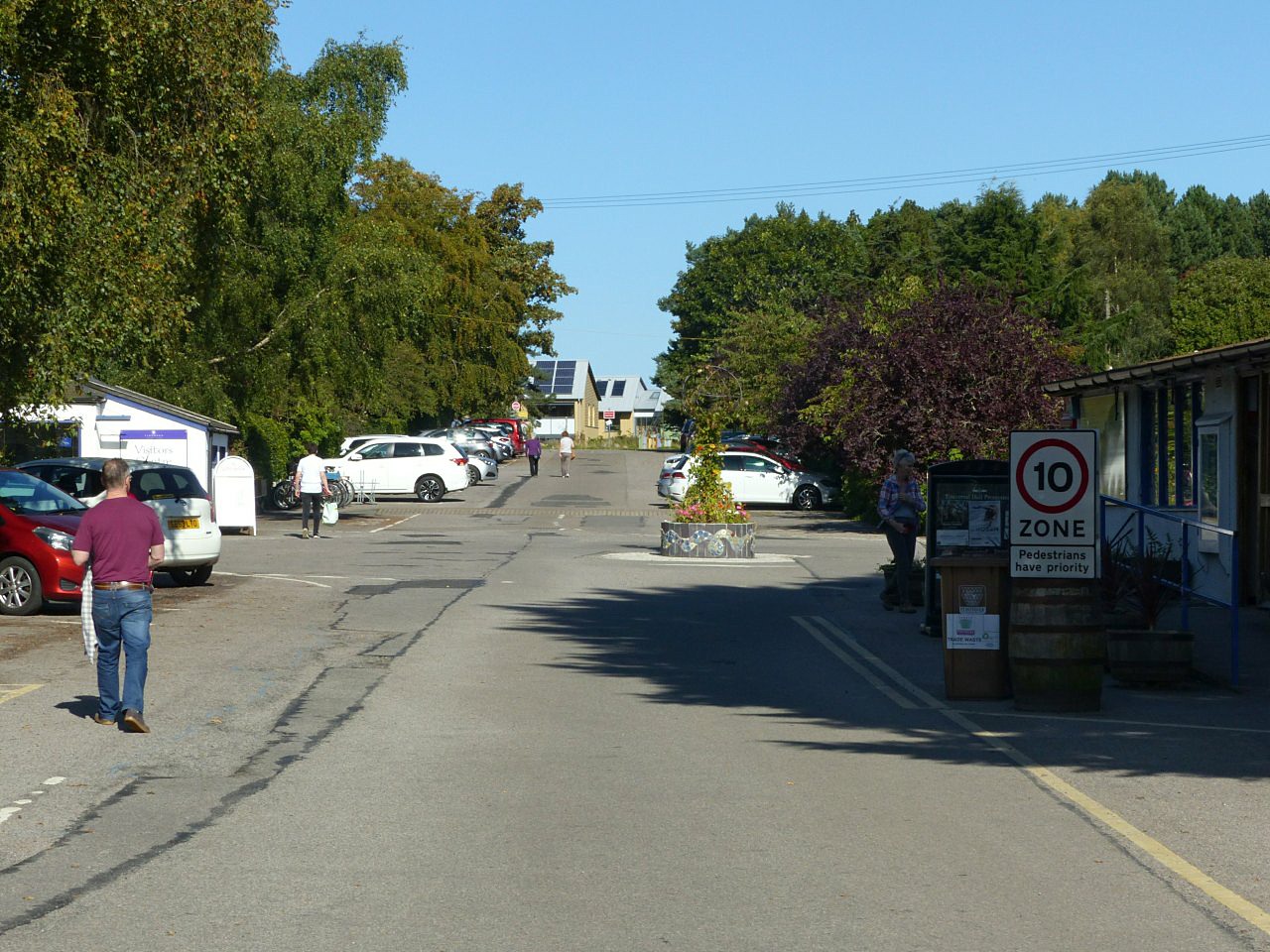
📷 5Caravan parks · Scottish Highlands
Seaview Caravan Park
Seaview Caravan Park — a caravan park in scotland highlands.
 📷 5
📷 5Campsites · Scottish Highlands
Findhorn Bay Holiday Park
Findhorn Bay Holiday Park — a campsite in scotland highlands.
 📷 5
📷 5Hostels · Scottish Highlands
The Findhorn Hostel
The Findhorn Hostel — a hostel in scotland highlands.
 📷 5
📷 5Caravan parks · Scottish Highlands
North Alves Holiday Park
North Alves Holiday Park — a caravan park in scotland highlands.
 📷 5
📷 5Campsites · Scottish Highlands
Nairn Lochloy Holiday Park (Touring)
Nairn Lochloy Holiday Park (Touring) — a campsite in scotland highlands.
More places in this region
 📷 3
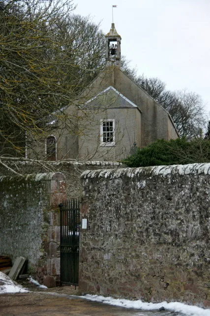
📷 3Historic churches · Scottish Highlands
Airlie Parish Kirk
Airlie Parish Kirk — church in Angus, Scotland, UK.
 📷 3
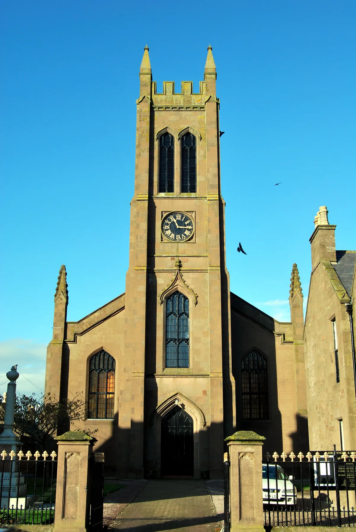
📷 3Historic churches · Scottish Highlands
Arbuthnott, Bervie & Kinneff Parish Church
Arbuthnott, Bervie & Kinneff Parish Church — church in Aberdeenshire, Scotland, UK.
 📷 3
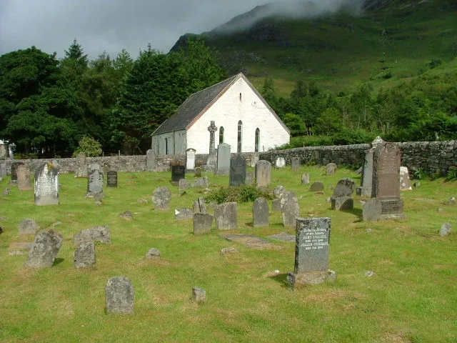
📷 3Historic churches · Scottish Highlands
Arnisdale Free Church
Arnisdale Free Church — church in Highland, Scotland, UK.
 📷 3
📷 3Historic churches · Scottish Highlands
Aultbea Free Church
Aultbea Free Church — church in Aultbea, UK.
Frequently asked questions
- Where is Altyre, Old Parish Church And Burial Ground?
- Altyre, Old Parish Church And Burial Ground is in the Scottish Highlands, United Kingdom (postcode IV36 2SH).
- What is Altyre, Old Parish Church And Burial Ground?
- Altyre, Old Parish Church And Burial Ground — scheduled monument-listed church in scotland-highlands, United Kingdom.
- How do I get to Altyre, Old Parish Church And Burial Ground?
- The nearest railway station is Forres, about 3.7 km away. Drivers can use postcode IV36 2SH.
- Is Altyre, Old Parish Church And Burial Ground a listed building?
- Altyre, Old Parish Church And Burial Ground is officially recognised as scheduled monument listed.
- Is Altyre, Old Parish Church And Burial Ground free to visit?
- Yes, Altyre, Old Parish Church And Burial Ground is free to enter.
- How do I get to Altyre, Old Parish Church And Burial Ground?
- The nearest railway station is Forres, about 3.7 km away. Drivers can navigate to postcode IV36 2SH.