
Natural landmarks · South West England
Alton Barnes White Horse
In or near Woodborough.
Alton Barnes White Horse is a chalk hill figure of a white horse located on Milk Hill, some 914 yards, 1,000 metres, north of the village of Alton Barnes, Wiltshire, England. The horse is approximatel

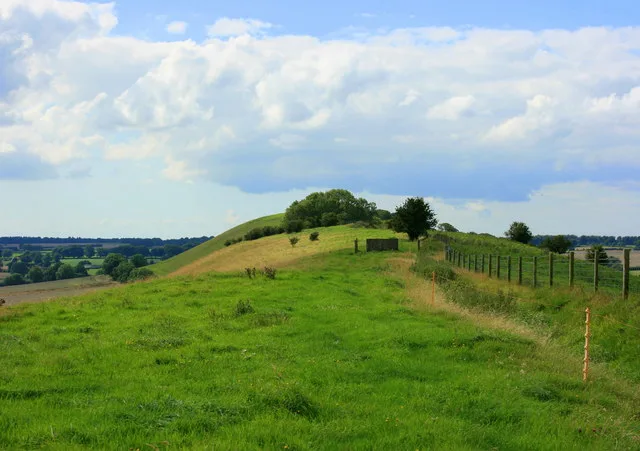
Ian Capper — CC BY-SA 2.0 via Wikimedia Commons licence

Plan your visit
- Typical visit
- 1 h–2 h
- Nearest railway station
- Pewsey · 6.3 km
- Dog-friendly
Getting there & planning your visit
To visit the Alton Barnes White Horse, the nearest railway station is Pewsey, located 6.3 km away. The postcode for sat-nav is SN8 4LD. Entry is free, and accessibility details are not provided.
About
Alton Barnes White Horse is a chalk hill figure of a white horse located on Milk Hill, some 914 yards, 1,000 metres, north of the village of Alton Barnes, Wiltshire, England. The horse is approximately 180 feet high and 160 feet long, and was cut in 1812, commissioned by local farmer Robert Pile. Pile instructed inn sign painter John Thorne to design and cut the horse, although Thorne conned Pile by leaving with his advance sum while employing local resident John Harvey to cut the horse instead. It is based on another white horse hill figure in Wiltshire, the Cherhill White Horse, and is the second largest of the eight white horses in Wiltshire. One of the county's best-loved and most iconic white horses, it remains a tourist attraction and has been regularly maintained, with numerous groups or individuals scouring the horse throughout its life. More recently, the horse was illuminated by candles every winter solstice for over ten years, as well as in a lantern parade to celebrate its 200th anniversary in 2012. The horse has also been transformed into a zebra on April Fools' Day on two occasions.
Photo gallery
Protected designations
- Site of Special Scientific Interest: Pewsey Downs SSSI
- National Nature Reserve: PEWSEY DOWNS
- Area of Outstanding Natural Beauty: Cotswolds
- Area of Outstanding Natural Beauty: North Wessex Downs
Designations sourced from Natural England open data under OGL v3.
From the Wikipedia article
Alton Barnes White Horse is a chalk hill figure of a white horse located on Milk Hill, some 914 yards, 1,000 metres, north of the village of Alton Barnes, Wiltshire, England. The horse is approximately 180 feet high and 160 feet long, and was cut in 1812, commissioned by local farmer Robert Pile. Pile instructed inn sign painter John Thorne to design and cut the horse, although Thorne conned Pile by leaving with his advance sum while employing local resident John Harvey to cut the horse instead. It is based on another white horse hill figure in Wiltshire, the Cherhill White Horse, and is the second largest of the eight white horses in Wiltshire. One of the county's best-loved and most iconic white horses, it remains a tourist attraction and has been regularly maintained, with numerous groups or individuals scouring the horse throughout its life. More recently, the horse was illuminated by candles every winter solstice for over ten years, as well as in a lantern parade to celebrate its 200th anniversary in 2012. The horse has also been transformed into a zebra on April Fools' Day on two occasions.
Excerpt from Wikipedia under CC BY-SA 4.0. See the source article linked in Sources below.
Background
History
Alton Barnes White Horse was cut in 1812 on the instructions of one Robert Pile or Pyle, a tenant of Manor Farm, in the village of Alton Barnes. This may be the same Robert Pile who cut the original version of the nearby Pewsey White Horse in 1785, or perhaps his son, given that the Alton Barnes horse was created 27 years later. Selecting the southern slope of Milk Hill for the horse, Pile contacted a journeyman inn sign painter, John Thorne, also known as Jack the Painter, to design and cut the horse, and paid him an advance sum of £20. Pile and Thorne agreed that the white horse would be excavated to a depth of 1 foot and subsequently packed with chalk rubble. Thorne provided Pile with a…
Description
Alton Barnes White Horse is located on the southern, 35° slope of Milk Hill, also known locally as "Old Adam," the tallest hill in Wiltshire with a 295 metre high peak. The horse is sited on the ridge which connects Milk Hill to Walker's Hill, overlooking Pewsey Vale; the land is part of the Pewsey Down Nature Reserve. and the Adam's Grave long barrow. The chalk horse is 166 feet (51 metres) tall and 160 feet (49 metres) wide, and, to prevent foreshortening, is disproportionately tall. It is based on and is said to resemble the nearby Cherhill White Horse, although the Alton Barnes horse is slightly larger. It is possible the horse was bigger in the past, as Revd E.H.M. Sladen, measuring…
Sourced from Wikipedia under CC BY-SA 4.0.
- Coordinates
- 51.3726, -1.8480
- District
- Wiltshire
- Parish
- Alton
- Postcode
- SN8 4LD
- Parliamentary constituency
- East Wiltshire
- Established
- 1812
- Nearest railway station
- Pewsey — 6.3 km
Sources
- wikipedia: Alton Barnes White Horse (CC BY-SA 4.0)
Other places nearby

Alton Barnes White Horse
Archaeological sites · 0.0 km

Adam's Grave
Archaeological sites · 0.6 km

Adam's Grave
Archaeological sites · 0.6 km

Walkers Hill
Mountains & hills · 0.7 km
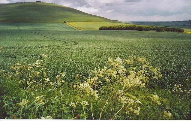
Milk Hill
Mountains & hills · 0.7 km

Knap Hill Camp
Archaeological sites · 1.4 km

Knap Hill Camp
Archaeological sites · 1.4 km

Knap Hill
Mountains & hills · 1.4 km
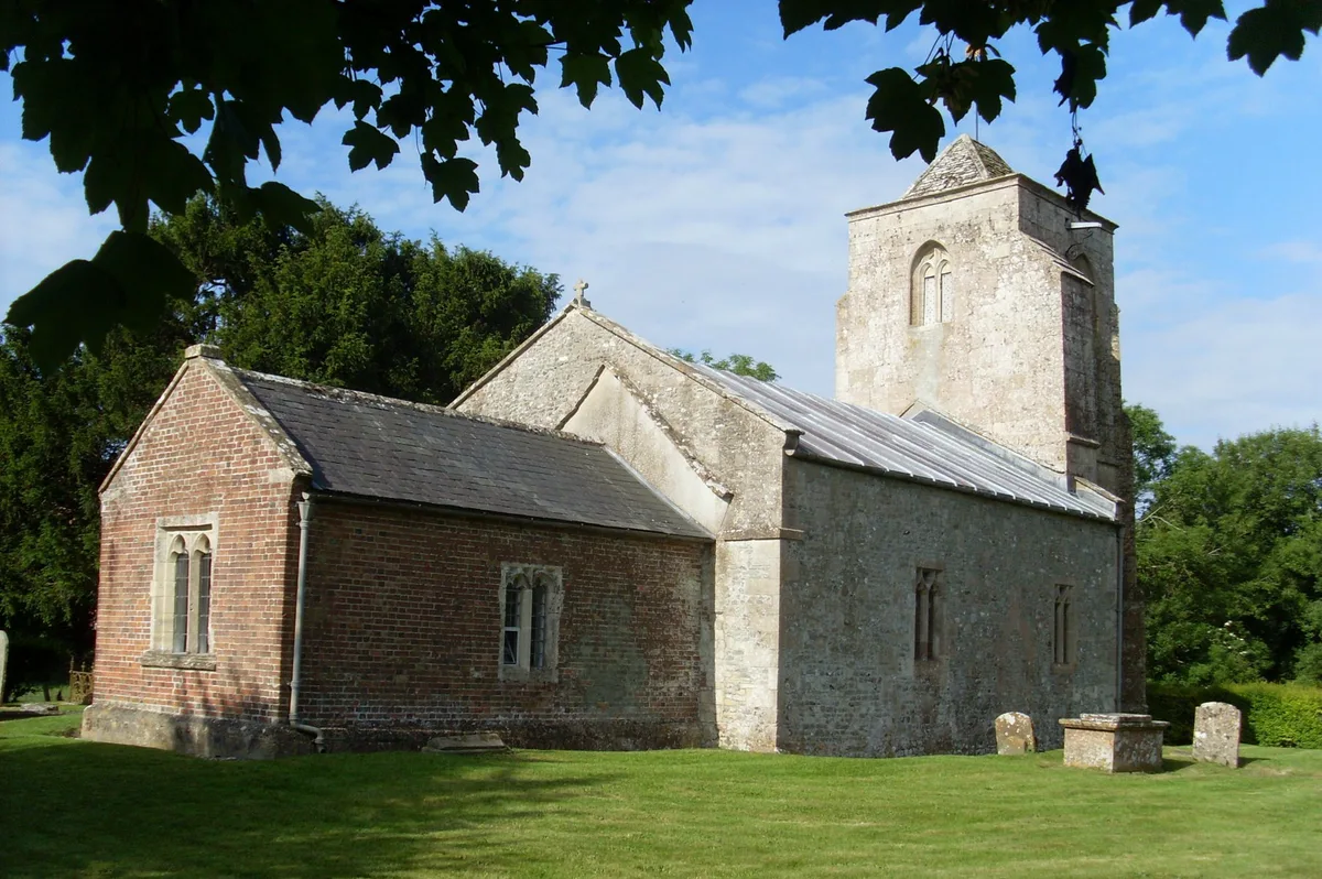
All Saints Church, Alton Priors
Historic churches · 1.6 km
.jpg?width=1200)
8 Alton Barnes
Historic houses · 1.7 km

Furze Hill
Mountains & hills · 1.8 km

Ray Popes' Photo Musuem
Museums · 1.8 km
Nearby
📷 5Archaeological sites · South East England
Alton Barnes White Horse
Alton Barnes White Horse — archaeological in england south east.
📷 5Archaeological sites · South East England
Adam's Grave
Adam's Grave — a archaeological in england-south-east, United Kingdom.
📷 5Archaeological sites · South East England
Adam's Grave
Adam's Grave — archaeological in england south east.
📷 5Mountains & hills · South East England
Walkers Hill
Walkers Hill — mountain in england south east. Elevation: 260 m.
📷 5📷 5Archaeological sites · South East England
Knap Hill Camp
Knap Hill Camp — a archaeological in england-south-east, United Kingdom.
Where to eat & stay near Alton Barnes White Horse
Places to stay
 📷 5
📷 5B&Bs · South West England
Puckshipton House
Puckshipton House — a bed-and-breakfast in england south east.
 📷 5
📷 5 📷 5
📷 5Campsites · South East England
The Woodbridge Camp SIte
The Woodbridge Camp SIte — a campsite in england south east.
 📷 5
📷 5Caravan parks · South East England
Charlton Manor
Charlton Manor — a caravan park in england south east.
 📷 5
📷 5Campsites · South East England
Totteridge Farm
Totteridge Farm — a campsite in england south east.
 📷 5
📷 5Campsites · South East England
The Bruce Arms Campsite
The Bruce Arms Campsite — a campsite in england south east.
Places to eat & drink
 📷 7
📷 7Cafés · South East England
St Peter's and St Paul's
St Peter's and St Paul's — a café in england south east.
 📷 7
📷 7 📷 7
📷 7Historic pubs · South West England
The Queens Head Inn
The Queens Head Inn in England South West, United Kingdom.
 📷 5
📷 5 📷 7
📷 7Historic pubs · South West England
Black Swan Hotel
Black Swan Hotel in England South West, United Kingdom.
 📷 7
📷 7Historic pubs · South West England
The Talbot Public House
The Talbot Public House in England South West, United Kingdom.
More natural landmarks in this region
 📷 5
📷 5Natural landmarks · South West England
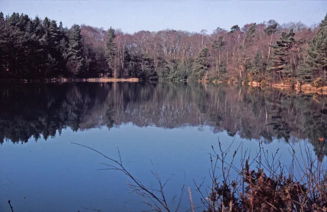
Blue Pool
Blue Pool — lake in Dorset, England, UK.
 📷 5
📷 5Natural landmarks · South West England
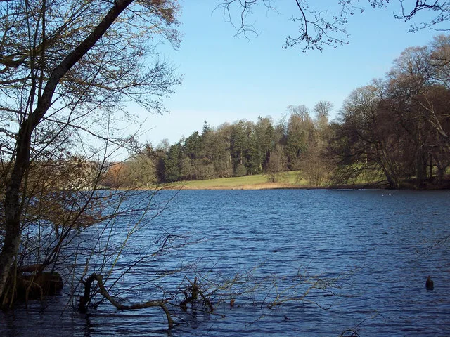
Fonthill Lake
Fonthill Lake — lake in Wiltshire, England, UK.
 📷 5
📷 5 📷 5
📷 5Natural landmarks · South West England
Orchardleigh Lake
Orchardleigh Lake — lake in the United Kingdom.
Frequently asked questions
- Where is Alton Barnes White Horse?
- Alton Barnes White Horse is in South-West England, United Kingdom (postcode SN8 4LD), in the parish of Alton.
- What is Alton Barnes White Horse?
- Alton Barnes White Horse is a chalk hill figure of a white horse located on Milk Hill, some 914 yards, 1,000 metres, north of the village of Alton Barnes, Wiltshire, England. The horse is approximatel
- How do I get to Alton Barnes White Horse?
- The nearest railway station is Pewsey, about 6.3 km away. Drivers can use postcode SN8 4LD.
- When was Alton Barnes White Horse built?
- Built or established in 1812.
- Is Alton Barnes White Horse a protected site?
- Yes — Alton Barnes White Horse is part of the Pewsey Downs SSSI Site of Special Scientific Interest and the PEWSEY DOWNS National Nature Reserve.
- How do I get to Alton Barnes White Horse?
- The nearest railway station is Pewsey, about 6.3 km away. Drivers can navigate to postcode SN8 4LD.