Country parks · North East England
Allensford
In or near Castleside.
Allensford in England North East, United Kingdom.

Peter McDermott — CC BY-SA 2.0 via Wikimedia Commons licence
Plan your visit
- Typical visit
- 1.5 h–3 h
- Free entry
- Family-friendly
- Dog-friendly
About
Allensford is a place of interest in England North East, United Kingdom — drawn from open-data sources for visitor reference. See the linked Wikipedia article for the full description.
Photo gallery
See it from the streetimagery from 2022
Imagery © Mapillary contributors, CC BY-SA 4.0
Protected designations
- Area of Outstanding Natural Beauty: North Pennines
Designations sourced from Natural England open data under OGL v3.
From the Wikipedia article
Allensford is a small country park and hamlet in County Durham, in England. It is where the A68 trunk road crosses the River Derwent, about 2 miles SW of Consett, and 1 mile north of Castleside. A small hamlet called Mosswood is situated half a mile to the north west on the A68, completing the settlement. Allensford was first recorded as Aleynforth in Bishop Hatfield's survey of c. 1382. The placename is sometimes listed as Allansford; "At Allansford...is a bridge over the Derwent into Northumberland, surrounded by some of the most beautiful scenery on that stream; there are a few cottages on each side of the river". It is uncertain when a bridge replaced the ford. However, a bridge was in existence in the late 17th century when the structure was in a "very ruinous and in greate decay” according to the Northumberland Quarter Sessions for 1687–1697. The modern bridge carries the A68 between Darlington and Edinburgh over the River Derwent. Allensford Mill farmhouse was originally called the Belsay Castle Inn, named after the estate of the Middleton family of Belsay Castle. Part of the inn was built in the late 17th century and may have been a bastle. Later additions continued throughout the 18th and 19th centuries. The inn was licensed until 1869. The upper room in the outbuilding served as a nonconformist chapel. Denis Hayford (c.1635–1733), a pioneer of the steel industry, acquired the lease of Allensford furnace and forge in 1692; this was upstream from his established business in Shotley Bridge. The lease seems to have lapsed in 1713. The site of the furnace is marked on Ordnance Survey maps.
Excerpt from Wikipedia under CC BY-SA 4.0. See the source article linked in Sources below.
Background
Description
It has a dedicated campsite. The adjacent woodland forms the Allensford Woods Local Nature Reserve, covering 17.5 ha. A path to the east of the campsite takes you along the Derwent, before veering sharply up hill and joining the Derwent Walk just below Consett. The Derwent Manor Boutique Hotel is half a mile away off a side ride turning north off the A68 and is well situated for access to the North Pennines and the nearby Derwent Reservoir and Derwent Gorge areas. There are two small waterfalls to the west of Allensford on streams running south-to-north into the River Derwent. About 400m to the west on Allensford along a public footpath is Wharnley Burn Waterfall on the Wharnley or…
Sourced from Wikipedia under CC BY-SA 4.0.
- Coordinates
- 54.8466, -1.8815
- District
- County Durham
- Parish
- County Durham, unparished area
- Postcode
- DH8 9BA
- Parliamentary constituency
- Blaydon and Consett
Sources
- wikidata: Q4732029 (CC0)
- wikipedia: Allensford (CC BY-SA 4.0)
Other places nearby

Wallishwalls Waterfall
Waterfalls · 0.2 km

Wharnley Burn Waterfall
Waterfalls · 0.3 km

Raven's Crag Linn (Waterfall)
Waterfalls · 0.6 km

Consett Academy
Other places · 1.0 km

Castleside
Towns & cities · 1.5 km

Shotley Grove
Historic bridges · 2.1 km

Bridgehill
Other places · 2.1 km

Healeyfield
Manor houses · 2.1 km

Consett Power Station
Other places · 2.1 km

Horseleyhope Linn Waterfall
Waterfalls · 2.2 km

Hownsgill Viaduct
Historic bridges · 2.2 km
Steel Circle
Public art & sculpture · 2.3 km
Nearby
📷 5Waterfalls · North East England
Wallishwalls Waterfall
Wallishwalls Waterfall — waterfall in scotland lowlands.
📷 5Waterfalls · North East England
Wharnley Burn Waterfall
Wharnley Burn Waterfall — waterfall in scotland lowlands.
📷 5Waterfalls · North East England
Raven's Crag Linn (Waterfall)
Raven's Crag Linn (Waterfall) — waterfall in scotland lowlands.
📷 3Other places · North East England
Consett Academy
Consett Academy in England North East, United Kingdom.
📷 5Towns & cities · North East England
Castleside
Castleside — village in County Durham, England, UK.
📷 3Historic bridges · North East England
Shotley Grove
Shotley Grove in England North East, United Kingdom.
Where to eat & stay near Allensford
Places to stay
 📷 5
📷 5Caravan parks · North East England
Hownsgill Caravan Park
Hownsgill Caravan Park — a caravan park in scotland lowlands.
 📷 5
📷 5Caravan parks · North East England
Bolbec Manor Campsite
Bolbec Manor Campsite — a caravan park in scotland lowlands.
 📷 5
📷 5Caravan parks · North East England
Manor Park Caravan Park
Manor Park Caravan Park — a caravan park in scotland lowlands.
 📷 5
📷 5Caravan parks · North East England
Bonners Lodge Caravan Park
Bonners Lodge Caravan Park — a caravan park in scotland lowlands.
 📷 5
📷 5Caravan parks · North East England
Struthers Farm Caravan Site
Struthers Farm Caravan Site — a caravan park in scotland lowlands.
📷 5Hostels · North East England
Edmundbyers Youth Hostel at Low House Haven
Edmundbyers Youth Hostel at Low House Haven — a hostel in scotland lowlands. Brand: Youth Hostels Association.
Places to eat & drink
 📷 4
📷 4Historic pubs · North East England
Delves Lane
Delves Lane in England North East, United Kingdom.
 📷 5
📷 5Historic pubs · North East England
Queens Head Public House
Queens Head Public House in Scotland Lowlands, United Kingdom.
 📷 4
📷 4 📷 5
📷 5Historic pubs · North East England
The Lord Crewe Arms Hotel
The Lord Crewe Arms Hotel in Scotland Lowlands, United Kingdom.
 📷 5
📷 5Cafés · North East England
The White Monk Tearoom
The White Monk Tearoom — a café in scotland lowlands.
 📷 4
📷 4More places in this region
 📷 4
📷 4Country parks · North East England
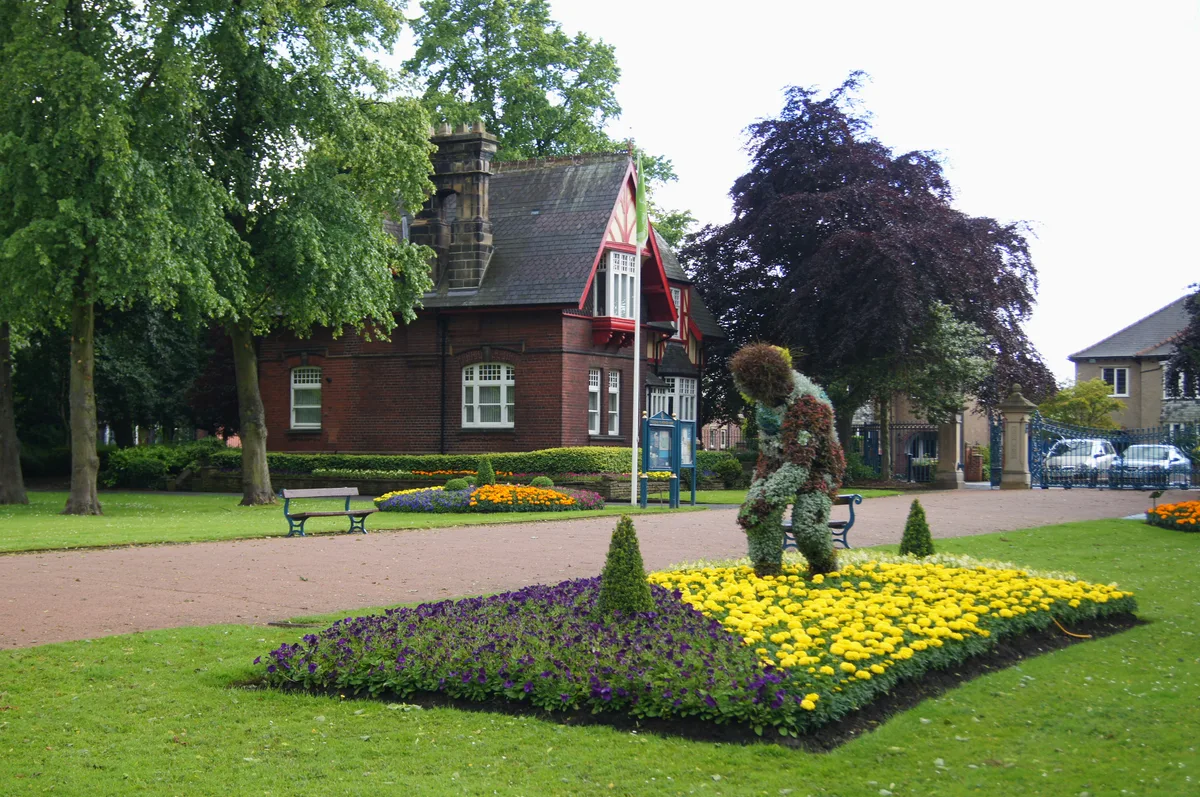
Ropner Park
Ropner Park — public park in Stockton-on-Tees, England.
 📷 4
📷 4Country parks · North East England
Albert Park
Albert Park — park in Middlesbrough, North Yorkshire, England, UK.
 📷 4
📷 4Country parks · North East England
Whitworth Hall, County Durham
Whitworth Hall, County Durham in England North East, United Kingdom.
 📷 4
📷 4Frequently asked questions
- Where is Allensford?
- Allensford is in North-East England, United Kingdom (postcode DH8 9BA), in the parish of County Durham, unparished area.
- What is Allensford?
- Allensford in England North East, United Kingdom.
- How do I get to Allensford?
- Drivers can use postcode DH8 9BA.
- Is Allensford a protected site?
- Yes — Allensford is part of the North Pennines National Landscape (AONB).
- Is Allensford free to visit?
- Yes, Allensford is free to enter.
- How do I get to Allensford?
- Drivers can navigate to postcode DH8 9BA. It sits within the Blaydon and Consett parliamentary constituency.