Manor houses · North East England
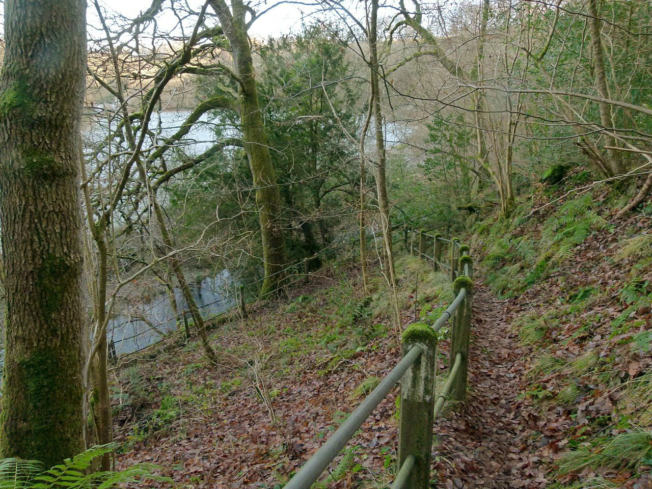
Healeyfield
In or near Castleside.
Healeyfield in England North East, United Kingdom.

Robert Graham — CC BY-SA 2.0 via Wikimedia Commons licence
Plan your visit
- Typical visit
- 1 h–2 h
- Limited wheelchair access
About
Healeyfield is a place of interest in England North East, United Kingdom — drawn from open-data sources for visitor reference. See the linked Wikipedia article for the full description.
Photo gallery
Protected designations
- Area of Outstanding Natural Beauty: North Pennines
Designations sourced from Natural England open data under OGL v3.
From the Wikipedia article
Healeyfield is a village and civil parish in County Durham, England. The population of the civil parish taken from the 2011 census was 1,544. It is situated to the south west of Consett. First documented in the Boldon Book as Heleie, “Alain de Chilton, holds Heley, as is contained in his charter, for Cornforth...”. The village is also listed in Bishops Hatfield's survey (1381) as Heley, "...being held by John de Chilton". The Chilton family seem to have held the manor and vill of Healyfield for 200 years as there is a charter of 1280 describing John of Chilton as Lord of Heleyfield (sic). As part of bishop Hugh du Puiset's extension and protection of his demesne, agriculture was pushed in the upper reaches of the Derwent valley including grants made to Healeyfield and other villages in the area. The place name probably means “the high clearing”. There may have been a medieval chapel located at Healeyfield (though there is some confusion in the records with a chapel at Rowley). The chapel at Rowley/Healeyfield is first mentioned in 1228 and again in 1291 (as Ruley). The site of the chapel is not known though in the nineteenth century a ruin described as a chapel was noted near Healeyfield. Healeyfield and the surrounding area had three lead mines; Healeyfield mine, Silvertongue mine and Dean Howl mine which were all disused by the 1920s. There was a smelting mill at nearby Watergate, Castleside. The mill was built in 1805 and this smelted ores from the Healeyfield mines changing over in 1913 to the smelting of lead residues. The mill ceased functioning in the 1920s. The village was the site of a prisoner of war camp during the First World War from where two prisoners escaped. The camp was established in August 1916 and the prisoners extracted ganister from a nearby quarry.
Excerpt from Wikipedia under CC BY-SA 4.0. See the source article linked in Sources below.
- Coordinates
- 54.8287, -1.8929
- District
- County Durham
- Parish
- Healeyfield
- Postcode
- DH8 9AW
- Parliamentary constituency
- North Durham
Sources
- wikidata: Q5690264 (CC0)
- wikipedia: Healeyfield (CC BY-SA 4.0)
Other places nearby

Healeyfield Bridge
Historic bridges · 0.6 km
Bridge Over Waskerley Walk
Historic bridges · 0.7 km

Whitehall picnic area
Natural landmarks · 0.8 km

Horseleyhope Linn Waterfall
Waterfalls · 0.8 km

Castleside
Towns & cities · 1.0 km

Horsleyhope
Other places · 1.1 km

Hisehope Linn (Waterfall)
Waterfalls · 1.2 km

Derwent Gorge and Horsleyhope Ravine
Caves · 1.7 km
Lime kiln at Lead Mill
Historic houses · 1.7 km
Lime kiln at Lead Mill
Archaeological sites · 1.7 km

Raven's Crag Linn (Waterfall)
Waterfalls · 1.7 km

Rowley Station picnic area
Natural landmarks · 1.7 km
Nearby
📷 3Historic bridges · North East England
Healeyfield Bridge
Healeyfield Bridge — Grade II listed building-listed bridge in scotland-lowlands, United Kingdom.
📷 3Historic bridges · North East England
Bridge Over Waskerley Walk
Bridge Over Waskerley Walk — Grade II listed building-listed bridge in scotland-lowlands, United Kingdom.
📷 3Natural landmarks · North East England
Whitehall picnic area
Whitehall picnic area — a other in scotland-lowlands, United Kingdom.
📷 5Waterfalls · North East England
Horseleyhope Linn Waterfall
Horseleyhope Linn Waterfall — waterfall in scotland lowlands.
📷 5Towns & cities · North East England
Castleside
Castleside — village in County Durham, England, UK.
📷 4Where to eat & stay near Healeyfield
Places to stay
 📷 5
📷 5Caravan parks · North East England
Hownsgill Caravan Park
Hownsgill Caravan Park — a caravan park in scotland lowlands.
 📷 5
📷 5Caravan parks · North East England
Bonners Lodge Caravan Park
Bonners Lodge Caravan Park — a caravan park in scotland lowlands.
 📷 5
📷 5Caravan parks · North East England
Manor Park Caravan Park
Manor Park Caravan Park — a caravan park in scotland lowlands.
 📷 5
📷 5Caravan parks · North East England
Bolbec Manor Campsite
Bolbec Manor Campsite — a caravan park in scotland lowlands.
 📷 5
📷 5Caravan parks · North East England
Struthers Farm Caravan Site
Struthers Farm Caravan Site — a caravan park in scotland lowlands.
📷 5Hostels · North East England
Edmundbyers Youth Hostel at Low House Haven
Edmundbyers Youth Hostel at Low House Haven — a hostel in scotland lowlands. Brand: Youth Hostels Association.
Places to eat & drink
 📷 4
📷 4Historic pubs · North East England
Delves Lane
Delves Lane in England North East, United Kingdom.
 📷 5
📷 5Historic pubs · North East England
Queens Head Public House
Queens Head Public House in Scotland Lowlands, United Kingdom.
 📷 5
📷 5Historic pubs · North East England
The Lord Crewe Arms Hotel
The Lord Crewe Arms Hotel in Scotland Lowlands, United Kingdom.
 📷 5
📷 5Cafés · North East England
The White Monk Tearoom
The White Monk Tearoom — a café in scotland lowlands.
 📷 5
📷 5Historic pubs · North East England
Black Bull Public House
Black Bull Public House in Scotland Lowlands, United Kingdom.
 📷 4
📷 4More places in this region
 📷 3
📷 3Manor houses · North East England
Medieval Manorial Site of Low Dinsdale
Medieval Manorial Site of Low Dinsdale — a manor in england-yorkshire, United Kingdom.
 📷 5
📷 5Manor houses · North East England
Newton Morrell
Newton Morrell in England North East, United Kingdom.
 📷 3
📷 3 📷 3
📷 3Manor houses · North East England
Ingleby Manor Free School & Sixth Form
Ingleby Manor Free School & Sixth Form in England North East, United Kingdom.
Frequently asked questions
- Where is Healeyfield?
- Healeyfield is in North-East England, United Kingdom (postcode DH8 9AW), in the parish of Healeyfield.
- What is Healeyfield?
- Healeyfield in England North East, United Kingdom.
- How do I get to Healeyfield?
- Drivers can use postcode DH8 9AW.
- Is Healeyfield a protected site?
- Yes — Healeyfield is part of the North Pennines National Landscape (AONB).
- How do I get to Healeyfield?
- Drivers can navigate to postcode DH8 9AW. It sits within the North Durham parliamentary constituency.