
Historic churches · East of England
All Saints Church, Icklingham
In or near Cavenham.
All Saints Church, Icklingham — church in Icklingham, Suffolk, England, UK.

Wikimedia Commons contributors — see linked file page for photographer and licence licence
.jpg)
Plan your visit
- Typical visit
- 30 min–1 h
- Nearest railway station
- Kennett · 9.3 km
- Free entry
About
All Saints Church, Icklingham is a historic church in the United Kingdom. Records date its origin to 1301. Built in the Norman architecture style. Heritage designation: Grade I listed building. Wikidata describes it as: "church in Icklingham, Suffolk, England, UK". Coordinates: 52.3228°, 0.6042°.
Photo gallery
See it from the streetimagery from 2024
Imagery © Mapillary contributors, CC BY-SA 4.0
Heritage listing
All Saints' Church is a redundant Anglican church in the village of Icklingham, Suffolk, England. It is recorded in the National Heritage List for England as a designated Grade I listed building, and is under the care of the Churches Conservation Trust. The church stands in the highest point in the village, adjacent to the A1101 road between Mildenhall and Bury St Edmunds. This was formerly the ancient trackway of Icknield Way, and Icklingham is close to an important junction on this trackway.
From the Historic England List Entry under OGL v3.
Protected designations
- Site of Special Scientific Interest: Breckland Forest SSSI
- Site of Special Scientific Interest: Breckland Farmland SSSI
Designations sourced from Natural England open data under OGL v3.
From the Wikipedia article
All Saints' Church is a redundant Anglican church in the village of Icklingham, Suffolk, England. It is recorded in the National Heritage List for England as a designated Grade I listed building, and is under the care of the Churches Conservation Trust. The church stands in the highest point in the village, adjacent to the A1101 road between Mildenhall and Bury St Edmunds. This was formerly the ancient trackway of Icknield Way, and Icklingham is close to an important junction on this trackway.
Excerpt from Wikipedia under CC BY-SA 4.0. See the source article linked in Sources below.
Background
History
A Roman Christian graveyard exists in Icklingham, and a baptismal font was found on the same site. The Icklingham font is made of lead, and is visible in the British Museum. Some of the fabric in the nave is Norman dating from the 11th or 12th century. It was declared redundant in the 1970s. Since passing into the care of the Churches Conservation Trust, its roof has been re-thatched in the traditional manner.
Architecture
The south arcade has four bays carried on octagonal piers with moulded capitals. On the north and south walls is a cornice carved with a frieze containing a variety of motifs. There is a trefoil-headed piscina in the south wall of the aisle, and another in the south wall of the chancel. Also in the chancel is a double aumbry. The chancel also contains many 14th-century mosaic tiles with line-impressed decorations, dating from the 14th century. The rood screen is still partly present, and there is a door and stairs to the previous rood loft. The limestone font dates from the 14th century. It is carried on five columns, and its octagonal bowl is carved with different tracery on each face. The…
Sourced from Wikipedia under CC BY-SA 4.0.
- Coordinates
- 52.3228, 0.6042
- County
- Suffolk
- District
- West Suffolk
- Parish
- Icklingham
- Postcode
- IP28 6PL
- Parliamentary constituency
- West Suffolk
- Established
- 1301
- Nearest railway station
- Kennett — 9.3 km
- Official site
- www.visitchurches.org.uk
Sources
- wikidata: Q4729482 (CC0)
- wikipedia: All Saints' Church, Icklingham (CC BY-SA 4.0)
- commons: Icklingham - Church of All Saints (2).jpg (CC BY-SA 4.0)
Other places nearby

Icklingham Village Sign
Public art & sculpture · 0.0 km

Icklingham
Villages · 0.8 km

Icklingham Roman settlement
Archaeological sites · 1.1 km

Ramparts Field
Natural landmarks · 1.6 km

Neolithic ring ditch
Archaeological sites · 2.4 km

King's Forest Caravan Park
Caravan parks · 2.5 km
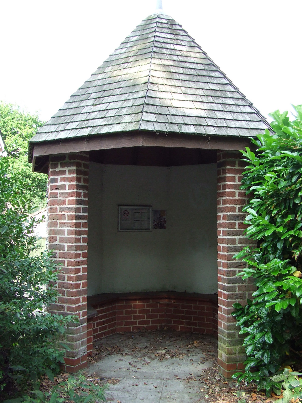
Lackford
Villages · 2.5 km

West Stow Anglo Saxon Village
Natural landmarks · 2.6 km

West Stow Anglo Saxon Village
Archaeological sites · 2.6 km

Lackford Manor
Manor houses · 2.6 km

West Stow Anglo-Saxon Museum
Museums · 2.6 km

Lackford Village Sign
Public art & sculpture · 2.9 km
Nearby
📷 3Public art & sculpture · East of England
Icklingham Village Sign
Icklingham Village Sign — a public art in East of England, United Kingdom.
📷 5📷 3Archaeological sites · East of England
Icklingham Roman settlement
Icklingham Roman settlement — an archaeological site in East of England, United Kingdom.
📷 3Natural landmarks · East of England
Ramparts Field
Ramparts Field — a place in East of England, United Kingdom.
📷 3Archaeological sites · East of England
Neolithic ring ditch
Neolithic ring ditch — an archaeological site in East of England, United Kingdom.
📷 5Caravan parks · East of England
King's Forest Caravan Park
King's Forest Caravan Park — a caravan park in england east.
Where to eat & stay near All Saints Church, Icklingham
Places to stay
📷 5Caravan parks · East of England
King's Forest Caravan Park
King's Forest Caravan Park — a caravan park in england east.
 📷 5
📷 5 📷 7
📷 7 📷 5
📷 5 📷 7
📷 7Hotels · East of England
Riverside House Hotel
Riverside House Hotel — a hotel in england east.
 📷 5
📷 5Places to eat & drink
 📷 7
📷 7Historic pubs · East of England
The White Horse Public House Cottage And Coach House
The White Horse Public House Cottage And Coach House in England East, United Kingdom.
 📷 7
📷 7Historic pubs · East of England
Three Kings Public House And Attached House Stable Block
Three Kings Public House And Attached House Stable Block in England East, United Kingdom.
 📷 5
📷 5Historic pubs · East of England
The Cock Public House
The Cock Public House in England East, United Kingdom.
 📷 6
📷 6Historic pubs · East of England
The Linden Tree Public House
The Linden Tree Public House in England East, United Kingdom.
 📷 5
📷 5Historic pubs · East of England
The Golden Boar Public House
The Golden Boar Public House in England East, United Kingdom.
 📷 6
📷 6Historic pubs · East of England
The Bushel Public House
The Bushel Public House in England East, United Kingdom.
Other places from this era
 📷 5
📷 5Historic churches · London
All Hallows Staining
All Hallows Staining — church in City of London, UK.
 📷 5
📷 5Historic churches · London
All Hallows' Church, Tottenham
All Hallows' Church, Tottenham — church in Tottenham, London.
 📷 5
📷 5Historic churches · London
All Saints Church, Kingston upon Thames
All Saints Church, Kingston upon Thames — church in Kingston upon Thames, London.
 📷 5
📷 5Historic churches · London
All Saints' Church, Edmonton
All Saints' Church, Edmonton — church in Edmonton, London.
More places in this region
 📷 5
📷 5Historic churches · East of England
All Saints Church
All Saints Church — church on Jesus Lane in central Cambridge, England.
 📷 5
📷 5Historic churches · East of England
All Saints Church, Conington
All Saints Church, Conington — church in Conington, Huntingdonshire, Cambridgeshire, England, UK.
 📷 5
📷 5Historic churches · East of England
All Saints Church, Vange
All Saints Church, Vange — church in Basildon, Essex, England, UK.
 📷 5
📷 5Historic churches · East of England
All Saints Parish Church, Kirtling
All Saints Parish Church, Kirtling — church in East Cambridgeshire, England, UK.
Frequently asked questions
- Where is All Saints Church, Icklingham?
- All Saints Church, Icklingham is in Suffolk, East of England, United Kingdom (postcode IP28 6PL), in the parish of Icklingham.
- What is All Saints Church, Icklingham?
- All Saints Church, Icklingham — church in Icklingham, Suffolk, England, UK.
- How do I get to All Saints Church, Icklingham?
- The nearest railway station is Kennett, about 9.3 km away. The nearest town is Cavenham. Drivers can use postcode IP28 6PL.
- When was All Saints Church, Icklingham built?
- Built or established in 1301.
- Is All Saints Church, Icklingham a listed building?
- All Saints Church, Icklingham is officially recognised as Grade I listed building listed.
- Is All Saints Church, Icklingham a protected site?
- Yes — All Saints Church, Icklingham is part of the Breckland Forest SSSI Site of Special Scientific Interest and the Breckland Farmland SSSI Site of Special Scientific Interest.
- Is All Saints Church, Icklingham free to visit?
- Yes, All Saints Church, Icklingham is free to enter.
- How do I get to All Saints Church, Icklingham?
- Drivers can navigate to postcode IP28 6PL. It sits within the West Suffolk parliamentary constituency.