Islands · Scottish Islands
Àird Uig
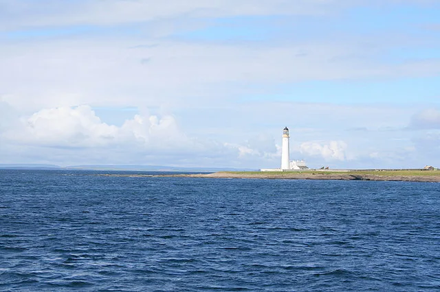
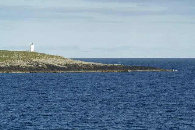
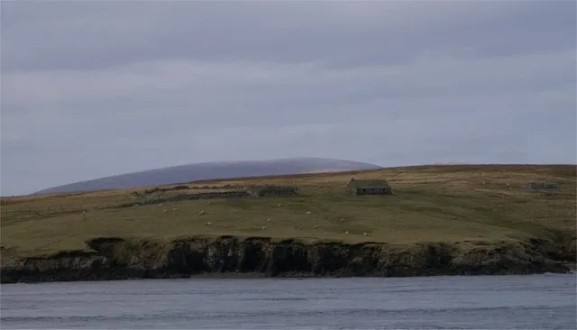
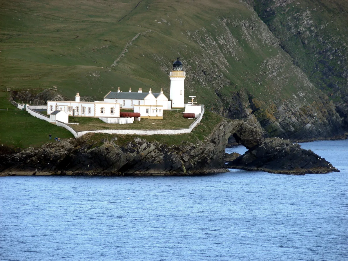
Àird Uig in Scotland Islands, United Kingdom.

Dave Fergusson — CC BY-SA 2.0 via Wikimedia Commons licence
Plan your visit
- Typical visit
- 4 h–12 h
About
Àird Uig is a place of interest in Scotland Islands, United Kingdom — drawn from open-data sources for visitor reference. See the linked Wikipedia article for the full description.
Photo gallery
From the Wikipedia article
Aird Uig (Scottish Gaelic: Àird Ùig) is a village on the Isle of Lewis, in the Outer Hebrides, Scotland. Aird Uig is within the parish of Uig, and is situated on the C40 minor road which joins to the B8011 at Timsgarry. The township includes 700 hectares (1,700 acres) of common grazings to the east and west of the village. Aird Uig is a village of two distinctive characters. The south end is composed of a traditional crofting community whilst the north end is a composite of army barracks and buildings many of which have been converted into homes. The Headquarters and NAAFI shop building are now the Gallan Head Hotel & Restaurant.
Excerpt from Wikipedia under CC BY-SA 4.0. See the source article linked in Sources below.
Background
History
Aird Uig was first settled in 1825 by crofters evicted from a nearby township of Carnish. Aird was chosen because of its remoteness and it was very difficult land to work, therefore of no interest to landowners.
Sourced from Wikipedia under CC BY-SA 4.0.
- Coordinates
- 58.2294, -7.0273
Sources
Other places nearby
Loading nearby places…
Nearby
 📷 3
📷 3Islands · Scottish Islands
RAF Aird Uig
RAF Aird Uig in Scotland Islands, United Kingdom.
 📷 3
📷 3Museums · Scottish Islands
Timsgarry
Timsgarry in Scotland Islands, United Kingdom.
 📷 3
📷 3Beaches · Scottish Islands
Cliff
Cliff in Scotland Islands, United Kingdom.
 📷 3
📷 3Cemeteries · Scottish Islands
Kneep
Kneep in Scotland Islands, United Kingdom.
Islands · Scottish Islands
Ardroil
Ardroil in Scotland Islands, United Kingdom.
 📷 3
📷 3Memorials & monuments · Scottish Islands
Stac Dhòmhnaill Chaim
Stac Dhòmhnaill Chaim in Scotland Islands, United Kingdom.
More places in this region
 📷 3
📷 3Islands · Scottish Islands
Auskerry
Auskerry — small island in eastern Orkney, Scotland, UK.
 📷 3
📷 3Islands · Scottish Islands
Balta
Balta — island of the Shetland Islands, Scotland, UK, east of Unst.
 📷 3
📷 3Islands · Scottish Islands
Bigga
Bigga — an uninhabited island in the Yell Sound between the Mainland and Yell in Shetland, Scotland.
 📷 3
📷 3Islands · Scottish Islands
Bressay
Bressay — populated island in the Shetland Islands, Scotland, UK.
Frequently asked questions
- Where is Àird Uig?
- Àird Uig is in Scottish Islands, in the United Kingdom — coordinates 58.2294°, -7.0273°.