
Reservoirs & lochs · Scottish Highlands
Achaphubuil
Also known as: Achadh a' Phùbaill
Achaphubuil in Scotland Islands, United Kingdom.

Richard Webb — CC BY-SA 2.0 via Wikimedia Commons licence

Plan your visit
- Typical visit
- 1 h–2.5 h
- Nearest railway station
- Corpach · 1.3 km
- Free entry
- Dog-friendly
Getting there & planning your visit
Achaphubuil is located in the Scottish Highlands, with the nearest railway station being Corpach, approximately 1.3 km away. The postcode for navigation is PH33 7AL, and entry to the reservoir is free.
About
Achaphubuil is a place of interest in Scotland Islands, United Kingdom — drawn from open-data sources for visitor reference. See the linked Wikipedia article for the full description.
Photo gallery
See it from the streetimagery from 2021
Imagery © Mapillary contributors, CC BY-SA 4.0
From the Wikipedia article
Achaphubuil (Scottish Gaelic: Achadh a' Phùbaill- the field of the tent or pavilion) is a small settlement to the north of Ardgour in Lochaber, in the Highlands of Scotland. Achaphubuil lies to the south of The Narrows, which link Loch Linnhe to Loch Eil. The village of Corpach is on the opposite shore, with Fort William across Loch Linnhe to the north-east. Achaphubuil is spread out along the A861 road, which runs along the shore of the loch. There was a foot ferry between Achaphubuil and Corpach across Loch Eil. Achaphubuil had a small primary school, which closed in 2010.
Excerpt from Wikipedia under CC BY-SA 4.0. See the source article linked in Sources below.
- Coordinates
- 56.8362, -5.1404
- District
- Highland
- Postcode
- PH33 7AL
- Parliamentary constituency
- Argyll, Bute and South Lochaber
- Nearest railway station
- Corpach — 1.3 km
Sources
- wikidata: Q2332114 (CC0)
- wikipedia: Achaphubuil (CC BY-SA 4.0)
Other places nearby

Monument to Colonel John Cameron
Memorials & monuments · 1.0 km
Kilmallie Old Parish Church, Corpach
Historic churches · 1.0 km
Sir Alexander Cameron of Inverailort Memorial
Memorials & monuments · 1.1 km
Cameron Memorial, Kilmallie Parish Church, Corpach
Memorials & monuments · 1.1 km
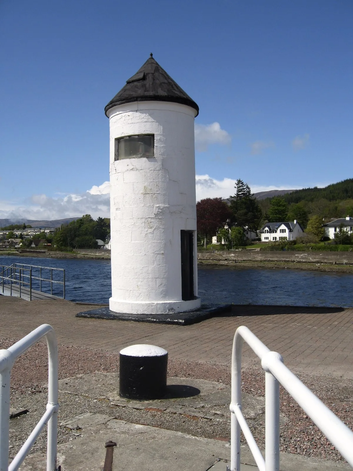
Corpach Lighthouse
Lighthouses · 1.2 km

Treslaig Tower Viewpoint
Viewpoints · 1.2 km

Treasures of the Earth
Museums · 1.3 km

Corpach
Reservoirs & lochs · 1.3 km

Corpach railway station
Reservoirs & lochs · 1.3 km

Kilmallie Stone Circle
Stone circles · 1.4 km

The Old Boat of Caol
Natural landmarks · 1.5 km

Linnhe Lochside Holiday Park
Campsites · 1.7 km
Nearby
📷 3Memorials & monuments · Scottish Highlands
Monument to Colonel John Cameron
Monument to Colonel John Cameron — a memorial in scotland-highlands, United Kingdom.
📷 5Historic churches · Scottish Highlands
Kilmallie Old Parish Church, Corpach
Kilmallie Old Parish Church, Corpach — category C listed building-listed church in scotland-highlands, United Kingdom.
📷 3Memorials & monuments · Scottish Highlands
Sir Alexander Cameron of Inverailort Memorial
Sir Alexander Cameron of Inverailort Memorial — a memorial in scotland-highlands, United Kingdom.
📷 5Memorials & monuments · Scottish Highlands
Cameron Memorial, Kilmallie Parish Church, Corpach
Cameron Memorial, Kilmallie Parish Church, Corpach — category C listed building-listed memorial in scotland-highlands, United Kingdom.
📷 3Lighthouses · Scottish Highlands
Corpach Lighthouse
Corpach Lighthouse — lighthouse alongside the sea lock at Corpach, Highland, Scotland.
📷 3Viewpoints · Scottish Highlands
Treslaig Tower Viewpoint
Treslaig Tower Viewpoint is a viewpoint in the United Kingdom.
Where to eat & stay near Achaphubuil
Places to stay
📷 5Campsites · Scottish Highlands
Linnhe Lochside Holiday Park
Linnhe Lochside Holiday Park — a campsite in scotland highlands.
 📷 5
📷 5 📷 5
📷 5Hotels · Scottish Highlands
Best Western Imperial Hotel
Best Western Imperial Hotel — a hotel in scotland highlands. 3-star. Brand: Best Western.
 📷 5
📷 5 📷 5
📷 5Hostels · Scottish Highlands
Bank Street Lodge
Bank Street Lodge — a hostel in scotland highlands.
 📷 5
📷 5Hostels · Scottish Highlands
Chase The Wild Goose
Chase The Wild Goose — a hostel in scotland highlands.
Places to eat & drink
 📷 4
📷 4Historic pubs · Scottish Highlands
Clachaig Inn
Clachaig Inn in Scotland Islands, United Kingdom.
More places in this region
 Flagship📷 3
Reservoirs & lochs · Scottish Highlands
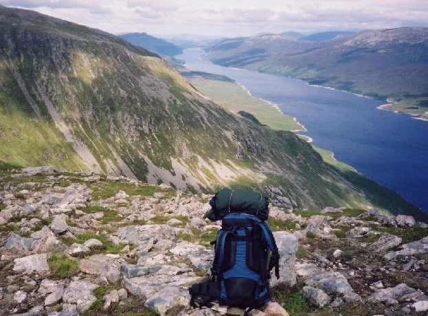
Loch Ericht
Loch Ericht — lake in Perth and Kinross, and Highland, Scotland, UK, outflows to River Ericht.
 Flagship📷 3
Reservoirs & lochs · Scottish Highlands
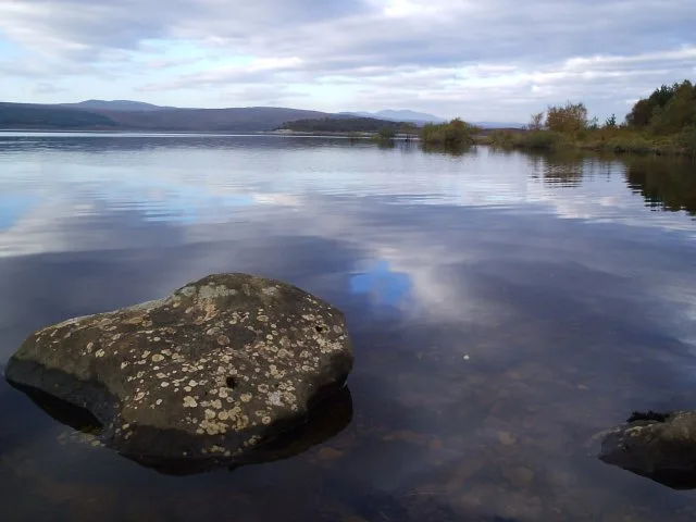
Loch Shin
Loch Shin — reservoir in Highland, Scotland, UK, outflows to the River Shin.
 📷 4
📷 4Reservoirs & lochs · Scottish Highlands
Backwater Reservoir
Backwater Reservoir — lake in Angus, Scotland, UK.
 📷 3
📷 3Reservoirs & lochs · Scottish Highlands
Blackwater Reservoir
Blackwater Reservoir — reservoir in Highland, Scotland, UK, outflows to the River Leven.
Frequently asked questions
- Where is Achaphubuil?
- Achaphubuil is in the Scottish Highlands, United Kingdom (postcode PH33 7AL).
- What is Achaphubuil?
- Achaphubuil in Scotland Islands, United Kingdom.
- How do I get to Achaphubuil?
- The nearest railway station is Corpach, about 1.3 km away. Drivers can use postcode PH33 7AL.
- Is Achaphubuil free to visit?
- Yes, Achaphubuil is free to enter.
- How do I get to Achaphubuil?
- The nearest railway station is Corpach, about 1.3 km away. Drivers can navigate to postcode PH33 7AL.