
Reservoirs & lochs · Scottish Highlands
A838 road
A838 road in Scotland Islands, United Kingdom.

Chris Wimbush — CC BY-SA 2.0 via Wikimedia Commons licence

Plan your visit
- Typical visit
- 1 h–2.5 h
- Free entry
- Dog-friendly
About
A838 road is a place of interest in Scotland Islands, United Kingdom — drawn from open-data sources for visitor reference. See the linked Wikipedia article for the full description.
Photo gallery
See it from the streetimagery from 2019
Imagery © Mapillary contributors, CC BY-SA 4.0
Official information
The A838 road is a scenic route in the northern Highlands of Scotland, connecting various towns and landscapes. It offers stunning views of the countryside and access to local attractions along the way.
From the Wikipedia article
The A838 is a major road in Sutherland, in the Highland area of Scotland. It runs generally northwest from the A836 in the Lairg area to Laxford Bridge on the west coast of Scotland, then generally northeast to Durness on the north coast, and then generally east/southeast to Tongue, where it rejoins the A836. The A836 takes a more direct route from Lairg to Tongue. The A838 has a junction with two other classified roads, the A894 at Laxford Bridge, and the B801 at Rhiconich. Between Lairg and Laxford Bridge the road runs close to five lochs: Loch Shin, Loch a' Ghriama, Loch Merkland, Loch More and Loch Stack as well as the coastal inlet of the Kyle of Durness. Between Durness and Tongue the road loops south to skirt Loch Eriboll, and the Kyle of Tongue Bridge and causeway cross the Kyle of Tongue.
Excerpt from Wikipedia under CC BY-SA 4.0. See the source article linked in Sources below.
- Coordinates
- 58.3327, -4.9249
- Official site
- maps.google.co.uk
Sources
Other places nearby

Loch Stack
Mountains & hills · 0.5 km

Rubh Aird a' Mhadaidh
Mountains & hills · 0.9 km

Cnoc Grosvenor
Mountains & hills · 1.1 km
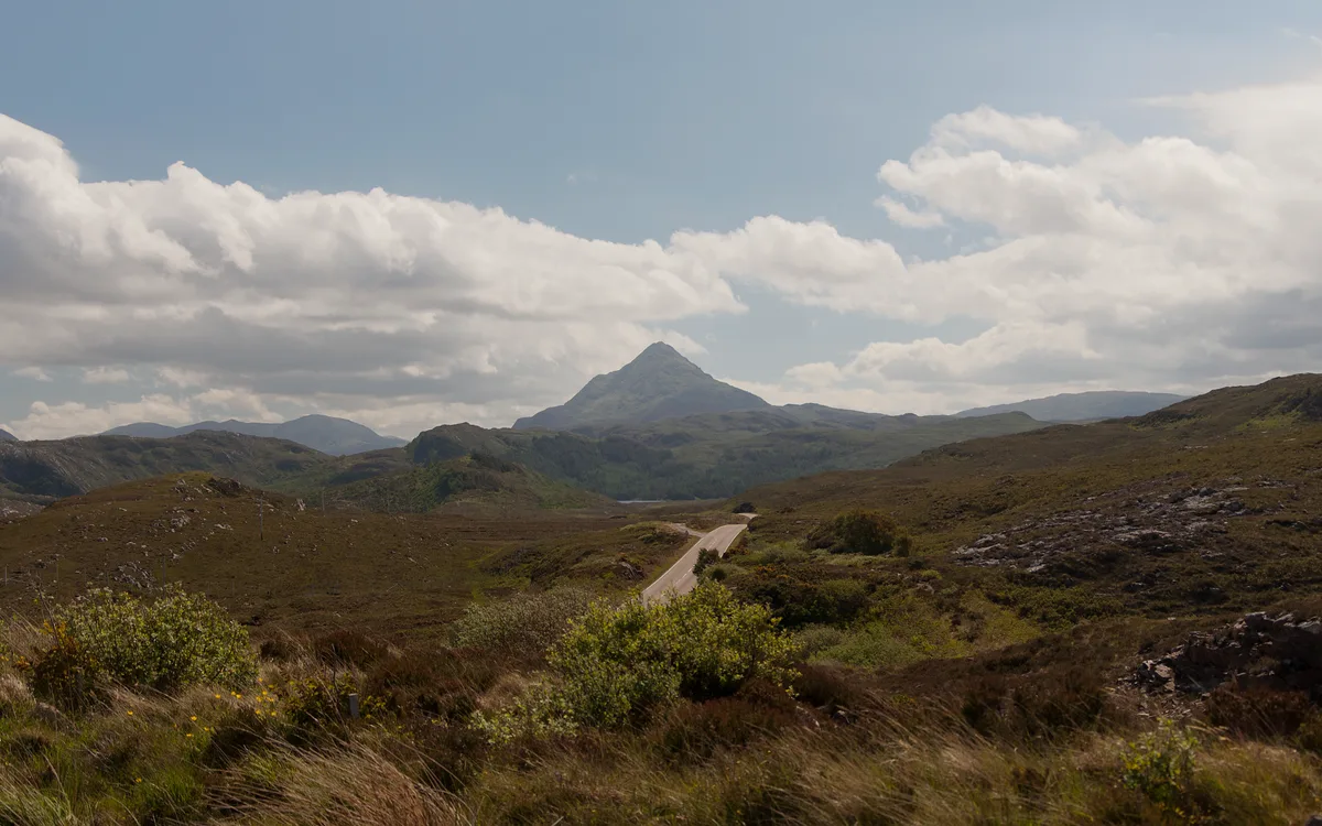
Ben Stack
Mountains & hills · 1.8 km
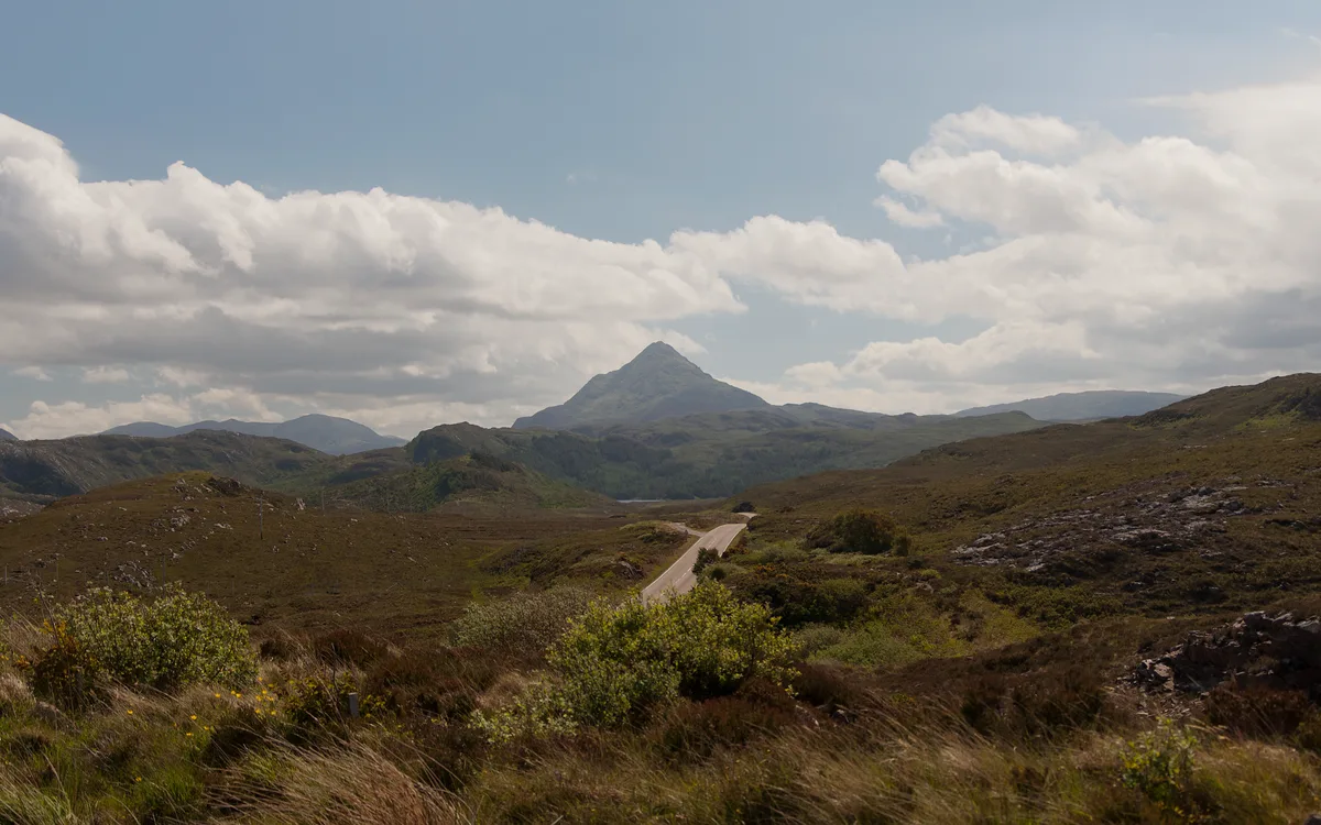
Ben Stack
Natural landmarks · 1.9 km

Achfary
Cathedrals · 2.4 km

Lone
Villages · 2.4 km

Eas Allt Horn
Natural landmarks · 2.8 km

Stepping stones - bridge
Historic bridges · 3.2 km

Eas an Aighe
Natural landmarks · 3.2 km

Ben Screavie
Mountains & hills · 3.3 km
Ben Screavie
Mountains & hills · 3.3 km
Nearby
📷 4Mountains & hills · Scottish Highlands
Loch Stack
Loch Stack in Scotland Islands, United Kingdom.
📷 5Mountains & hills · Scottish Highlands
Rubh Aird a' Mhadaidh
Rubh Aird a' Mhadaidh — a hill or mountain in scotland highlands.
📷 5Mountains & hills · Scottish Highlands
Cnoc Grosvenor
Cnoc Grosvenor — a hill or mountain in scotland highlands.
📷 4📷 4Natural landmarks · Scottish Highlands
Ben Stack
Ben Stack — 720m high mountain in Highland, Scotland, UK.
📷 4Where to eat & stay near A838 road
Places to stay
 📷 5
📷 5Campsites · Scottish Highlands
Scourie Caravan and Campsite
Scourie Caravan and Campsite — a campsite in scotland highlands.
 📷 5
📷 5 📷 5
📷 5 📷 5
📷 5Caravan parks · Scottish Highlands
Choraidh Croft
Choraidh Croft — a caravan park in scotland highlands.
More places in this region
 Flagship📷 3
Reservoirs & lochs · Scottish Highlands
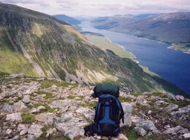
Loch Ericht
Loch Ericht — lake in Perth and Kinross, and Highland, Scotland, UK, outflows to River Ericht.
 Flagship📷 3
Reservoirs & lochs · Scottish Highlands
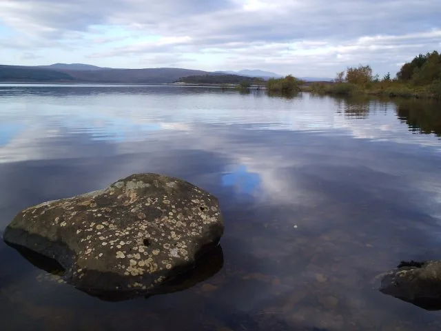
Loch Shin
Loch Shin — reservoir in Highland, Scotland, UK, outflows to the River Shin.
 📷 4
📷 4Reservoirs & lochs · Scottish Highlands
Backwater Reservoir
Backwater Reservoir — lake in Angus, Scotland, UK.
 📷 3
📷 3Reservoirs & lochs · Scottish Highlands
Blackwater Reservoir
Blackwater Reservoir — reservoir in Highland, Scotland, UK, outflows to the River Leven.
Frequently asked questions
- Where is A838 road?
- A838 road is in the Scottish Highlands, United Kingdom.
- What is A838 road?
- A838 road in Scotland Islands, United Kingdom.
- How do I get to A838 road?
- Its coordinates are 58.3327°, -4.9249°.
- Is A838 road free to visit?
- Yes, A838 road is free to enter.