
Natural landmarks · Northern Ireland
A34 road
In or near Newtownbutler.
A34 road in Northern Ireland, United Kingdom.

Kenneth Allen — CC BY-SA 2.0 via Wikimedia Commons licence

Plan your visit
- Typical visit
- 1 h–2 h
- Free entry
- Dog-friendly
About
A34 road is a place of interest in Northern Ireland, United Kingdom — drawn from open-data sources for visitor reference. See the linked Wikipedia article for the full description.
Photo gallery
See it from the streetimagery from 2025
Imagery © Mapillary contributors, CC BY-SA 4.0
From the Wikipedia article
The A34 is a road in County Fermanagh in Northern Ireland. The route carries traffic from the A4 in Maguiresbridge (east of Enniskillen) via Lisnaskea and Newtownbutler (connecting with the B533 to Wattlebridge on the A3) to Clones in County Monaghan. The route is 15.2 miles long, however the last 1.2 miles lie in the Republic of Ireland, forming part of the R183 at Clones. The R183 continues to Castleblaney. The A34 runs to the east of Upper Lough Erne. The section between Lisnaskea and Newtownbutler once formed the old coach road between Dublin and Enniskillen.
Excerpt from Wikipedia under CC BY-SA 4.0. See the source article linked in Sources below.
- Coordinates
- 54.2218, -7.4111
- District
- Fermanagh and Omagh
- Postcode
- BT92 0FA
- Parliamentary constituency
- Fermanagh and South Tyrone
Sources
- wikidata: Q4649159 (CC0)
- wikipedia: A34 road (Northern Ireland) (CC BY-SA 4.0)
Other places nearby

Donagh
Natural landmarks · 1.3 km

Donagh
Villages · 1.9 km

Sidaire
Natural landmarks · 2.6 km
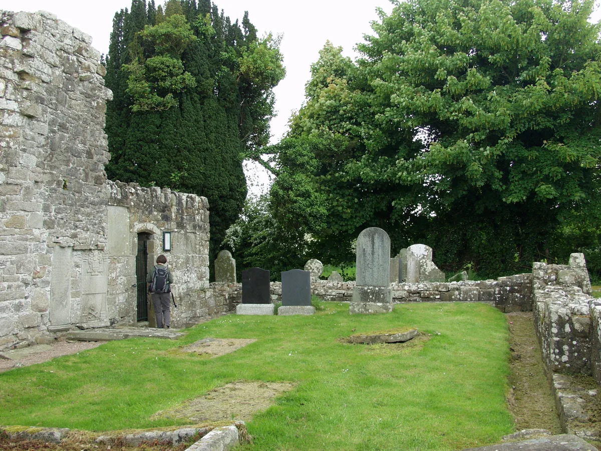
Aghalurcher Monastery
Abbeys & priories · 3.0 km
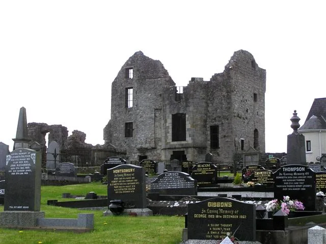
Castle Balfour
Castles · 3.9 km

Astral Cinema
Theatres · 3.9 km

Castle Balfour Demesne
Castles · 4.0 km

Salry
Natural landmarks · 4.0 km

Celtic High Cross
Memorials & monuments · 4.0 km

Lisnaskea
Villages · 4.0 km

Lisnaskea
Natural landmarks · 4.1 km

St. Ronan's Hall
Theatres · 4.3 km
Nearby
📷 4📷 5📷 4📷 3Abbeys & priories · Northern Ireland
Aghalurcher Monastery
Aghalurcher Monastery — pre-Norman ruins in County Fermanagh, Northern Ireland.
📷 5📷 3Where to eat & stay near A34 road
Places to stay
 📷 5
📷 5 📷 3
📷 3Caravan parks · Northern Ireland
Lisnaskea Caravan Park
Lisnaskea Caravan Park — a caravan park in northern ireland.
 📷 5
📷 5Caravan parks · Northern Ireland
Round Lake Caravan Park
Round Lake Caravan Park — a caravan park in northern ireland.
 📷 4
📷 4Caravan parks · Northern Ireland
Riverside Farm, Marina & Caravan Park
Riverside Farm, Marina & Caravan Park — a caravan park in northern ireland.
 📷 5
📷 5Caravan parks · Northern Ireland
Round Lake Caravan Park
Round Lake Caravan Park — a caravan park in northern ireland.
More natural landmarks in this region
 Flagship📷 4
Natural landmarks · Northern Ireland
Lough Erne
Lough Erne — lake in County Fermanagh, Northern Ireland, UK.
 Flagship📷 4
Natural landmarks · Northern Ireland
Lough Neagh
Lough Neagh — large lake in Northern Ireland.
 📷 3
📷 3Natural landmarks · Northern Ireland
Ballysaggart Lough
Ballysaggart Lough — lake in the United Kingdom.
 📷 5
📷 5Natural landmarks · Northern Ireland
Belmore Mountain
Belmore Mountain — mountain in the United Kingdom.
Frequently asked questions
- Where is A34 road?
- A34 road is in Northern Ireland, United Kingdom (postcode BT92 0FA).
- What is A34 road?
- A34 road in Northern Ireland, United Kingdom.
- How do I get to A34 road?
- Drivers can use postcode BT92 0FA.
- Is A34 road free to visit?
- Yes, A34 road is free to enter.
- How do I get to A34 road?
- Drivers can navigate to postcode BT92 0FA. It sits within the Fermanagh and South Tyrone parliamentary constituency.