
Historic churches · South East England
Zoar Strict Baptist Chapel
In or near Chiddingly.
Zoar Strict Baptist Chapel — church in United Kingdom.

Wikimedia Commons contributors — see linked file page for photographer and licence licence

Plan your visit
- Typical visit
- 30 min–1 h
- Nearest railway station
- Berwick · 6.1 km
- Free entry
Getting there & planning your visit
To visit Zoar Strict Baptist Chapel, the nearest railway station is Berwick, located 6.1 km away. The postcode for sat-nav is BN27 4GA, and entry is free.
About
Zoar Strict Baptist Chapel is a historic church in the United Kingdom. Records date its origin to 1838. Built in the classical architecture style. Wikidata describes it as: "church in United Kingdom". Coordinates: 50.8790°, 0.2270°.
Photo gallery
Protected designations
- Area of Outstanding Natural Beauty: High Weald
Designations sourced from Natural England open data under OGL v3.
From the Wikipedia article
Zoar Strict Baptist Chapel is a Strict Baptist place of worship in the hamlet of Lower Dicker in the English county of East Sussex. Founded in 1837 and originally known as The Dicker Chapel, the "large and impressive" Classical/Georgian-style building stands back from a main road in a rural part of East Sussex. The 800-capacity building included a schoolroom and stables when built, and various links exist between people and pastors associated with the chapel and other Strict Baptist and Calvinistic causes in the county, which is "particularly well endowed with [such] chapels". The chapel was built in 1837–38 and substantially extended in 1874. It has its own burial ground, extended in 1880. After a brief attempt by the first pastor to run the chapel along mixed denominational lines—serving Strict Baptist and Calvinistic Independent worshippers—it assumed a solely Strict Baptist identity, which it retains as of 2026. Six permanent pastors have administered the chapel during its existence: one served for more than 50 years.
Excerpt from Wikipedia under CC BY-SA 4.0. See the source article linked in Sources below.
Background
History
The name Dicker originally described a large area of land near the River Cuckmere and South Downs, several miles inland from the English Channel. No reference to Dicker was made in the Domesday Book of 1086, and much of the area was unenclosed common land. It was crossed by a highway (the present A22), south of which was a major religious house, Michelham Priory. This gradually declined and was abandoned at the Dissolution of the Monasteries in 1536. The scattered settlements at Lower Dicker and Upper Dicker developed slowly and only gained their present names in the 18th century. Lower Dicker is now a linear settlement along the A22, but in the early 19th century little existed at the…
Architecture
s and an open pediment.]] Strict Baptist chapels are characteristically "modest in scale, neat in complexion and restrained" architecturally, but Zoar Chapel is unusually "large and impressive" for the denomination. Set back from the main road in a large graveyard, behind a low hedgerow and with some formally placed yew trees, it has "an atmosphere of grandeur". The building is Classical in style with some Georgian elements. The front is rendered and has a gabled roof with an open pediment in which a recessed circular plaque is inset. This gives the dates of construction (1837) and enlargement (1874). Also on the façade are pilasters and an entrance porch. All of this work dates from the…
Description
The Biblical city of Zoar, now rendered Zoara, gives its name to the chapel and to others in neighbouring West Sussex: at Handcross (founded 1775; still Strict Baptist) and Wisborough Green (founded 1753; now Evangelical). Former chapels of that name, neither of which survived the 19th century, were at Brighton (Windsor Street) and Hastings in East Sussex. There are several others elsewhere in England.
Sourced from Wikipedia under CC BY-SA 4.0.
- Coordinates
- 50.8790, 0.2270
- County
- East Sussex
- District
- Wealden
- Parish
- Hellingly
- Postcode
- BN27 4GA
- Parliamentary constituency
- Sussex Weald
- Established
- 1838
- Nearest railway station
- Berwick — 6.1 km
Sources
- wikidata: Q2385872 (CC0)
- wikipedia: Zoar Strict Baptist Chapel (CC BY-SA 4.0)
- commons: Zoar Strict Baptist Chapel, Lower Dicker.JPG (CC BY-SA 4.0)
Other places nearby

Horsebridge
Villages · 1.1 km

Horsebridge Mill
Watermills · 1.3 km
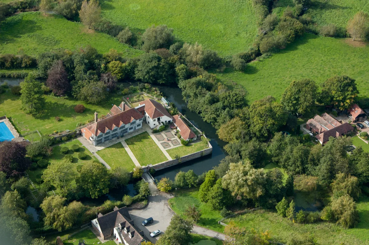
Horselunges Manor
Stately homes · 1.7 km

Horselunges
Manor houses · 1.7 km

Knockhatch Adventure Park
Theme parks · 1.8 km
Knock Hatch Dry Ski Slope
Natural landmarks · 2.0 km

Michelham Priory
Abbeys & priories · 2.0 km

Barbican Tower And Bridge Over The Moat At Michelham Priory
Memorials & monuments · 2.1 km

Bede's Zoo
Zoos & aquariums · 2.1 km

Watermill
Watermills · 2.1 km

Bede's Prep School
Natural landmarks · 2.1 km

Priory Mill
Mills · 2.2 km
Nearby
📷 5📷 5Watermills · South East England
Horsebridge Mill
Horsebridge Mill is a watermill in the United Kingdom.
📷 5Stately homes · South East England
Horselunges Manor
Horselunges Manor — Grade I listed manor house in Wealden, United Kingdom.
📷 5Manor houses · South East England
Horselunges
Horselunges — a manor in england-south-east, United Kingdom.
📷 5Theme parks · South East England
Knockhatch Adventure Park
Knockhatch Adventure Park — a theme park in england-south-east, United Kingdom.
📷 5Natural landmarks · South East England
Knock Hatch Dry Ski Slope
Knock Hatch Dry Ski Slope — a other in england-south-east, United Kingdom.
Where to eat & stay near Zoar Strict Baptist Chapel
Places to stay
 📷 5
📷 5Campsites · South East England
Bushy Wood Activity Centre
Bushy Wood Activity Centre — a campsite in england south east.
 📷 5
📷 5Campsites · South East England
Merrylands @ Chiddingly
Merrylands @ Chiddingly — a campsite in england south east.
 📷 5
📷 5Campsites · South East England
Merrylands Eco Campsite
Merrylands Eco Campsite — a campsite in england south east.
 📷 5
📷 5Caravan parks · South East England
Deanland Wood Park
Deanland Wood Park — a caravan park in england south east.
 📷 5
📷 5Caravan parks · South East England
The Homestead
The Homestead — a caravan park in england south east.
 📷 5
📷 5Places to eat & drink
 📷 5
📷 5Historic pubs · South East England
The George Hotel
The George Hotel in England South East, United Kingdom.
 📷 7
📷 7Historic pubs · South East England
The Golden Cross Inn
The Golden Cross Inn in England South East, United Kingdom.
 📷 7
📷 7Historic pubs · South East England
The Six Bells Public House
The Six Bells Public House in England South East, United Kingdom.
 📷 7
📷 7Historic pubs · South East England
The Brewers' Arms Inn
The Brewers' Arms Inn in England South East, United Kingdom.
 📷 7
📷 7Restaurants · South East England
The Sundial Restaurant
The Sundial Restaurant — a restaurant in england south east.
 📷 5
📷 5Historic pubs · South East England
Rose Cottage Inn
Rose Cottage Inn in England South East, United Kingdom.
Other places from this era
 📷 5
📷 5Historic churches · London
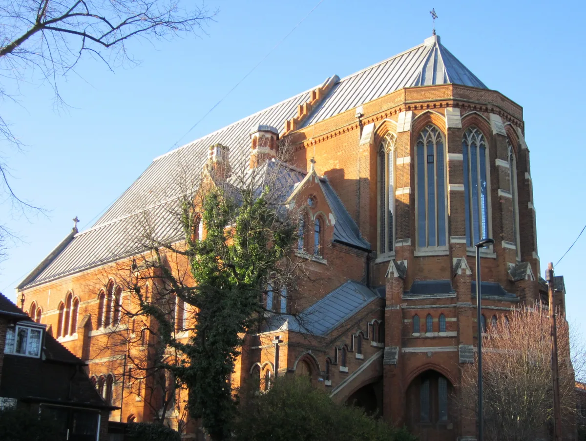
All Saints Church, West Dulwich
All Saints Church, West Dulwich — church in West Dulwich, London.
 📷 5
📷 5Historic churches · London
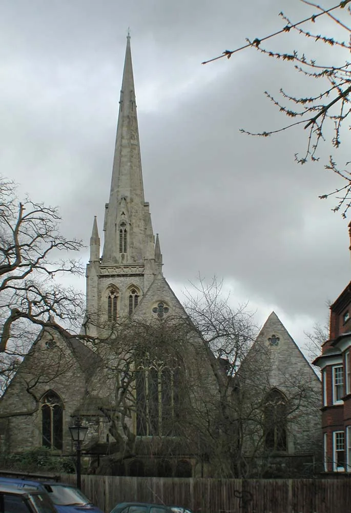
Christ Church
Christ Church — church in Hampstead, London.
 📷 5
📷 5Historic churches · London
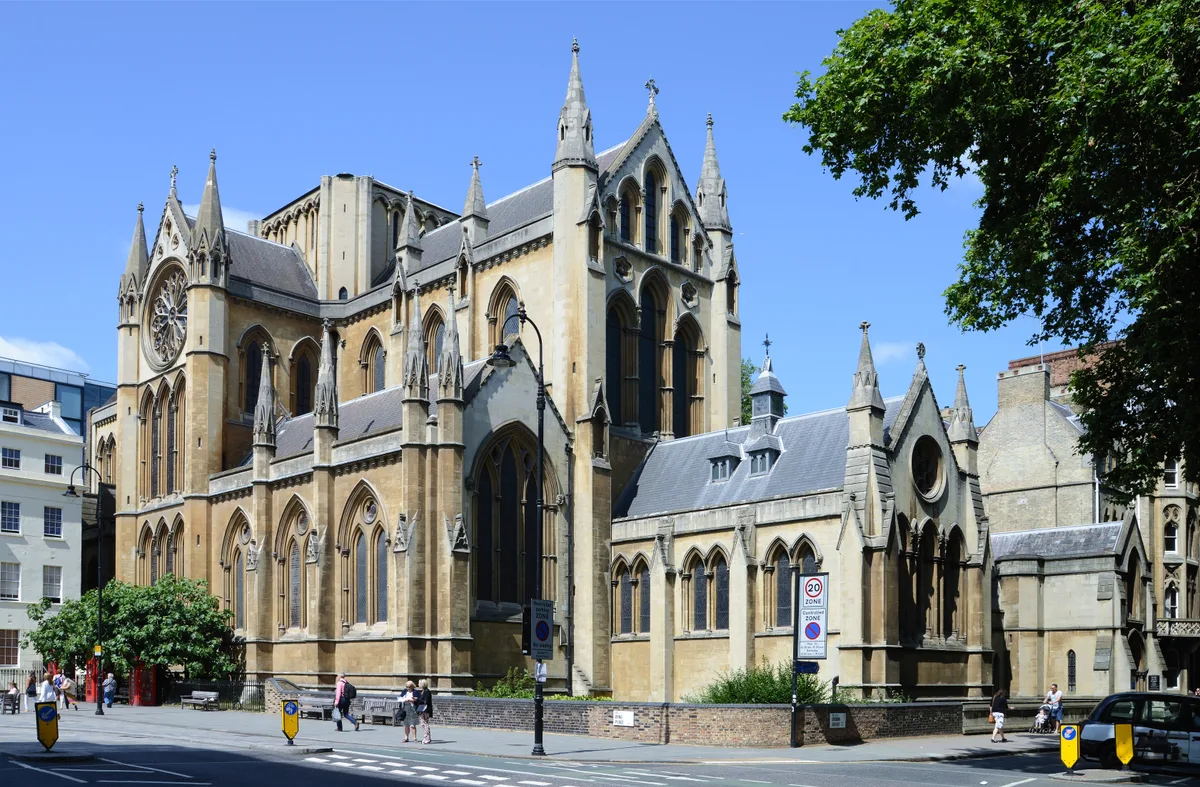
Church of Christ the King, Bloomsbury
Church of Christ the King, Bloomsbury — church in Gordon Square, Bloomsbury, London.
 📷 5
📷 5Historic churches · London
Church of St Barnabas
Church of St Barnabas — church in Pimlico, London.
More places in this region
 📷 5
📷 5Historic churches · South East England
All Saints Church, Frindsbury
All Saints Church, Frindsbury — church in Medway, UK.
 📷 5
📷 5Historic churches · South East England
All Saints Church, Maidstone
All Saints Church, Maidstone — parish church associated with the Archbishop's Palace, Maidstone, Kent, England, UK.
 📷 5
📷 5Historic churches · South East England
All Saints Church, West Farleigh
All Saints Church, West Farleigh — Grade I listed church in West Farleigh, Maidstone, Kent, England, UK.
 📷 5
📷 5Historic churches · South East England
All Souls' Church, Sutton Green
All Souls' Church, Sutton Green — church in Guildford, England.
Frequently asked questions
- Where is Zoar Strict Baptist Chapel?
- Zoar Strict Baptist Chapel is in East Sussex, South-East England, United Kingdom (postcode BN27 4GA), in the parish of Hellingly.
- What is Zoar Strict Baptist Chapel?
- Zoar Strict Baptist Chapel — church in United Kingdom.
- How do I get to Zoar Strict Baptist Chapel?
- The nearest railway station is Berwick, about 6.1 km away. The nearest town is Chiddingly. Drivers can use postcode BN27 4GA.
- When was Zoar Strict Baptist Chapel built?
- Built or established in 1838.
- Is Zoar Strict Baptist Chapel a protected site?
- Yes — Zoar Strict Baptist Chapel is part of the High Weald National Landscape (AONB).
- Is Zoar Strict Baptist Chapel free to visit?
- Yes, Zoar Strict Baptist Chapel is free to enter.
- How do I get to Zoar Strict Baptist Chapel?
- The nearest railway station is Berwick, about 6.1 km away. Drivers can navigate to postcode BN27 4GA.