
Mountains & hills · North Wales
Ystumllyn
In or near Llanystumdwy.
Ystumllyn — mountain in wales north. Elevation: 30 m.

Alan Fryer — CC BY-SA 2.0 via Wikimedia Commons licence

Plan your visit
- Typical visit
- 3 h–8 h
- Best time of year
- Late spring – early autumn (May–Oct)
- Nearest railway station
- Criccieth · 2.0 km
- Dog-friendly
About
Ystumllyn is a mountain located in wales north. Elevation: 30 m. A named British peak recorded in OpenStreetMap. Peaks are typically named on Ordnance Survey 1:50k mapping.
Photo gallery
Place summary
Ystumllyn is a mountain located in North Wales, within the parish of Criccieth. This prominent geographical feature offers views of the surrounding landscape, typical of the region's natural beauty. Visitors can expect a rugged terrain, suitable for hiking and outdoor activities, reflective of the area's mountainous character. The postcode for Ystumllyn is LL52.
AI-generated from the structured facts on this page (operator, designation, listing, era). Not a substitute for visiting.
- Coordinates
- 52.9222, -4.2076
- District
- Gwynedd
- Parish
- Criccieth
- Postcode
- LL52 0LA
- Parliamentary constituency
- Dwyfor Meirionnydd
- Nearest railway station
- Criccieth — 2 km
Sources
- osm: n3573387893 (ODbL)
Other places nearby

Rhiw-for-fawr
Mountains & hills · 0.4 km
Meldrum Leisure Holiday Homes
Caravan parks · 0.5 km

The Rees Jeffreys Road Fund
Memorials & monuments · 0.5 km

Caer-Dyni Burial Chamber
Follies · 0.6 km

Penllyn, Gwynedd
Historic churches · 0.7 km
Moel Bach
Mountains & hills · 0.9 km

Moel y Gadair
Mountains & hills · 0.9 km

Moel y Gadair
Mountains & hills · 0.9 km

Teulu Alltud Eifion
Follies · 0.9 km

Graig Ddu
Mountains & hills · 1.0 km
Capt. Thomas Jones
Follies · 1.0 km

Teulu Tyhwynt-i'r-bwlch
Follies · 1.0 km
Nearby
📷 5Mountains & hills · North Wales
Rhiw-for-fawr
Rhiw-for-fawr — mountain in wales north. Elevation: 40 m.
📷 5Caravan parks · North Wales
Meldrum Leisure Holiday Homes
Meldrum Leisure Holiday Homes — a caravan park in wales north.
📷 3Memorials & monuments · North Wales
The Rees Jeffreys Road Fund
The Rees Jeffreys Road Fund — a memorial in North Wales, United Kingdom.
📷 3Follies · North Wales
Caer-Dyni Burial Chamber
Caer-Dyni Burial Chamber is a folly in the United Kingdom.
📷 5Historic churches · North Wales
Penllyn, Gwynedd
Penllyn, Gwynedd — a church in wales-north, United Kingdom.
📷 5Where to eat & stay near Ystumllyn
Places to stay
📷 5Caravan parks · North Wales
Meldrum Leisure Holiday Homes
Meldrum Leisure Holiday Homes — a caravan park in wales north.
 📷 5
Caravan parks · North Wales
Eisteddfa Caravan and Camping Site
Eisteddfa Caravan and Camping Site — a caravan park in wales north.
 📷 5
Caravan parks · North Wales
Mynydd Du Caravan Site
Mynydd Du Caravan Site — a caravan park in wales north.
 📷 5
Campsites · North Wales
Black Rock Sands Camping & Touring
Black Rock Sands Camping & Touring — a campsite in wales north.
 📷 5
 📷 5
Campsites · North Wales
Glan y Mor Camping Park
Glan y Mor Camping Park — a campsite in wales north.
Places to eat & drink
 📷 5
Restaurants · North Wales
Dylan's Restaurant
Dylan's Restaurant — a restaurant in wales north. Cuisine: burger;cake;coffee shop;fish;italian;italian pizza;pasta;pizza;seafood.
 📷 5
 📷 7
 📷 5
 📷 5
 📷 5
More mountains in this region
 📷 5
Mountains & hills · North Wales
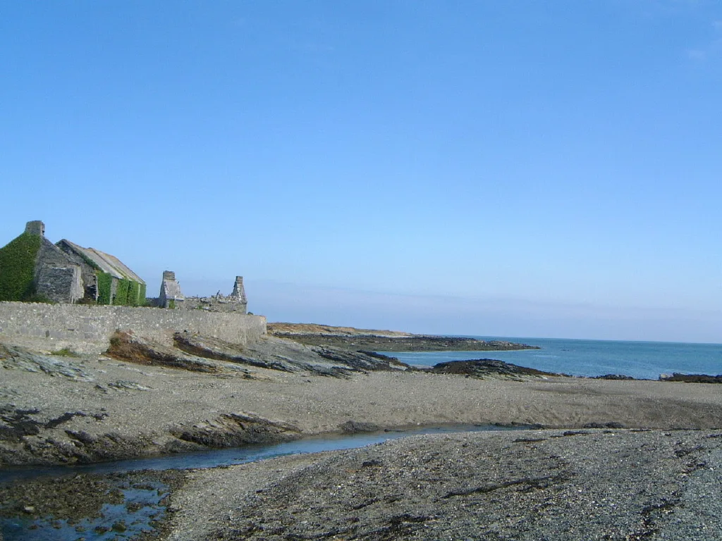
Cemlyn Bay and lagoon
Cemlyn Bay and lagoon — Site of Special Scientific Interest in Wales.
 📷 3
Mountains & hills · North Wales
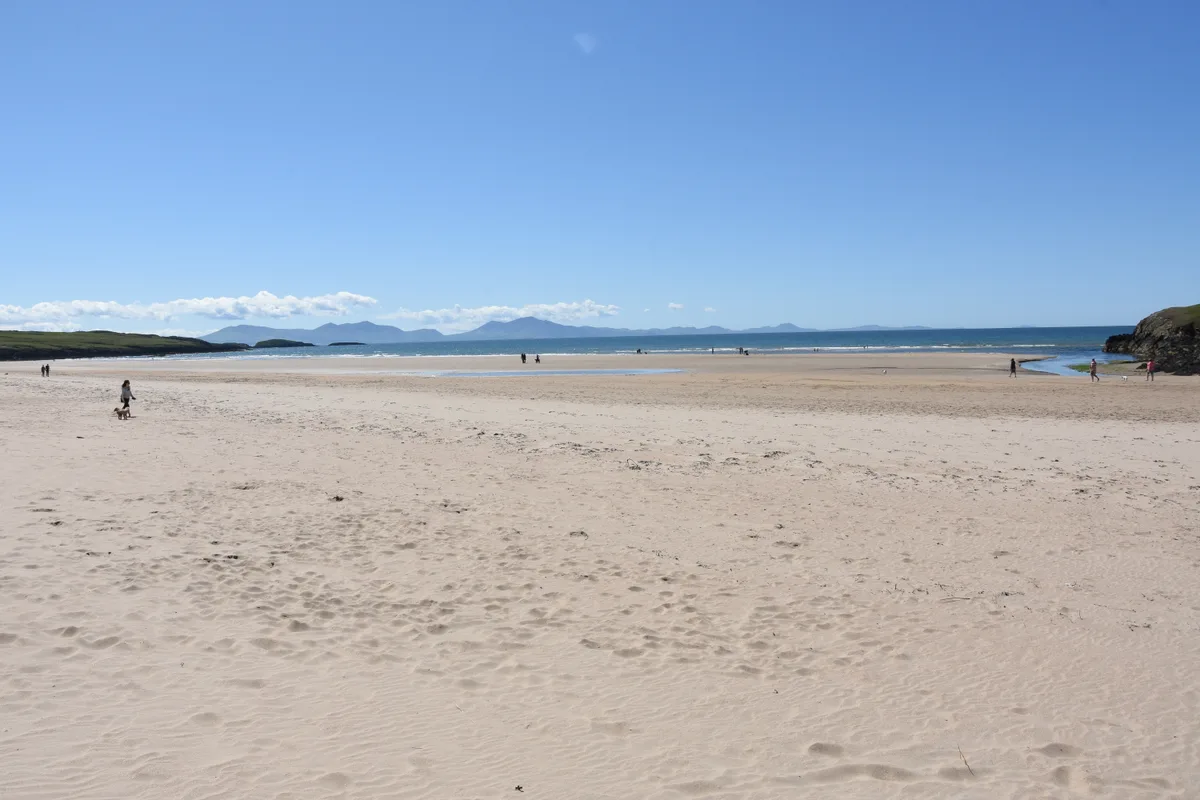
Aberffraw Bay
Aberffraw Bay — bay on the west coast of Anglesey, in Wales, UK.
 📷 3
 📷 3
Mountains & hills · North Wales
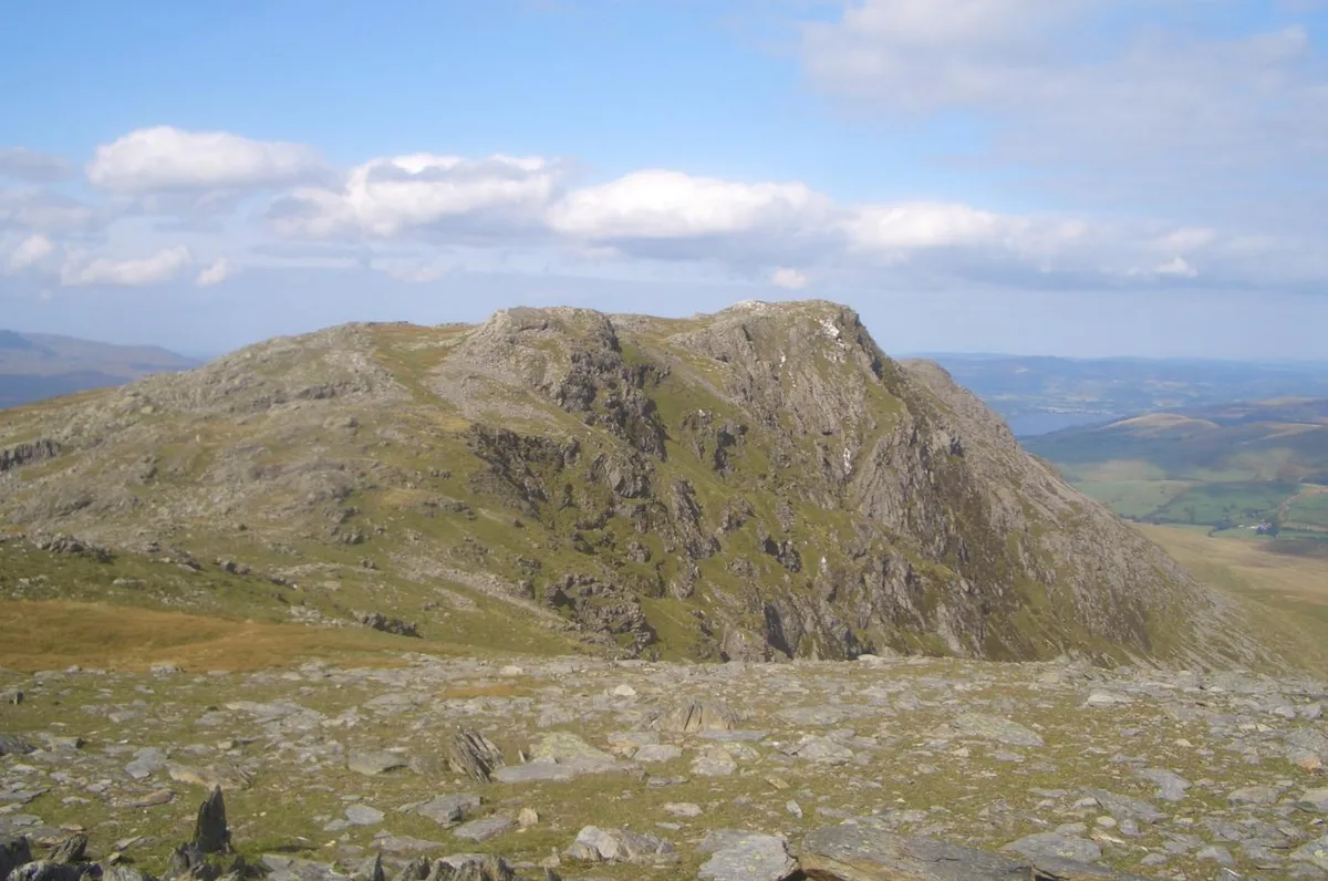
Aran Benllyn
Aran Benllyn — Named summit at 884 m.
Frequently asked questions
- Where is Ystumllyn?
- Ystumllyn is in North Wales, United Kingdom (postcode LL52 0LA), in the parish of Criccieth.
- What is Ystumllyn?
- Ystumllyn — mountain in wales north. Elevation: 30 m.
- How do I get to Ystumllyn?
- The nearest railway station is Criccieth, about 2.0 km away. The nearest town is Llanystumdwy. Drivers can use postcode LL52 0LA.
- How do I get to Ystumllyn?
- The nearest railway station is Criccieth, about 2.0 km away. Drivers can navigate to postcode LL52 0LA.