Museums · Mid Wales
Wormbridge
In or near Thruxton.
Wormbridge in Wales Mid, United Kingdom.

Philip Halling — CC BY-SA 2.0 via Wikimedia Commons licence
Plan your visit
- Typical visit
- 1.5 h–3 h
- Best time of year
- Year-round
- Family-friendly
- Limited wheelchair access
About
Wormbridge is a place of interest in Wales Mid, United Kingdom — drawn from open-data sources for visitor reference. See the linked Wikipedia article for the full description.
Photo gallery
360° viewimagery from 2025
Imagery © Mapillary contributors, CC BY-SA 4.0
Protected designations
- Site of Special Scientific Interest: River Wye SSSI
Designations sourced from Natural England open data under OGL v3.
From the Wikipedia article
Wormbridge is a village in the civil parish of Kilpeck, in Herefordshire, England, about eight miles (thirteen kilometres) southwest of Hereford, on the A465 road at (SO423316). The neighbouring villages are Kilpeck, Didley, Howton, Treville, Ewyas Harold, Pontrilas and Crizeley. In 2001 the parish had a population of 59. Until 1 April 2019 the civil parish was part of The Kilpeck Group Parish Council, the civil parish was then merged with Kilpeck. It is home to several local and larger businesses: Theale Fireplaces, Galanthus Gallery and Cafe, Bridges Childcare, Forge Garage and Tack Shop and NFU Mutual. The village previously had a small school, the building being rented from the Whitfield Estate (see below), until closed by Herefordshire Council due to decreasing numbers. The school building is now used by Bridges Childcare, which has been run successfully since 2003. Historic houses in the village include: Wormbridge Court, Wormbridge House, Fairacre (formerly Lyon Villa) and Trelough House. Wormbridge and its church were once owned by the Knights Hospitallers of St John of Jerusalem. Some of the church architecture, including the entrance door, is Norman, dating from about 1200. The unbuttressed west tower dates from the 13th century, but the top stage and broach spire were added in 1851–59. The church also holds several memorial plaques belonging to local landowners and a private crypt. Wormbridge Court Farm and the majority of the surrounding land and houses are now owned by Edward George Clive (formally Lennox-Boyd) of Whitfield, grandchild to Lady Mary Katherine Pakenham, sister to Francis Aungier Pakenham, 7th Earl of Longford, Lord Longford. Wormbridge Court itself was a 17th-century house facing south on the site of the school playground. The basement window openings of that house are still visible in the retaining wall of the playground. The house was demolished circa 1800 when the Clive family moved to Whitfield, two miles (three kilometres) away. The…
Excerpt from Wikipedia under CC BY-SA 4.0. See the source article linked in Sources below.
- Coordinates
- 51.9752, -2.8312
- District
- Herefordshire, County of
- Parish
- Kilpeck
- Postcode
- HR2 9DH
- Parliamentary constituency
- Hereford and South Herefordshire
Sources
- wikidata: Q3784273 (CC0)
- wikipedia: Wormbridge (CC BY-SA 4.0)
Other places nearby

Trelough House
B&Bs · 0.2 km

St Devereux railway station
Historic churches · 1.1 km

Saint Devereux
Villages · 1.4 km
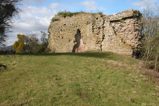
Kilpeck Castle
Castles · 1.5 km

Kilpeck
Castles · 1.6 km

Treville
Forests & woodlands · 1.6 km
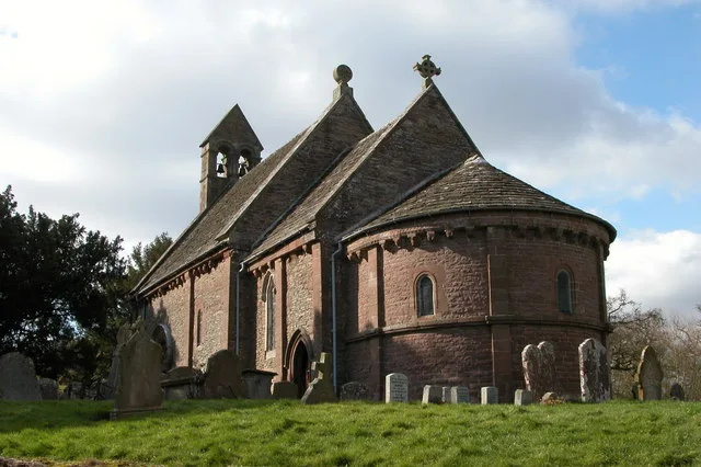
Church of St Mary and St David, Kilpeck
Historic churches · 1.6 km

Kilpeck Priory
Abbeys & priories · 2.1 km
Dippermoor Manor
Manor houses · 2.1 km

Howton Farm Mound
Castles · 2.3 km

Motte castle 100m north east of Howton Farm
Literary houses · 2.3 km

Didley Court Farm Motte
Literary houses · 2.3 km
Nearby
📷 5📷 4Historic churches · Mid Wales
St Devereux railway station
St Devereux railway station in Wales Mid, United Kingdom.
📷 5📷 3📷 5📷 3Where to eat & stay near Wormbridge
Places to stay
📷 5 📷 5
📷 5 📷 5
📷 5Caravan parks · South Wales
Burhope Farm Camping & Caravan Site
Burhope Farm Camping & Caravan Site — a caravan park in wales south.
 📷 5
📷 5 📷 5
📷 5 📷 5
📷 5Caravan parks · South Wales
Three Castles Country Caravan Park
Three Castles Country Caravan Park — a caravan park in wales south.
Places to eat & drink
 📷 7
📷 7Historic pubs · Mid Wales
Black Swan
Black Swan — Historic pub — listed building or notable heritage status.
 📷 5
📷 5Historic pubs · South Wales
Cornewall Arms
Cornewall Arms in Wales South, United Kingdom.
 📷 5
📷 5Historic pubs · West Midlands
Black Lion Inn
Black Lion Inn in England West Midlands, United Kingdom.
 📷 5
📷 5Historic pubs · West Midlands
Spread Eagle Inn
Spread Eagle Inn in England West Midlands, United Kingdom.
 📷 5
📷 5Historic pubs · West Midlands
The Grapes Tavern
The Grapes Tavern in England West Midlands, United Kingdom.
 📷 5
📷 5Historic pubs · West Midlands
Oxford Arms Inn
Oxford Arms Inn in England West Midlands, United Kingdom.
More museums in this region
 📷 3
📷 3Museums · Mid Wales
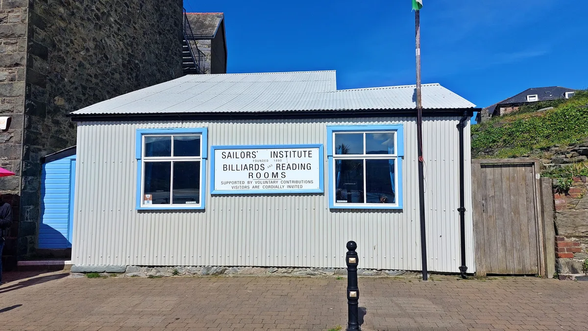
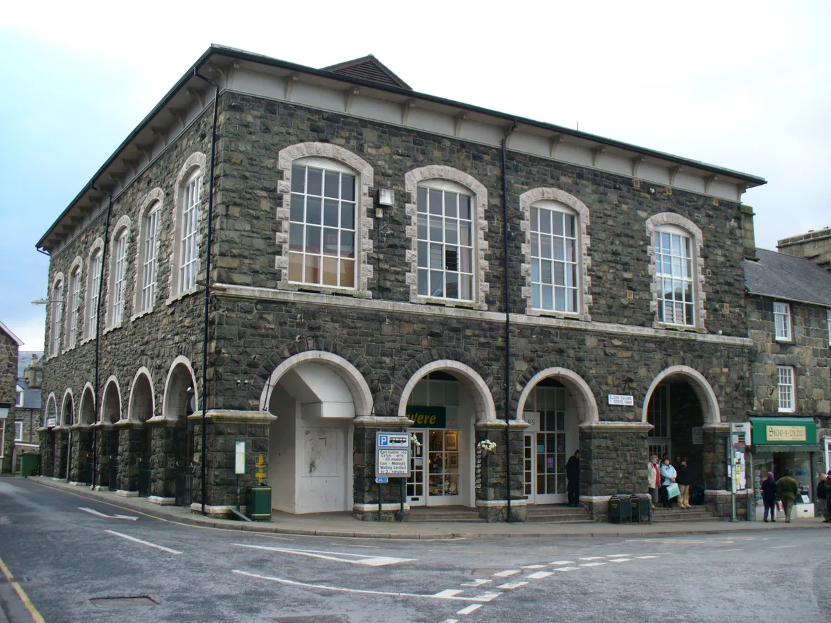
Barmouth Sailors' Institute
Barmouth Sailors' Institute — Community centre, heritage organisation and museum in the Barmouth, Wales, UK.
 📷 3
📷 3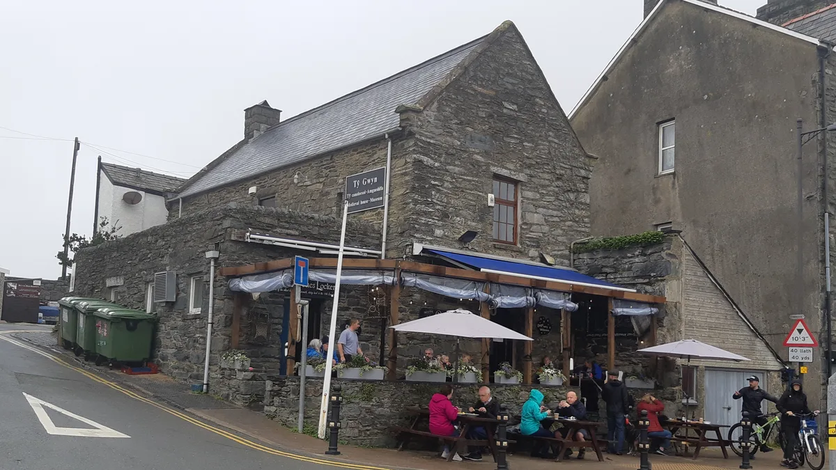 📷 3
📷 3Museums · Mid Wales
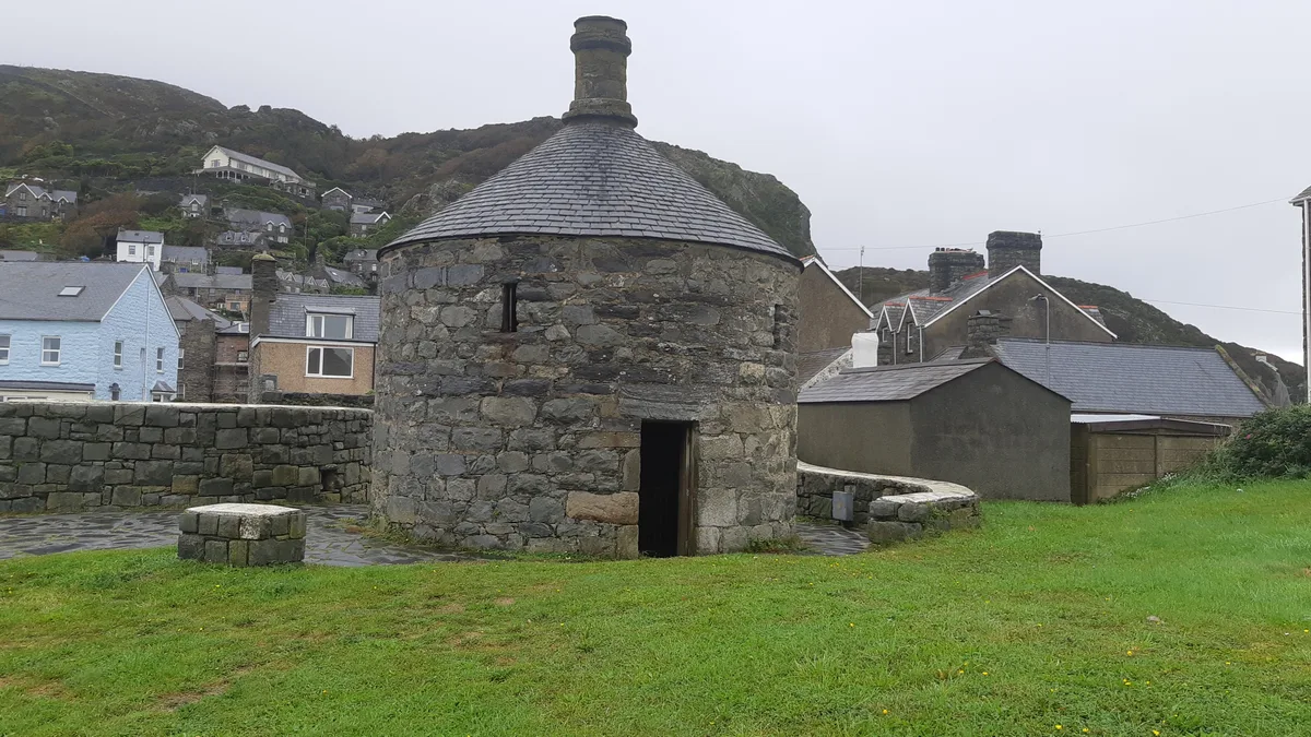
Tŷ Gwyn Bronze Bell Museum
Tŷ Gwyn Bronze Bell Museum is a museum in the United Kingdom.
 📷 3
📷 3Frequently asked questions
- Where is Wormbridge?
- Wormbridge is in Mid Wales, United Kingdom (postcode HR2 9DH), in the parish of Kilpeck.
- What is Wormbridge?
- Wormbridge in Wales Mid, United Kingdom.
- How do I get to Wormbridge?
- Drivers can use postcode HR2 9DH.
- Is Wormbridge a protected site?
- Yes — Wormbridge is part of the River Wye SSSI Site of Special Scientific Interest.
- How do I get to Wormbridge?
- Drivers can navigate to postcode HR2 9DH. It sits within the Hereford and South Herefordshire parliamentary constituency.