
Hill forts · South Wales
Woodspring Priory
In or near Kewstoke.
Woodspring Priory — Grade I listed priory in North Somerset, England, UK.

Wikimedia Commons contributors — see linked file page for photographer and licence licence

Plan your visit
- Typical visit
- 1 h–2 h
- Nearest railway station
- Worle · 4.4 km
- Free entry
- Dog-friendly
Getting there & planning your visit
Woodspring Priory is located in North Somerset, postcode BS22 9YU. The nearest railway station is Worle, which is 4.4 km away. Entry to the site is free.
About
Woodspring Priory is a hill fort in the United Kingdom. Records date its origin to 1201. Heritage designation: scheduled monument. Wikidata describes it as: "Grade I listed priory in North Somerset, England, UK". Coordinates: 51.3902°, -2.9454°.
Photo gallery
Protected designations
- Site of Special Scientific Interest: Middle Hope SSSI
- Site of Special Scientific Interest: Severn Estuary SSSI
- Ramsar wetland: Severn Estuary
Designations sourced from Natural England open data under OGL v3.
From the Wikipedia article
Woodspring Priory (originally Worsprynge or Worspring) is a former Augustinian priory. It is near the scenic limestone promontory of Sand Point and Middle Hope, owned by the National Trust, beside the Severn Estuary about 3 miles (5 km) north-east of Weston-super-Mare, within the English unitary authority of North Somerset. Many of the buildings are Grade I listed, and the whole site is scheduled as an ancient monument. The priory was founded, by William de Courtney, in the early 13th century, and dedicated to Thomas Becket. The small community built a church and monastic lodgings during the next hundred years. They were Victorine Canons who were influenced by the Cistercians who emphasised manual labour and self-sufficiency so that the clerks who had taken holy orders worked on the farm, as well as providing clergy for surrounding churches. Despite endowments of land the priory was not wealthy until the 15th century when further building work, including the current priory church, infirmary and barn was undertaken. It was dissolved in 1536 and then owned by local noblemen and leased to local farmers. In 1968 the priory and adjoining land of Middle Hope was purchased by the National Trust as part of Project Neptune. The following year the priory was taken over by the Landmark Trust who spent 20 years on restoration work, and now rent out the farmhouse as holiday accommodation. The surviving buildings include the priory church, which was a 15th-century replacement for the earlier 13th-century structure, an infirmary, a barn and a 16th-century prior's lodging, which was converted into a farmhouse. The whole site was arranged around a central cloister from which only the east wall and west wall of the chapter house remain, the sacristy, refectory, chapter house, lady chapel and parlour having been demolished. The former district council and parliamentary constituency both took their name from the priory.
Excerpt from Wikipedia under CC BY-SA 4.0. See the source article linked in Sources below.
Background
History
The priory was founded in the early 13th century, and dedicated to Thomas Becket. The founder, William de Courtney, was a grandson of Reginald Fitzurse, one of Becket's murderers. In 1849 a reliquary was found in St Paul's Church, Kewstoke that was believed to have come originally from the priory and to contain the blood of Thomas Becket. It is believed that it was moved to St Paul's for safe keeping at the time of the Dissolution of the Monasteries and is now in the Museum of Somerset in Taunton. The first building had been completed by 1242 as it is described in a letter to Jocelin of Wells. The foundation was confirmed by Edward II in 1325. It was home to a small community of Victorine…
Architecture
The 15th-century barn, east cloister wall, farmhouse range, gatehouse, gates and mounting block, infirmary, and west wall are all listed buildings. The whole site was arranged around a central cloister from which only the east wall and west wall of the chapter house remain. The sacristy, refectory, chapter house, lady chapel and parlour having been demolished. The gatehouse, gates, mounting block with six steps and west wall can also be seen attached to the farmhouse. The original 13th-century church no longer stands, however the current church which is in perpendicular style has a two bay nave, north aisle and two stage crossing tower, which is 65 ft high. The tower stands on the…
Sourced from Wikipedia under CC BY-SA 4.0.
- Coordinates
- 51.3902, -2.9454
- District
- North Somerset
- Parish
- Kewstoke
- Postcode
- BS22 9YU
- Parliamentary constituency
- Weston-super-Mare
- Established
- 1201
- Nearest railway station
- Worle — 4.4 km
Sources
- wikidata: Q8033383 (CC0)
- wikipedia: Woodspring Priory (CC BY-SA 4.0)
- commons: Woodspring Priory barn.JPG (CC BY-SA 4.0)
Other places nearby

Saxon Field System
Archaeological sites · 0.5 km

River Banwell
Museums · 0.9 km

Woodspring Bay
Natural landmarks · 1.5 km

Country View Holiday Park
Caravan parks · 1.6 km
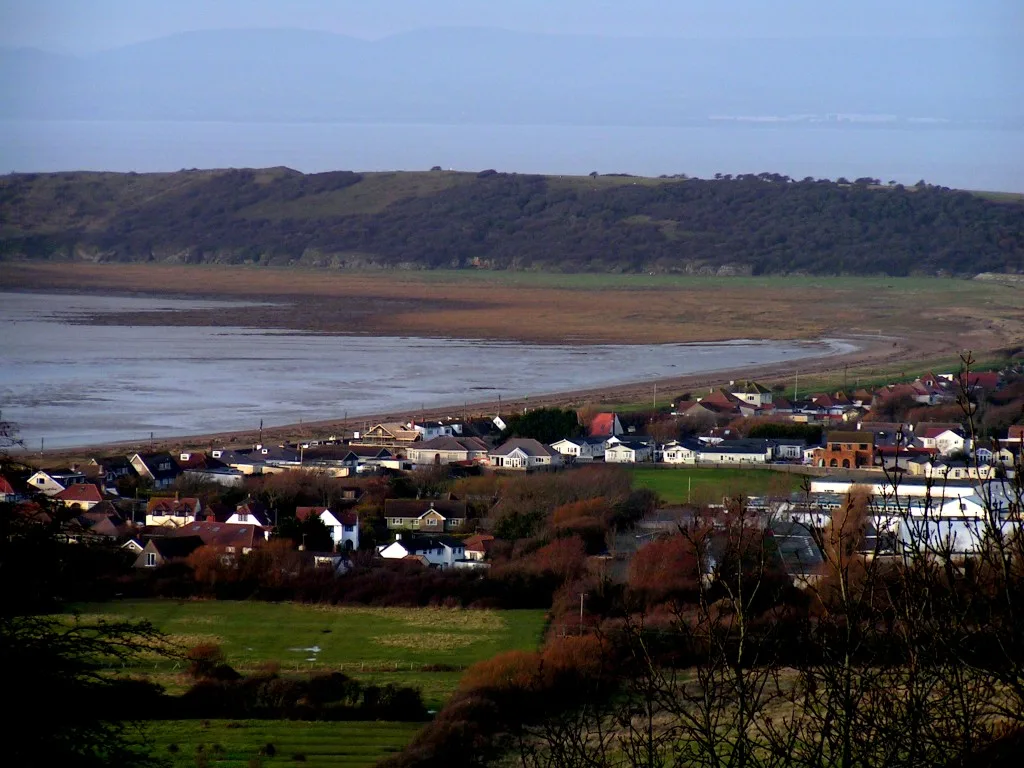
Sand Bay
Mountains & hills · 1.7 km

Motte and bailey castle 650m NNW of Sandpoint Farm
Literary houses · 1.7 km

Sand Point
Vineyards · 1.7 km

Cyprus Farm
Campsites · 2.2 km

Sand Bay Caravan Park
Caravan parks · 2.3 km

Ebdon Bow Bridge
Historic bridges · 2.4 km

Sand Point
Viewpoints · 2.4 km

Congresbury Yeo
Museums · 2.5 km
Nearby
📷 3Archaeological sites · South Wales
Saxon Field System
Saxon Field System — an archaeological site in South Wales, United Kingdom.
📷 5📷 5📷 5Caravan parks · South Wales
Country View Holiday Park
Country View Holiday Park — a caravan park in wales south.
📷 3📷 5Literary houses · South Wales
Motte and bailey castle 650m NNW of Sandpoint Farm
Motte and bailey castle 650m NNW of Sandpoint Farm — a literary house museum in wales south.
Where to eat & stay near Woodspring Priory
Places to stay
📷 5Caravan parks · South Wales
Country View Holiday Park
Country View Holiday Park — a caravan park in wales south.
📷 5📷 5Caravan parks · South Wales
Sand Bay Caravan Park
Sand Bay Caravan Park — a caravan park in wales south.
 📷 5
📷 5Caravan parks · South Wales
Hazelwood Caravan Park
Hazelwood Caravan Park — a caravan park in wales south.
📷 5Caravan parks · South Wales
Sun Valley Caravan Park
Sun Valley Caravan Park — a caravan park in wales south.
📷 5Caravan parks · South Wales
Meadow Lee Caravan Park
Meadow Lee Caravan Park — a caravan park in wales south.
Places to eat & drink
 📷 5
📷 5Restaurants · South Wales
Muffins Tea Room & Brasserie
Muffins Tea Room & Brasserie — a restaurant in wales south.
 📷 5
📷 5Restaurants · South Wales
The Pavilion
The Pavilion — a restaurant in wales south.
 📷 5
📷 5 📷 5
📷 5 📷 5
📷 5 📷 5
📷 5Restaurants · South Wales
Bistro Pierre
Bistro Pierre — a restaurant in wales south.
Other places from this era
 📷 5
📷 5Hill forts · South East England
Ankerwycke Priory
Ankerwycke Priory — Benedictine nunnery with associated moat and fishponds.
 📷 5
📷 5Hill forts · South East England
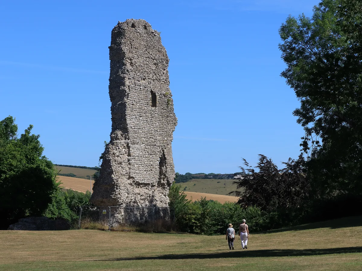
Bramber Castle
Bramber Castle — Norman castle in Bamber, West Sussex, England, UK.
 📷 3
📷 3Hill forts · South East England
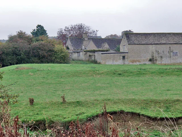
Ascot d'Oilly Castle
Ascot d'Oilly Castle — castle in Oxfordshire, England, UK.
 📷 5
📷 5Hill forts · South West England
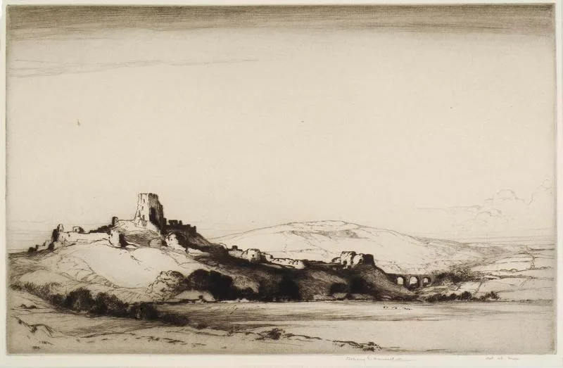
Corfe Castle
Corfe Castle — fortification in Dorset, England, UK.
More places in this region
 📷 3
📷 3 📷 3
📷 3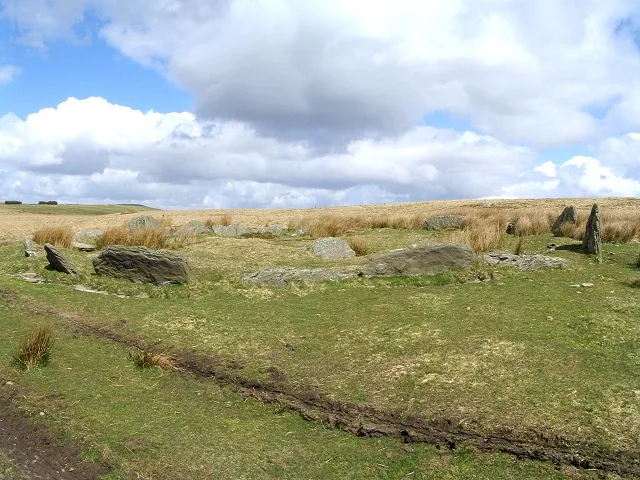 📷 3
📷 3Hill forts · South Wales
Carn Llechart
Carn Llechart — archaeological site in Neath Port Talbot County Borough, Wales, UK.
 📷 3
📷 3Hill forts · South Wales
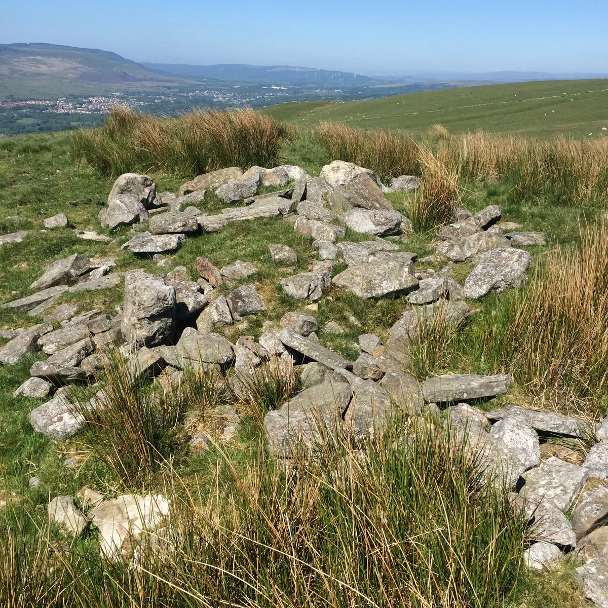
Carn Pentyle-Hir & Adjacent Round Cairn
Carn Pentyle-Hir & Adjacent Round Cairn — archaeological site in Rhondda Cynon Taf, Wales, UK.
Frequently asked questions
- Where is Woodspring Priory?
- Woodspring Priory is in South Wales, United Kingdom (postcode BS22 9YU), in the parish of Kewstoke.
- What is Woodspring Priory?
- Woodspring Priory — Grade I listed priory in North Somerset, England, UK.
- How do I get to Woodspring Priory?
- The nearest railway station is Worle, about 4.4 km away. The nearest town is Kewstoke. Drivers can use postcode BS22 9YU.
- When was Woodspring Priory built?
- Built or established in 1201.
- Is Woodspring Priory a listed building?
- Woodspring Priory is officially recognised as scheduled monument listed.
- Is Woodspring Priory a protected site?
- Yes — Woodspring Priory is part of the Middle Hope SSSI Site of Special Scientific Interest and the Severn Estuary SSSI Site of Special Scientific Interest.
- Is Woodspring Priory free to visit?
- Yes, Woodspring Priory is free to enter.
- How do I get to Woodspring Priory?
- The nearest railway station is Worle, about 4.4 km away. Drivers can navigate to postcode BS22 9YU.