Quarries · West Midlands
Woodeaton Quarry
Woodeaton Quarry is a quarry in the United Kingdom.

Wikimedia Commons licence
Plan your visit
- Typical visit
- 45 min–1.5 h
- Nearest railway station
- Islip · 2.3 km
About
Woodeaton Quarry is a quarry in the United Kingdom. Coordinates: 51.8060°, -1.2280°. This entry is part of The Great Britain Guide, a free, ad-free, open-data tourist directory.
Photo gallery
Protected designations
- Site of Special Scientific Interest: Woodeaton Quarry SSSI
Designations sourced from Natural England open data under OGL v3.
From the Wikipedia article
Woodeaton Quarry is a 7.3-hectare (18-acre) geological Site of Special Scientific Interest north of Oxford in Oxfordshire. It is a Geological Conservation Review site. This site exposes a sequence of rocks dating to the Middle Jurassic around 167 million years ago belonging to the Great Oolite Group, spanning the Chipping Norton Limestone, Sharp's Hill, Taynton Limestone, Rutland, White Limestone, and Forest Marble formations. It exhibits one of the most complete Bathonian sections in the county, and is described by Natural England as "of great palaeontological and sedimentological interest".
Excerpt from Wikipedia under CC BY-SA 4.0. See the source article linked in Sources below.
- Coordinates
- 51.8060, -1.2280
- County
- Oxfordshire
- District
- South Oxfordshire
- Parish
- Woodeaton
- Postcode
- OX3 9GD
- Parliamentary constituency
- Henley and Thame
- Nearest railway station
- Islip — 2.3 km
Sources
- wikidata: Q89046097 (CC0)
- wikipedia: Woodeaton Quarry (CC BY-SA 4.0)
Other places nearby
Loading nearby places…
Nearby
 📷 3
📷 3Historic houses · West Midlands
Manor House
Manor House — historic building, now school, in Woodeaton, Oxfordshire, England, United Kingdom.
 📷 3
📷 3Historic churches · West Midlands
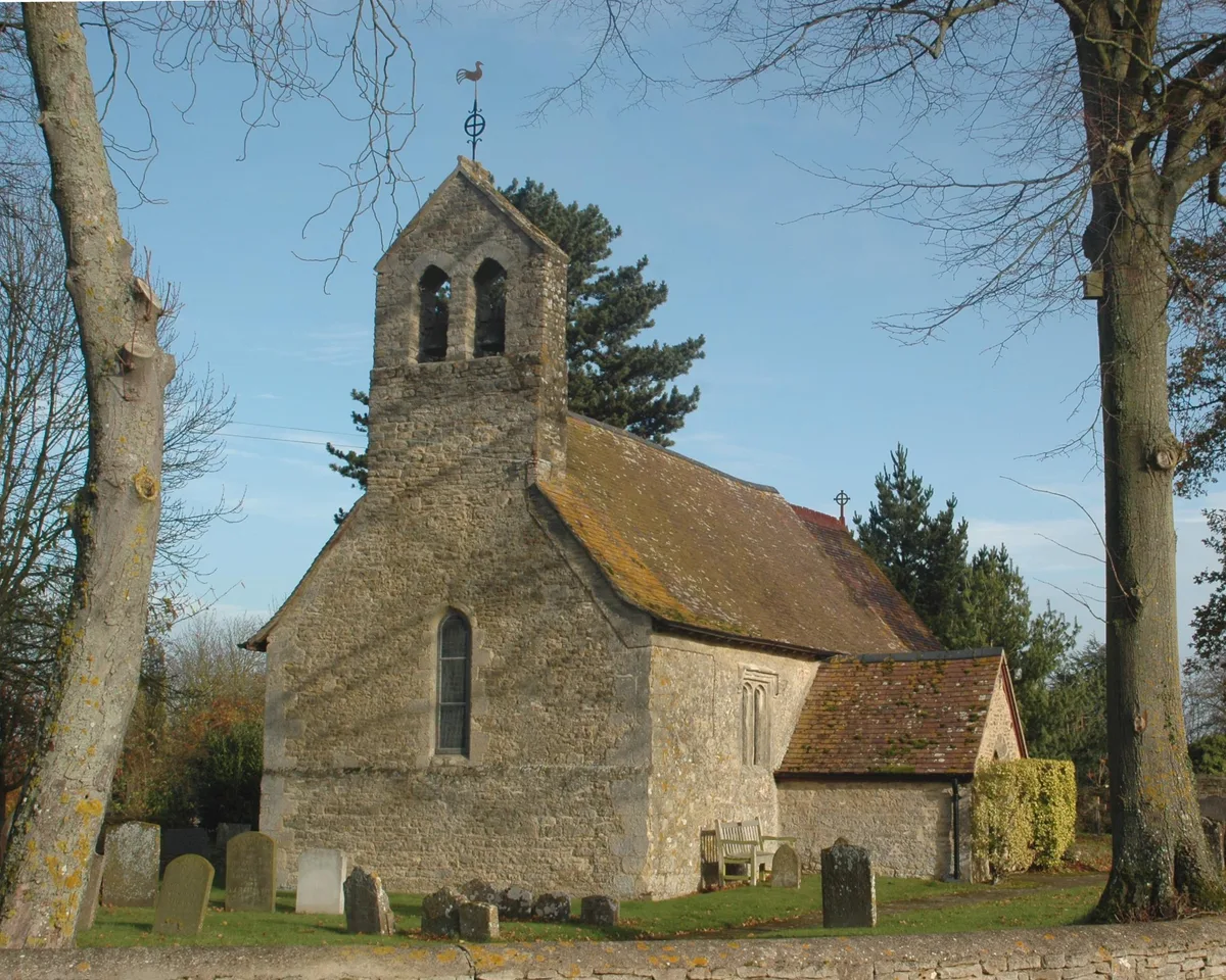
Church of the Holy Rood, Woodeaton
Church of the Holy Rood, Woodeaton — Grade I listed building-listed church in england-west-midlands, United Kingdom.
 📷 3
📷 3Follies · West Midlands
Woodeaton Folly
Woodeaton Folly — a folly in england-west-midlands, United Kingdom.
 📷 5
📷 5Follies · West Midlands
Roman temple at Woodeaton
Roman temple at Woodeaton — a temple folly in england-west-midlands, United Kingdom.
 📷 3
📷 3Historic houses · West Midlands
The Plough Public House
The Plough Public House — former pub in Noke, Cherwell, Oxfordshire, England, UK.
 Flagship📷 3
Towns & cities · West Midlands
Noke
Noke — village and civil parish in Cherwell district, Oxfordshire, England.
More places in this region
 📷 3
📷 3Quarries · West Midlands
Ardley Cutting and Quarry
Ardley Cutting and Quarry is a quarry in the United Kingdom.
 📷 3
📷 3Quarries · West Midlands
Bugle Quarry
Bugle Quarry — geological Site of Special Scientific Interest in Hartwell in Buckinghamshire.
 📷 5
📷 5Quarries · West Midlands
Cliffe Hill Quarry
Cliffe Hill Quarry — geological site in Leicestershire, England.
 📷 3
📷 3Quarries · West Midlands
Cullimore's Quarry
Cullimore's Quarry — Site of Special Scientific Interest in South Gloucestershire.
Frequently asked questions
- Where is Woodeaton Quarry?
- Woodeaton Quarry is in Oxfordshire, the West Midlands, United Kingdom (postcode OX3 9GD), in the parish of Woodeaton.
- Is Woodeaton Quarry a protected site?
- Yes — Woodeaton Quarry is part of the Woodeaton Quarry SSSI Site of Special Scientific Interest.
- How do I get to Woodeaton Quarry?
- The nearest railway station is Islip, about 2.3 km away. Drivers can navigate to postcode OX3 9GD.