
Stately homes · East Midlands
Wingfield Manor
In or near South Wingfield.
Wingfield Manor — ruined manor house in Derbyshire, England, UK.

Wikimedia Commons contributors — see linked file page for photographer and licence licence

Plan your visit
- Typical visit
- 2 h–4 h
- Nearest railway station
- Hammersmith · 3.7 km
- Free entry
- Family-friendly
- Limited wheelchair access
Getting there & planning your visit
To visit Wingfield Manor, the nearest railway station is Hammersmith, located 3.7 km away. Entry is paid, and wheelchair accessibility is limited. The postcode for sat-nav is DE55 7NH.
About
Wingfield Manor is a stately home in the United Kingdom. Heritage designation: scheduled monument. Owned by English Heritage. Managed by English Heritage. Wikidata describes it as: "ruined manor house in Derbyshire, England, UK". Coordinates: 53.0891°, -1.4430°.
Photo gallery
Heritage listing
Wingfield Manor is a Grade I listed ruined manor house left deserted since the 1770s, near the village of South Wingfield and some four miles (6.4 km) west of the town of Alfreton in the English county of Derbyshire. There is a working farm that forms part of the old manor. It is now in the care (but not ownership) of English Heritage, listed on Historic England's Heritage at Risk Register, and is not open currently to the public.
From the Historic England List Entry under OGL v3.
From English Heritage
The vast and immensely impressive ruins of a palatial medieval manor house, with a huge undercrofted Great Hall and a defensible High Tower 22 metres (72 feet) tall.
Read more on the official property page.
From the Wikipedia article
Wingfield Manor is a Grade I listed ruined manor house left deserted since the 1770s, near the village of South Wingfield and some four miles (6.4 km) west of the town of Alfreton in the English county of Derbyshire. There is a working farm that forms part of the old manor. It is now in the care (but not ownership) of English Heritage, listed on Historic England's Heritage at Risk Register, and is not open currently to the public. Derbyshire Historic Buildings Trust has expressed an interest in acquiring the site from its private owner.
Excerpt from Wikipedia under CC BY-SA 4.0. See the source article linked in Sources below.
Background
History
Construction of the manor began in 1439 for Treasurer to Henry VI, Sir Ralph Cromwell, though the building was not completed until after his death when John Talbot, the second Earl of Shrewsbury, bought the property. His family maintained the manor within the property for nearly two hundred years. After which, Parliament decreed that the manor be dismantled and allowed to fall into ruin, and parts were taken for building materials, leaving behind the present ruins.
Description
At the time of the English Civil War (1642–48), the manor was in the hands of Philip Herbert, 4th Earl of Pembroke, a Parliament supporter. The manor was taken by the Royalists in 1643 and then, after a short siege (albeit interrupted by the Battle of Marston Moor), retaken by Parliament in August 1644, after several large siege engines had destroyed part of the western curtain wall. Wingfield Manor located in what was then a strategic position near a main north-south artery of the country and also a key east-west link at the southern end of the Pennines. It was partially demolished at the end of the Civil War on instructions from Parliament in order that it could never be used again for…
Sourced from Wikipedia under CC BY-SA 4.0.
- Coordinates
- 53.0891, -1.4430
- County
- Derbyshire
- District
- Amber Valley
- Parish
- South Wingfield
- Postcode
- DE55 7NH
- Parliamentary constituency
- Amber Valley
- Phone
- 0370 333 1183
- Nearest railway station
- Hammersmith — 3.7 km
- Official site
- www.english-heritage.org.uk
Sources
- wikidata: Q8025200 (CC0)
- wikipedia: Wingfield Manor (CC BY-SA 4.0)
- commons: Wingfield Manor - geograph.org.uk - 6280.jpg (CC BY-SA 4.0)
Other places nearby

South Wingfield
Towns & cities · 0.8 km

Castle Hill, Pentrich
Castles · 1.4 km

Park Head Well
Archaeological sites · 1.4 km

Oakerthorpe
Parks · 1.5 km

Fritchley Windmill
Windmills · 1.8 km
Fritchley Windmill Tower
Windmills · 1.8 km

Dale Bridge
Historic bridges · 2.0 km

Mooredge Farm
Caravan parks · 2.2 km

The Black Swan Public House And Attached L Shaped Range Of Outbuildings To The North-East
Historic pubs · 2.4 km

Anncroft
Caravan parks · 2.5 km

Crich
Museums · 2.5 km

Amber Hill Bridge
Historic bridges · 2.5 km
Nearby
📷 3Towns & cities · East Midlands
South Wingfield
South Wingfield — village and civil parish in Amber Valley district, Derbyshire, England.
📷 3Castles · East Midlands
Castle Hill, Pentrich
Castle Hill, Pentrich — a castle in East Midlands, United Kingdom.
📷 3Archaeological sites · East Midlands
Park Head Well
Park Head Well — an archaeological site in East Midlands, United Kingdom.
📷 5Parks · East Midlands
Oakerthorpe
Oakerthorpe — a park in england-east-midlands, United Kingdom.
📷 3Windmills · East Midlands
Fritchley Windmill
Fritchley Windmill — a windmill in East Midlands, United Kingdom.
📷 3Windmills · East Midlands
Fritchley Windmill Tower
Fritchley Windmill Tower — Grade II listed building-listed windmill in england-east-midlands, United Kingdom.
Where to eat & stay near Wingfield Manor
Places to stay
📷 5📷 5 📷 5
📷 5Caravan parks · East Midlands
Cliff Farm Wakebridge
Cliff Farm Wakebridge — a caravan park in england east midlands. Brand: Caravan Club.
 📷 5
📷 5Caravan parks · East Midlands
Broomhill Farm
Broomhill Farm — a caravan park in england east midlands.
 📷 5
📷 5Caravan parks · East Midlands
Haytop Country Park
Haytop Country Park — a caravan park in england east midlands.
 📷 5
📷 5Hostels · East Midlands
Shining Cliff Hostel
Shining Cliff Hostel — a hostel in england east midlands.
Places to eat & drink
📷 5Historic pubs · East Midlands
The Black Swan Public House And Attached L Shaped Range Of Outbuildings To The North-East
The Black Swan Public House And Attached L Shaped Range Of Outbuildings To The North-East in England East Midlands, United Kingdom.
 📷 5
📷 5 📷 7
📷 7Historic pubs · East Midlands
The Excavator Public House
The Excavator Public House in England East Midlands, United Kingdom.
 📷 5
📷 5Historic pubs · East Midlands
Range Of 3 Cottages Formerly The Wheatsheaf Public House
Range Of 3 Cottages Formerly The Wheatsheaf Public House in England East Midlands, United Kingdom.
 📷 5
📷 5Historic pubs · East Midlands
The Miners Arms Public House
The Miners Arms Public House in England East Midlands, United Kingdom.
 📷 7
📷 7Historic pubs · East Midlands
Greyhound Hotel
Greyhound Hotel in England East Midlands, United Kingdom.
More places run by English Heritage
 Flagship📷 10
Museums · London
Kenwood House
Kenwood House — art museum and historic house in Hampstead, London.
 📷 5
📷 5Galleries · London
Apsley House
Apsley House — London townhouse of the Dukes of Wellington.
 📷 5
📷 5Castles · London
Eynsford Castle
Eynsford Castle — castle, now ruinous, in Eynsford, Kent, England, UK.
 📷 5
📷 5Museums · London
Jewel Tower
Jewel Tower — medieval tower in Westminster, London, England, UK.
More places in this region
 📷 3
📷 3Stately homes · East Midlands
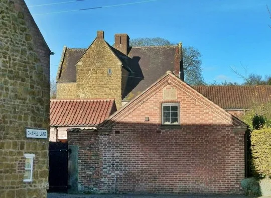
Ab Kettleby Manor
Ab Kettleby Manor — 17th-century manor house in Leicestershire, England, UK.
 📷 3
📷 3Stately homes · East Midlands
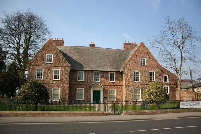
Alford Manor House
Alford Manor House — Independent Museum in the East Midlands, United Kingdom.
 📷 3
📷 3Stately homes · East Midlands
Asfordby Hall
Asfordby Hall — historic building in Leicestershire, England, UK.
 📷 3
📷 3Stately homes · East Midlands
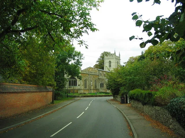
Ashby Folville Manor
Ashby Folville Manor — manor house in Gaddesby, Melton, Leicestershire, England, UK.
Frequently asked questions
- Where is Wingfield Manor?
- Wingfield Manor is in Derbyshire, the East Midlands, United Kingdom (postcode DE55 7NH), in the parish of South Wingfield.
- What is Wingfield Manor?
- Wingfield Manor — ruined manor house in Derbyshire, England, UK.
- How do I get to Wingfield Manor?
- The nearest railway station is Hammersmith, about 3.7 km away. The nearest town is South Wingfield. Drivers can use postcode DE55 7NH.
- Who runs Wingfield Manor?
- Wingfield Manor is operated by English Heritage.
- Is Wingfield Manor a listed building?
- Wingfield Manor is officially recognised as scheduled monument listed.
- Is Wingfield Manor free to visit?
- Yes, Wingfield Manor is free to enter.
- How do I get to Wingfield Manor?
- The nearest railway station is Hammersmith, about 3.7 km away. Drivers can navigate to postcode DE55 7NH.