
Historic bridges · Yorkshire & the Humber
Wilmington Swing Bridge
In or near Kingston upon Hull.
Wilmington Swing Bridge — Grade II listed building-listed bridge in england-yorkshire, United Kingdom.

Bernard Sharp — CC BY-SA 2.0 via Wikimedia Commons licence

Plan your visit
- Typical visit
- 15 min–30 min
- Nearest railway station
- Hull Paragon Interchange · 1.8 km
- Free entry
- Dog-friendly
Getting there & planning your visit
To visit Wilmington Swing Bridge, the nearest railway station is Hull Paragon Interchange, located 1.8 km away. Entry to the bridge is free. The postcode for sat-nav is HU5 1RH.
About
Wilmington Swing Bridge is a Grade II listed building-listed bridge in england-yorkshire, United Kingdom, registered on the National Heritage List for England (NHLE entry 1197815). Listed status protects buildings and structures of special architectural or historic interest. See the linked Wikipedia article for further details.
Photo gallery
See it from the streetimagery from 2018
Imagery © Mapillary contributors, CC BY-SA 4.0
Heritage listing
The River Hull is a navigable river in the East Riding of Yorkshire in Northern England. It rises from a series of springs to the west of Driffield, and enters the Humber Estuary at Kingston upon Hull. Following a period when the Archbishops of York charged tolls for its use, it became a free navigation. The upper reaches became part of the Driffield Navigation from 1770, after which they were again subject to tolls, and the section within the city of Hull came under the jurisdiction of the Port of Hull, with the same result. Most of its course is through low-lying land that is at or just above sea level, and regular flooding has been a long-standing problem along the waterway. Drainage schemes to alleviate it were constructed on both sides of the river.
From the Historic England List Entry under OGL v3.
From the Wikipedia article
The River Hull is a navigable river in the East Riding of Yorkshire in Northern England. It rises from a series of springs to the west of Driffield, and enters the Humber Estuary at Kingston upon Hull. Following a period when the Archbishops of York charged tolls for its use, it became a free navigation. The upper reaches became part of the Driffield Navigation from 1770, after which they were again subject to tolls, and the section within the city of Hull came under the jurisdiction of the Port of Hull, with the same result. Most of its course is through low-lying land that is at or just above sea level, and regular flooding has been a long-standing problem along the waterway. Drainage schemes to alleviate it were constructed on both sides of the river. The Holderness Drainage scheme to the east was completed in 1772, with a second phase in 1805, and the Beverley and Barmston Drain to the west was completed in 1810. Since 1980, the mouth of the river has been protected by a tidal barrier at the estuary, which can be closed to prevent tidal surges entering the river system and causing flooding upriver. Most of the bridges which cross the river are movable, to allow shipping to pass. There are six swing bridges; four bascule bridges, two of which have twin leaves, one for each carriageway of the roads which they carry; and three Scherzer rolling lift bascule bridges. The former Scott Street Bridge (taken out of use 1994 and dismantled 2020) was originally powered from a high pressure water main maintained by the first public power distribution company in the world.
Excerpt from Wikipedia under CC BY-SA 4.0. See the source article linked in Sources below.
- Coordinates
- 53.7588, -0.3360
- District
- Kingston upon Hull, City of
- Parish
- Kingston upon Hull, City of, unparished area
- Postcode
- HU5 1RH
- Parliamentary constituency
- Kingston upon Hull North and Cottingham
- Nearest railway station
- Hull Paragon Interchange — 1.8 km
Sources
- wikidata: Q26492256 (CC0)
- wikipedia: Wilmington Swing Bridge, Hull (CC BY-SA 4.0)
Other places nearby

Bridge Over Drain
Historic bridges · 0.6 km

Sculcoates Bridge
Historic bridges · 0.7 km

The Old Bull 'N' Bush
Historic pubs · 0.8 km

National Picture Theatre
Theatres · 0.9 km

Politicians
Memorials & monuments · 1.1 km

Mayfair Cinema
Theatres · 1.1 km
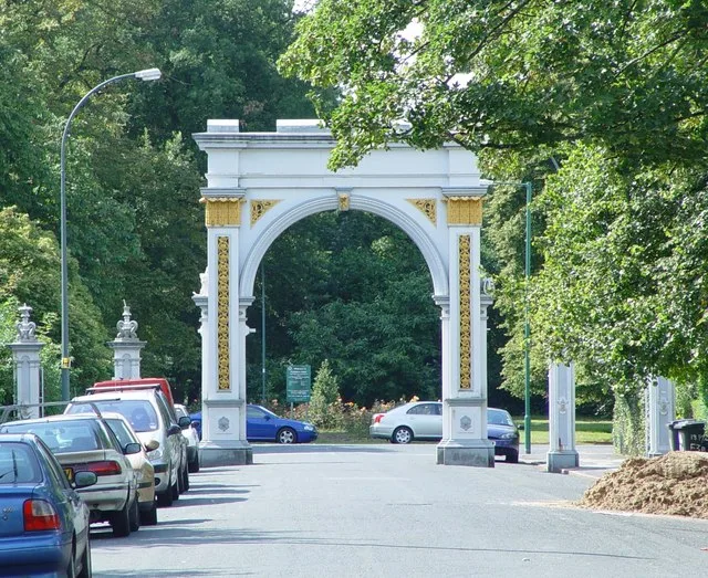
Pearson Park
Parks · 1.1 km

Charterhouse, Kingston upon Hull
Historic houses · 1.1 km

Ron Dearing UTC
Natural landmarks · 1.2 km

Queen Victoria
Memorials & monuments · 1.3 km

Prince Albert
Memorials & monuments · 1.3 km
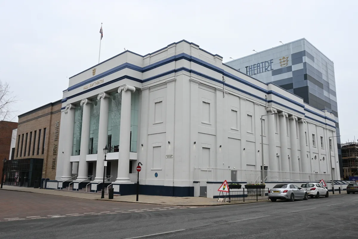
Hull New Theatre
Theatres · 1.3 km
Nearby
📷 4Historic bridges · Yorkshire & the Humber
Bridge Over Drain
Bridge Over Drain — Grade II listed building-listed bridge in england-yorkshire, United Kingdom.
📷 3Historic bridges · Yorkshire & the Humber
Sculcoates Bridge
Sculcoates Bridge — Grade II listed building-listed bridge in england-yorkshire, United Kingdom.
📷 7Historic pubs · Yorkshire & the Humber
The Old Bull 'N' Bush
The Old Bull 'N' Bush in England Yorkshire, United Kingdom.
📷 5Theatres · Yorkshire & the Humber
National Picture Theatre
National Picture Theatre in England Yorkshire, United Kingdom.
📷 3Memorials & monuments · Yorkshire & the Humber
Politicians
Politicians — a memorial in england-yorkshire, United Kingdom.
📷 4Theatres · Yorkshire & the Humber
Mayfair Cinema
Mayfair Cinema in England Yorkshire, United Kingdom.
Where to eat & stay near Wilmington Swing Bridge
Places to stay
 📷 7
📷 7Hotels · Yorkshire & the Humber
DoubleTree by Hilton Hull
DoubleTree by Hilton Hull — a hotel in england yorkshire. 4-star. Brand: DoubleTree.
 📷 5
📷 5Campsites · Yorkshire & the Humber
Marshlands Alpacas
Marshlands Alpacas — a campsite in england yorkshire.
 📷 5
📷 5Caravan parks · Yorkshire & the Humber
Roxton, Caravan & Motorhome Club
Roxton, Caravan & Motorhome Club — a caravan park in england yorkshire.
 📷 5
📷 5Caravan parks · Yorkshire & the Humber
Spring Valley Campsite
Spring Valley Campsite — a caravan park in england yorkshire.
 📷 5
📷 5Caravan parks · Yorkshire & the Humber
Silver Birch Holiday Home Park
Silver Birch Holiday Home Park — a caravan park in england yorkshire.
 📷 5
📷 5Campsites · Yorkshire & the Humber
Butt Farm Caravan and Camping site
Butt Farm Caravan and Camping site — a campsite in england yorkshire.
Places to eat & drink
📷 7Historic pubs · Yorkshire & the Humber
The Old Bull 'N' Bush
The Old Bull 'N' Bush in England Yorkshire, United Kingdom.
 📷 5
📷 5Historic pubs · Yorkshire & the Humber
The Old English Gentleman Public House
The Old English Gentleman Public House in England Yorkshire, United Kingdom.
 📷 7
📷 7Historic pubs · Yorkshire & the Humber
Dram Shop Public House
Dram Shop Public House in England Yorkshire, United Kingdom.
 📷 7
📷 7Historic pubs · Yorkshire & the Humber
Haworth Arms Public House
Haworth Arms Public House in England Yorkshire, United Kingdom.
 📷 5
📷 5Historic pubs · Yorkshire & the Humber
Burlington Tavern
Burlington Tavern in England Yorkshire, United Kingdom.
 📷 5
📷 5Historic pubs · Yorkshire & the Humber
The Masters Bar Public House
The Masters Bar Public House in England Yorkshire, United Kingdom.
More bridges in this region
 📷 5
📷 5Historic bridges · Yorkshire & the Humber
Broadbottom Viaduct
Broadbottom Viaduct is a historic bridge in the United Kingdom.
 📷 3
📷 3Historic bridges · Yorkshire & the Humber
Goyt Cliff Viaduct
Goyt Cliff Viaduct is a historic bridge in the United Kingdom.
 📷 3
📷 3Historic bridges · Yorkshire & the Humber
Iron Bridge
Iron Bridge is a historic bridge in the United Kingdom.
.jpg?width=1200) 📷 5
📷 5Historic bridges · Yorkshire & the Humber
Marple Aqueduct
Marple Aqueduct is a historic bridge in the United Kingdom.
Frequently asked questions
- Where is Wilmington Swing Bridge?
- Wilmington Swing Bridge is in Yorkshire, United Kingdom (postcode HU5 1RH), in the parish of Kingston upon Hull, City of, unparished area.
- What is Wilmington Swing Bridge?
- Wilmington Swing Bridge — Grade II listed building-listed bridge in england-yorkshire, United Kingdom.
- How do I get to Wilmington Swing Bridge?
- The nearest railway station is Hull Paragon Interchange, about 1.8 km away. The nearest town is Kingston upon Hull. Drivers can use postcode HU5 1RH.
- Is Wilmington Swing Bridge a listed building?
- Wilmington Swing Bridge is officially recognised as Grade II listed building listed.
- Is Wilmington Swing Bridge free to visit?
- Yes, Wilmington Swing Bridge is free to enter.
- How do I get to Wilmington Swing Bridge?
- The nearest railway station is Hull Paragon Interchange, about 1.8 km away. Drivers can navigate to postcode HU5 1RH.