
Historic houses · South West England
Wigborough Manor House
In or near Seavington St Michael.
Wigborough Manor House — Grade I listed house in South Somerset, England, UK.

Wikimedia Commons contributors — see linked file page for photographer and licence licence

Plan your visit
- Typical visit
- 1 h–2 h
- Nearest railway station
- Crewkerne · 6.6 km
- Family-friendly
- Limited wheelchair access
Getting there & planning your visit
Wigborough Manor House is located in Somerset, postcode TA13 5LP, and the nearest railway station is Crewkerne, which is 6.6 km away. Entry details are not provided, and wheelchair accessibility is limited.
About
Wigborough Manor House is a historic house in the United Kingdom — typically a country seat, manor, or town house with notable architecture or history. Heritage designation: Grade I listed building. Wikidata describes it as: "Grade I listed house in South Somerset, England, UK". Coordinates: 50.9331°, -2.7847°.
Photo gallery
From the Wikipedia article
Wigborough Manor House is a manor house in South Petherton, Somerset, England. It was partly built in 1585, although it was never completed to the original designs and was subsequently modified. It has been designated as a Grade I listed building. The estate was shared by members of the Brome Family from 1581 to 1615, when it passed to the family of Hele of Flete, who held it for most of the 17th century. The house is built of local hamstone with Welsh slate roofs. The core the house consists of a screens passage with a gallery above it. When the house was built, there was a projecting garderobe turret; however, this has since been removed. Dendochronology of the wood forming the tie-beam and collar-beam trusses of the roof has shown that a construction date of 1585 is more likely than the previous estimates, which suggested an earlier date. A two-storey house in the grounds was originally a brewhouse or dairy. It was built in the 19th century. There is also a former coach house from the 18th century. The cider house includes cellars and a loft. There are also various barns and stables, part of which dates from 1765. The boundary wall has sections which date from the 16th century; however, much of it was rebuilt in the 18th and 19th centuries. The Vaux Park Polo Club has its headquarters at Wigborough Manor.
Excerpt from Wikipedia under CC BY-SA 4.0. See the source article linked in Sources below.
- Coordinates
- 50.9331, -2.7847
- District
- Somerset
- Parish
- South Petherton
- Postcode
- TA13 5LP
- Parliamentary constituency
- Yeovil
- Established
- 1585
- Nearest railway station
- Crewkerne — 6.6 km
Sources
- wikidata: Q7999572 (CC0)
- wikipedia: Wigborough Manor House (CC BY-SA 4.0)
- commons: Wigborough Manor.jpg (CC BY-SA 4.0)
Other places nearby

Creedy Bridge At Ngr St 4592 1573 (That Part In Norton Sub Hamdon Cp)
Historic bridges · 1.1 km

Group Of Six Monuments In Churchyard, Immerdiately South Of Chancel, Church Of Saint Peter And Saint Paul
Memorials & monuments · 1.8 km

The Cat Head Inn
Historic pubs · 1.9 km
Chiselborough
Villages · 2.0 km

Hideaway camping
Campsites · 2.2 km

Westdown Orchard
Caravan parks · 2.2 km
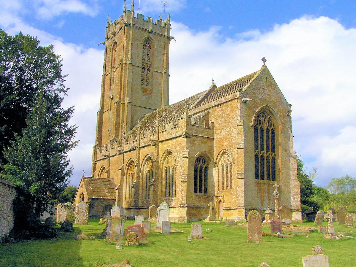
Church of St Mary the Virgin, Norton-sub-Hamdon
Historic churches · 2.3 km

South Petherton
Villages · 2.3 km
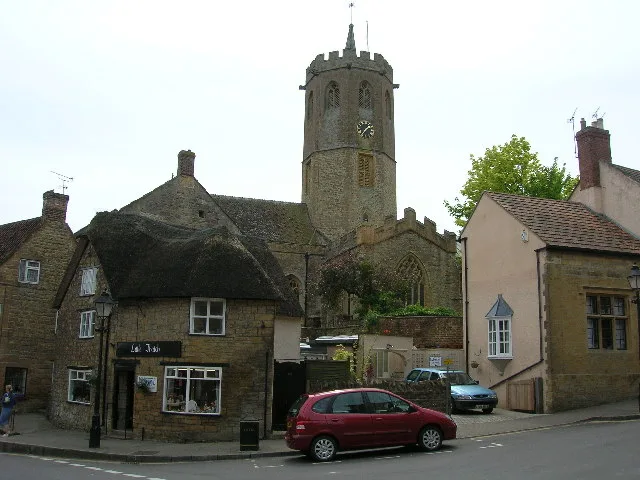
Church of St Peter and St Paul, South Petherton
Historic churches · 2.3 km

Lopen War Memorial
Memorials & monuments · 2.3 km

Brympton Hill
Mountains & hills · 2.4 km

Templeman Monument N Churchyard, About 2 Metres East Of South Chancel Aisle, Church Of All Saints
Memorials & monuments · 2.4 km
Nearby
📷 3Historic bridges · South West England
Creedy Bridge At Ngr St 4592 1573 (That Part In Norton Sub Hamdon Cp)
Creedy Bridge At Ngr St 4592 1573 (That Part In Norton Sub Hamdon Cp) — Grade II listed building-listed bridge in england-south-west, United Kingdom.
📷 3Memorials & monuments · South West England
Group Of Six Monuments In Churchyard, Immerdiately South Of Chancel, Church Of Saint Peter And Saint Paul
Group Of Six Monuments In Churchyard, Immerdiately South Of Chancel, Church Of Saint Peter And Saint Paul — Grade II listed building-listed memorial in england-south-west, United Kingdom.
📷 5Historic pubs · South West England
The Cat Head Inn
The Cat Head Inn in England South West, United Kingdom.
📷 5📷 5📷 5Caravan parks · South West England
Westdown Orchard
Westdown Orchard — a caravan park in england south west.
Where to eat & stay near Wigborough Manor House
Places to stay
📷 5📷 5Caravan parks · South West England
Westdown Orchard
Westdown Orchard — a caravan park in england south west.
 📷 5
📷 5Caravan parks · South West England
Southfork
Southfork — a caravan park in england south west.
 📷 5
📷 5Campsites · South West England
The Yurt Retreat
The Yurt Retreat — a campsite in england south west.
 📷 7
📷 7 📷 5
📷 5Campsites · South West England
Wytch Wood Camping
Wytch Wood Camping — a campsite in england south west.
Places to eat & drink
📷 5Historic pubs · South West England
The Cat Head Inn
The Cat Head Inn in England South West, United Kingdom.
 📷 7
📷 7Historic pubs · South West England
The Brewers' Arms
The Brewers' Arms in England South West, United Kingdom.
 📷 7
📷 7Historic pubs · South West England
The Muddled Man Public House
The Muddled Man Public House in England South West, United Kingdom.
 📷 5
📷 5 📷 7
📷 7Historic pubs · South West England
Fleur De Lis Hotel
Fleur De Lis Hotel in England South West, United Kingdom.
 📷 7
📷 7Historic pubs · South West England
Swan Inn And Attached Stables
Swan Inn And Attached Stables in England South West, United Kingdom.
More historic houses in this region
 📷 5
📷 5Historic houses · South West England
1 South Parade
1 South Parade — Grade I listed house in Bath, Somerset, England, UK.
_(geograph_6440799).jpg?width=1200) 📷 5
📷 5Historic houses · South West England
1-4 Lansdowne Grove, Morris Lane
1-4 Lansdowne Grove, Morris Lane — houses in Devizes, Wiltshire, England, UK.
 📷 5
📷 5Historic houses · South West England
2 North Parade
2 North Parade — building in Bath, UK; part of Abbey Hotel.
 📷 5
📷 5Historic houses · South West England
2, South Place, Lacock Road
2, South Place, Lacock Road — house in Corsham, Wiltshire, England, UK.
Frequently asked questions
- Where is Wigborough Manor House?
- Wigborough Manor House is in South-West England, United Kingdom (postcode TA13 5LP), in the parish of South Petherton.
- What is Wigborough Manor House?
- Wigborough Manor House — Grade I listed house in South Somerset, England, UK.
- How do I get to Wigborough Manor House?
- The nearest railway station is Crewkerne, about 6.6 km away. The nearest town is Seavington St Michael. Drivers can use postcode TA13 5LP.
- When was Wigborough Manor House built?
- Built or established in 1585.
- Who owns Wigborough Manor House?
- Wigborough Manor House is owned by | designation1 =Grade I Listed Building.
- Is Wigborough Manor House a listed building?
- Wigborough Manor House is officially recognised as Grade I listed building listed.
- How do I get to Wigborough Manor House?
- The nearest railway station is Crewkerne, about 6.6 km away. Drivers can navigate to postcode TA13 5LP.