
Gardens · East of England
White Roding Windmill
In or near Margaret Roding.
White Roding Windmill — a garden in england-london, United Kingdom.

Bikeboy — CC BY-SA 2.0 via Wikimedia Commons licence

Plan your visit
- Typical visit
- 1 h–2.5 h
- Best time of year
- Spring & summer (Apr–Sep)
- Nearest railway station
- Sawbridgeworth · 7.6 km
- Dog-friendly
Getting there & planning your visit
To visit White Roding Windmill, the nearest railway station is Sawbridgeworth, located 7.6 km away. The postcode for sat-nav is CM6 1RL. Entry details are not specified, so please check in advance for accessibility and any potential fees.
About
White Roding Windmill is a garden of interest in england-london, United Kingdom — drawn from open-data sources for visitor reference. See the linked Wikipedia article for the full description.
Photo gallery
Heritage listing
Details TL51SE WHITE RODING CHURCH ROAD 8/146 Windmill 7.2.52 GV II Late C19 Tower Windmill of yellow brick with round weatherboard cap and small ball finial. This mill replaced the post mill blown down 1877 and was working until 1931. Said to be the last Windmill built in Essex. Listing NGR: TL5642813082 Legacy The contents of this record have been generated from a legacy data system. Legacy System number: 120603 Legacy System: LBS
From the Historic England List Entry under OGL v3.
From the Wikipedia article
White Roding Windmill is a Grade II listed preserved tower mill at White Roding, Essex, England.
Excerpt from Wikipedia under CC BY-SA 4.0. See the source article linked in Sources below.
Background
History
White Roding Windmill was built in 1877, replacing a post mill which had stood on the site since 1609. The post mill was destroyed on 1 January 1877 when the main post broke in a gale as the miller had too much cloth spread on the Common sails. to replace the post mill. The mill worked by wind until 1926, and then by engine until 1931. The lease on the mill expired that year and was not renewed. In 1937, the mill was purchased by the actor Michael Redgrave, passing to a company in Barrow-in-Furness in 1946. During the 1950s, the mill was derelict and threatened with demolition on more than one occasion. In the 1970s, millwrights Philip Barrett-Lennard and Vincent Pargeter built a new cap…
Description
White Roding windmill is a five-storey brick tower mill which had an ogee cap winded by a six bladed Fantail. It had four Patent sails carried on a cast iron windshaft. The only remaining piece of machinery is the Brake Wheel, with 115 cogs. All other machinery was removed shortly after the Second World War. The tower is 42 ft high, 22 ft diameter at the base and 13 ft diameter at the curb. The walls are 26 in thick at the base. The mill is 50 ft to the top of the cap. The mill drove two pairs of underdrift millstones.
Sourced from Wikipedia under CC BY-SA 4.0.
- Coordinates
- 51.7945, 0.2669
- County
- Essex
- District
- Uttlesford
- Parish
- White Roothing
- Postcode
- CM6 1RL
- Parliamentary constituency
- Harlow
- Established
- 1877
- Nearest railway station
- Sawbridgeworth — 7.6 km
- Official site
- www.windmillworld.com
Sources
- wikidata: Q7995341 (CC0)
- wikipedia: White Roding Windmill (CC BY-SA 4.0)
Other places nearby

White Roding
Villages · 0.5 km

Aythorpe Roding
Museums · 2.8 km

Aythorpe Roding Windmill
Windmills · 3.4 km

Margaret Roding
Towns & cities · 3.4 km

Hatfield Broad Oak
Villages · 3.8 km

Rundle House
Historic houses · 3.9 km

Old Court House
Historic houses · 3.9 km

Down Hall Motte
Castles · 4.0 km

B26 Crash Site
Memorials & monuments · 4.0 km

Matching Hall
Historic houses · 4.1 km

Matching
Villages · 4.1 km

Down Hall
Historic houses · 4.2 km
Nearby
📷 5📷 5Museums · East of England
Aythorpe Roding
Aythorpe Roding is a village and civil parish in the Uttlesford district of Essex, England. The village is included in the eight hamlets and villages called The Rodings. Aythorpe Roding is 9 miles (14
📷 5Windmills · East of England
Aythorpe Roding Windmill
Aythorpe Roding Windmill — Grade II* listed building-listed windmill in england-london, United Kingdom.
📷 5Towns & cities · East of England
Margaret Roding
Margaret Roding — village and civil parish in Essex, England, UK.
📷 5📷 5Historic houses · East of England
Rundle House
Rundle House — house in Hatfield Broad Oak, Uttlesford, England, UK.
Where to eat & stay near White Roding Windmill
Places to stay
 📷 5
📷 5Caravan parks · East of England
Lakeview Caravan Park
Lakeview Caravan Park — a caravan park in england london.
 📷 5📷 5📷 5
 📷 5
📷 5Campsites · East of England
Kecksy's Farm Campsite
Kecksy's Farm Campsite — a campsite in england london.
📷 5Campsites · East of England
Skreens Park Activity Centre
Skreens Park Activity Centre — a campsite in england london.
Places to eat & drink
 📷 5
📷 5Historic pubs · East of England
The White Horse Inn Public House
The White Horse Inn Public House in England East, United Kingdom.
 📷 5
📷 5 📷 5
📷 5 📷 5
📷 5Historic pubs · East of England
The Bell Public House
The Bell Public House in England East, United Kingdom.
 📷 5
📷 5Historic pubs · East of England
King William IV Public House
King William IV Public House in England East, United Kingdom.
 📷 5
📷 5Historic pubs · East of England
George Fourth Public House (On Island At Junction With Station Road)
George Fourth Public House (On Island At Junction With Station Road) in England East, United Kingdom.
More gardens in this region
 Flagship📷 10
Gardens · East of England
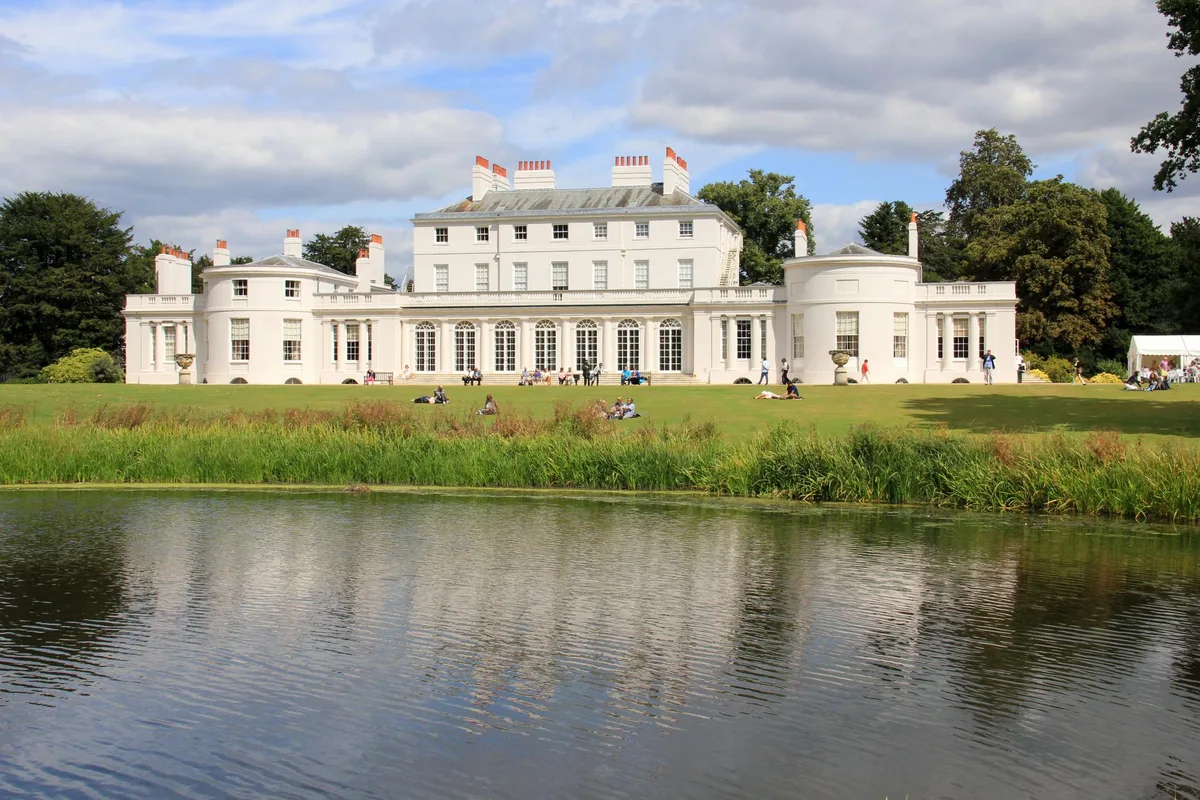
Frogmore Estate
Frogmore Estate — private gardens within the grounds of the Home Park, adjoining Windsor Castle in Berkshire, England, UK.
 Flagship📷 10
Gardens · East of England
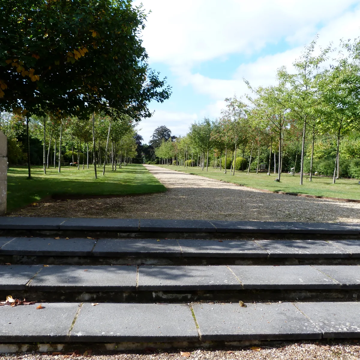
Stoke Poges Memorial Gardens
Stoke Poges Memorial Gardens — garden in Stoke Poges, Buckinghamshire, England, UK.
.jpg?width=1200) 📷 5
📷 5Gardens · East of England
Benington Lordship
Benington Lordship — country house in Hertfordshire, England, UK.
 📷 5
📷 5Gardens · East of England
Broadway
Broadway — road and green space in Letchworth, Hertfordshire, England, UK.
Frequently asked questions
- Where is White Roding Windmill?
- White Roding Windmill is in Essex, London, United Kingdom (postcode CM6 1RL), in the parish of White Roothing.
- What is White Roding Windmill?
- White Roding Windmill — a garden in england-london, United Kingdom.
- How do I get to White Roding Windmill?
- The nearest railway station is Sawbridgeworth, about 7.6 km away. Drivers can use postcode CM6 1RL.
- When was White Roding Windmill built?
- Built or established in 1877.
- Who owns White Roding Windmill?
- White Roding Windmill is owned by Private.
- Is White Roding Windmill a listed building?
- White Roding Windmill is officially recognised as Grade II listed building listed.
- How do I get to White Roding Windmill?
- The nearest railway station is Sawbridgeworth, about 7.6 km away. Drivers can navigate to postcode CM6 1RL.