
Archaeological sites · East Midlands
Whimpton Moor medieval village and moated site
In or near South Clifton.
Whimpton Moor medieval village and moated site — deserted medieval village in Nottinghamshire, England.

Wikimedia Commons contributors — see linked file page for photographer and licence licence
.jpg)
Plan your visit
- Typical visit
- 45 min–1.5 h
- Free entry
- Dog-friendly
About
Whimpton Moor medieval village and moated site is an archaeological site in the United Kingdom. Heritage designation: scheduled monument. Wikidata describes it as: "deserted medieval village in Nottinghamshire, England". Coordinates: 53.2557°, -0.8166°.
Photo gallery
From the Wikipedia article
Whimpton Village is a deserted medieval village in Nottinghamshire, England. It is near the A57 road between the villages of Darlton and Dunham-on-Trent. It is a Scheduled Monument.
Excerpt from Wikipedia under CC BY-SA 4.0. See the source article linked in Sources below.
Background
History
Whimpton is mentioned, as Wimentun, in the Domesday Book; it is described there as one of the four berewicks of the King's Manor of Duneham (Dunham). A berewick was a detached, partly independent portion of a manor. The village (spelled also Wimpton or Wymton) is mentioned in pipe rolls in the 12th, 13th and 14th centuries, mentioning land and inhabitants of the village. The village evidently did not exist by 1547, since in that year there was an inquisition post mortem on the properties of Robert Nevyll, in which Whimpton is only a field name.
Sourced from Wikipedia under CC BY-SA 4.0.
- Coordinates
- 53.2557, -0.8166
- County
- Nottinghamshire
- District
- Bassetlaw
- Parish
- Ragnall
- Postcode
- NG22 0TA
- Parliamentary constituency
- Newark
Sources
- wikidata: Q17671915 (CC0)
- wikipedia: Whimpton Village (CC BY-SA 4.0)
- commons: Whimpton deserted medieval village (geograph 5554239).jpg (CC BY-SA 4.0)
Other places nearby
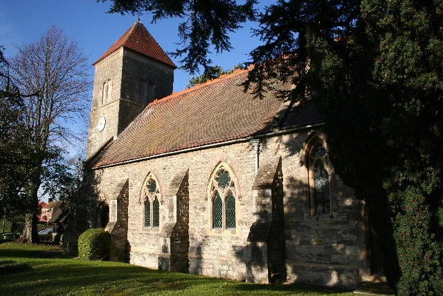
St Giles' Church, Darlton
Historic churches · 1.2 km

Darlton
Villages · 1.6 km

East Drayton Village Sign
Public art & sculpture · 2.1 km
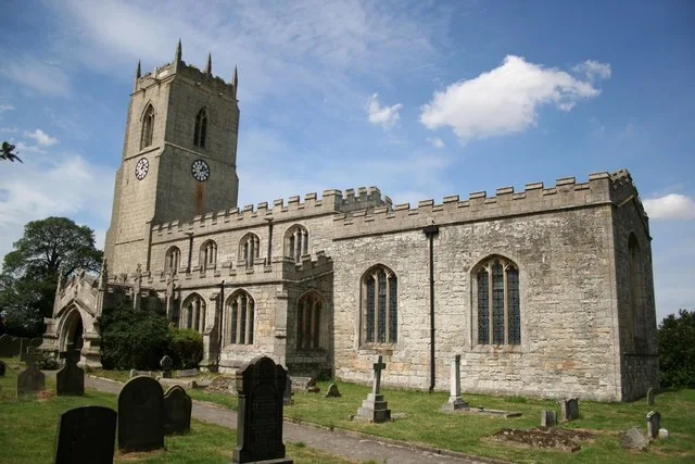
St Peter's Church, East Drayton
Historic churches · 2.1 km

Fledborough
Villages · 2.1 km

Dunham-On-Trent, Ragnall And Darlton War Memorial
Memorials & monuments · 2.4 km
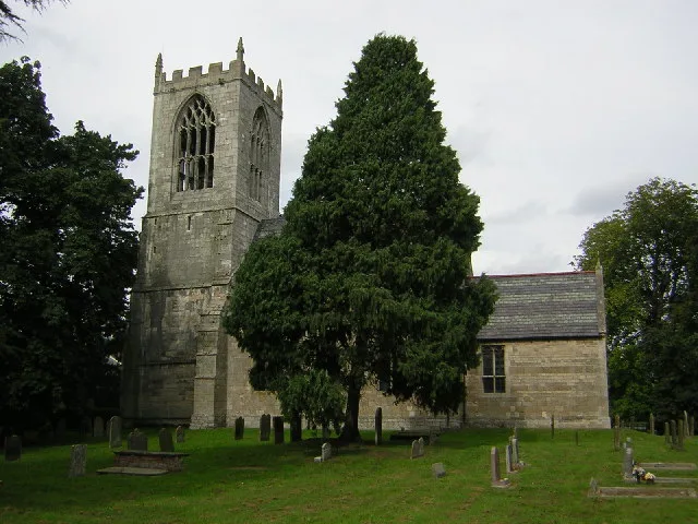
St Oswald's Church, Dunham-on-Trent
Historic churches · 2.5 km

Ringwork at Kingshaugh Farm
Literary houses · 2.6 km
Kingshaugh Camp
Castles · 2.6 km

Laneham
Villages · 2.7 km

St Gregory's Church, Fledborough
Historic churches · 2.7 km

Dunham Bridge
Historic bridges · 2.9 km
Nearby
📷 3Historic churches · East Midlands
St Giles' Church, Darlton
St Giles' Church, Darlton — church in Bassetlaw, UK.
📷 5📷 3Public art & sculpture · East Midlands
East Drayton Village Sign
East Drayton Village Sign — a public art in East Midlands, United Kingdom.
📷 3Historic churches · East Midlands
St Peter's Church, East Drayton
St Peter's Church, East Drayton — church in Bassetlaw, UK.
📷 5📷 3Memorials & monuments · East Midlands
Dunham-On-Trent, Ragnall And Darlton War Memorial
Dunham-On-Trent, Ragnall And Darlton War Memorial — Grade II listed building-listed memorial in england-east-midlands, United Kingdom.
Where to eat & stay near Whimpton Moor medieval village and moated site
Places to stay
 📷 5
📷 5Caravan parks · East Midlands
Trentside Caravan Park
Trentside Caravan Park — a caravan park in england east midlands.
 📷 5
📷 5Caravan parks · East Midlands
Manor House Caravan Park
Manor House Caravan Park — a caravan park in england east midlands.
📷 5Campsites · East Midlands
Brownlow Arms Camp Site
Brownlow Arms Camp Site — a campsite in england east midlands.
 📷 5
📷 5Caravan parks · East Midlands
Marnham Meadows Holiday Park and Fishing Lake
Marnham Meadows Holiday Park and Fishing Lake — a caravan park in england east midlands.
 📷 5
📷 5Campsites · East Midlands
Marnham Lake Fishing and Camping
Marnham Lake Fishing and Camping — a campsite in england east midlands.
 📷 5
📷 5Campsites · East Midlands
Trentfield Farm
Trentfield Farm — a campsite in england east midlands.
Places to eat & drink
 📷 5
📷 5 📷 5
📷 5Historic pubs · East Midlands
The Newcastle Arms
The Newcastle Arms in England East Midlands, United Kingdom.
 📷 5
📷 5Historic pubs · East Midlands
Ingelby Arms Public House
Ingelby Arms Public House in England Yorkshire, United Kingdom.
 📷 5
📷 5Historic pubs · East Midlands
New Inn Public House
New Inn Public House in England Yorkshire, United Kingdom.
 📷 5
📷 5 📷 7
📷 7Historic pubs · East Midlands
Black Boy Public House
Black Boy Public House in England Yorkshire, United Kingdom.
More archaeological sites in this region
 📷 4
📷 4Archaeological sites · East Midlands
Roman site, Priors Meadow
Roman site, Priors Meadow — archaeological site in Deeping St James, South Kesteven, England, UK.
 📷 5
📷 5Archaeological sites · East Midlands
Site of St Peter's Church
Site of St Peter's Church — site of former church in Stamford, Lincolnshire, England, UK.
 📷 5
📷 5Archaeological sites · East Midlands
Stamford East railway station
Stamford East railway station — an archaeological site in East Midlands, United Kingdom.
 📷 5
📷 5Archaeological sites · East Midlands
Stamford East railway sheds (now residential)
Stamford East railway sheds (now residential) — an archaeological site in East Midlands, United Kingdom.
Frequently asked questions
- Where is Whimpton Moor medieval village and moated site?
- Whimpton Moor medieval village and moated site is in Nottinghamshire, the East Midlands, United Kingdom (postcode NG22 0TA), in the parish of Ragnall.
- What is Whimpton Moor medieval village and moated site?
- Whimpton Moor medieval village and moated site — deserted medieval village in Nottinghamshire, England.
- How do I get to Whimpton Moor medieval village and moated site?
- The nearest town is South Clifton. Drivers can use postcode NG22 0TA.
- Is Whimpton Moor medieval village and moated site a listed building?
- Whimpton Moor medieval village and moated site is officially recognised as scheduled monument listed.
- Is Whimpton Moor medieval village and moated site free to visit?
- Yes, Whimpton Moor medieval village and moated site is free to enter.
- How do I get to Whimpton Moor medieval village and moated site?
- Drivers can navigate to postcode NG22 0TA. It sits within the Newark parliamentary constituency.