
Archaeological sites · South West England
Westwood Long Barrow
In or near Duntisbourne Abbots.
Westwood Long Barrow — archaeological in england west midlands.

Mike Faherty — CC BY-SA 2.0 via Wikimedia Commons licence

Plan your visit
- Typical visit
- 45 min–1.5 h
- Nearest railway station
- Stroud · 8.6 km
About
Westwood Long Barrow is a archaeological located in england west midlands. A British archaeological site recorded in OpenStreetMap with at least one heritage quality signal (Wikidata link, Wikipedia article or designated operator).
Photo gallery
Protected designations
- Area of Outstanding Natural Beauty: Cotswolds
Designations sourced from Natural England open data under OGL v3.
Place summary
Westwood Long Barrow is an archaeological site located in the West Midlands. This Neolithic burial mound is notable for its ancient construction methods and historical significance. As a rare example of a long barrow in the region, it offers insights into early human burial practices and community structures. The site is of particular interest to archaeologists and historians studying prehistoric Britain.
AI-generated from the structured facts on this page (operator, designation, listing, era). Not a substitute for visiting.
- Coordinates
- 51.7461, -2.0938
- County
- Gloucestershire
- District
- Stroud
- Parish
- Bisley-with-Lypiatt
- Postcode
- GL7 6LW
- Parliamentary constituency
- North Cotswolds
- Nearest railway station
- Stroud — 8.6 km
Sources
- osm: n485354347 (ODbL)
- wikidata: Q17674593 (CC0)
Other places nearby

Westwood Long Barrow
Burial mounds & barrows · 0.0 km

Edgeworth
Villages · 1.4 km
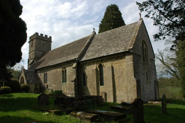
Church of St Mary
Historic churches · 1.4 km
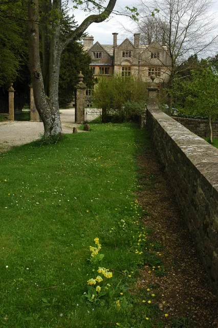
Edgeworth Manor
Stately homes · 1.4 km

Daneway House
Gardens · 1.7 km

Far Oakridge Barrow
Burial mounds & barrows · 1.7 km

Sapperton Valley
Parks · 1.7 km
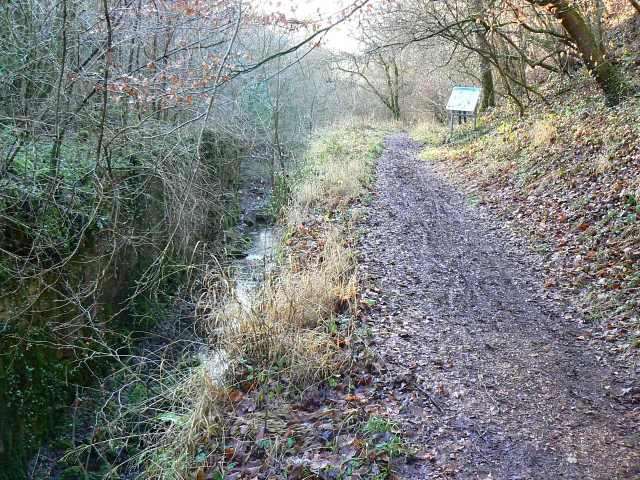
Siccaridge Wood
Wildlife reserves · 1.7 km

Daneway Inn
Historic pubs · 1.9 km

Daneway Bridge
Historic bridges · 1.9 km
%2C_Thames_and_Severn_canal%2C_near_Frampton_Mansell_-_geograph.org.uk_-_1133971.jpg?width=1200)
Siccaridge Wood
Forests & woodlands · 2.0 km

The Giants Stone
Archaeological sites · 2.0 km
Nearby
Burial mounds & barrows · South West England
Westwood Long Barrow
Westwood Long Barrow — a burial mound in england-west-midlands, United Kingdom.
📷 5📷 5Historic churches · South West England
Church of St Mary
Church of St Mary — church in Edgeworth Gloucestershire, England, UK.
📷 3Stately homes · South West England
Edgeworth Manor
Edgeworth Manor — manor house in Edgeworth, Gloucestershire, England, UK.
📷 4Gardens · South West England
Daneway House
Daneway House — a garden in england-west-midlands, United Kingdom.
📷 3Burial mounds & barrows · South West England
Far Oakridge Barrow
Far Oakridge Barrow — a burial mound in england-west-midlands, United Kingdom.
Where to eat & stay near Westwood Long Barrow
Places to stay

Campsites · South West England
Jackbarrow Camping
Jackbarrow Camping — a campsite in england west midlands.
 📷 7
📷 7 📷 5
📷 5Campsites · South West England
Cherry Tree Glamping
Cherry Tree Glamping — a campsite in england west midlands.
 📷 5
📷 5Campsites · South West England
Tobacconist Farm Campsite
Tobacconist Farm Campsite — a campsite in england west midlands.
 📷 7
📷 7Hotels · South West England
Burleigh Court Hotel
Burleigh Court Hotel — a hotel in england west midlands.
 📷 5
📷 5Campsites · South West England
Buckshead Farm campsite
Buckshead Farm campsite — a campsite in england west midlands.
Places to eat & drink
📷 5 📷 5
📷 5 📷 5
📷 5Historic pubs · South West England
Five Mile House
Five Mile House in England South East, United Kingdom.
 📷 5
📷 5Historic pubs · South West England
The Ragged Cot Inn
The Ragged Cot Inn in England South East, United Kingdom.
 📷 7
📷 7Historic pubs · South West England
Foston's Ash Inn
Foston's Ash Inn in England South East, United Kingdom.
 📷 6
📷 6More archaeological sites in this region
 📷 5
📷 5Archaeological sites · South West England
Battlesbury Camp Monuments: hillfort, settlement, cemetery, barrows, enclosure, and field systems
Battlesbury Camp Monuments: hillfort, settlement, cemetery, barrows, enclosure, and field systems — archaeological site in Warminster, Wiltshire, England, UK.
 📷 2
📷 2Archaeological sites · South West England
Blandford Forest
Blandford Forest — forest in Blandford Forum, England.
 📷 5
📷 5Archaeological sites · South West England
Boulsbury Wood
Boulsbury Wood — protected area in Dorset and Hampshire, England.
.jpg?width=1200) 📷 5
📷 5Archaeological sites · South West England
Cranborne Chase
Cranborne Chase — Plateau in southern England.
Frequently asked questions
- Where is Westwood Long Barrow?
- Westwood Long Barrow is in Gloucestershire, the West Midlands, United Kingdom (postcode GL7 6LW), in the parish of Bisley-with-Lypiatt.
- What is Westwood Long Barrow?
- Westwood Long Barrow — archaeological in england west midlands.
- How do I get to Westwood Long Barrow?
- The nearest railway station is Stroud, about 8.6 km away. Drivers can use postcode GL7 6LW.
- Is Westwood Long Barrow a protected site?
- Yes — Westwood Long Barrow is part of the Cotswolds National Landscape (AONB).
- How do I get to Westwood Long Barrow?
- Drivers can navigate to postcode GL7 6LW. It sits within the North Cotswolds parliamentary constituency.