Battlefields & battle sites · South East England
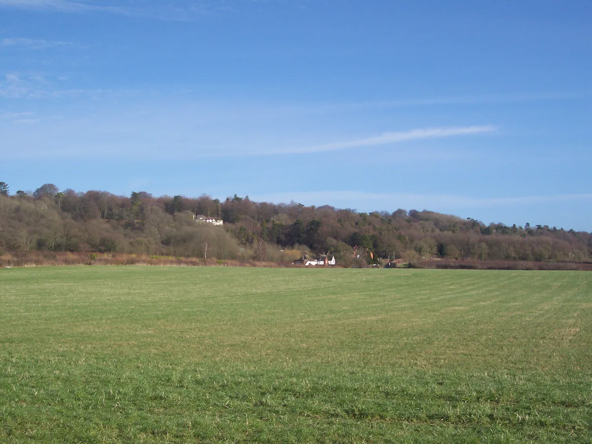
Westerham Wood
In or near Tatsfield.
Westerham Wood in England South East, United Kingdom.

Dr Neil Clifton — CC BY-SA 2.0 via Wikimedia Commons licence
%2C_Westerham_-_geograph.org.uk_-_168337.jpg)
Plan your visit
- Typical visit
- 1 h–2 h
- Nearest railway station
- Oxted · 5.1 km
- Free entry
- Dog-friendly
Getting there & planning your visit
Westerham Wood is located in Sevenoaks, Kent, with the postcode TN16 1TY. The nearest railway station is Oxted, which is 5.1 km away. Entry to the site is free.
About
Westerham Wood is a registered historic battlefield in England South East, United Kingdom. Britain's battlefields range from the medieval clashes of the Wars of the Roses to the Civil War sieges and the 1745 Jacobite Rising at Culloden — most are open landscapes with interpretive trails and battle-monument markers.
Photo gallery
Protected designations
- Site of Special Scientific Interest: Westerham Wood SSSI
- Area of Outstanding Natural Beauty: Kent Downs
Designations sourced from Natural England open data under OGL v3.
From the Wikipedia article
Westerham Wood is a 43.2 hectares (107 acres) biological Site of Special Scientific Interest north of Westerham in Kent. This ancient oak wood on Gault Clay is traditionally managed, and it has a diverse ground flora and an outstanding range of breeding birds. The insect fauna is also diverse, and 77 bryophyte and nearly 300 fungus species have been recorded. The site is private land with no public access.
Excerpt from Wikipedia under CC BY-SA 4.0. See the source article linked in Sources below.
- Coordinates
- 51.2760, 0.0620
- County
- Kent
- District
- Sevenoaks
- Parish
- Westerham
- Postcode
- TN16 1TY
- Parliamentary constituency
- Sevenoaks
- Nearest railway station
- Oxted — 5.1 km
Sources
- wikidata: Q47517486 (CC0)
- wikipedia: Westerham Wood (CC BY-SA 4.0)
Other places nearby

Westerham
Historic churches · 0.8 km

Fleapit Cinema Club (at Westerham Hall)
Cinemas · 1.1 km

Westerham
Villages · 1.2 km

The Kings Arms
Hotels · 1.2 km

Wolfe Statue
Memorials & monuments · 1.2 km

Churchill Memorial
Memorials & monuments · 1.3 km

Westerham War Memorial
Memorials & monuments · 1.3 km

The Wolfe Public House
Historic pubs · 1.3 km

The Olde House At Home Public House
Historic pubs · 1.4 km
Betsom's Hill
Mountains & hills · 1.4 km

Squerryes Court
Historic houses · 1.6 km

Westerham Brewery
Breweries · 1.7 km
Nearby
📷 5Historic churches · South East England
Westerham
Westerham — a church in england-london, United Kingdom.
📷 5Cinemas · South East England
Fleapit Cinema Club (at Westerham Hall)
Fleapit Cinema Club (at Westerham Hall) — a cinema in england london.
📷 5📷 7Hotels · South East England
The Kings Arms
The Kings Arms — a hotel in england london.
📷 5Memorials & monuments · South East England
Wolfe Statue
Wolfe Statue — a memorial in england-london, United Kingdom.
📷 5Memorials & monuments · South East England
Churchill Memorial
Churchill Memorial — a memorial in england-london, United Kingdom.
Where to eat & stay near Westerham Wood
Places to stay
📷 7Hotels · South East England
The Kings Arms
The Kings Arms — a hotel in england london.
 📷 5
📷 5 📷 5
📷 5 📷 5
📷 5 📷 5
📷 5Campsites · London
Cudham Shaws Outdoor Centre
Cudham Shaws Outdoor Centre — a campsite in england london.
 📷 7
📷 7Places to eat & drink
📷 7Historic pubs · South East England
The Wolfe Public House
The Wolfe Public House in England South East, United Kingdom.
📷 7Historic pubs · South East England
The Olde House At Home Public House
The Olde House At Home Public House in England South East, United Kingdom.
 📷 5
📷 5Historic pubs · London
The Old Jail Public House
The Old Jail Public House in England London, United Kingdom.
 📷 5
📷 5Historic pubs · London
The Beehive Public House
The Beehive Public House in England London, United Kingdom.
 📷 7
📷 7Historic pubs · London
The Riverhead Public House
The Riverhead Public House in England London, United Kingdom.
 📷 5
📷 5Historic pubs · South East England
The King And Queen Public House
The King And Queen Public House in England South East, United Kingdom.
More places in this region
_(41455530471).jpg?width=1200) 📷 5
📷 5Battlefields & battle sites · South East England
Hurricane
Hurricane — Public artwork (sculpture).
 📷 5
📷 5Battlefields & battle sites · South East England
Burnham Beeches
Burnham Beeches in England South East, United Kingdom.
 📷 5
📷 5Battlefields & battle sites · South East England
Kingley Vale
Kingley Vale in England South East, United Kingdom.
 📷 5
📷 5Battlefields & battle sites · South East England
Flight Pond Wood
Flight Pond Wood in England South East, United Kingdom.
Frequently asked questions
- Where is Westerham Wood?
- Westerham Wood is in Kent, South-East England, United Kingdom (postcode TN16 1TY), in the parish of Westerham.
- What is Westerham Wood?
- Westerham Wood in England South East, United Kingdom.
- How do I get to Westerham Wood?
- The nearest railway station is Oxted, about 5.1 km away. Drivers can use postcode TN16 1TY.
- Is Westerham Wood a protected site?
- Yes — Westerham Wood is part of the Westerham Wood SSSI Site of Special Scientific Interest and the Kent Downs National Landscape (AONB).
- Is Westerham Wood free to visit?
- Yes, Westerham Wood is free to enter.
- How do I get to Westerham Wood?
- The nearest railway station is Oxted, about 5.1 km away. Drivers can navigate to postcode TN16 1TY.